Clifton Springs
Clifton Springs
Stay
See and do
Food and drink
Shopping
Getting around
Visitor information
Clifton Springs is primarily a residential community fronting Port Phillip, located between Geelong and Portarlington.
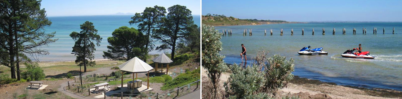
Named after mineral springs which were found in the area during 1870, Clifton Springs spans a diverse coastline consisting of a mixture of steep cliffs, sandy beaches and rocky outcrops.
A boat harbour protected by a breakwater is situated off the northern end of Jetty Road. On the western side of the harbour is a stretch of sandy beach near a dismantled pier. A scenic walk with views along the coast and north to the You Yangs mountain range can be enjoyed by following the pathway through Adrian Mannix Reserve along the cliffs above the harbour.
The secluded Dell Picnic Area, next to the Clifton Springs Golf Course at the end of Springs Street, is accessible via several walking tracks which descend into an area that appears to be carved out of the surrounding cliffs. There are shelters and a large expanse of open lawn which extends right down to the sandy beach.
At the northern end of Beacon Point Road are walking tracks in both directions through a public reserve along the tops of the cliffs. Access to the beach below is possible using steps which descend the cliff face.
While there is a small collection of shops in Pinnaroo Avenue, major shopping facilities can be found in neighbouring Drysdale to the south. Drysdale is also the terminus of the Bellarine Peninsula Railway which offers steam train rides along a restored track to Queenscliff.