Traralgon - photos
Traralgon
Stay
See and do
Food and drink
Shopping
Getting around
Visitor information
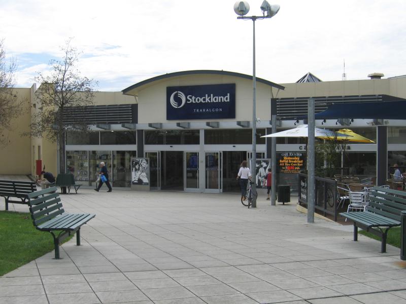
Stockland shopping centre, entrance corner Franklin St and Post Office Pl
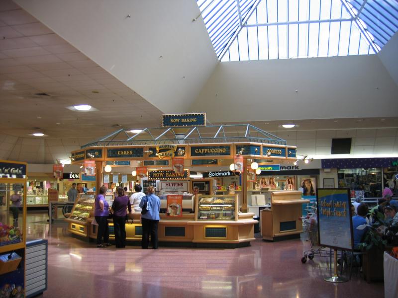
Inside Stockland shopping centre
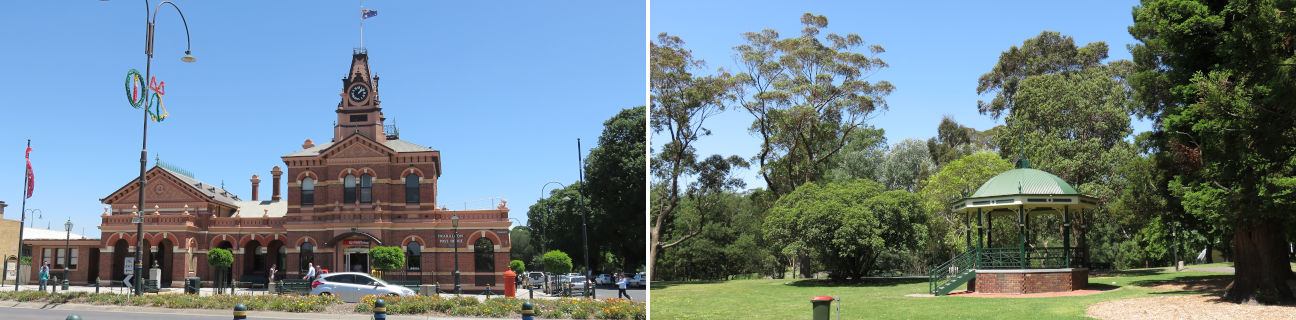
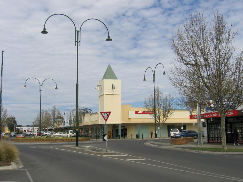
Post Office, view south along Franklin St at Kay St
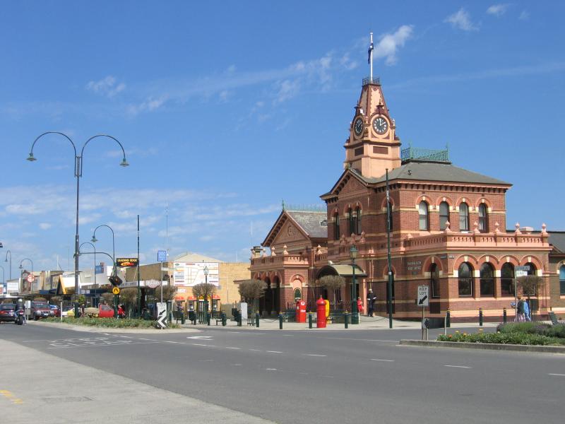
Post Office and shops, view south along Franklin St at Kay St
Post Office and shops, view south along Franklin St at Kay St
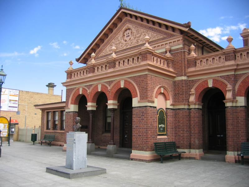
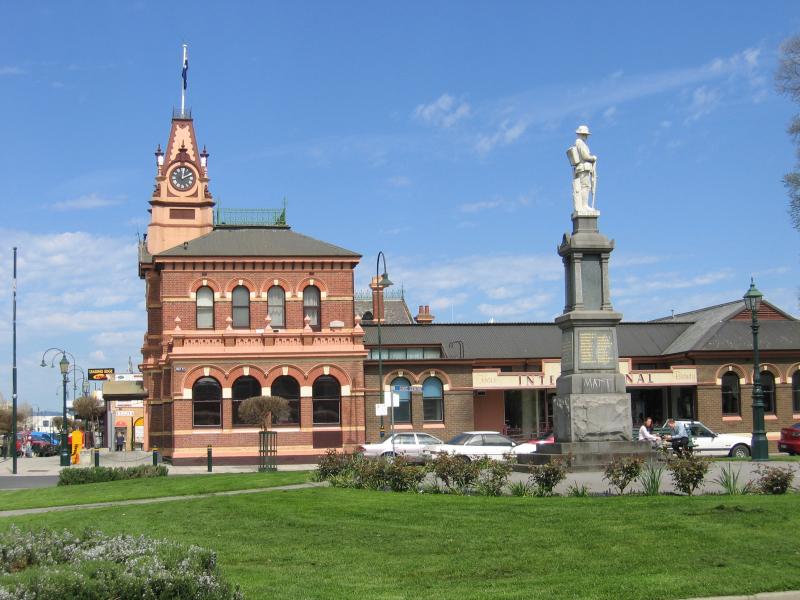
Post Office, Franklin St
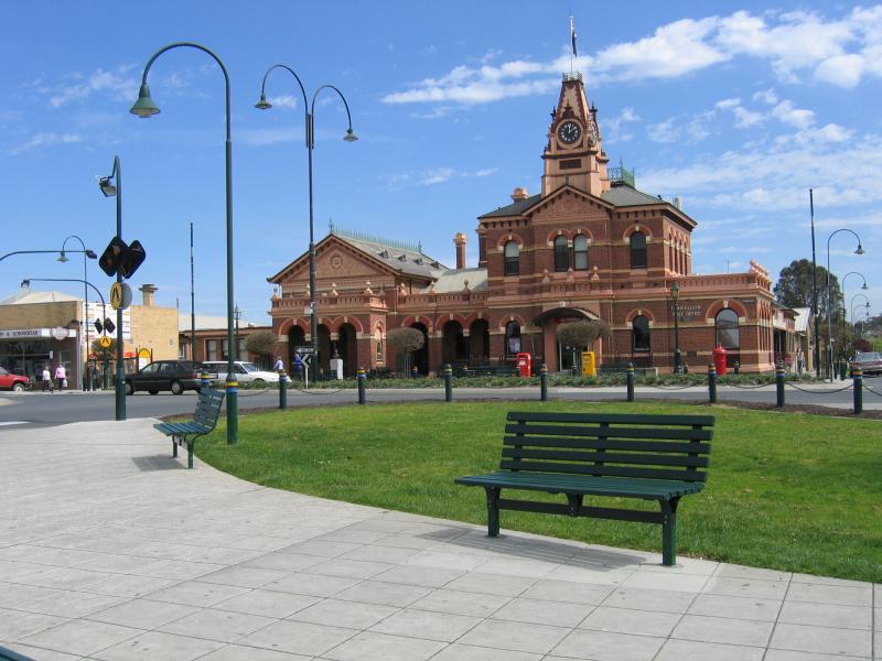
View west to Post Office from Post Office Pl
View west along Post Office Pl towards Franklin St
View west along Post Office Pl towards Post Office and Franklin St
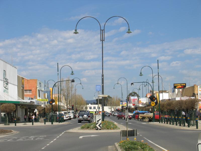
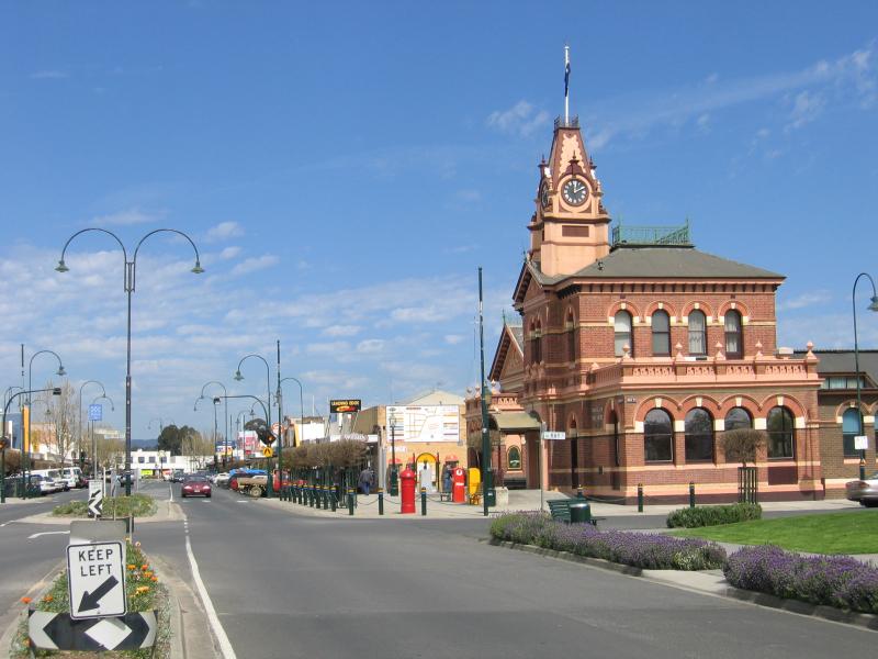
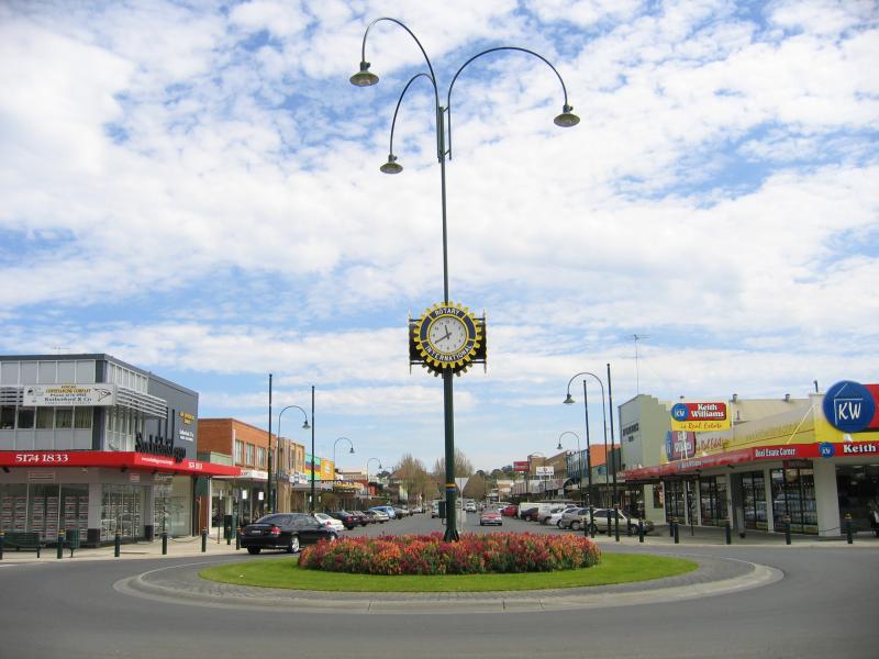
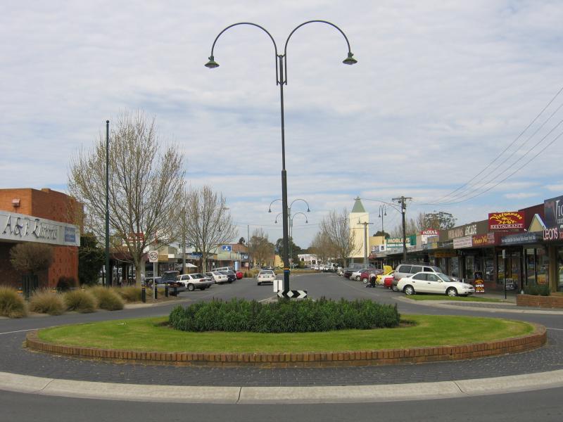
View south along Franklin St at Post Office Pl
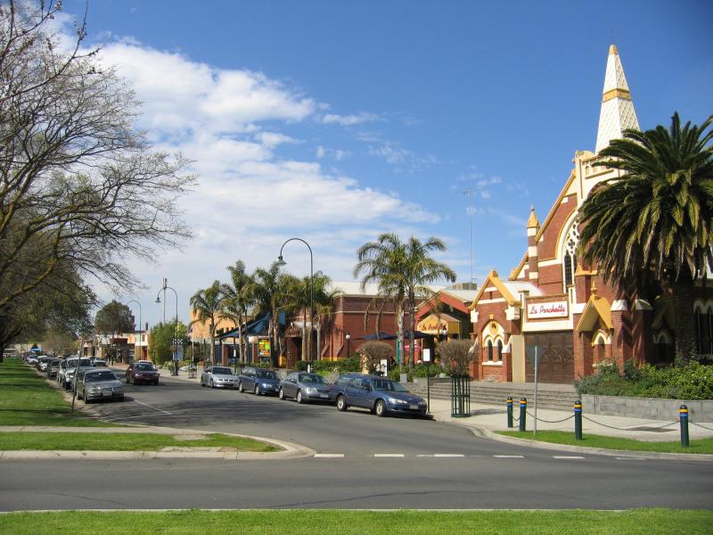
View south along Franklin St towards Seymour St
View west along Seymour St between Franklin St and Church St
View west along Seymour St between Mill St and Franklin St
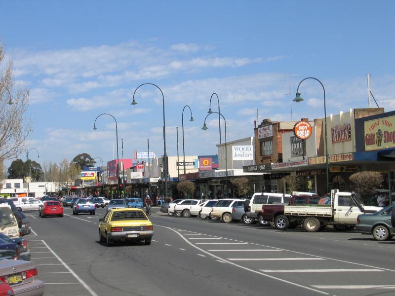
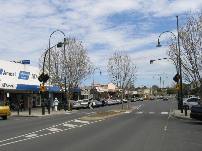
View south along Franklin St at Hotham St
View south along Franklin St at Hotham St
View west along Hotham St at Franklin St
View west along Hotham St at Franklin St
View west along Hotham St between Franklin St and Church St
View west along Hotham St between Franklin St and Church St
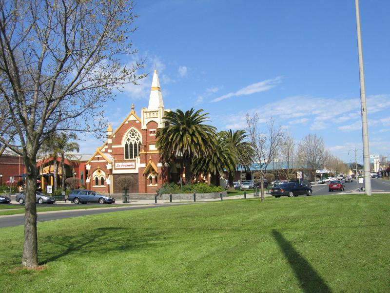
View south along Church St towards Hotham St
View south along Church St at Seymour St
View south along Church St at Kay St
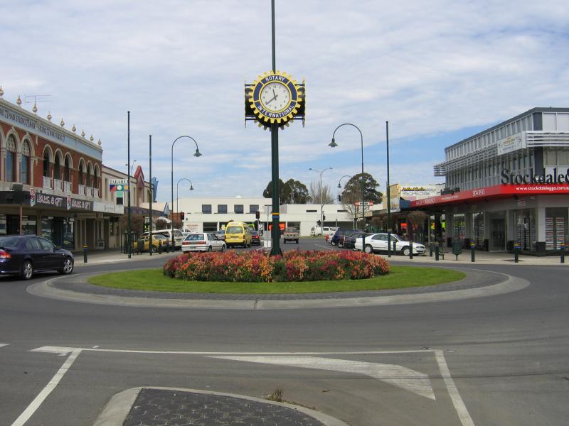
View east along Kay St towards Post Office and Franklin St
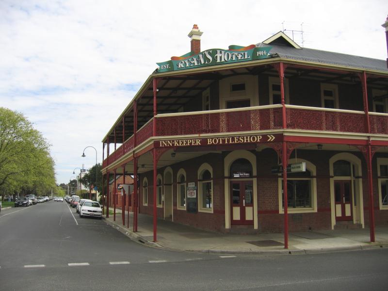
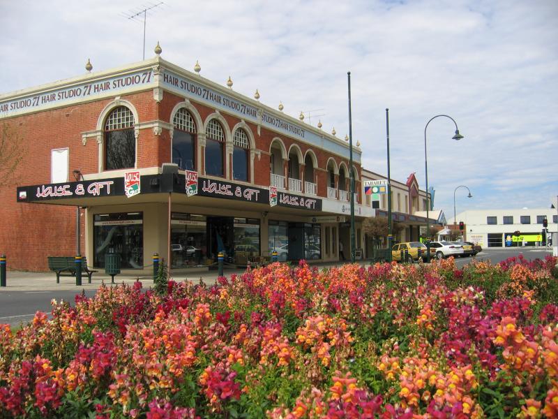
Ryan's Hotel, view west along Kay St at Franklin St
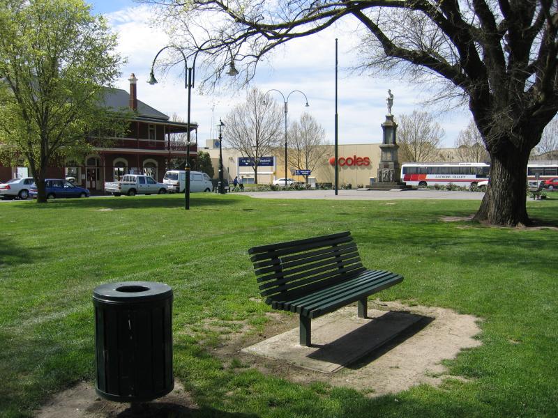
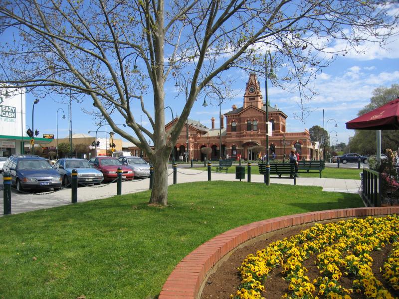
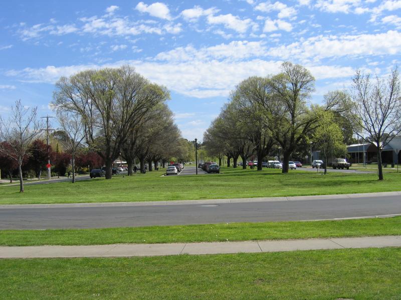
Gardens along centre of Kay St, view east towards Franklin St
View west along Kay St at Franklin St
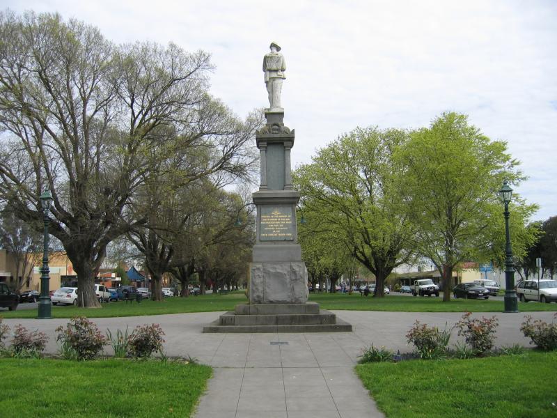
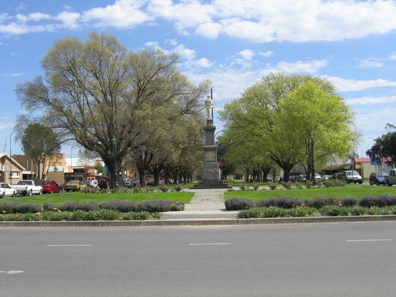
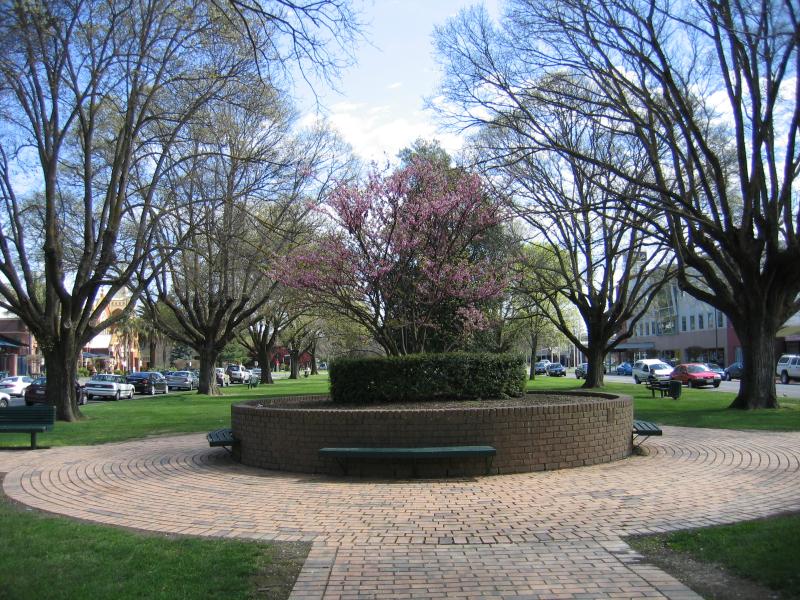
War memorial, centre of Kay St, view west
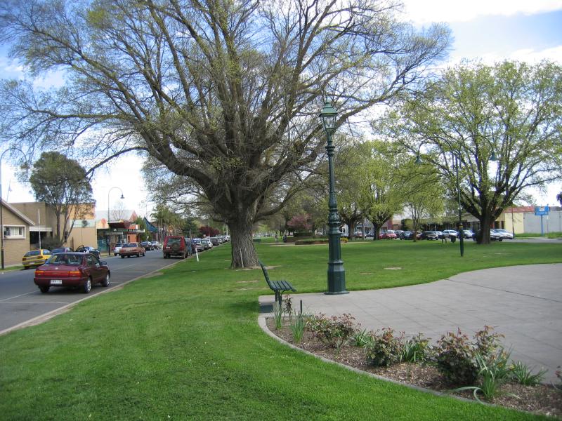
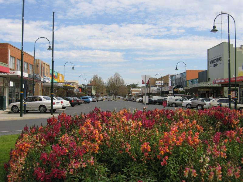
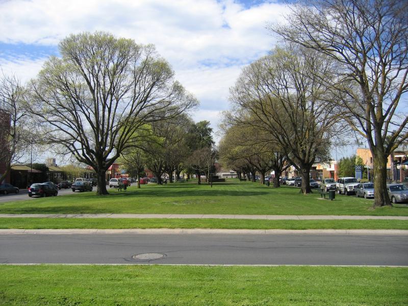
View west along gardens in centre of Kay St between Franklin St and Church St
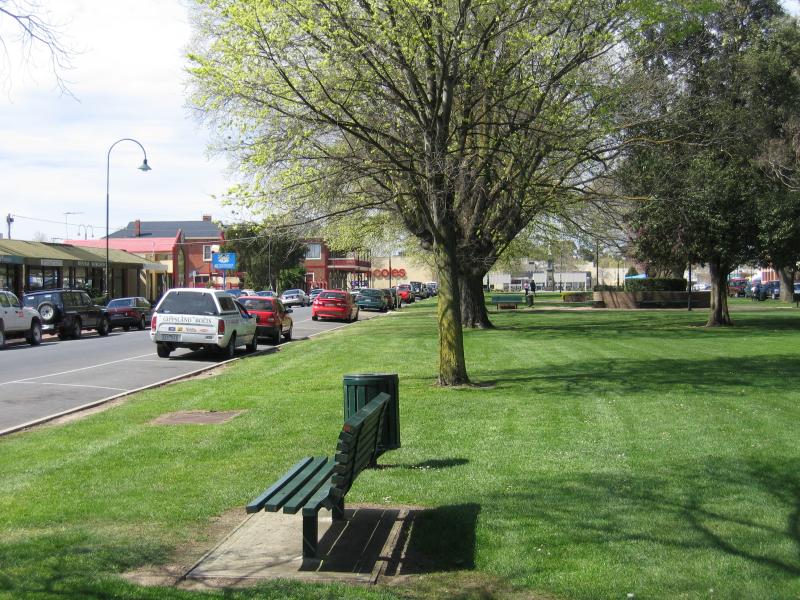
View east along gardens in centre of Kay St between Franklin St and Church St
View east along gardens in centre of Kay St between Franklin St and Church St
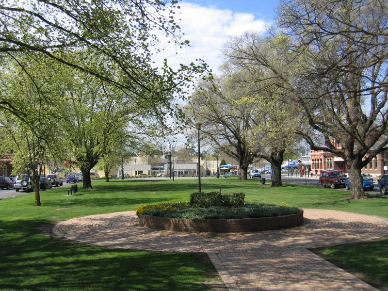
View west along gardens in centre of Kay St between Franklin St and Church St
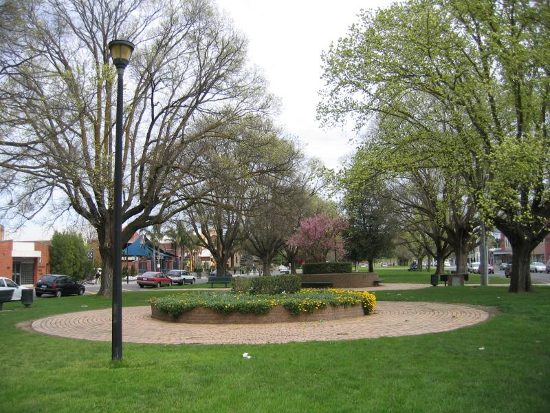
View west along gardens in centre of Kay St between Franklin St and Church St
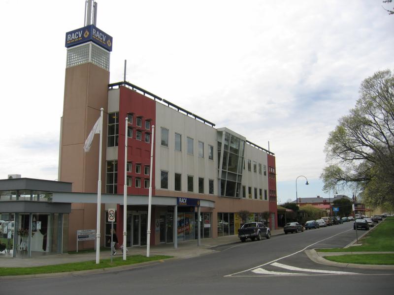
RACV building, view east along Kay St at Church St
View east along Kay St at Church St
View south along Church St from Kay St
View east along Kay St at Church St
View west along Kay St at Church St
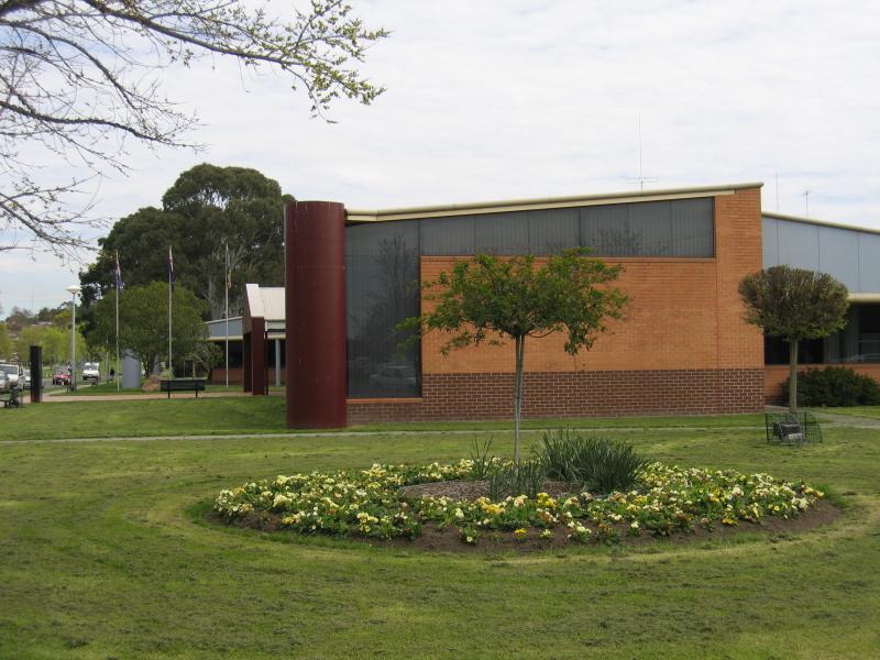
Latrobe City Council offices, corner Kay St and Church St
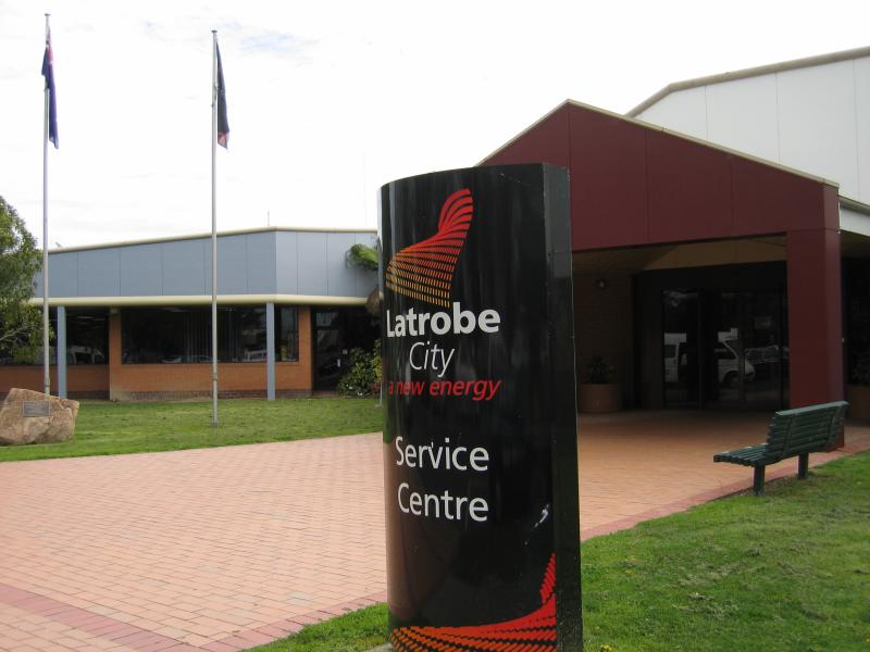
Latrobe City Council offices, Kay St entrance
View west along centre of Kay St near Clarke St
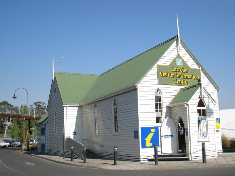
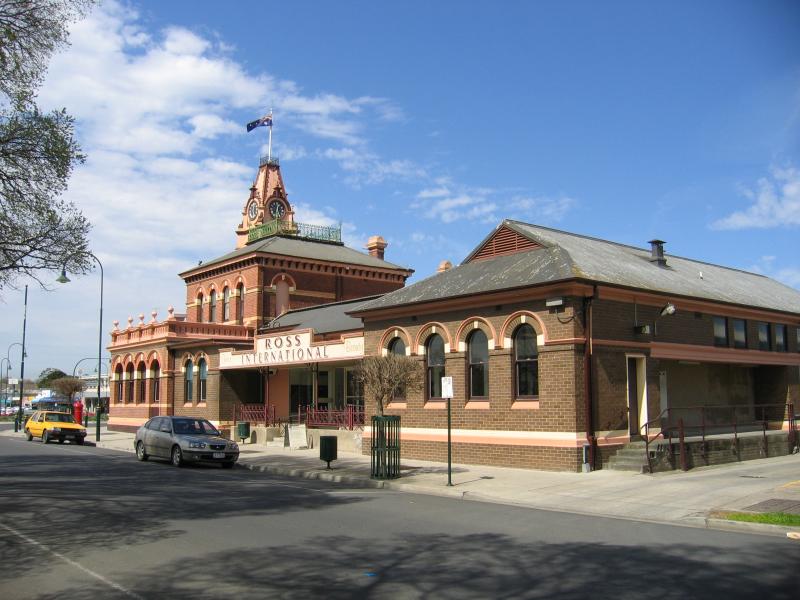
Latrobe Visitor Information Centre, next to railway station
View east along Princes Hwy in front of railway station
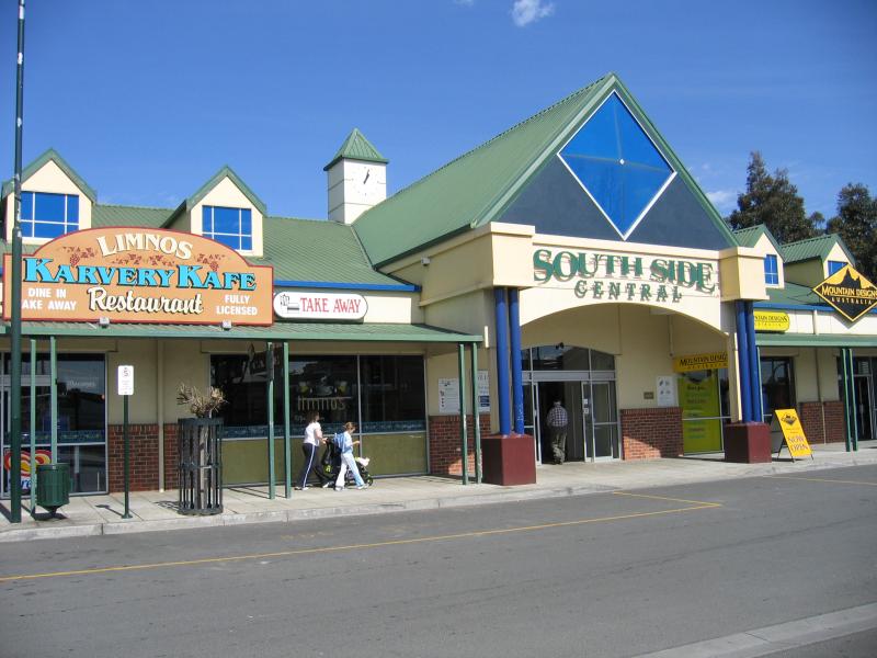
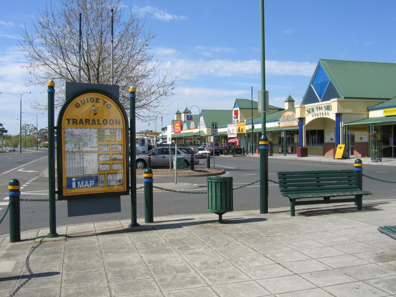
South Side Central Shopping Centre at railway station
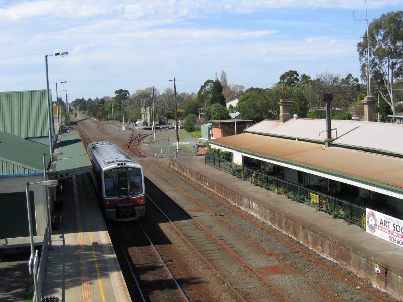
View east along railway line at Traralgon Station from footbridge
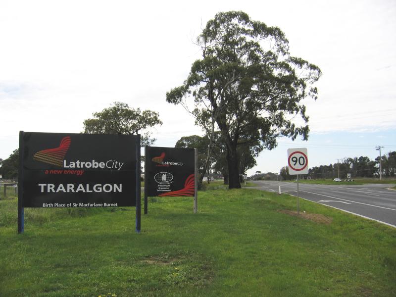
Welcome to Traralgon sign, view east along Princes Hwy towards Bradford Rd
View east along Princes Hwy towards Breed St
View east along Princes Hwy at Breed St
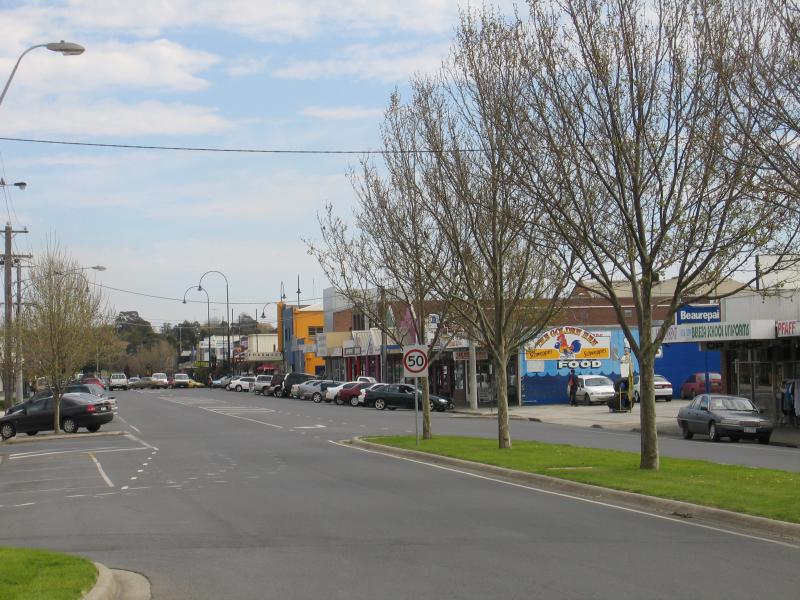
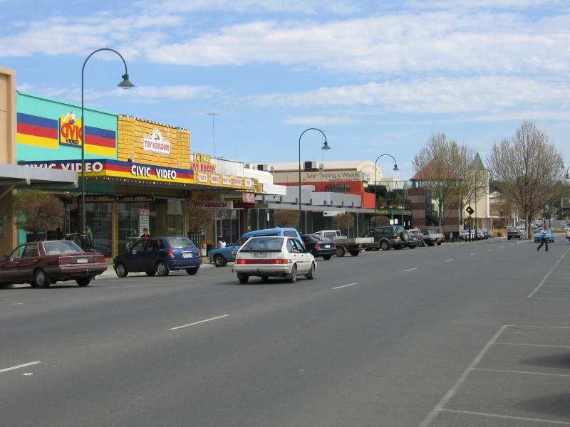
View west along Princes Hwy between Church St and Deakin St
View west along Princes Hwy towards Church St
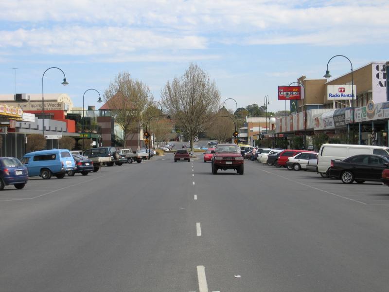
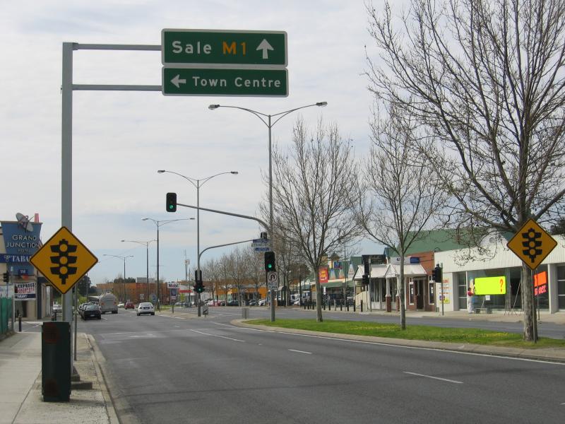
View east along Princes Hwy at Church St
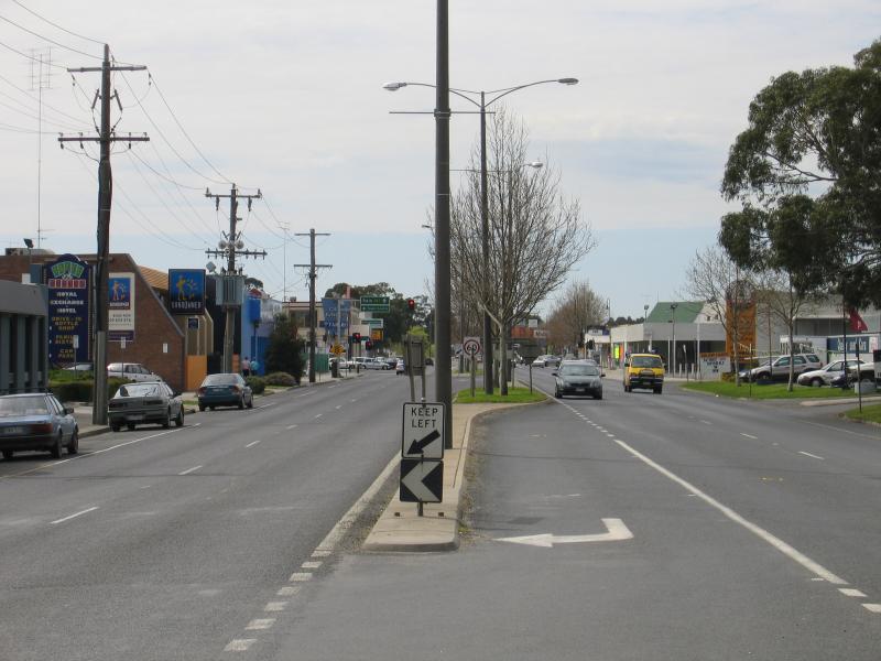
View east along Princes Hwy towards Franklin St
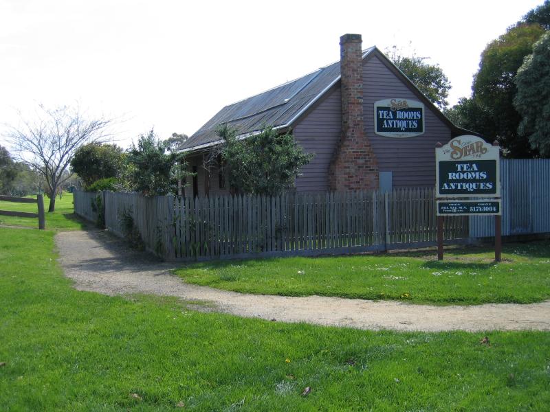
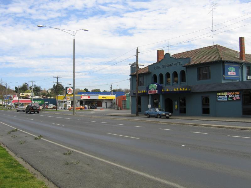
The old Star Hotel, Peterkin St at Princes Hwy
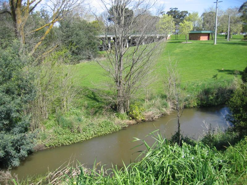
View south across Traralgon Creek towards Princes Hwy
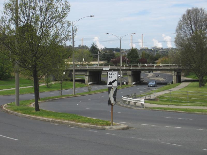
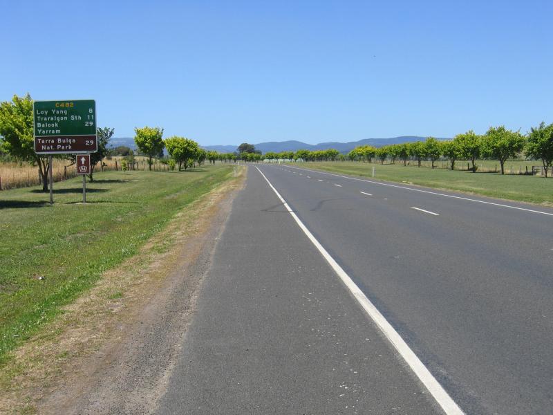
View south-east along Whittakers Rd under railway line with Loy Yang Power Station smoke stacks in background
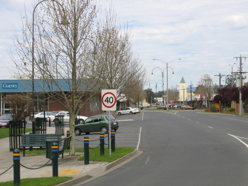
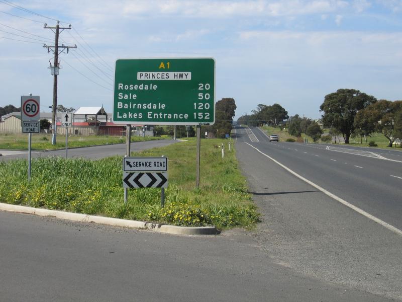
View west along Princes Hwy between Wren St and Riggall Rd
View west along Princes Hwy between Wren St and Riggall Rd
View east along Princes Hwy at Rocla Rd
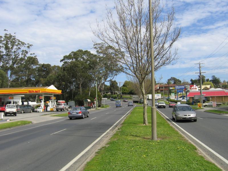
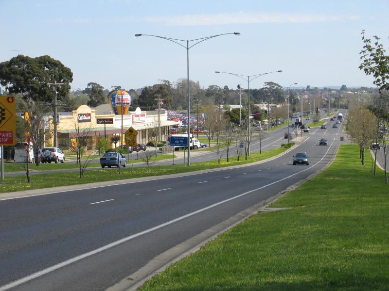
View south along Hyland Hwy, south of Shakespeare St
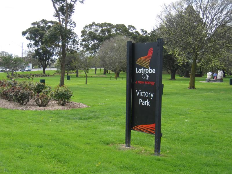
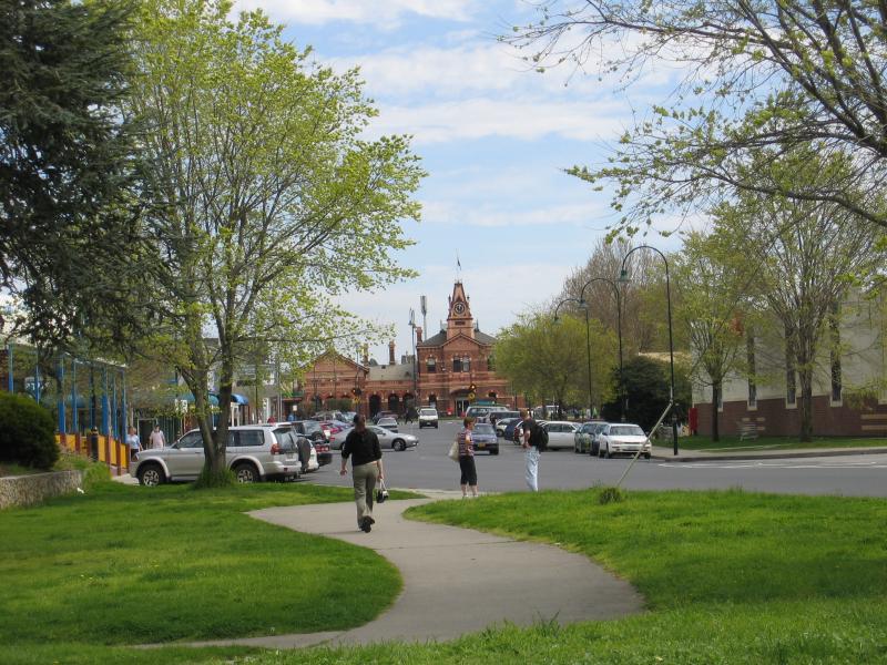
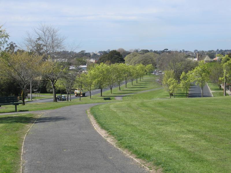
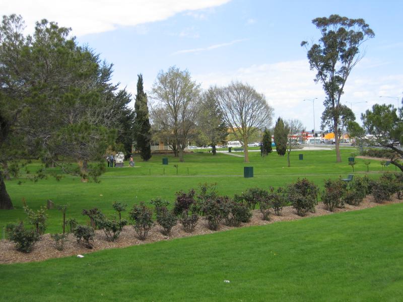
Victory Park
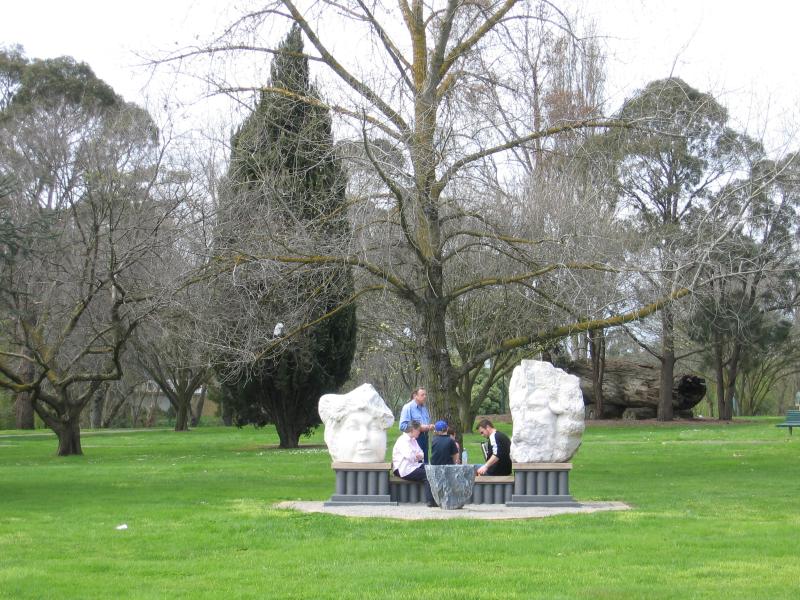
Victory Park
Roses
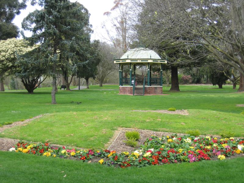
Rotunda
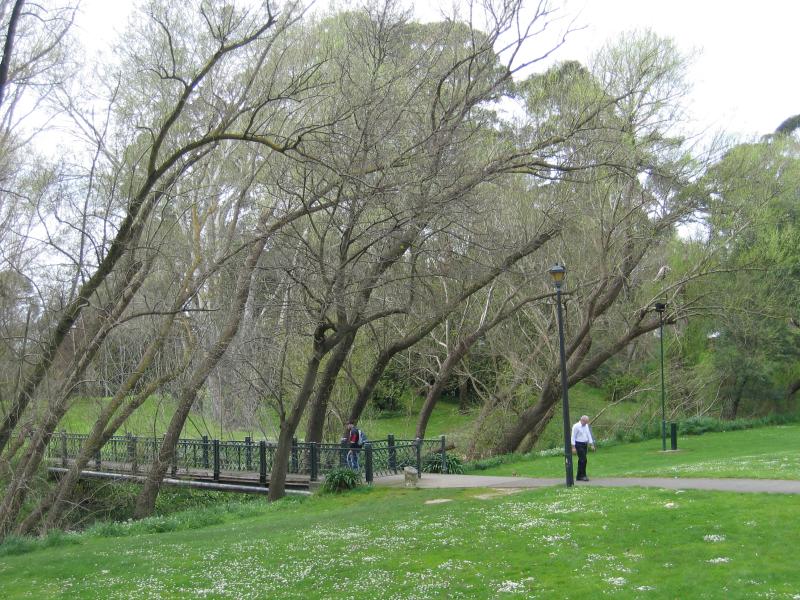
Bridge over Traralgon Creek
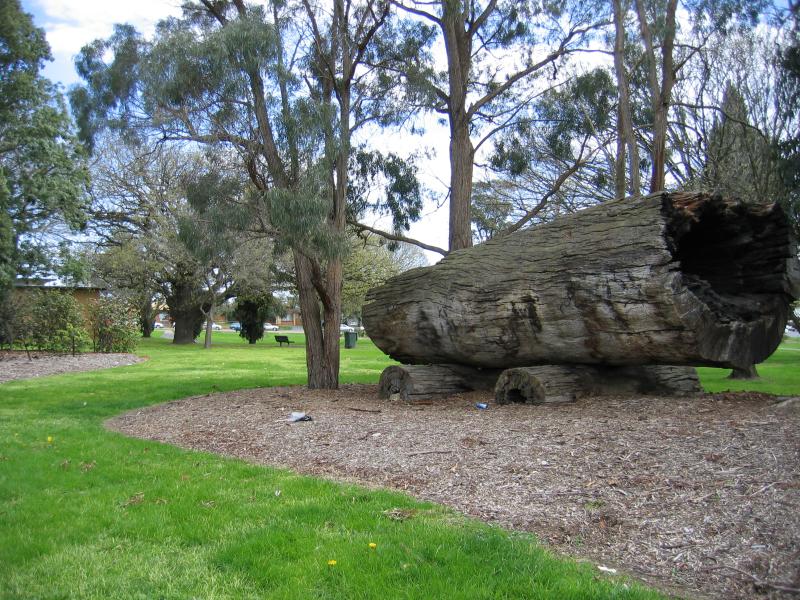
Log monument
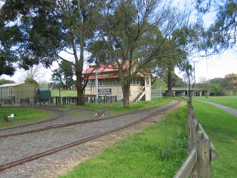
Miniature railway
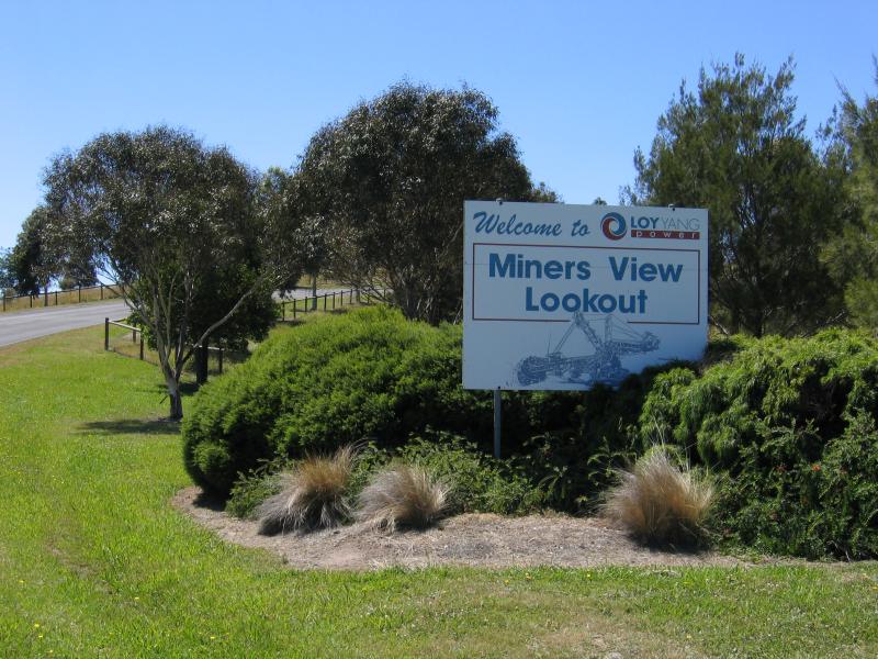
Entrance to Miners View Lookout, Hyland Hwy
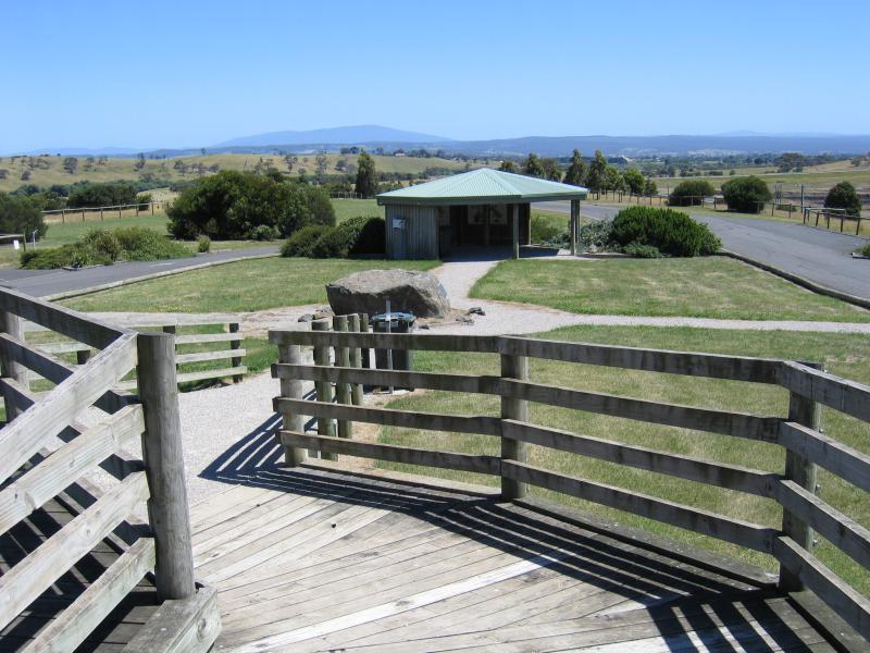
Car park and information shelter at Miners View Lookout
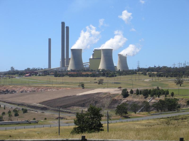
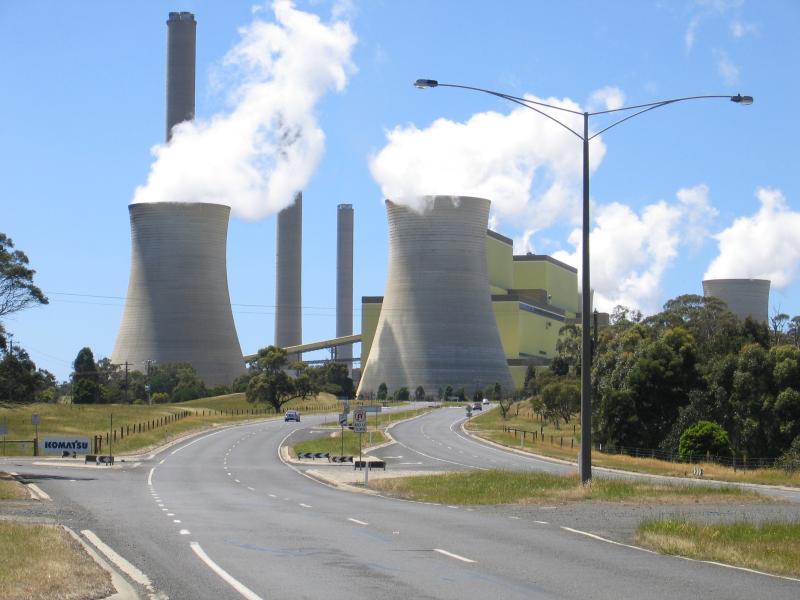
View of Loy Yang Power Station from Miners View Lookout
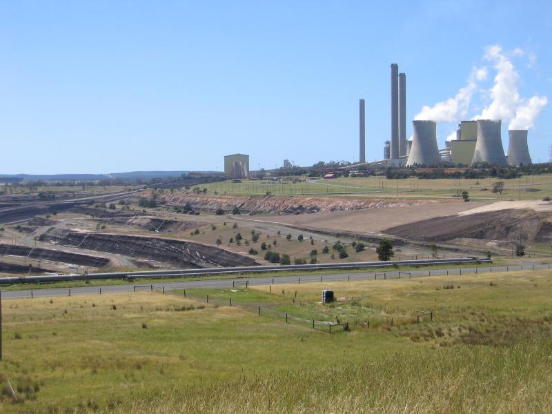
View of Loy Yang Power Station from Miners View Lookout
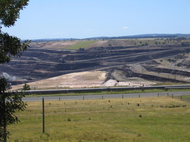
View of open cut coal mine from Miners View Lookout
View south along Hyland Hwy towards Morwell Rd
View east along Hyland Hwy towards Loy Yang Power Station
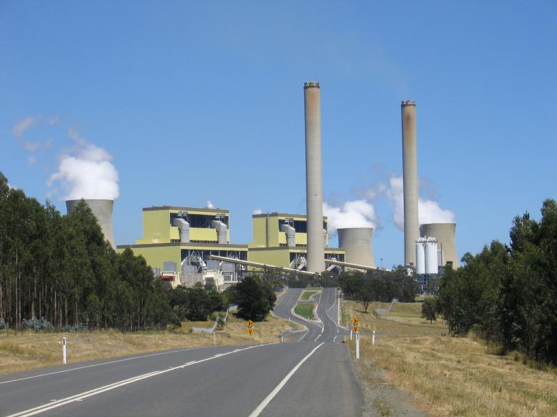
View west along Hyland Hwy towards Loy Yang Power Station