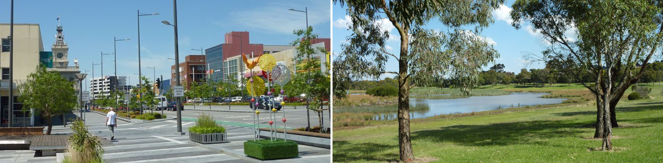
Dandenong - photos
Dandenong
Stay
See and do
Food and drink
Shopping
Getting around
Visitor information
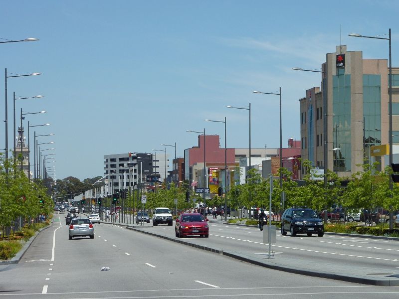
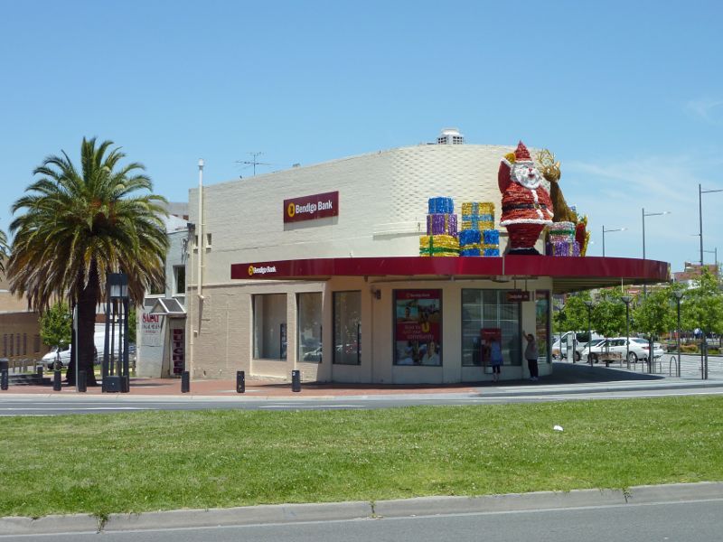
View south along Lonsdale St at Foster St
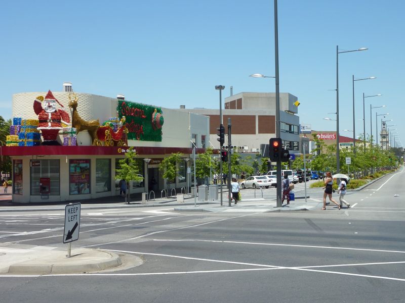
View north along Lonsdale St at Foster St
View south along Lonsdale St towards Foster St
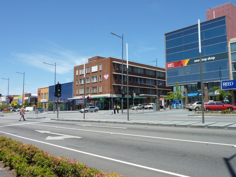
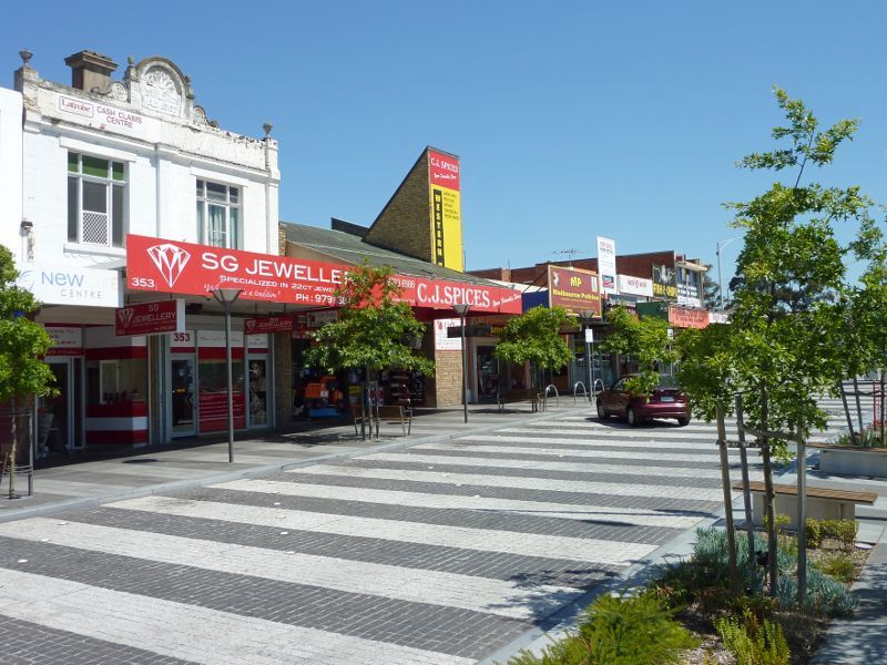
Shops along west side of Lonsdale St north of Foster St
Shops along west side of Lonsdale St north of Foster St
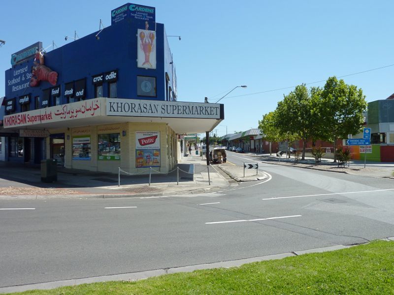
View north along Lonsdale St towards Walker St
West side of Lonsdale St at Walker St
View west across Lonsdale St at Walker St
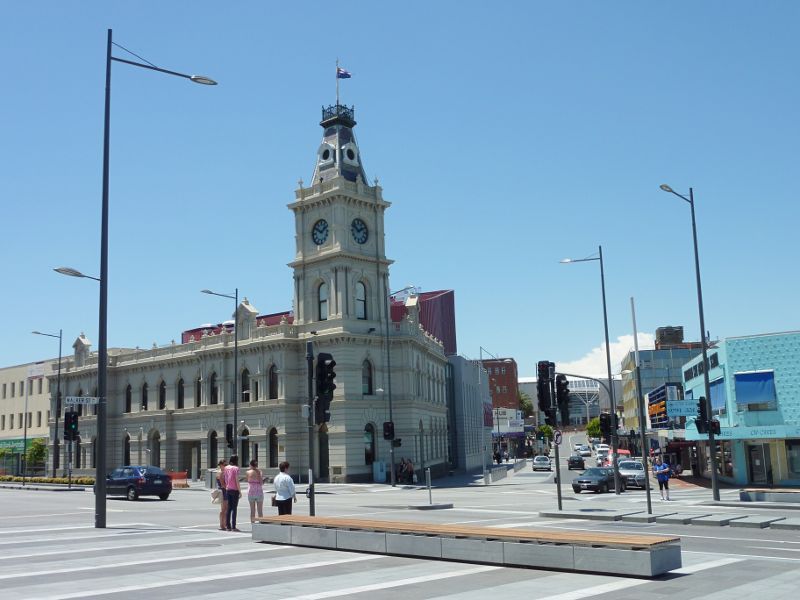
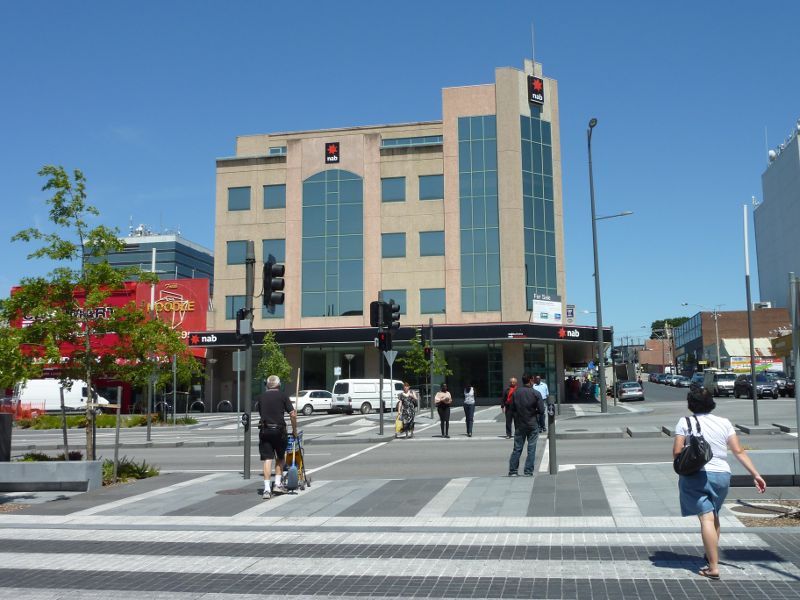
View east across Lonsdale St at Walker St and towards town hall

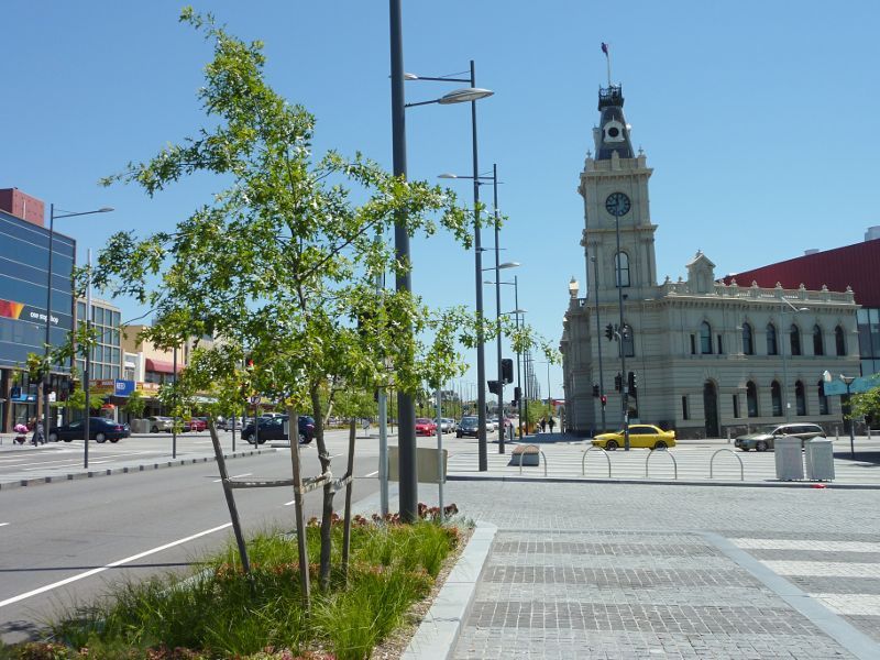
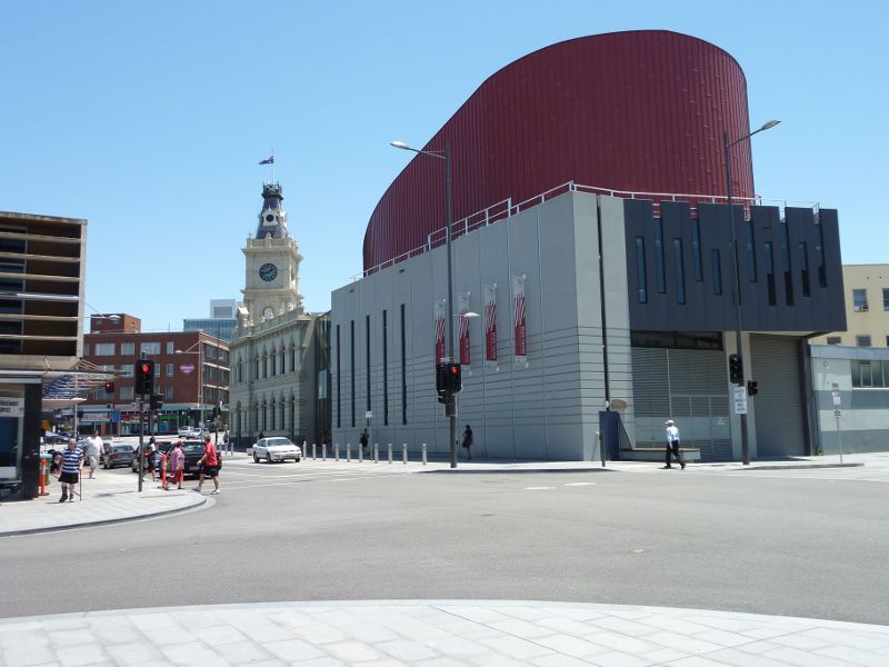
Dandenong Town Hall, Lonsdale St at Walker St
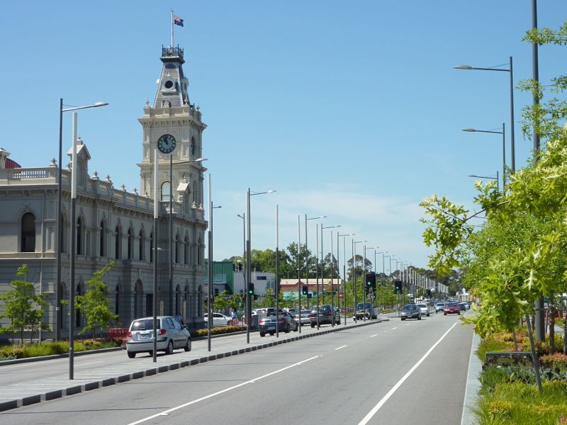
View south along Lonsdale St towards town hall and Walker St
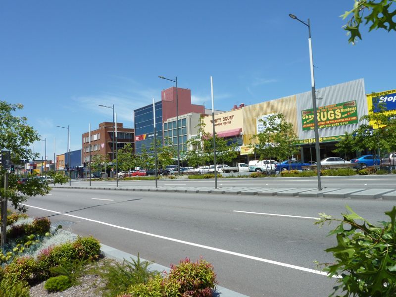
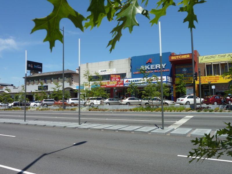
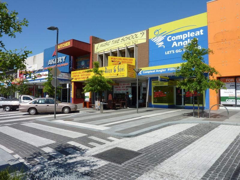
Shops along west side of Lonsdale St north of Walker St
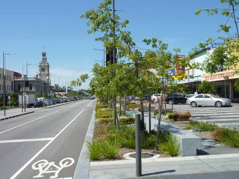
View north along Lonsdale St north of Walker St
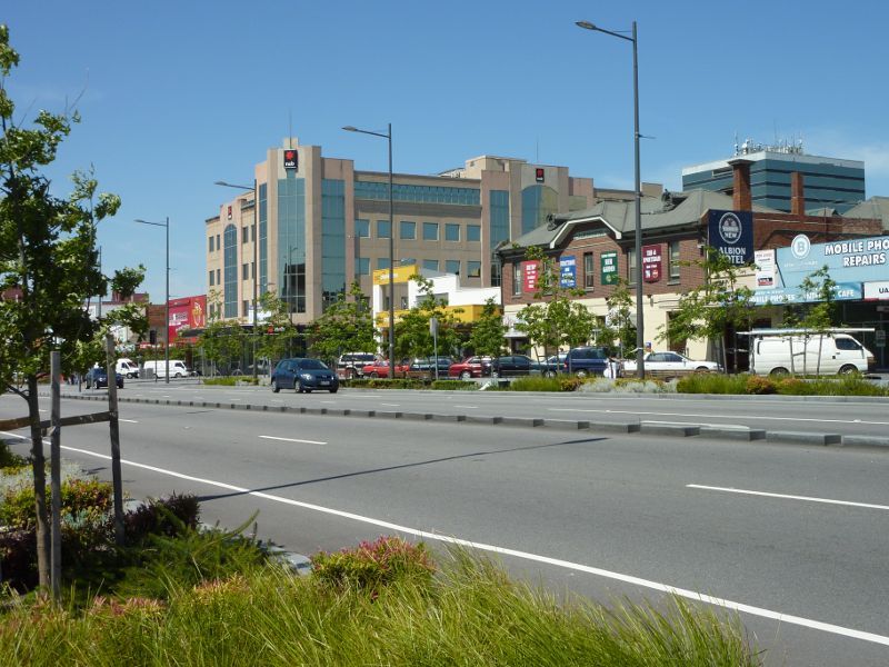
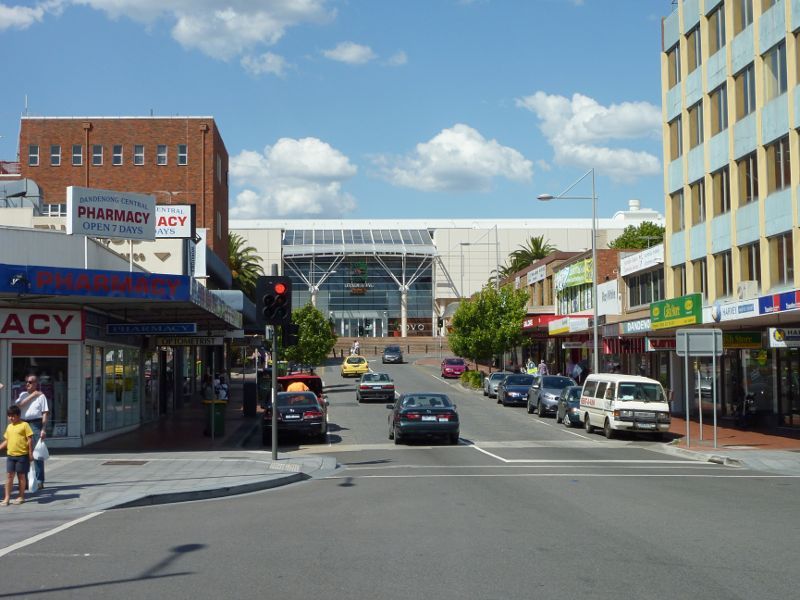
View south along Lonsdale St south of Scott St

View north along Lonsdale St towards Scott St
View south along Lonsdale St towards Langhorne St
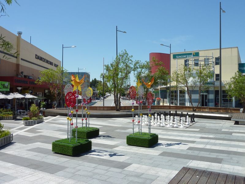
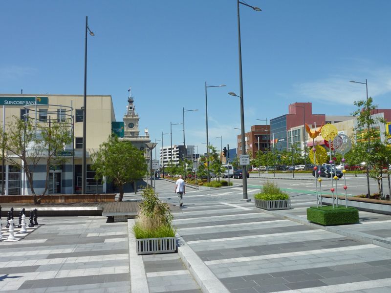
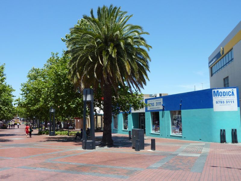
Public square at junction of Lonsdale St and Langhorne St
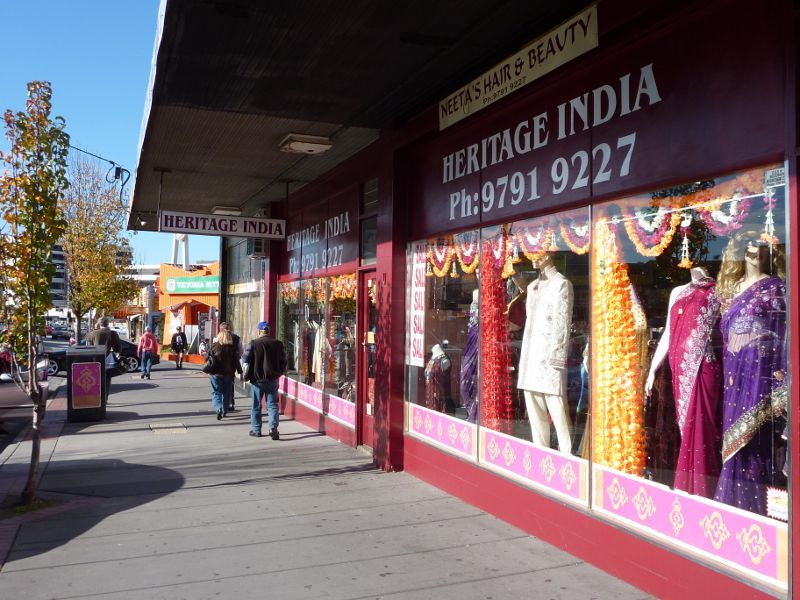
Shops along eastern side of Lonsdale St at Langhorne St
View east across Lonsdale St just north of Langhorne St
View west across Lonsdale St just north of Langhorne St
View west across Lonsdale St north of Langhorne St
View west across Lonsdale St at Scott St
View south along Lonsdale St towards Scott St
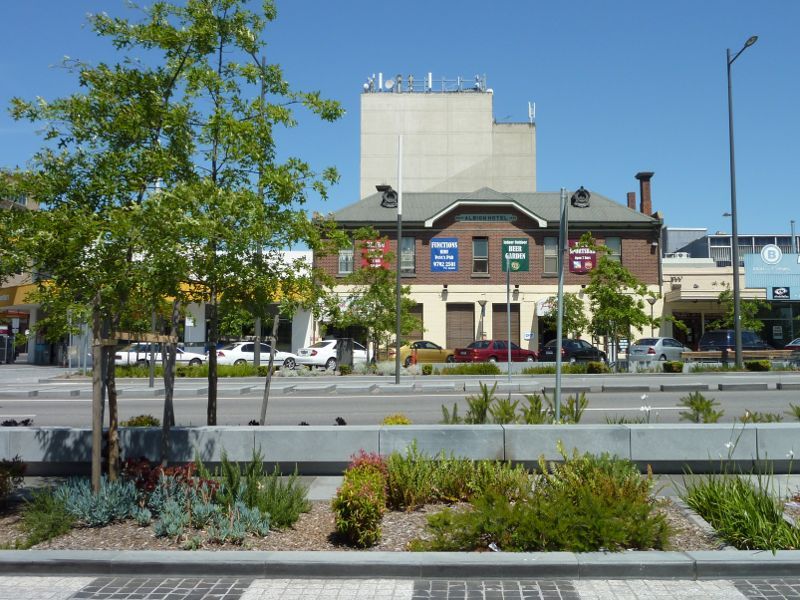
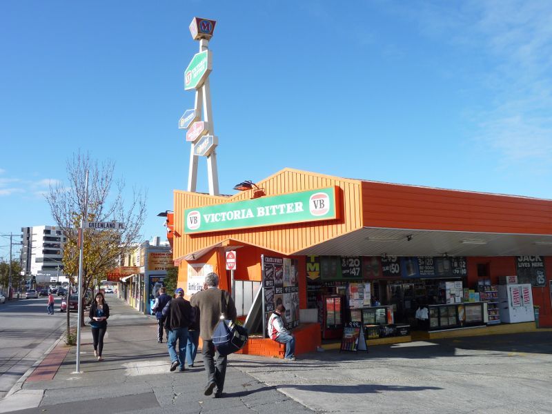
View west across Lonsdale St towards Albion Hotel
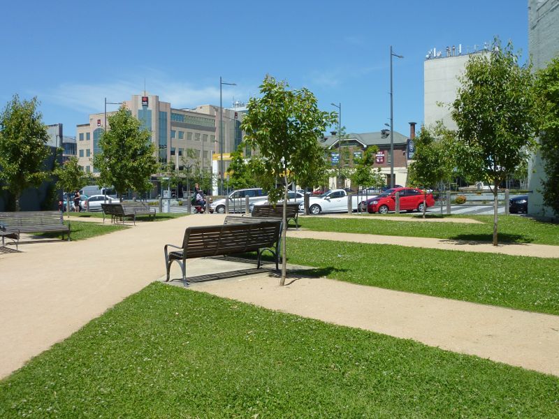
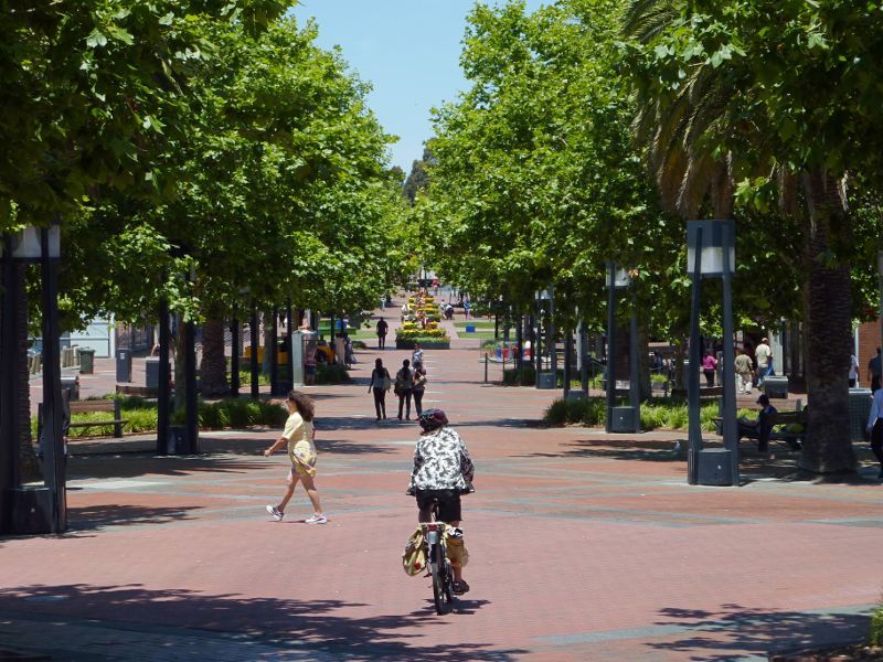
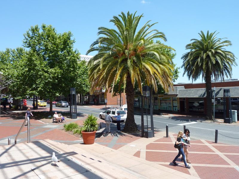
Westerly view through park linking Lonsdale St and Palm Plaza
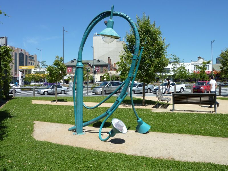
'The Utilitarian' fallen lamp sculpture in park linking Lonsdale St and Palm Plaza
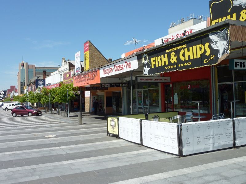
Shops long west side of Lonsdale St south of Clow St
View south along west side of Lonsdale St at Clow St
View south along Lonsdale St at Clow St
View south along eastern side of Lonsdale St at Clow St
View south at junction of Clow St and Lonsdale St
View north at junction of Lonsdale St, Clow St and Cleeland St
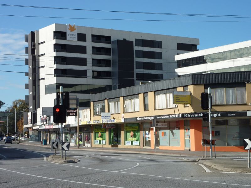
View south-east along Langhorne St at Dandenong Hub Arcade towards Walker St
Drum Theatre, corner Langhorne St and Walker St
View north-east along Walker St at Langhorne St

Corner of Walker St and Langhorne St

View south-west along Walker St at McCrae St
View south-east towards Palm Plaza from Clow St
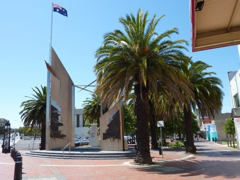
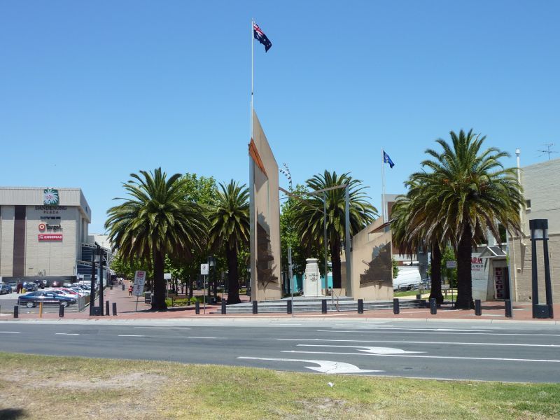
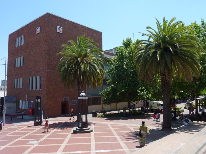
War memorial at northern end of Palm Plaza at Clow St
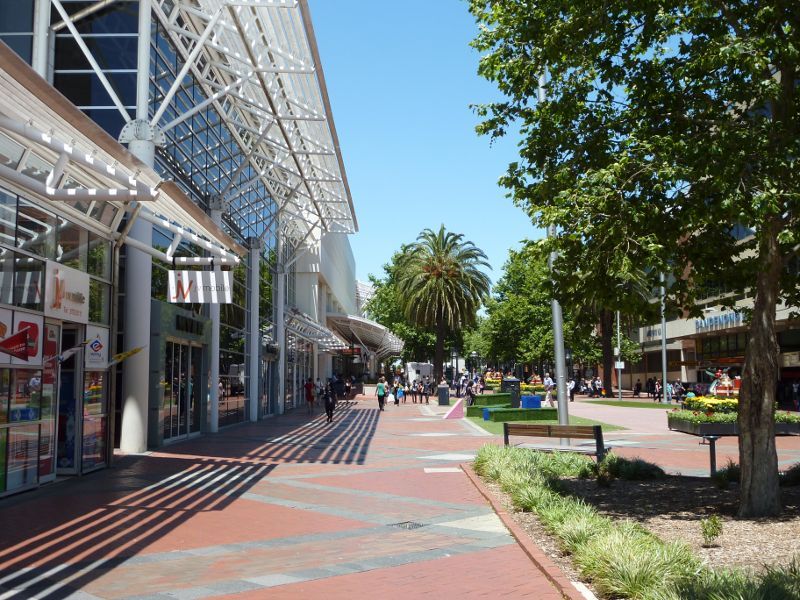
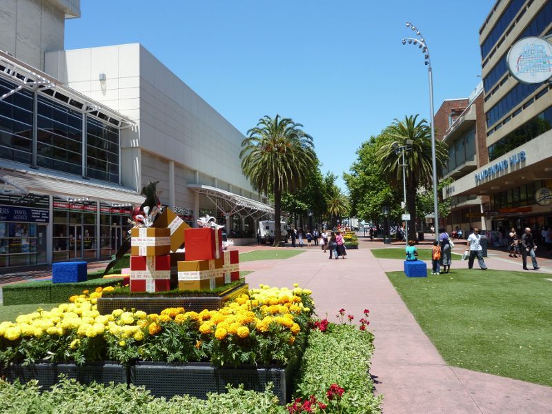
View south-east along Palm Plaza from northern end
View south-east along Palm Plaza
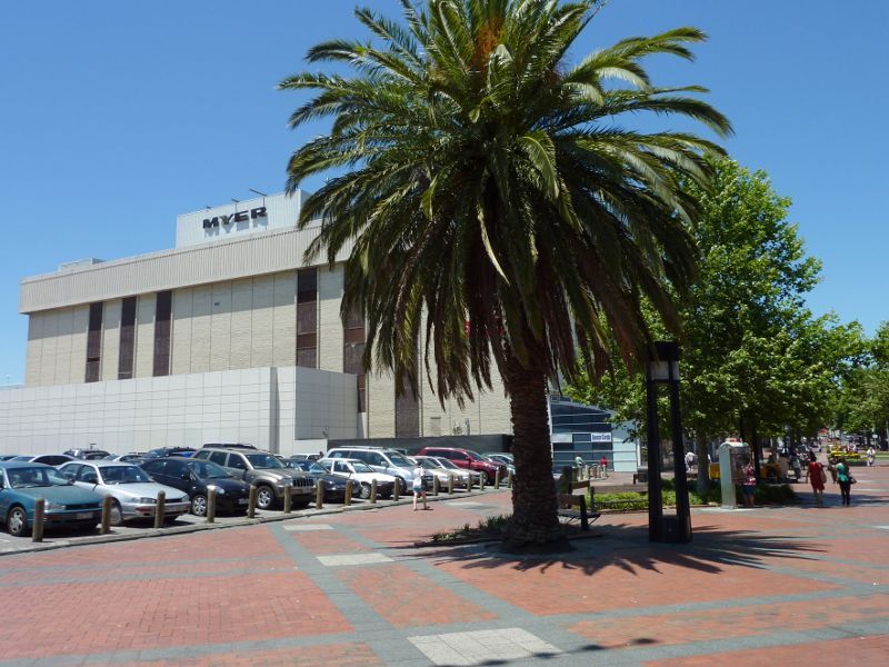
View south-east along Palm Plaza towards Myer
Shops along Palm Plaza next to Myer
View south-east along Palm Plaza
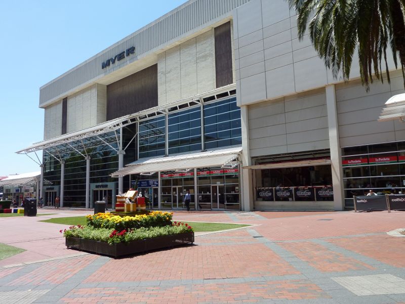
North-westerly view through Palm Plaza towards Myer
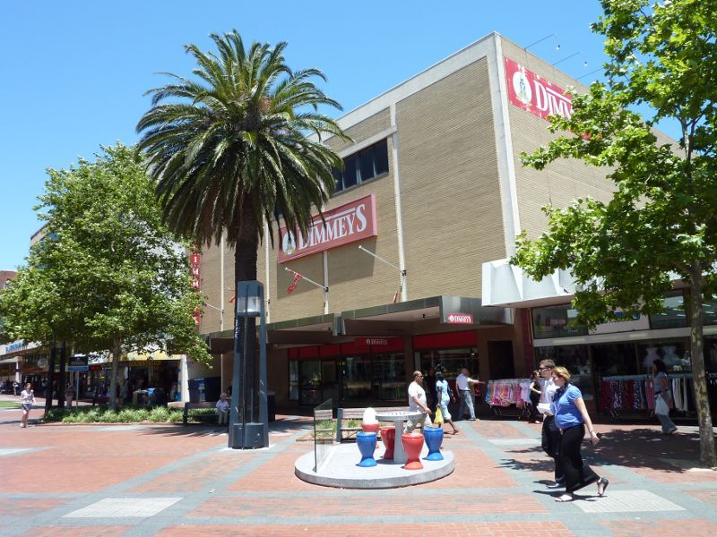
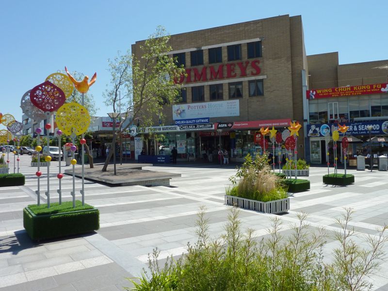
View south-east along Palm Plaza towards Dimmeys
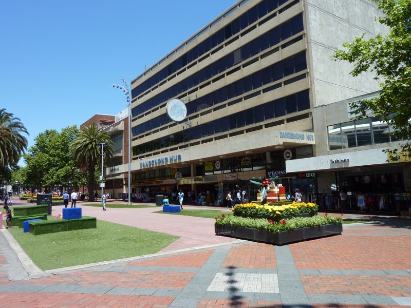
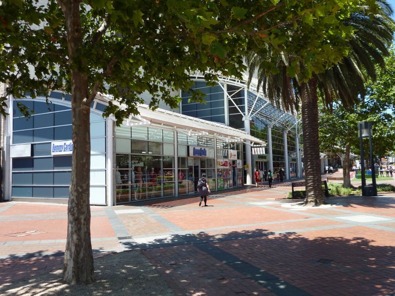
View south-east along Palm Plaza towards Dandenong Hub Arcade
South-easterly view through Palm Plaza
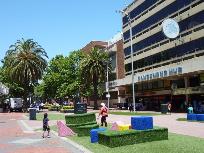
South-easterly view through Palm Plaza in front of Dandenong Hub Arcade
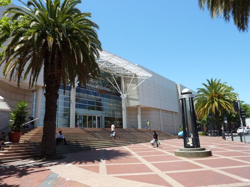
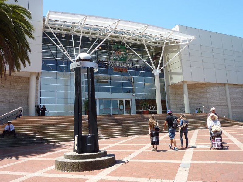
South-easterly view along Palm Plaza towards Dandenong Plaza entrance
View across Plaza towards telephone exchange at Walker St
View south-east along McCrae St at Walker St
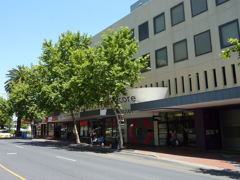
View south-east along McCrae St towards Encore Hotel
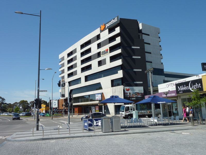
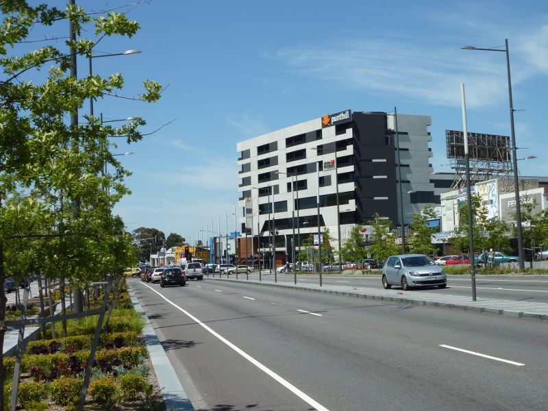
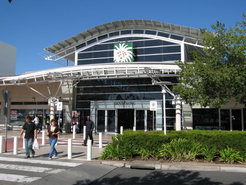
Entrance to shopping centre, northern end of Walker St
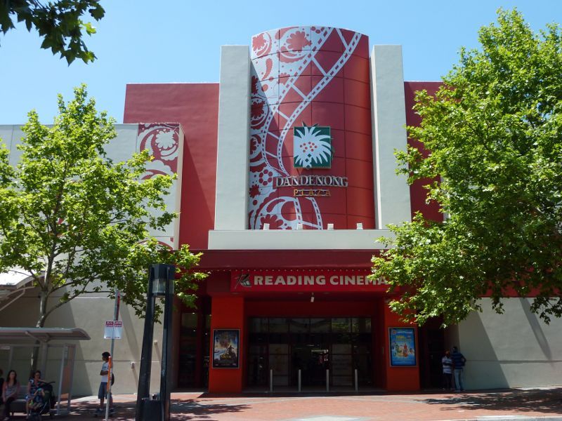
Reading Cinema entrance fronting McCrae St
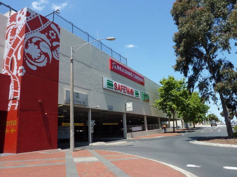
View south-east along McCrae St at underground car park entrance
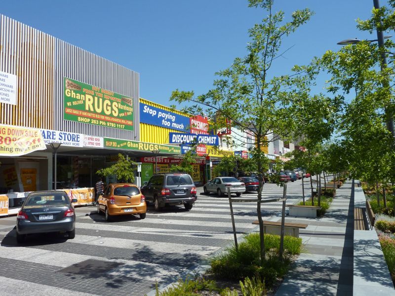
Entrance to shopping centre off Foster St
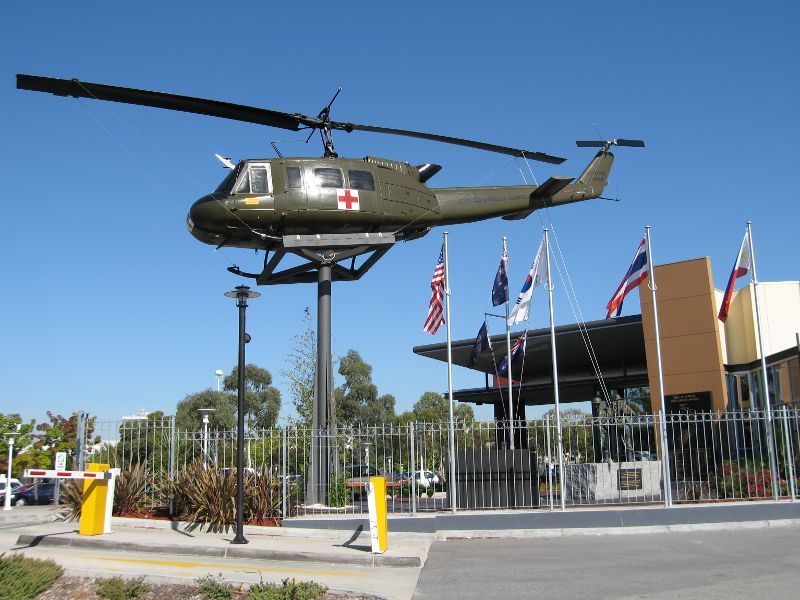
Dandenong R.S.L. viewed from car park off Foster St
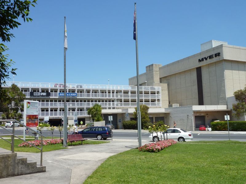
View south across Clow St towards multi-level car park and Myer
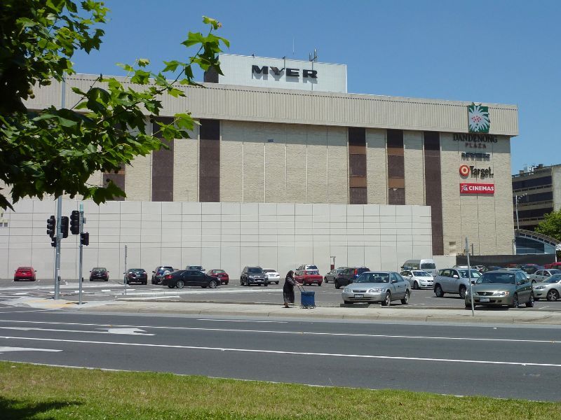
View south across Clow St towards Myer
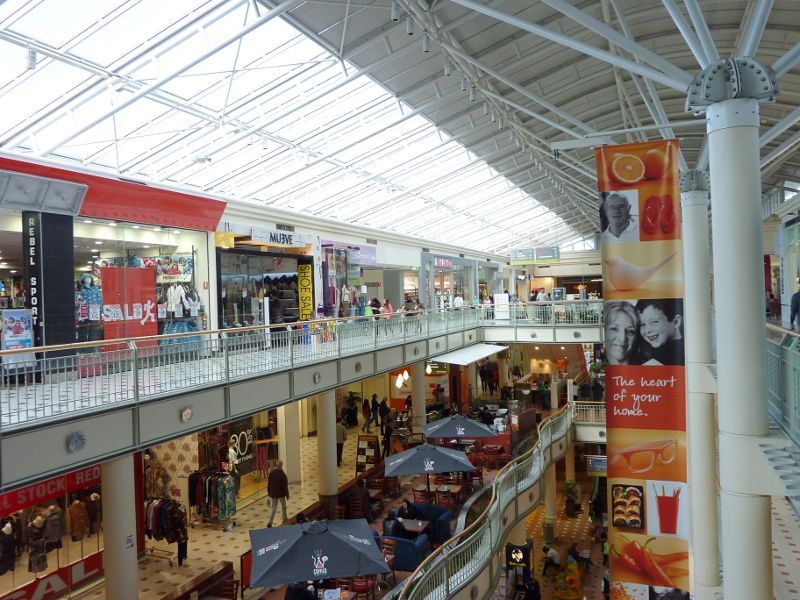
Inside shopping centre

View east along Foster St at Stockman's Bridge (George St)
Pop-Up Park, Foster St at Settlers Square
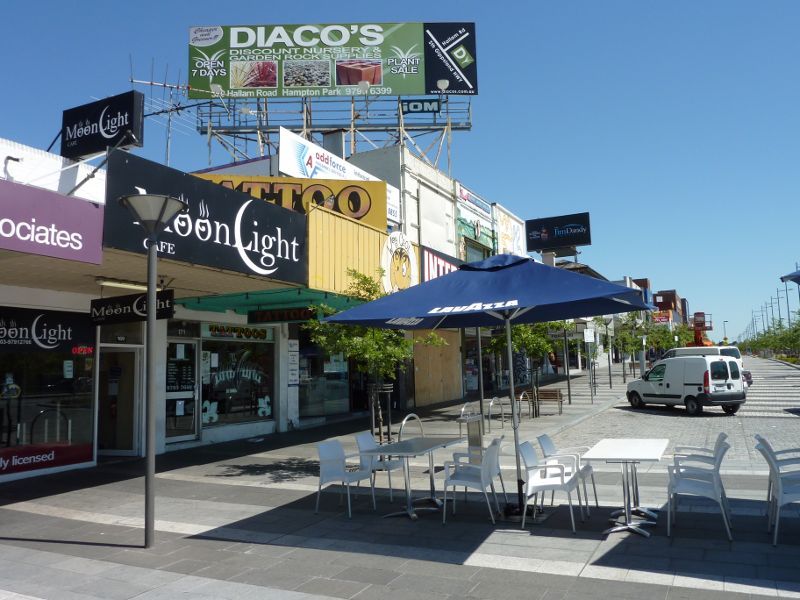
Shops along southern side of Foster St west of Mason St
Shops along southern side of Foster St west of Mason St
View east along Foster St at Mason St
View east along Foster St at Thomas St

Dandenong Law Courts Complex, corner Foster St and Pultney St
View south-west along Foster St towards Pultney St
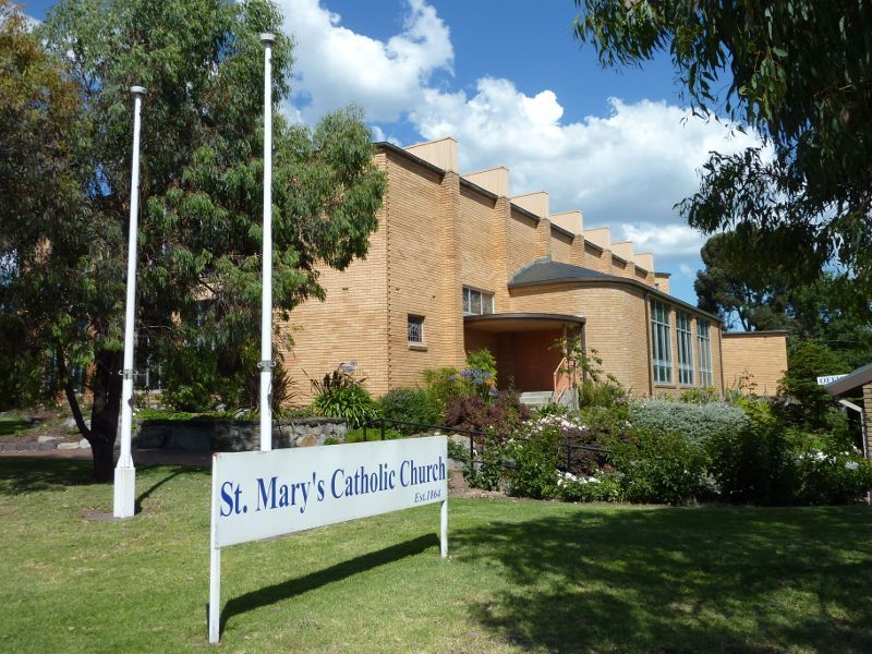
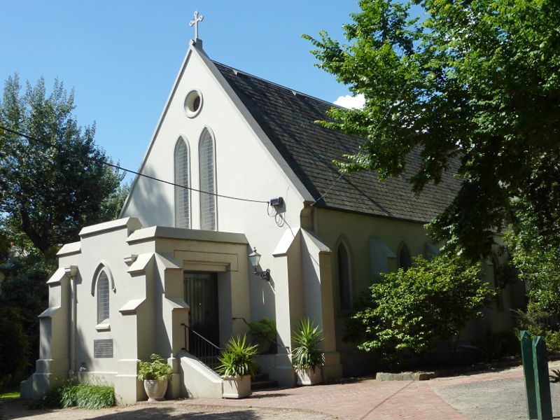
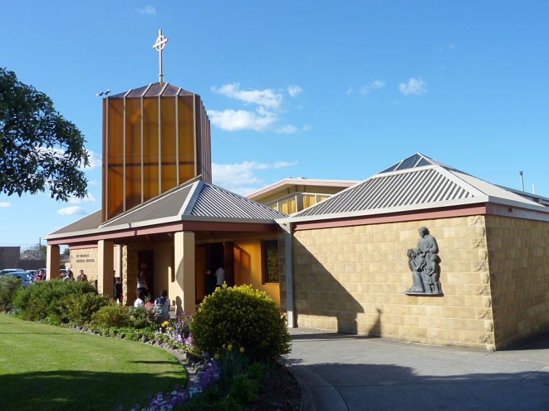
St Marys Church, Foster St near McCrae St
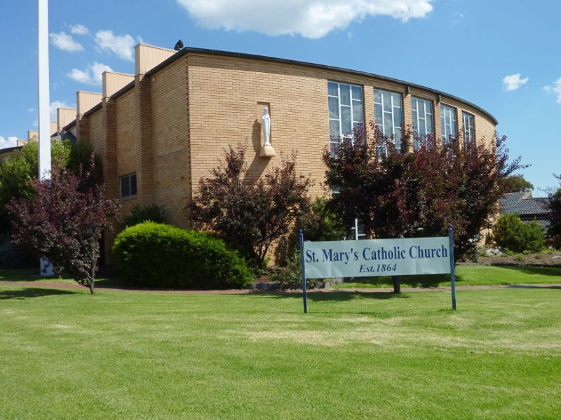
St Marys Church, Foster St near McCrae St
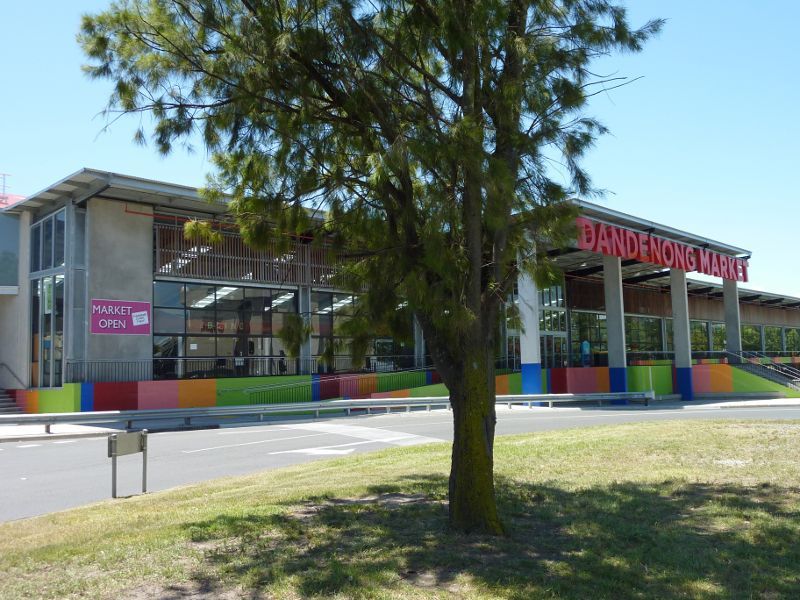
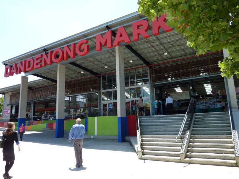
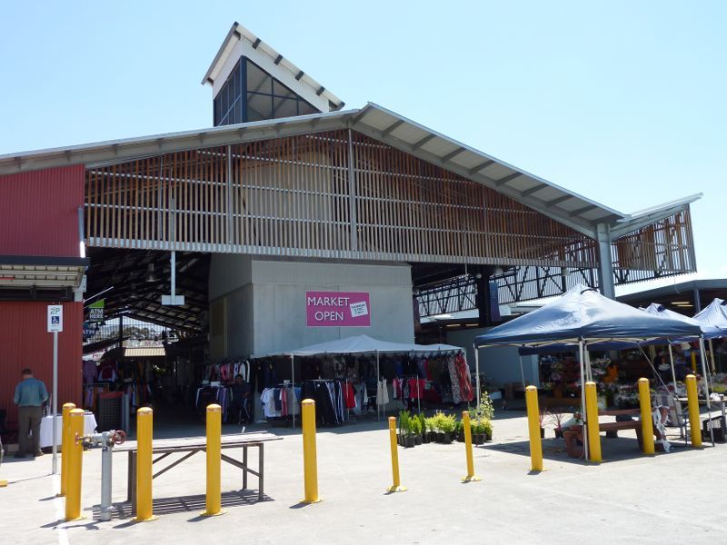
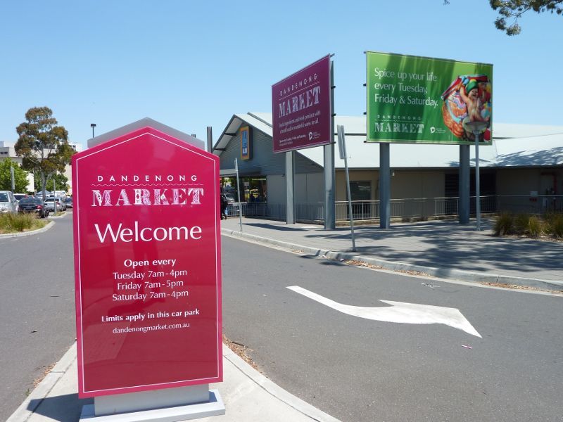
Main entrance to market viewed from Clow St
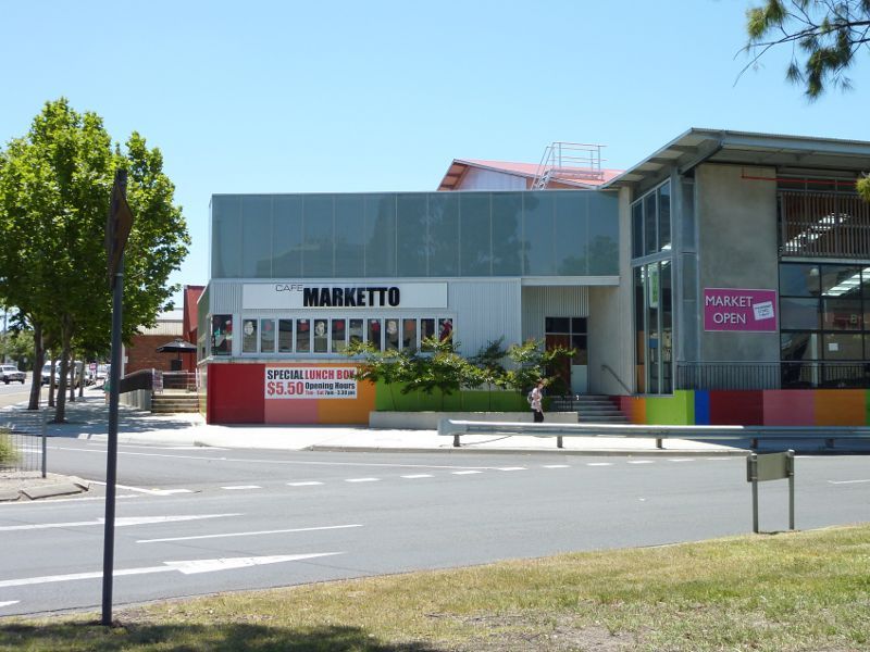
Cafe Marketto, corner Clow St and Cleeland St
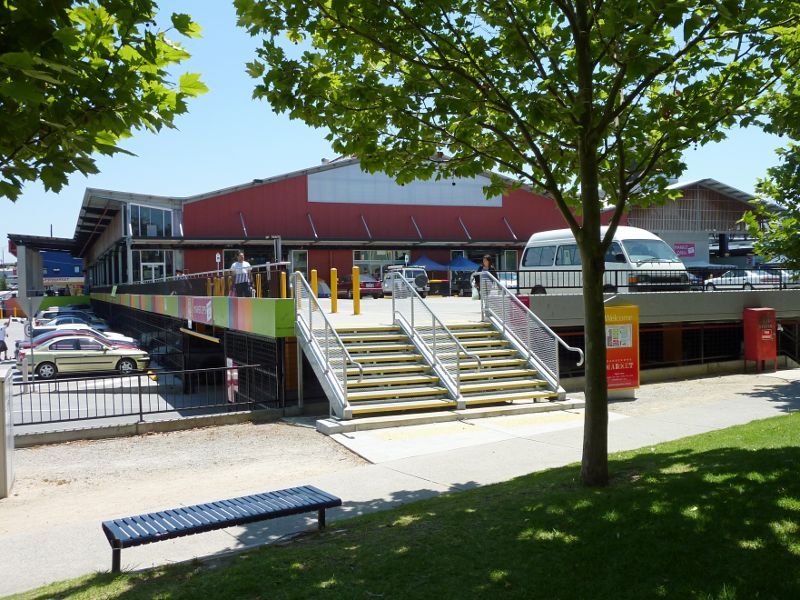
Steps at main entrance to market
Main entrance to market
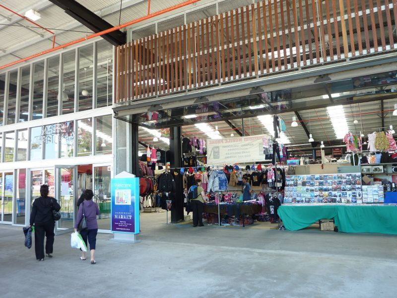
Market stalls overlooking car park
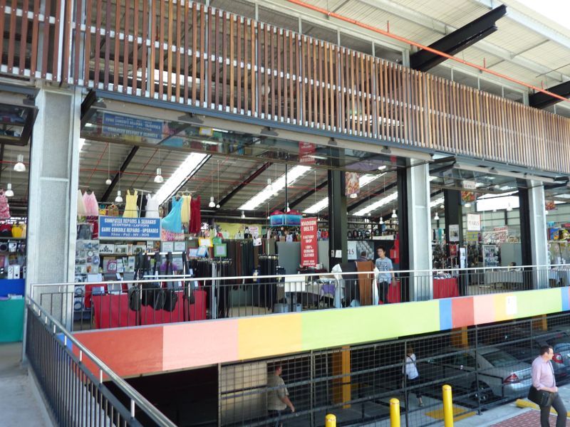
Eastern side of market
Eastern entrance to market
Entrance to car park off King St
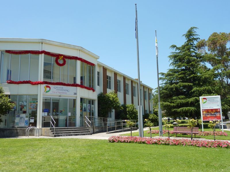
Main entrance to city offices facing Clow St
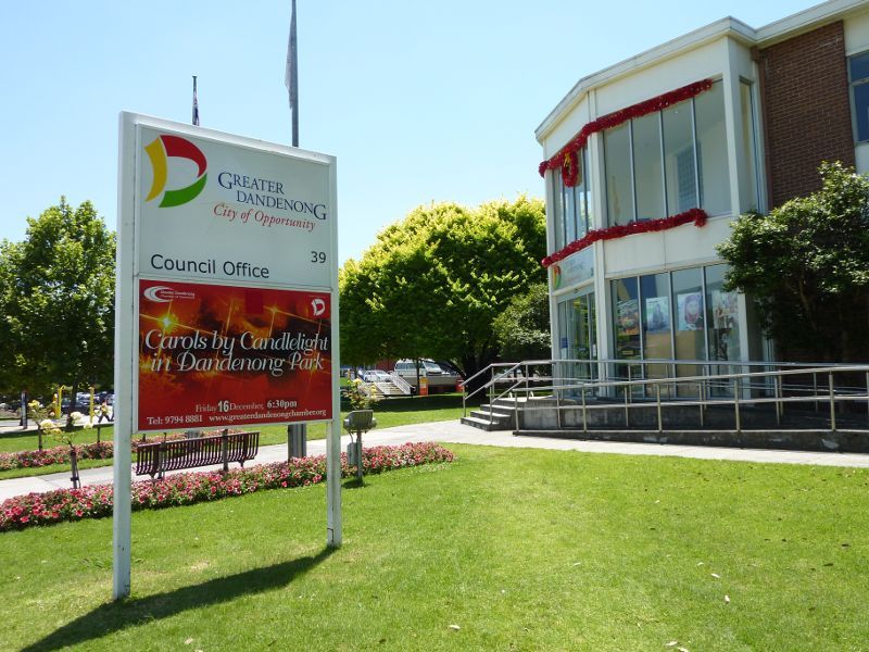
Main entrance to city offices
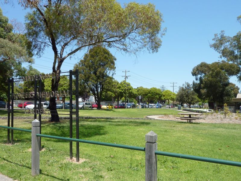
Gardens at office at corner of Clow St and Stuart St
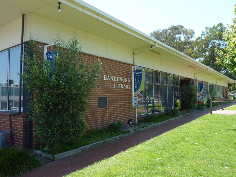
Library fronting Stuart St
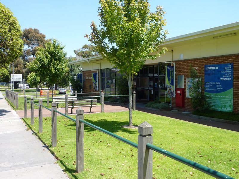
Pathway in front of library along Stuart St
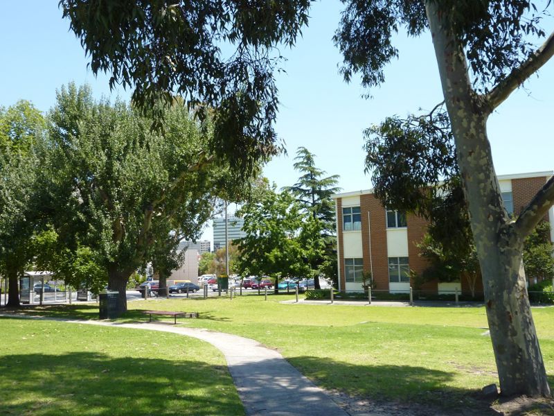
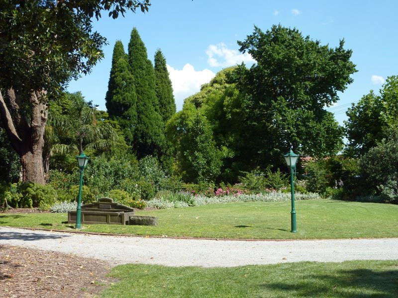
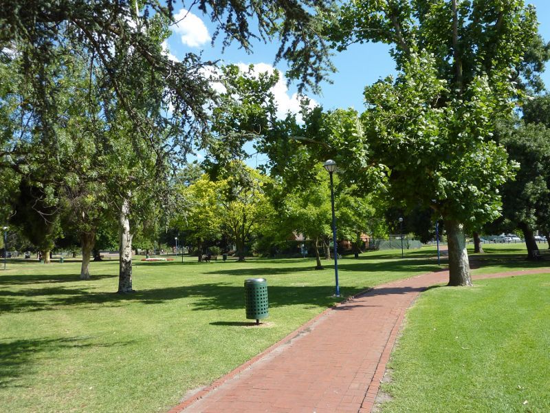
Southerly view through gardens from King St
Southerly view through gardens
View through gardens towards library
Westerly view through gardens towards Dandenong Market
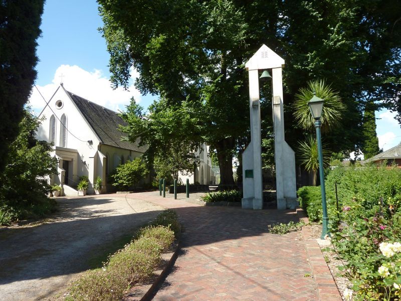
St James Church and bell fronting Langhorne St
St James Church

Garden at St James Church

St James Church Hall
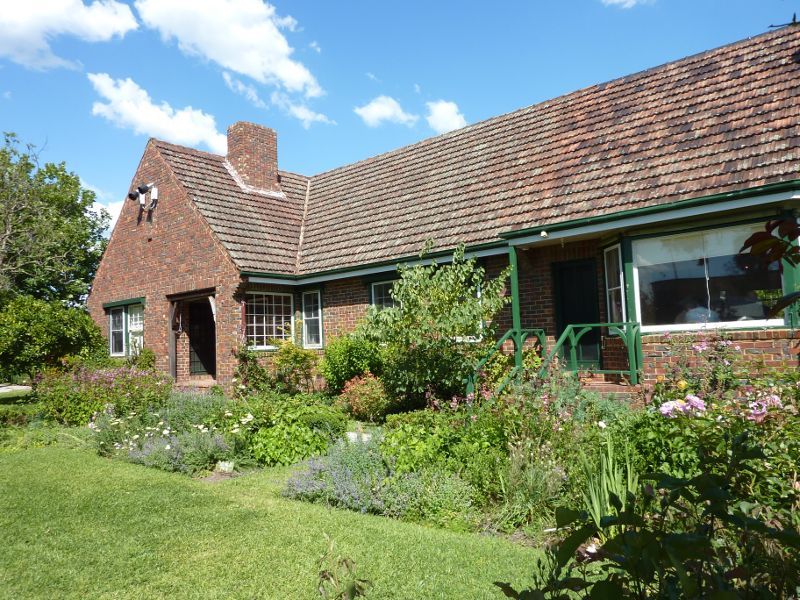
Garden in front of Laurel Lodge

Laurel Lodge
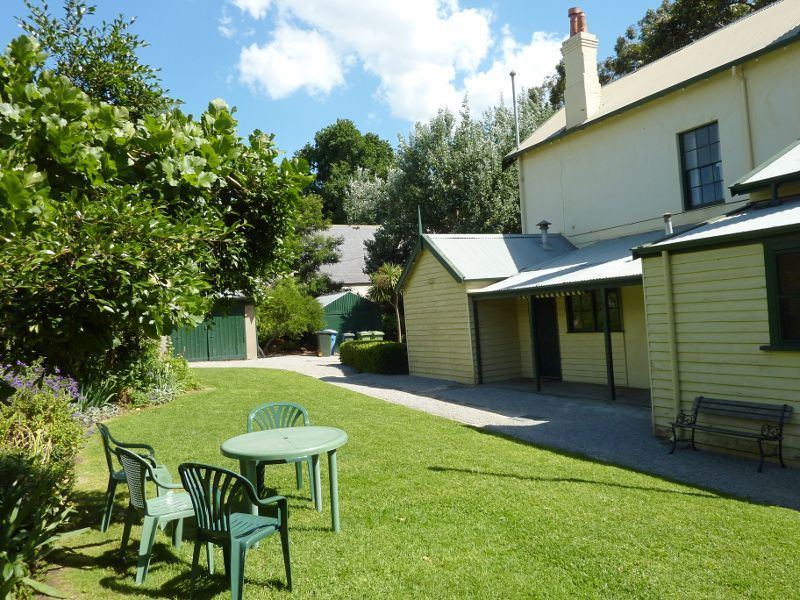
Rear of Laurel Lodge
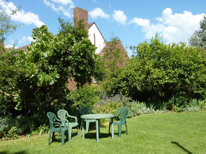
Rear of Benga House
Front of Benga House
Entrance at corner of Foster St and Pultney St
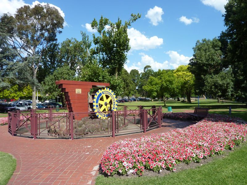
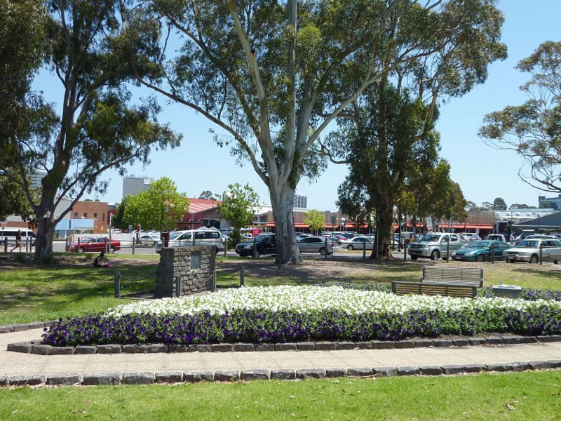
Rotary Waterwheel fronting Foster St
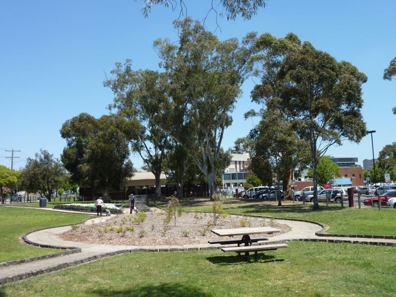
South-easterly view through park from Rotary Waterwheel
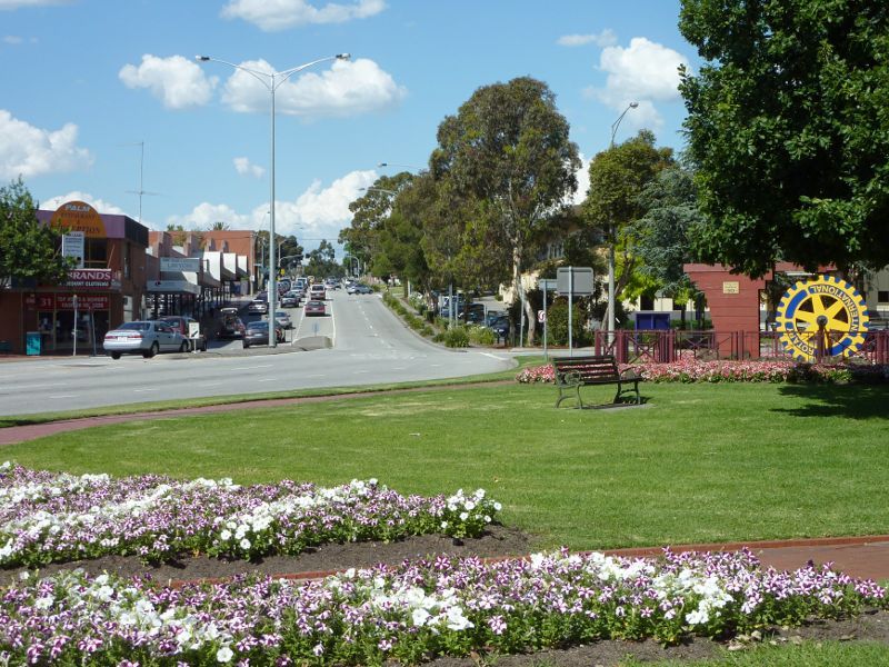
North-easterly view through park towards Foster St
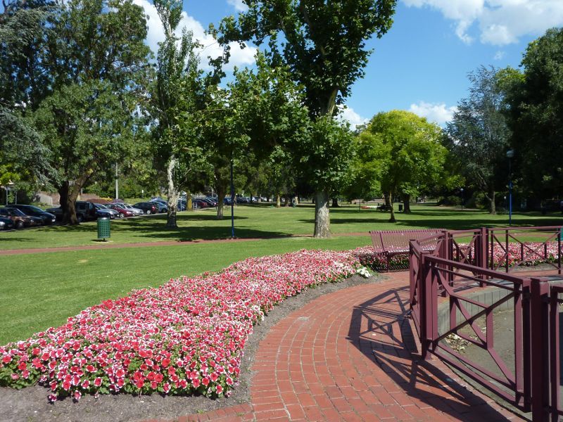
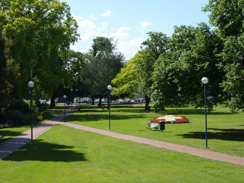
South-easterly view through park
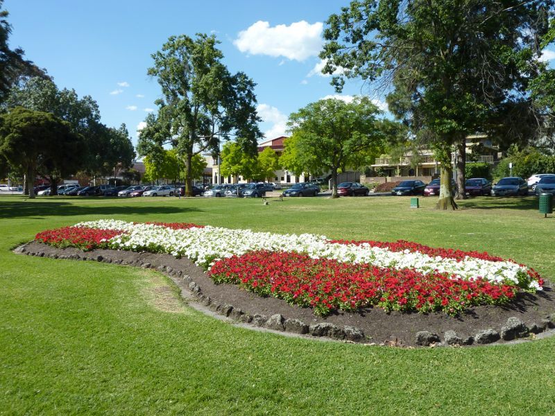
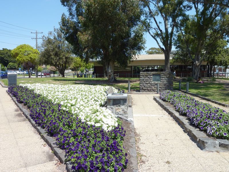
Flower bed fronting Pultney St
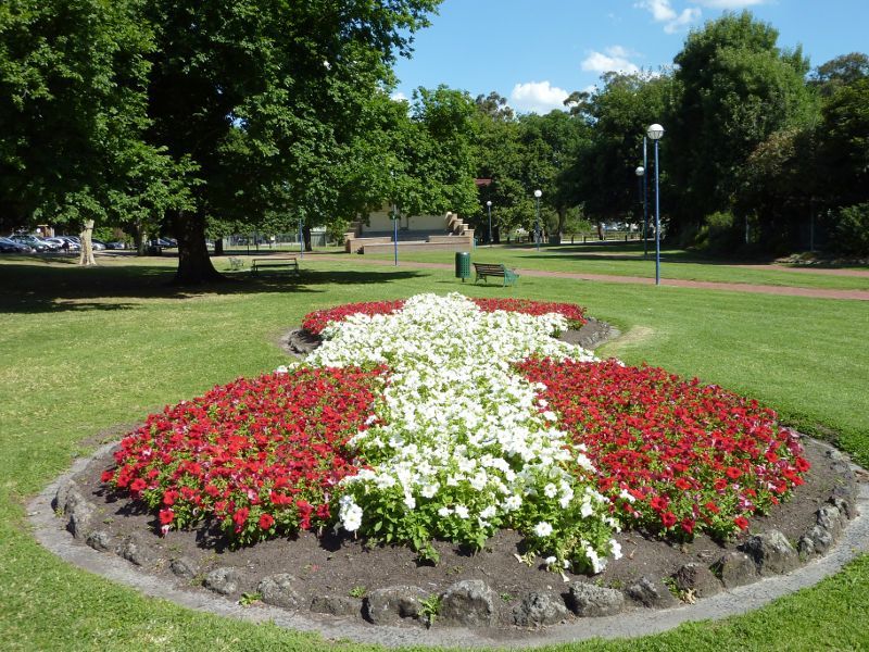
View through park at flower bed towards soundshell
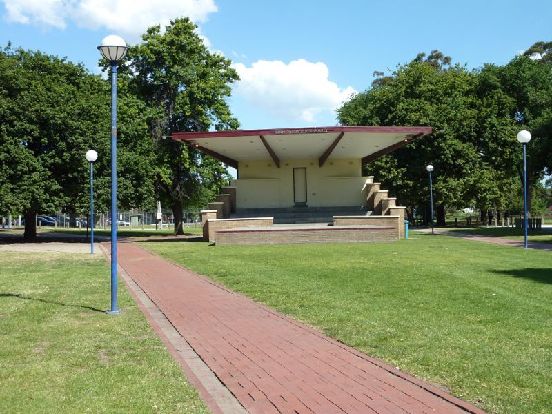
Stan Prior Soundshell
North-westerly view through park from soundshell
View north-west along Lonsdale St at Dandenong Creek bridge
View west along Dandenong Creek from Lonsdale St
View north-west along Lonsdale St towards Webster St
View north-west along Lonsdale St south of Webster St
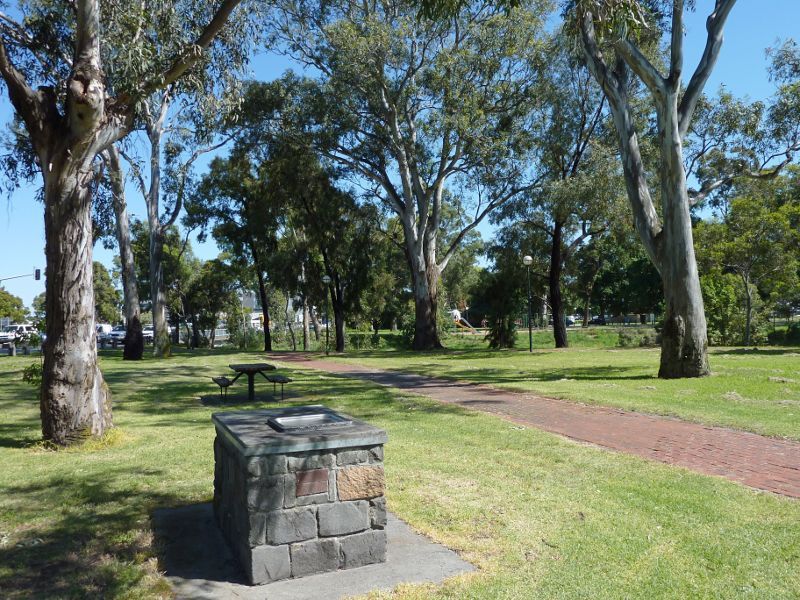
BBQ and picnic area between Lonsdale St and Dandenong Creek
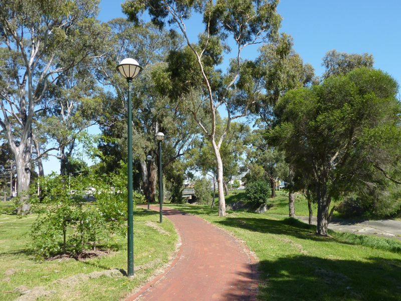
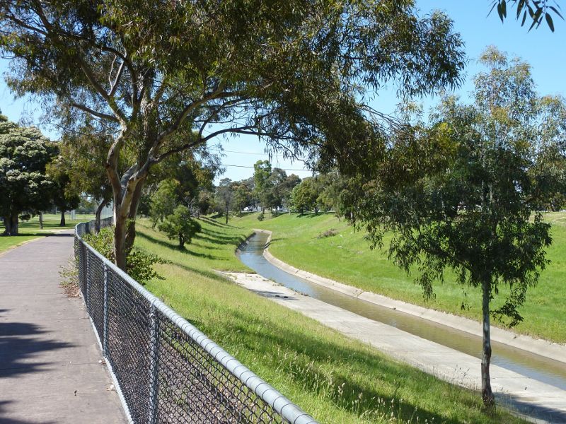
Pathway along Dandenong Creek towards Lonsdale St
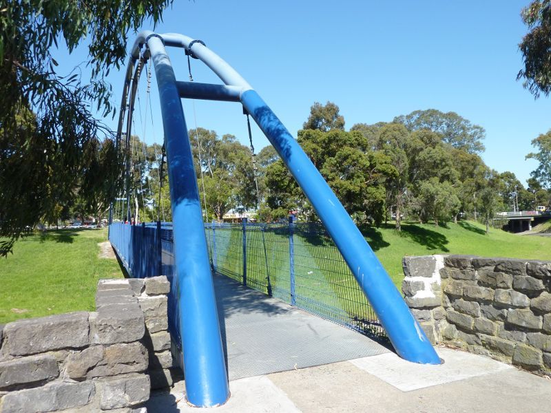
Footbridge over Dandenong Creek
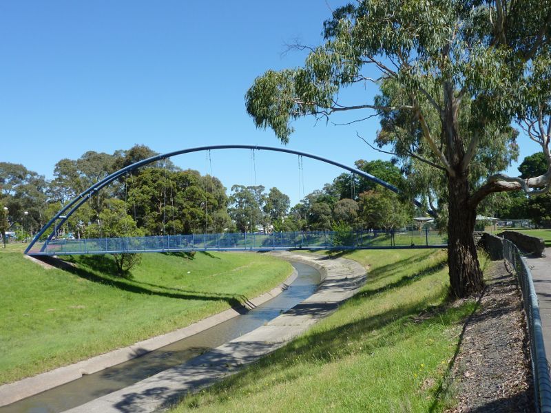
View north-west along Dandenong Creek towards footbridge
View south-east along Dandenong Creek near footbridge
View towards Foster St from footbridge to upper level of station
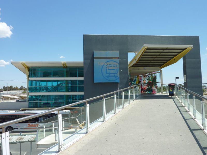
Footbridge from Foster St to upper level of station
Footbridge from Foster St to upper level of station
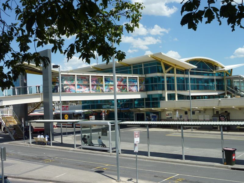
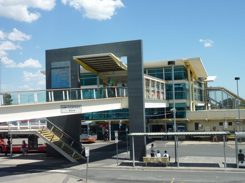
Station viewed from Foster St
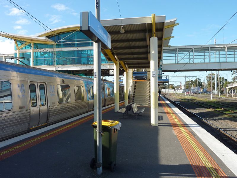
Easterly view along station platform

Main entrance to reserve at Bennet St
Easterly view along main entrance driveway
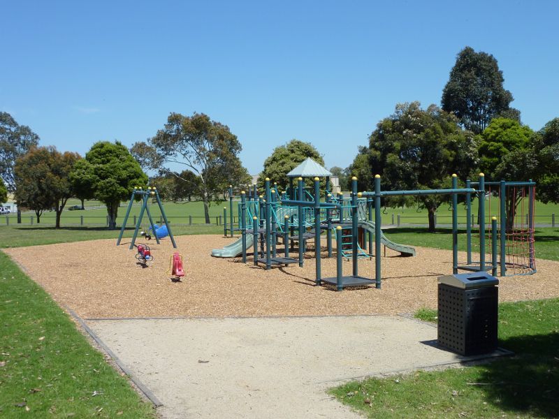
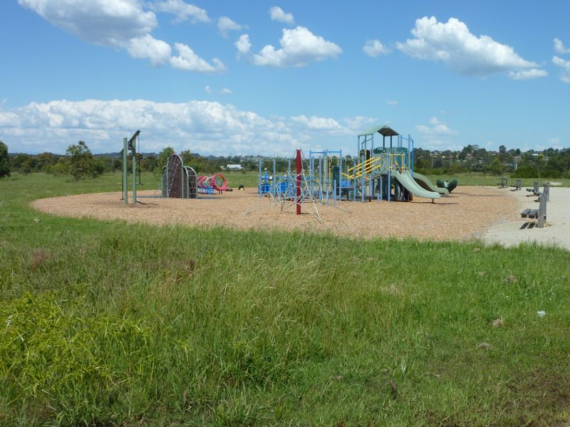
Playground
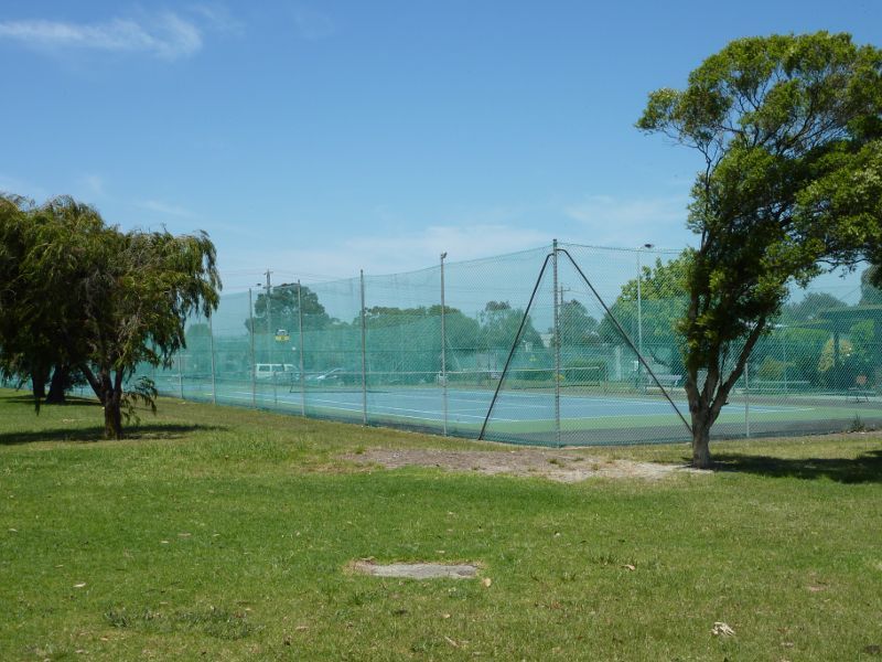
Tennis courts
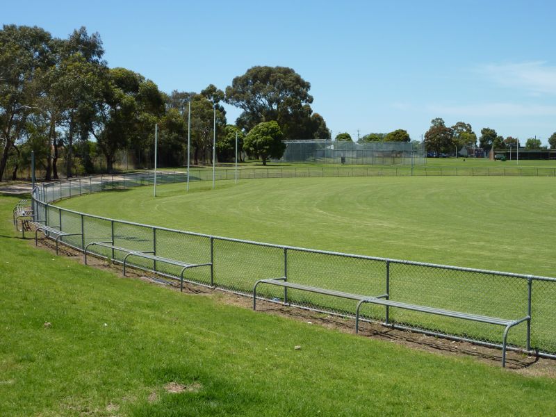
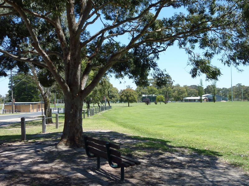
Ovals at northern side of reserve
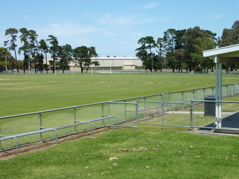
Southerly view across sports oval
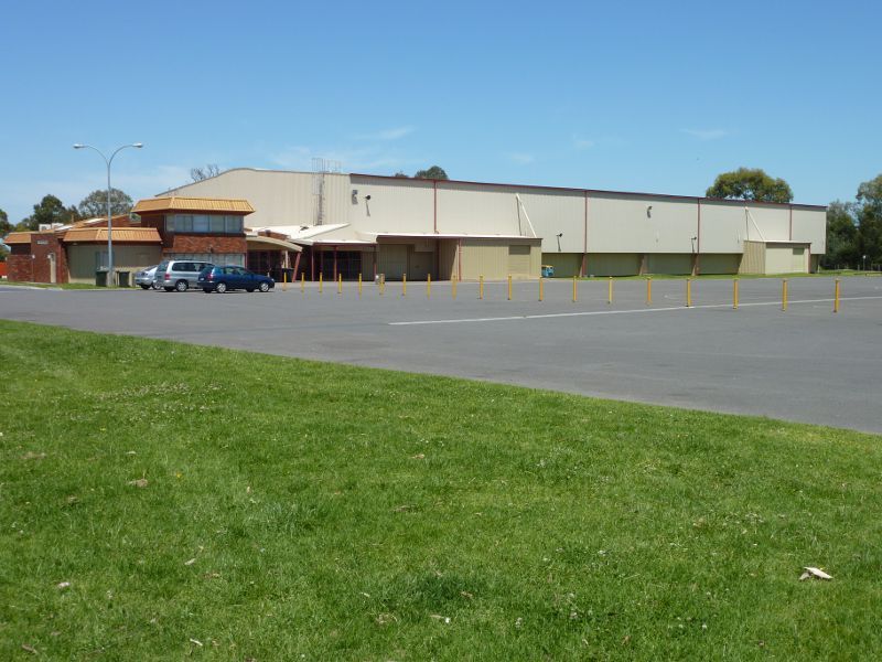
Gloria Pyke Netball Complex
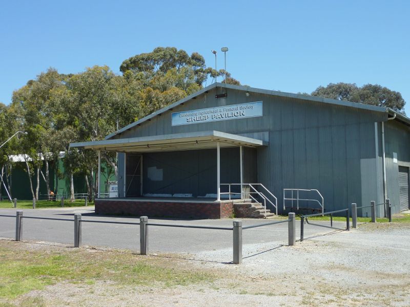
Sheep Pavilion
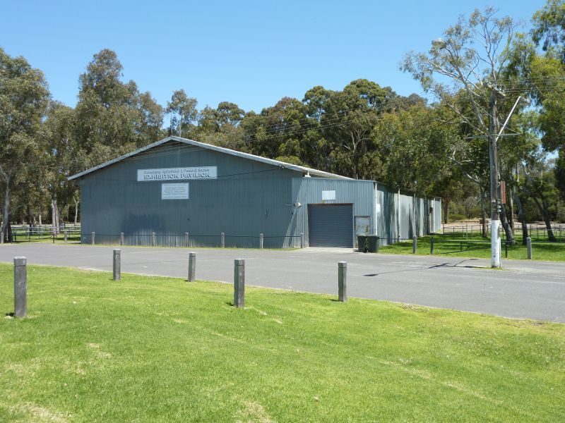
Exhibition Pavilion
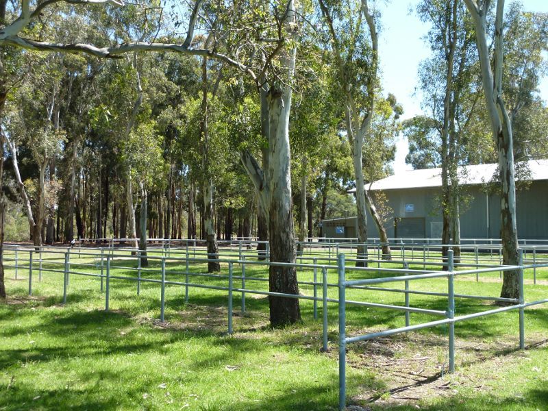
Fenced animal yards next to Exhibition Pavilion
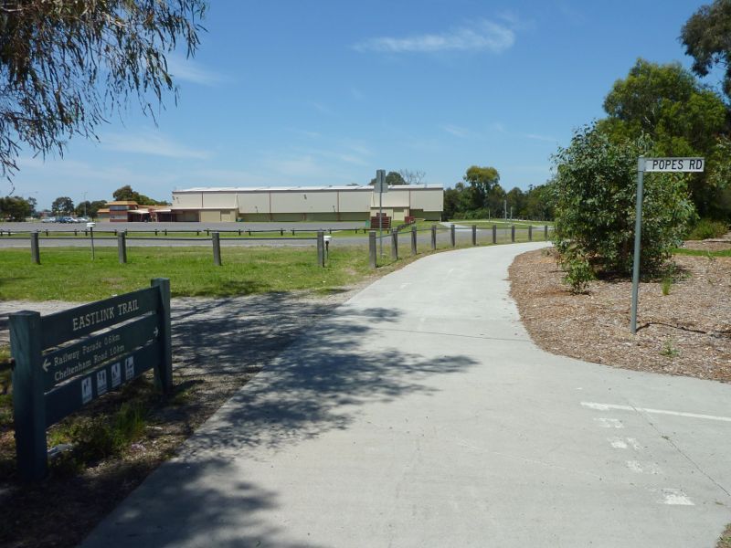
EastLink Trail between Exhibition Pavilion and netball complex

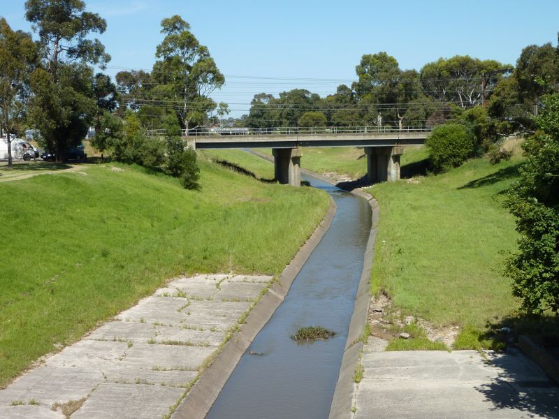
Footbridge over Mile Creek
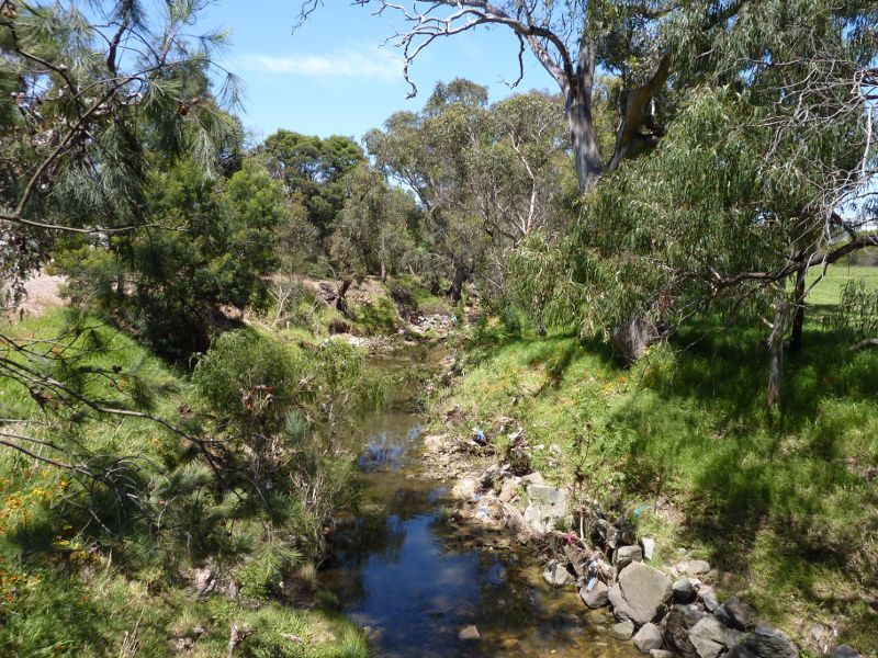
View along Mile Creek from footbridge
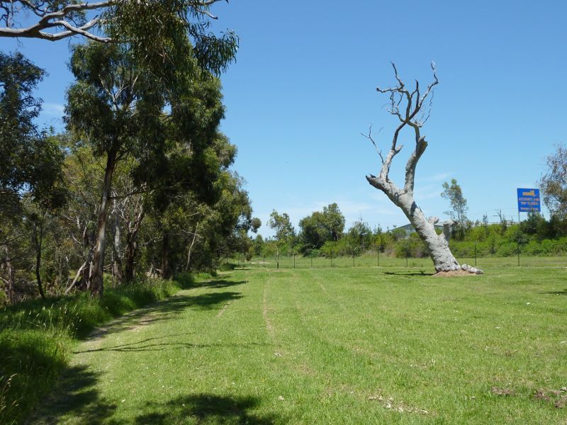
Parkland between Mile Creek and EastLink
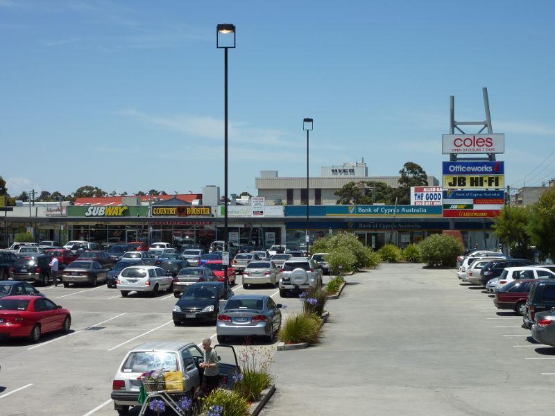
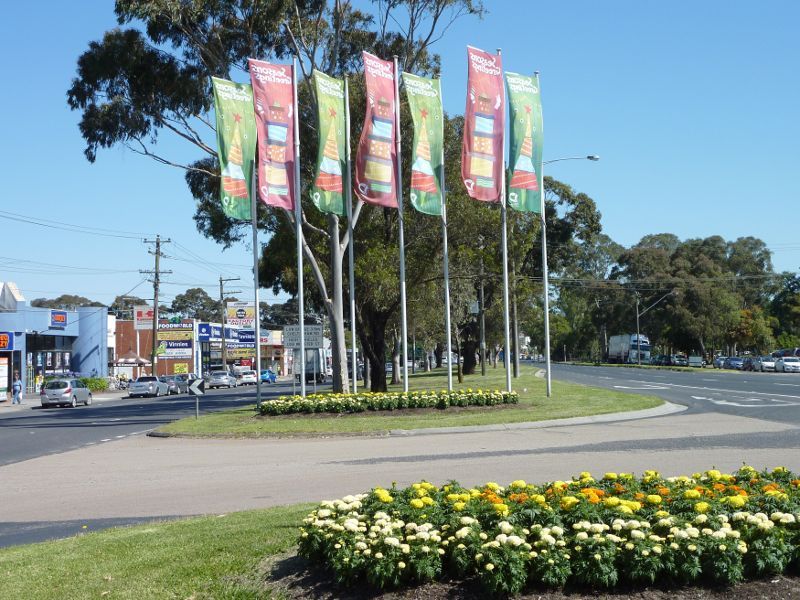
Shopping centre between Princes Hwy and Cleeland St
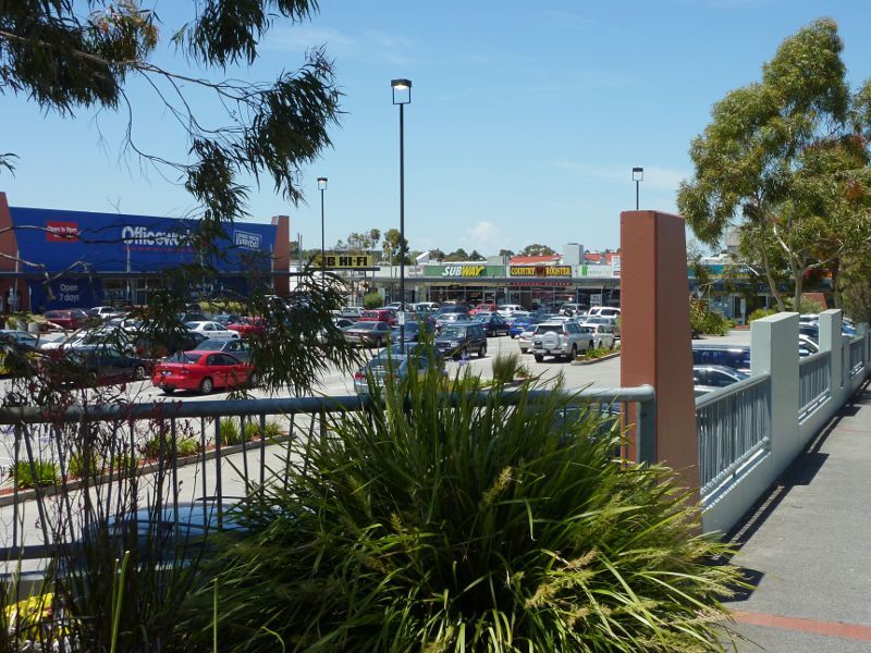
Shopping centre fronting Princes Hwy near Robinson St
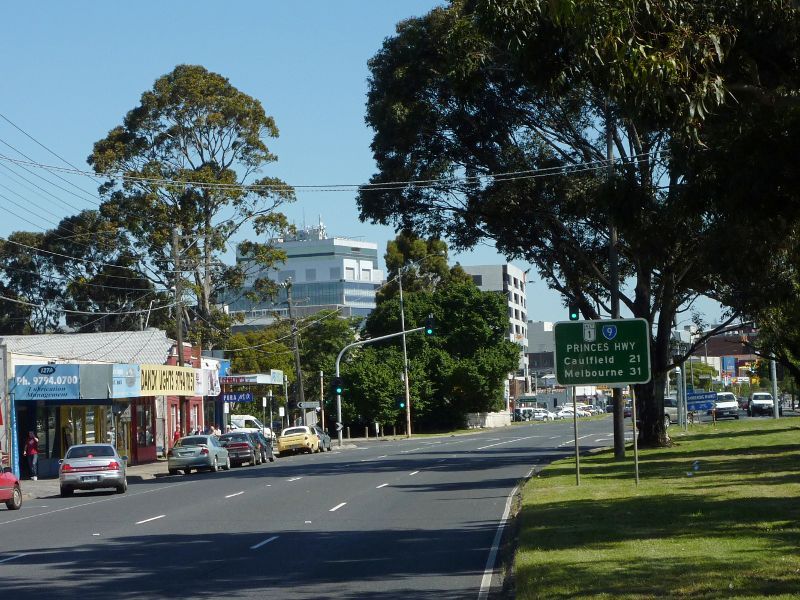
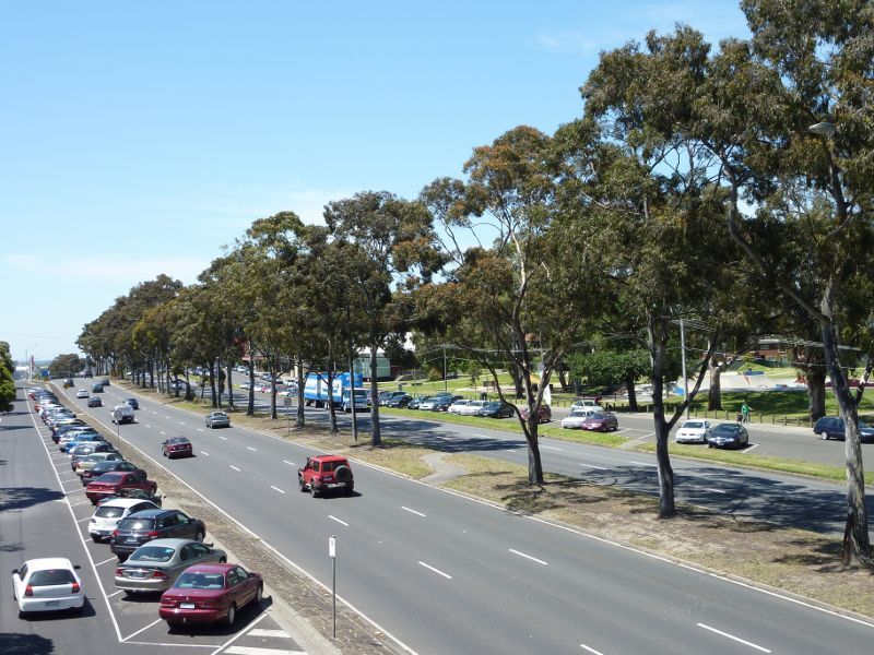
View south-east along Princes Hwy at Close Av
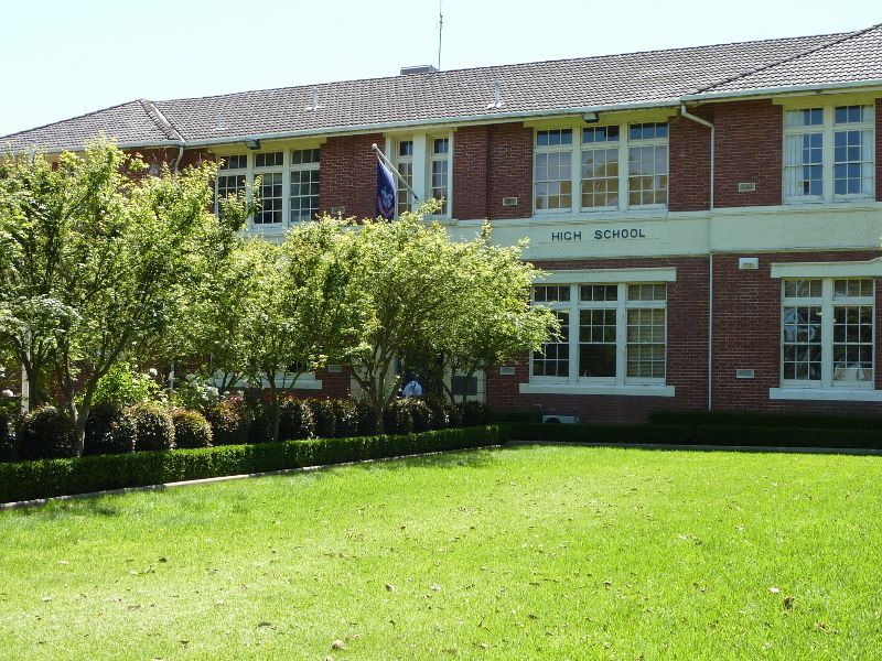
Dandenong High School fronting Princes Hwy
View south-east along Princes Hwy from footbridge at John Hemmings Memorial Park
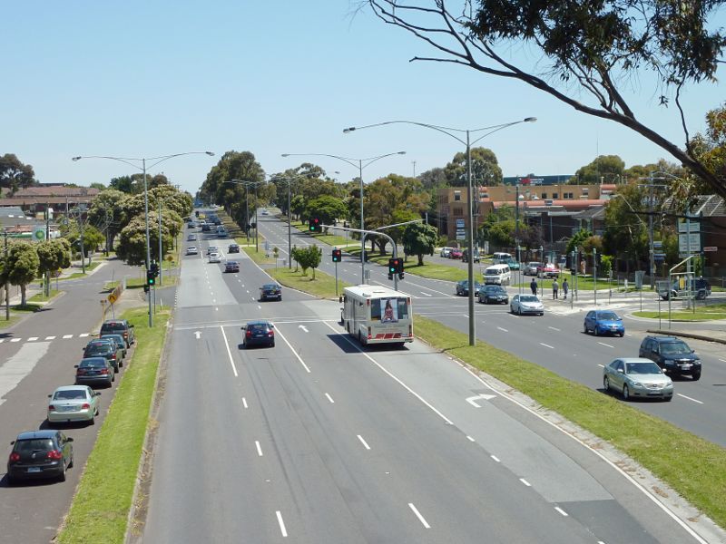
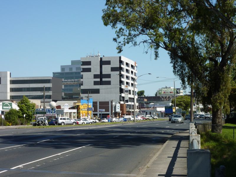
View north-west along Princes Hwy towards James St
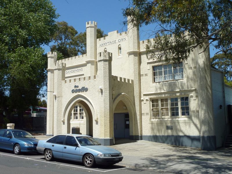
The Castle
BMX track
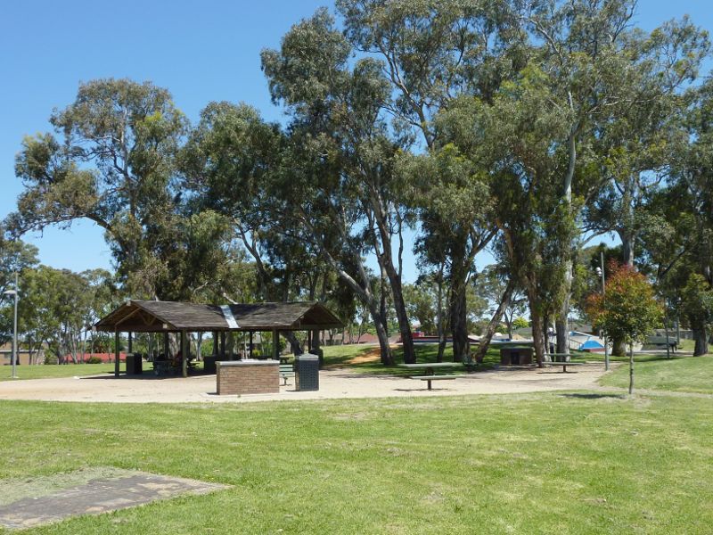
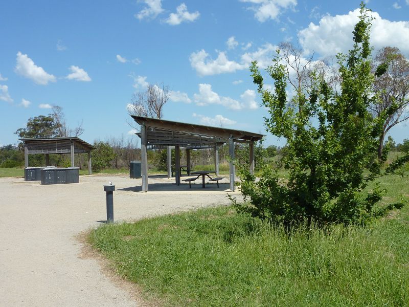
BBQ shelter and picnic area
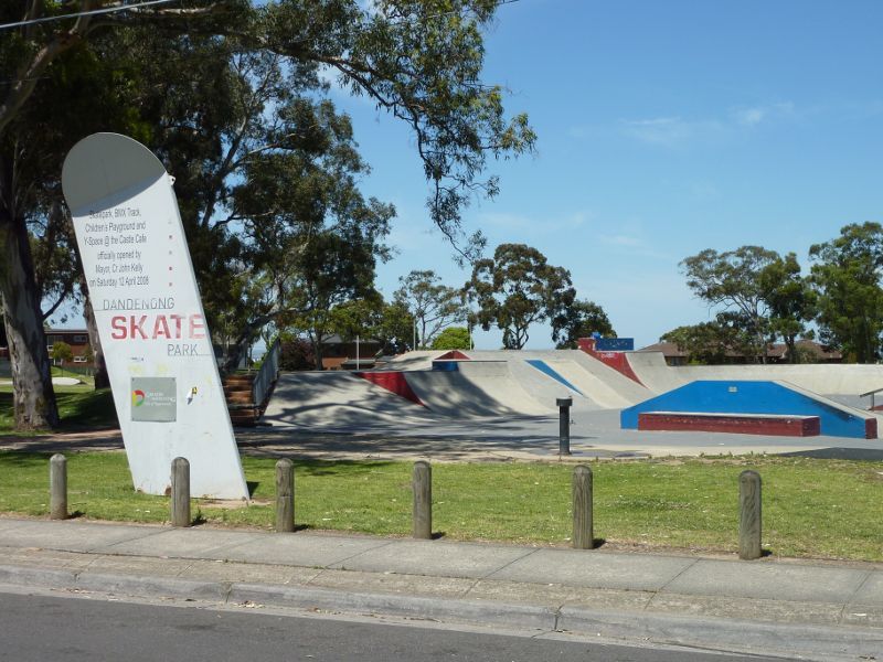
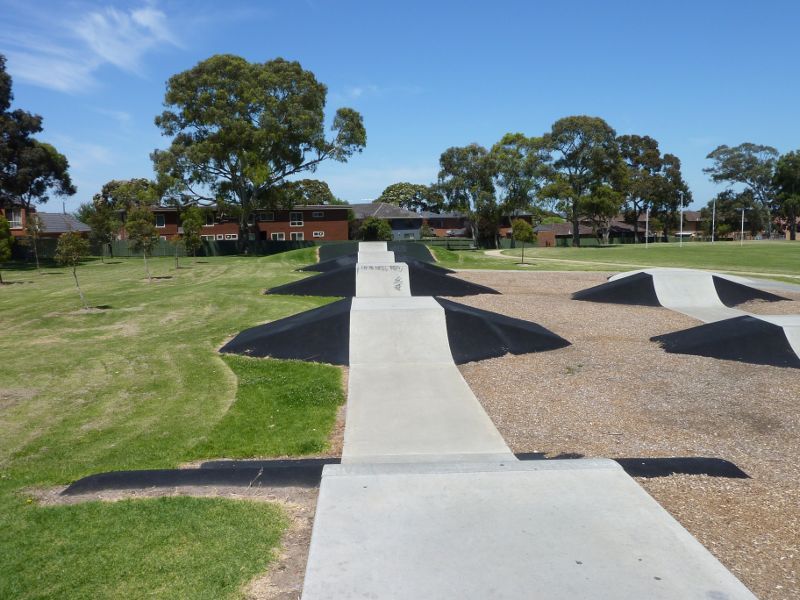
Skate park
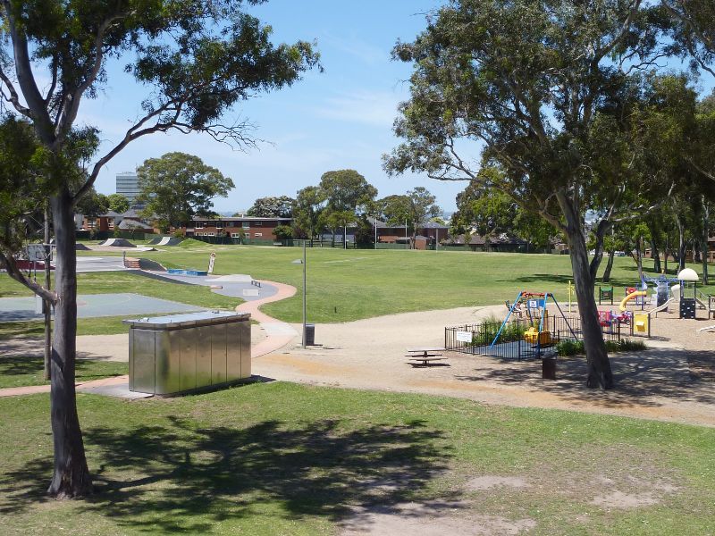
View across park towards oval
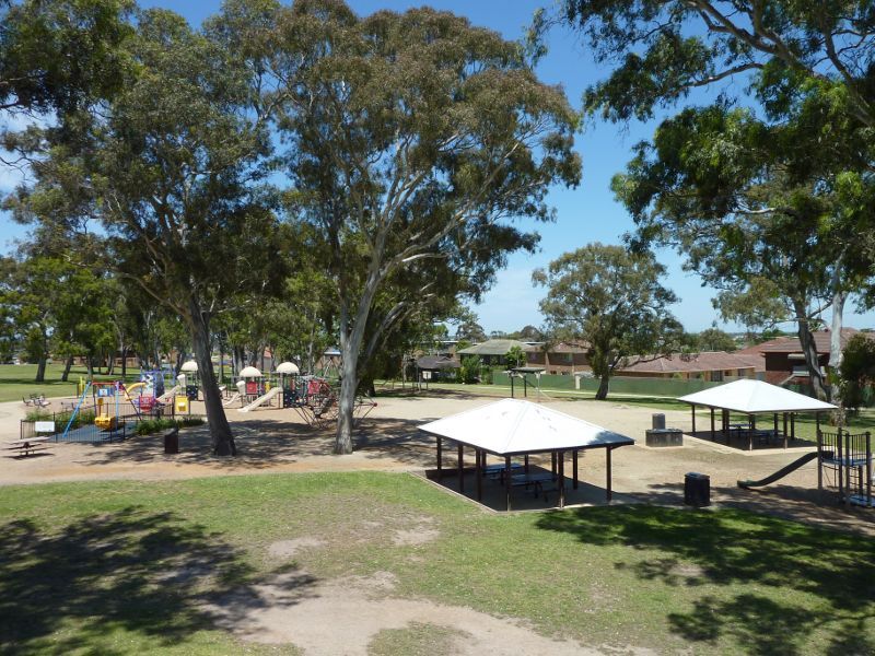
View towards playground and picnic shelters
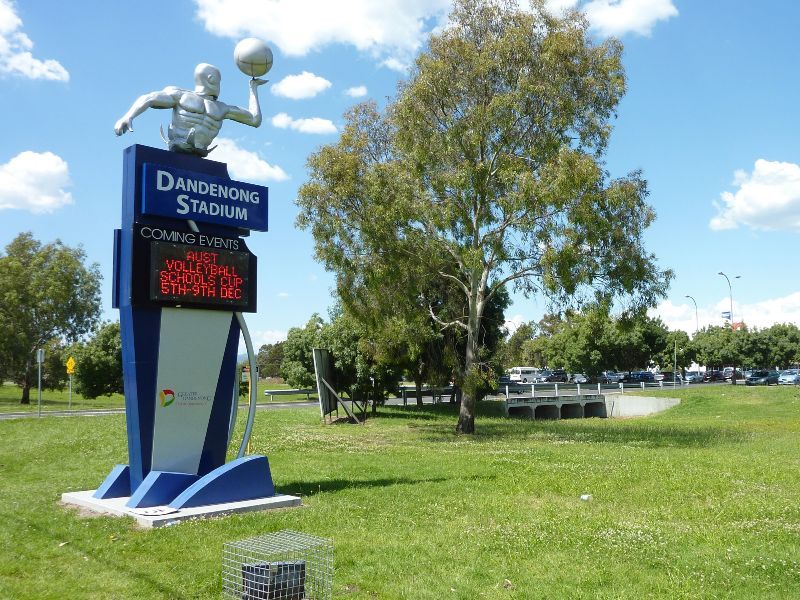
Entrance to stadium at Stud Rd
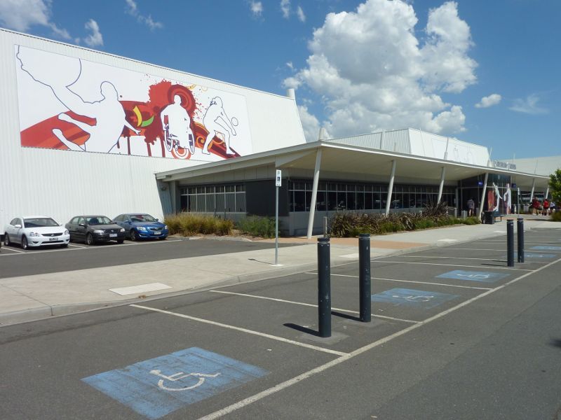
View of stadium from car park
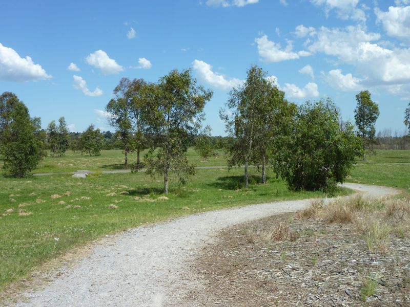
Pathway near Dandenong Stadium
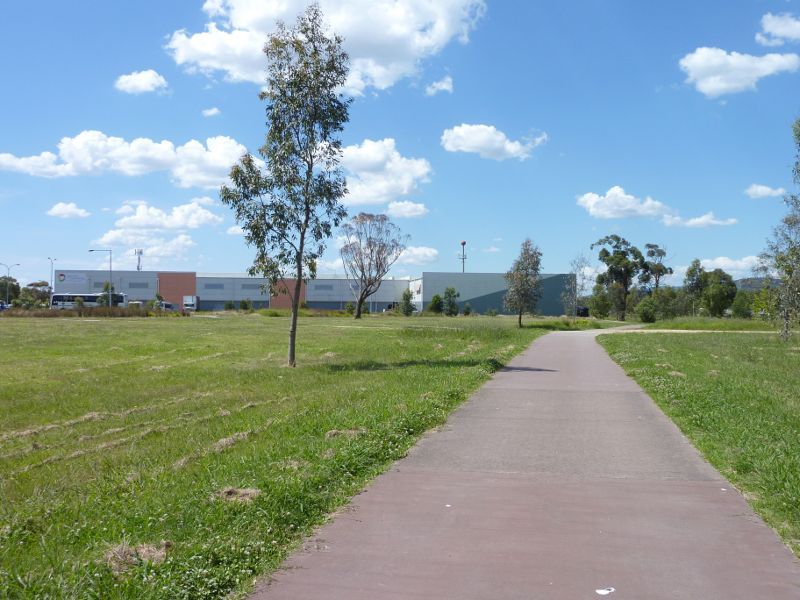
Pathway between Dandenong Stadium and playground
Playground
BBQ shelters and picnic area
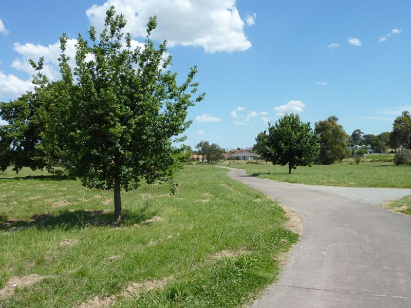
Pathway south of playground
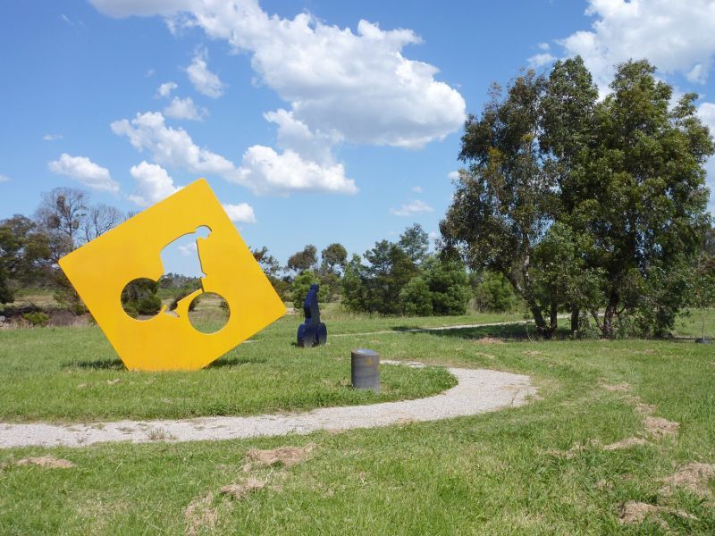
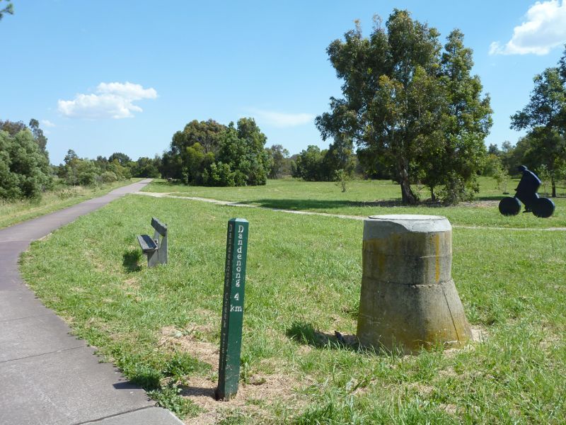
'Freedom Cycle' sculpture on Dandenong Creek Trail near Heatherton Rd
Dandenong Creek Trail near Heatherton Rd
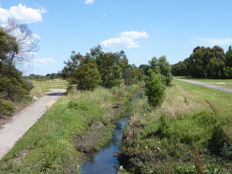
Dandenong Creek Trail beside drain at Heatherton Rd
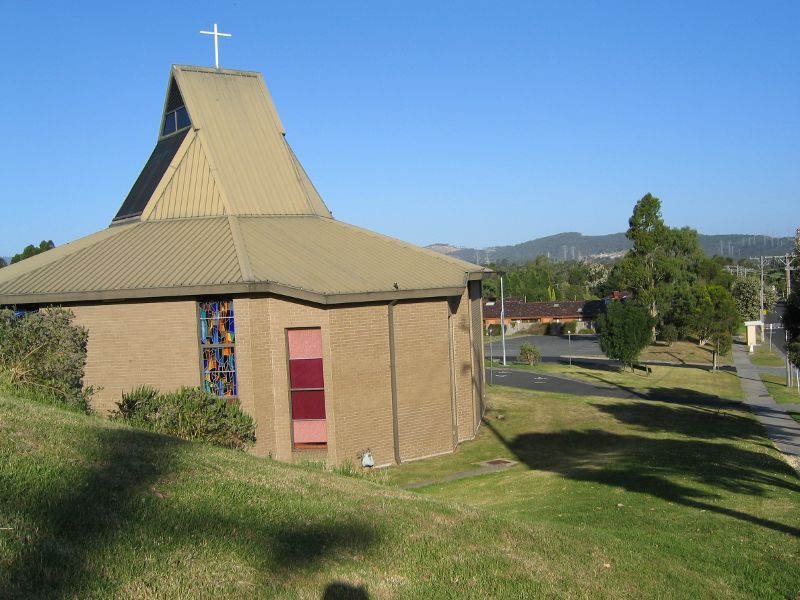
St Gerards Church, Gladstone Rd south of Heatherton Rd
Christian Reformed Church, Gladstone Rd at Outlook Dr
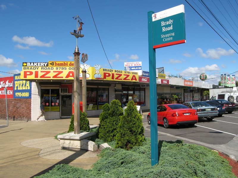
Brady Road shopping centre, Brady Rd at Shalimar Cr
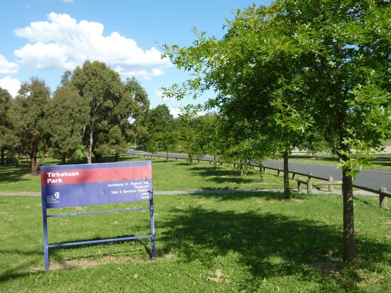
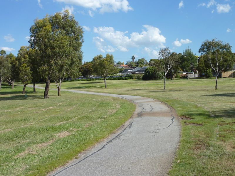
Entrance to park, Kriegel Way
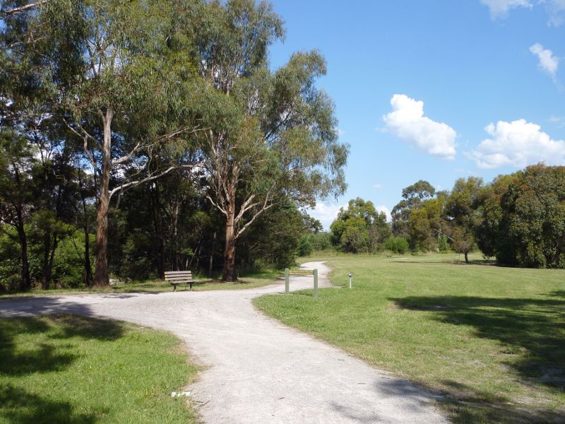
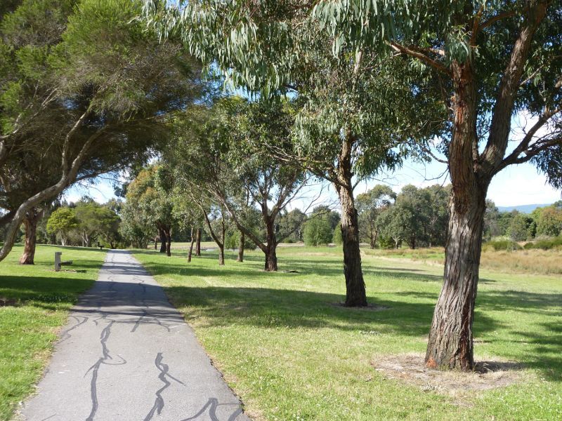
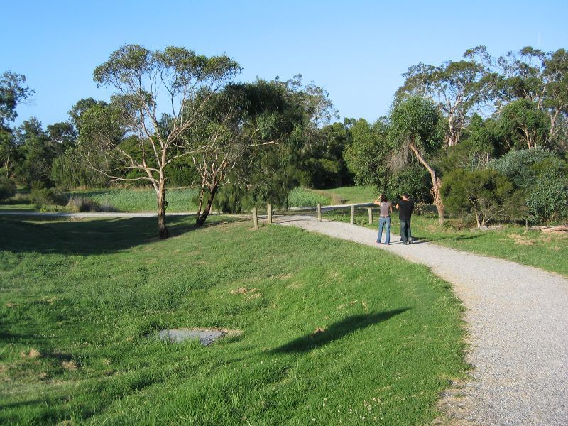
Pathway along Dandenong Creek near main car park
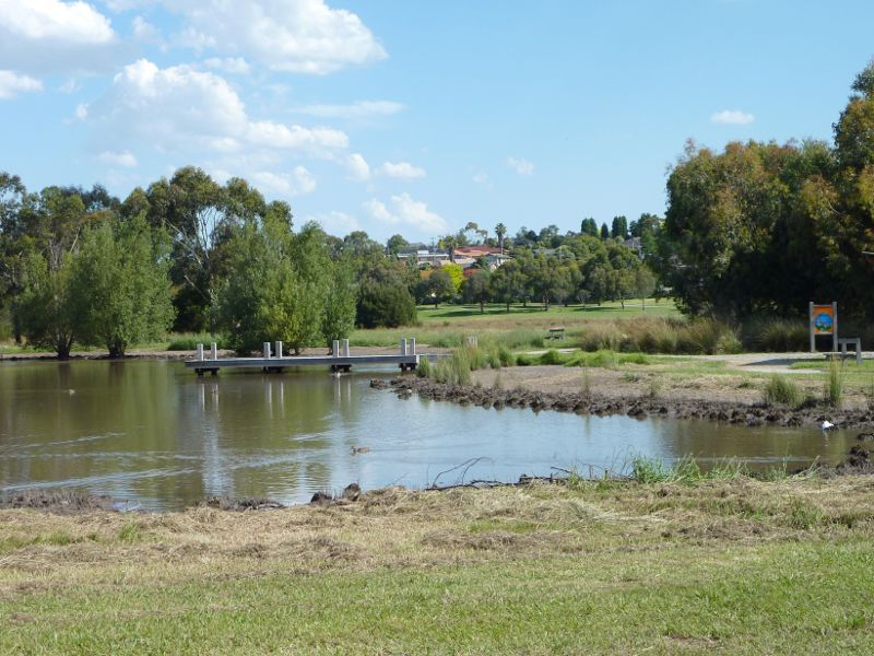
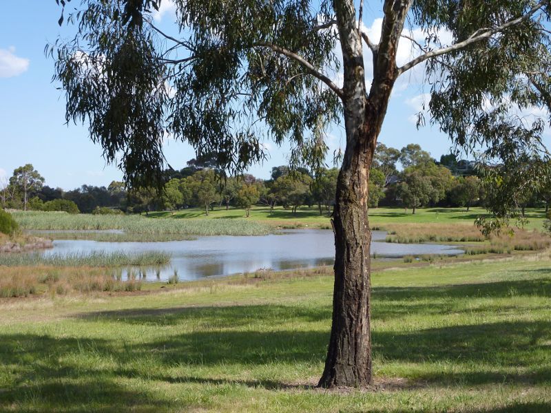
Northern lake

Shelter overlooking northern lake
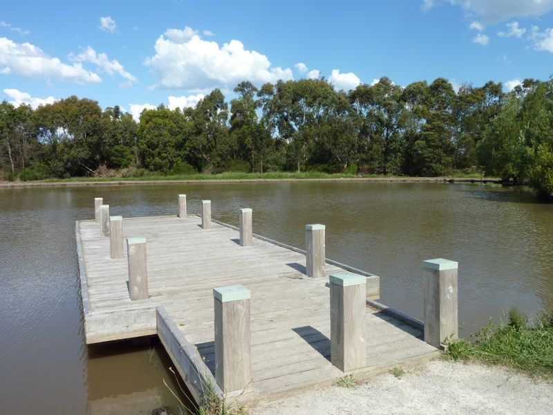
Jetty at northern lake
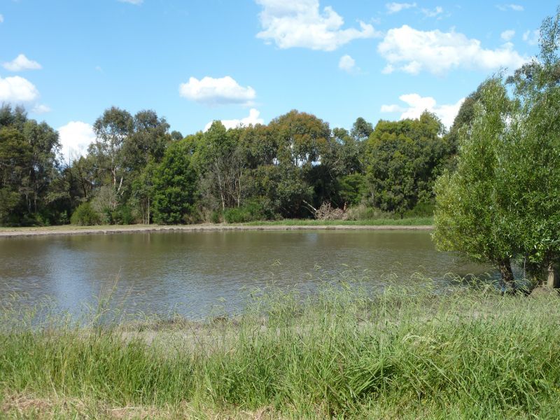
Southern side of northern lake
Pathway along west side of southern lake
Pathway along west side of southern lake
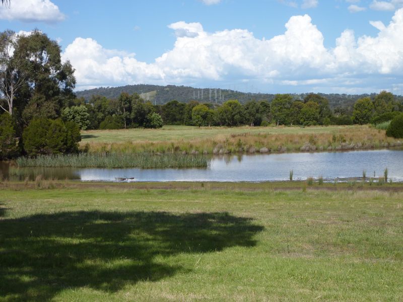
Southern lake
Easterly view across southern lake
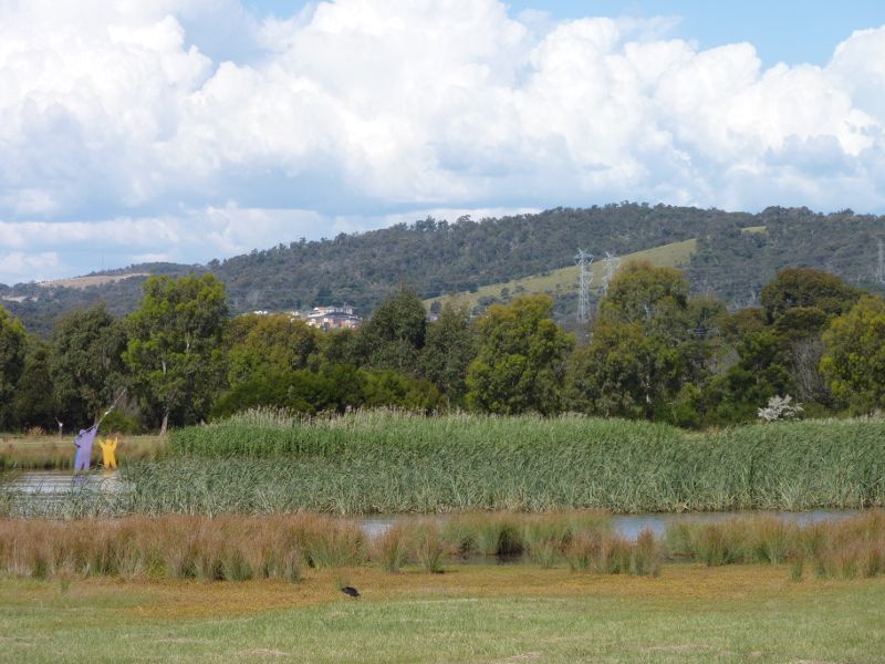
View across southern lake towards 'Water Kite' sculpture
Walking track through wetlands
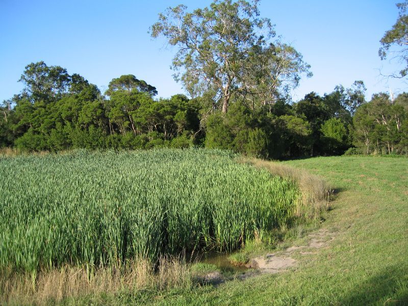
Wetlands
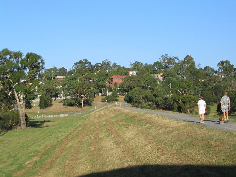
Walking track along embankment near Dandenong Creek
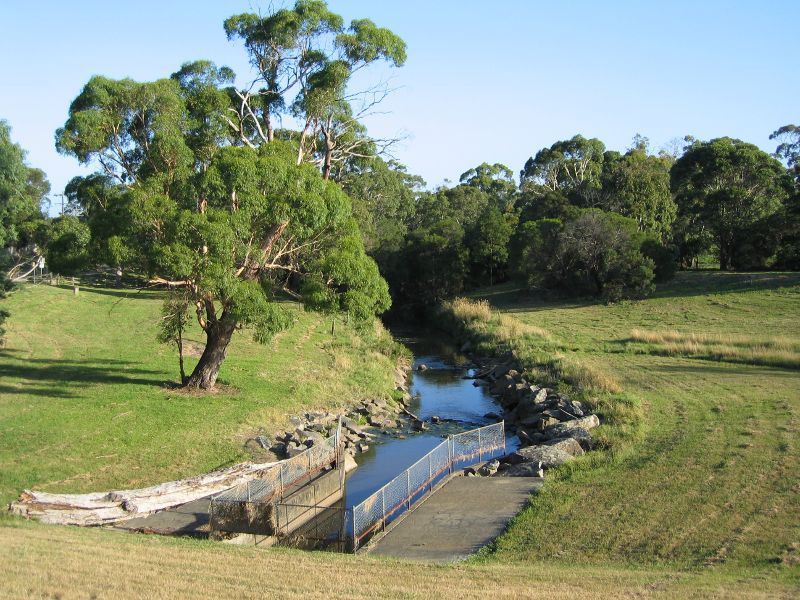
Southerly view along Dandenong Creek
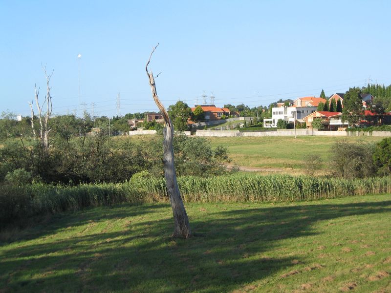
View towards residential area in Rowville from wetlands
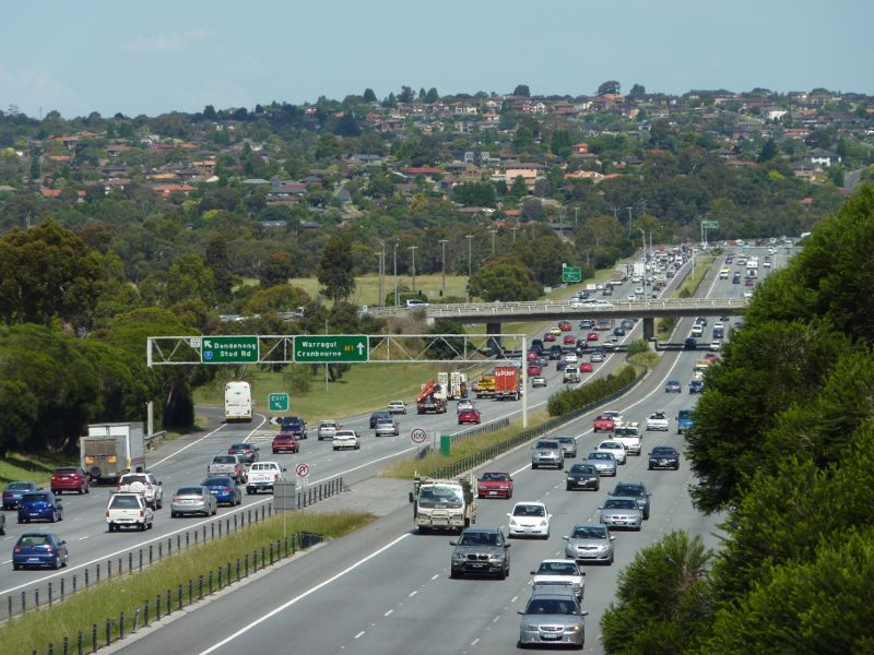
View south-east along Monash Fwy towards Stud Rd exit
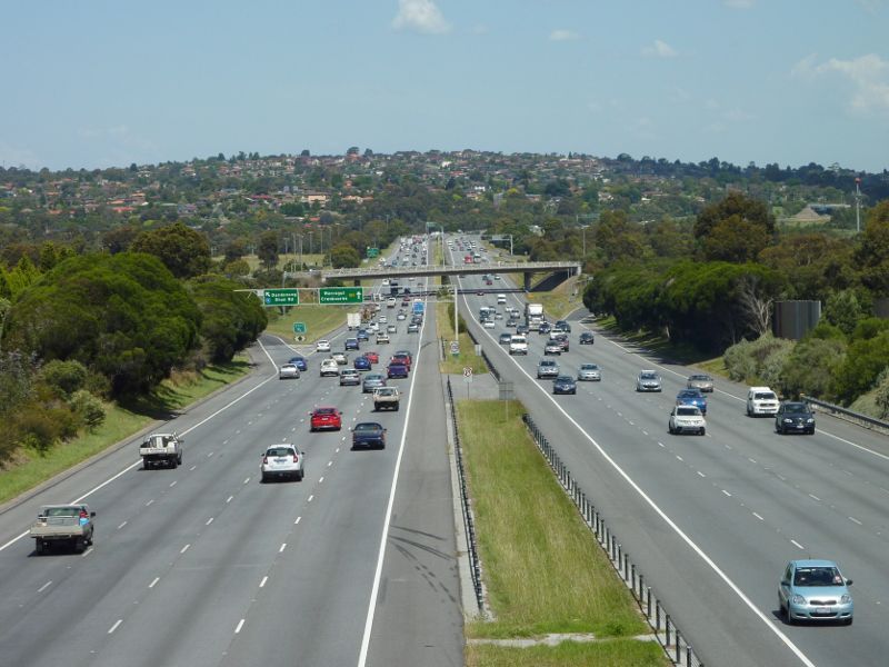
View south-east along Monash Fwy towards Stud Rd with Endeavour Hills in background
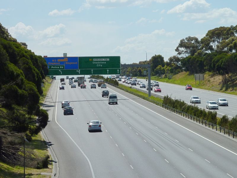
View north-west along Monash Fwy towards Police Rd and EastLink exit
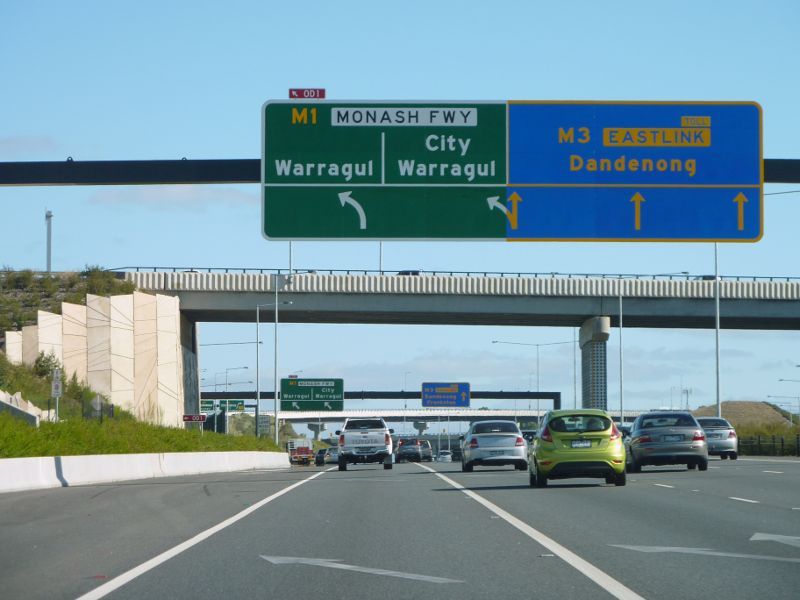
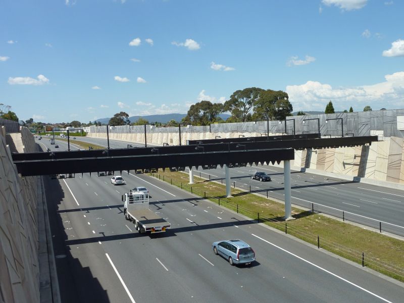
View south along EastLink at Police Rd towards Monash Fwy exit
View north-east along EastLink from Oakwood Av overpass
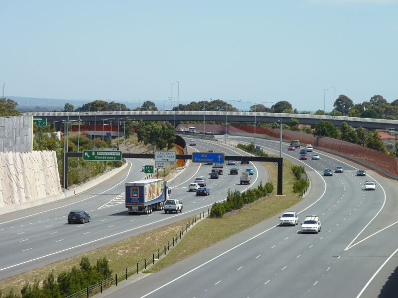
View south-west along EastLink towards Princes Hwy exit