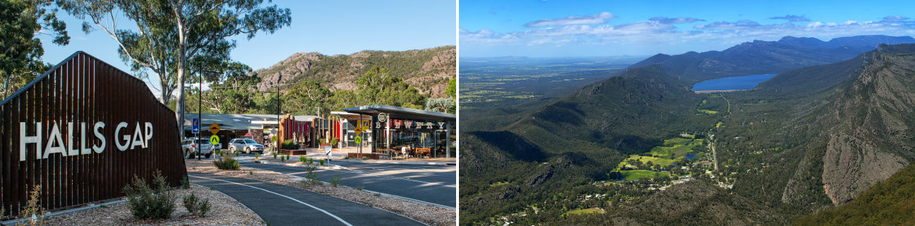
Halls Gap - photos
Halls Gap
Stay
See and do
Food and drink
Shopping
Getting around
Visitor information
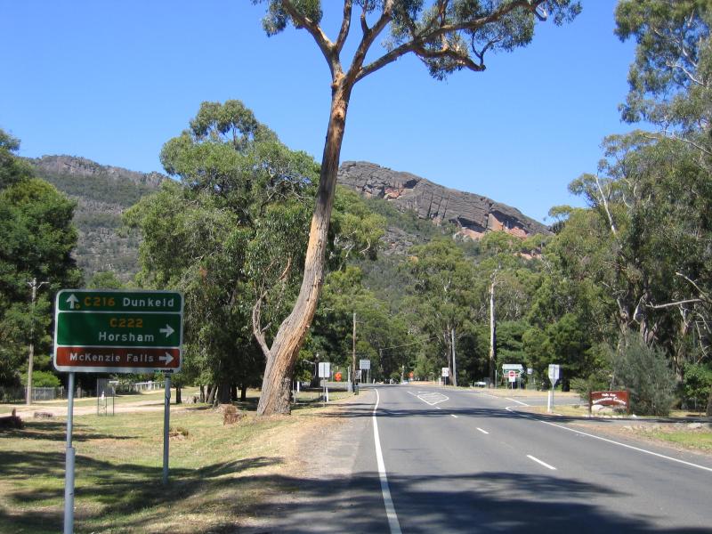
View south along Grampians Rd towards Mt Victory Rd
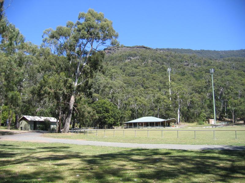
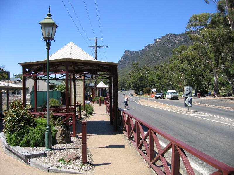
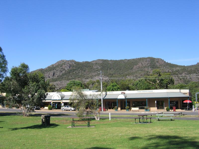
Recreation reserve, corner Grampians Rd and Mt Victory Rd
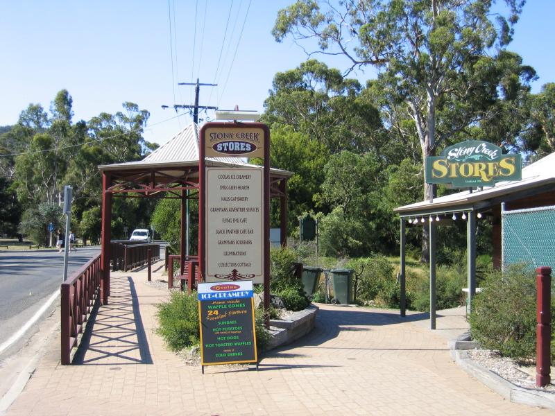
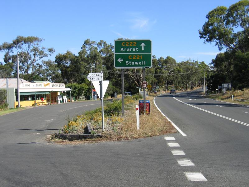
View north along Grampians Rd towards bridge over Stony Creek and Stony Creek Stores
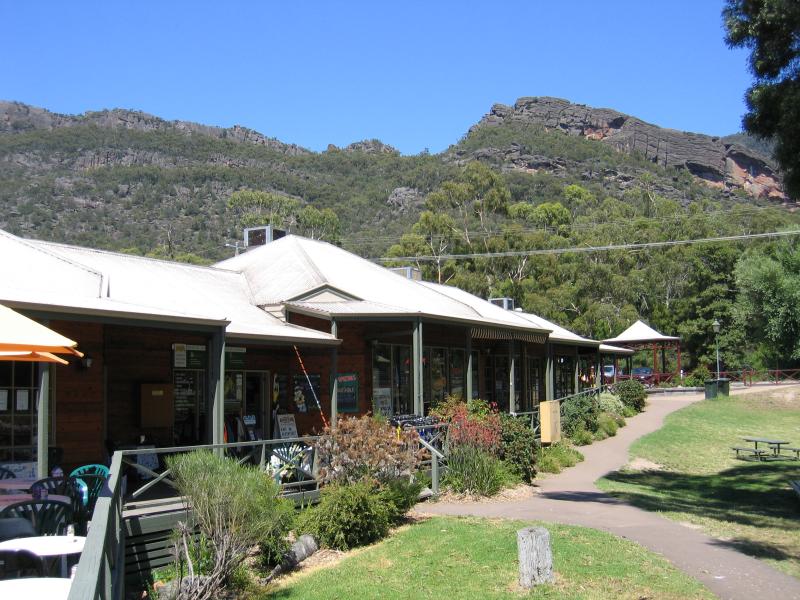
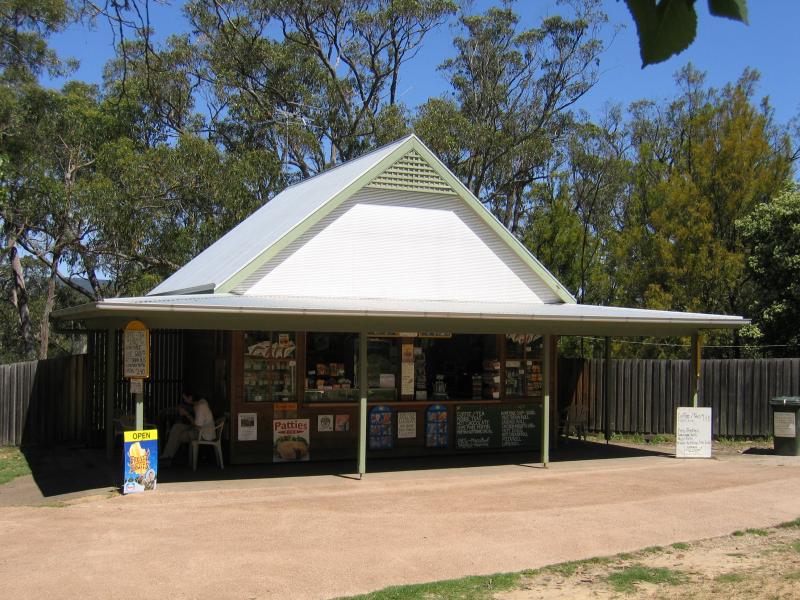
Stony Creek Stores
Stony Creek Stores
Restaurant at Stony Creek Stores
View south along Grampians Rd at Stony Creek Stores
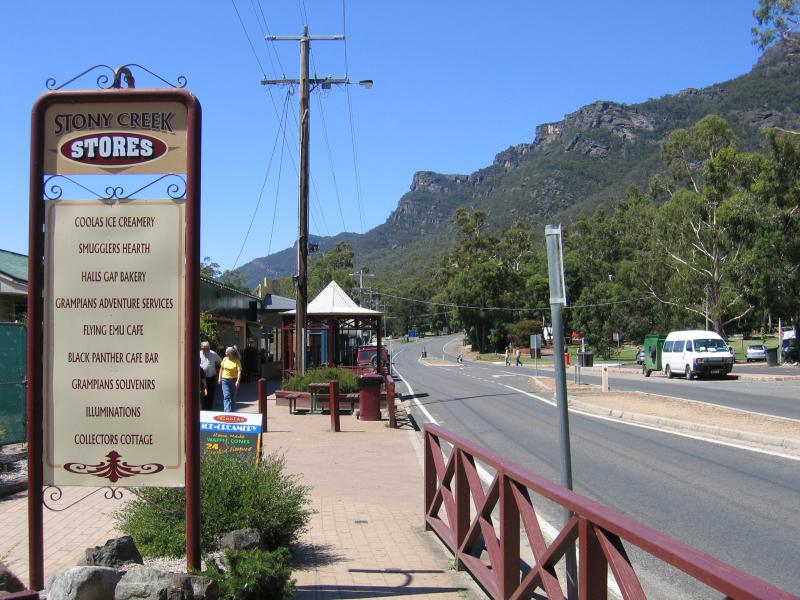
View south along Grampians Rd at Stony Creek Stores
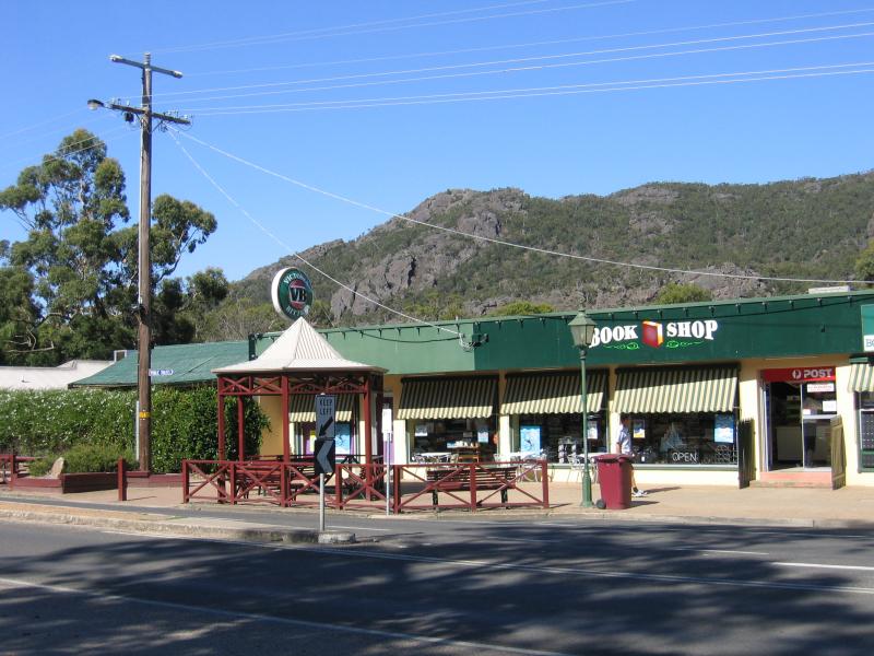
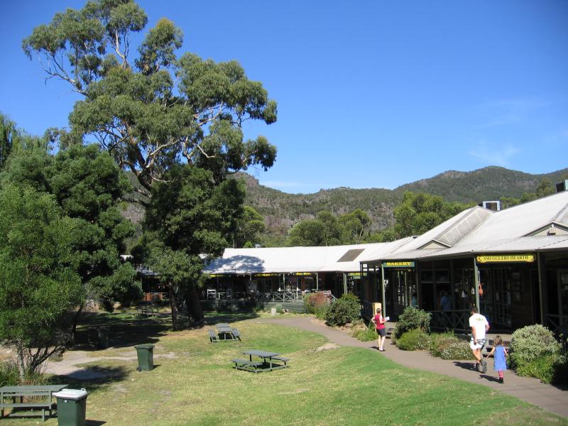
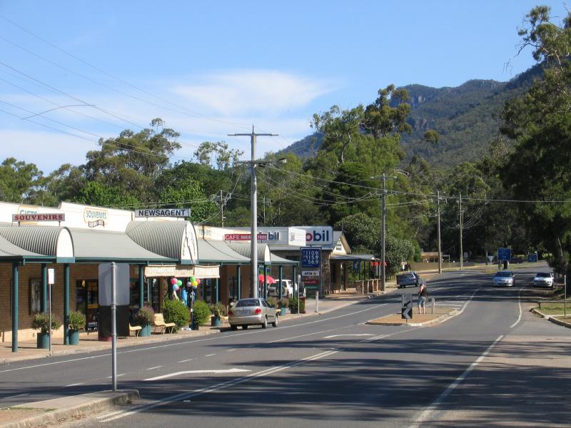
Shops along Grampians Rd between Stony Creek and Heath St
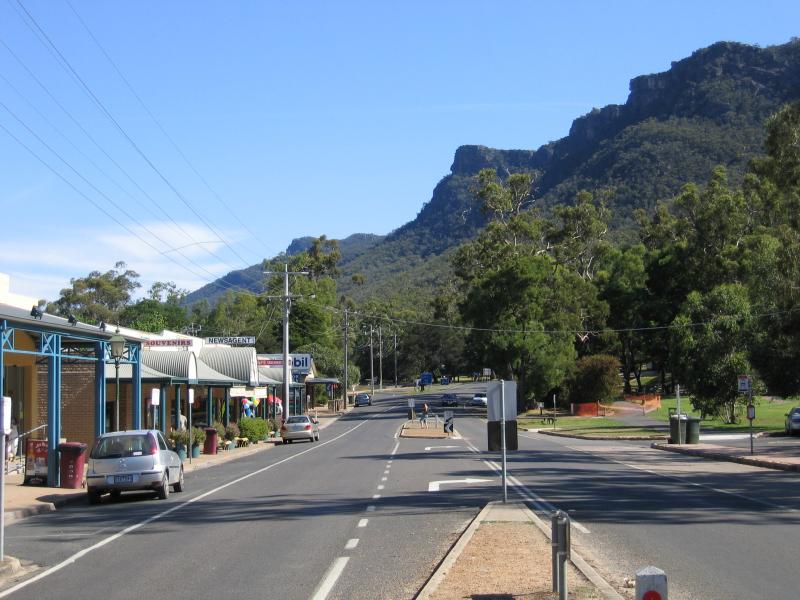
View south along Grampians Rd between Stony Creek and Heath St
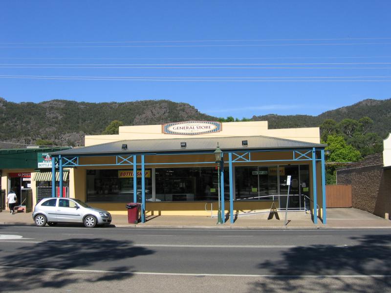
General Store, Grampians Rd between Stony Creek and Heath St
View east across Grampians Rd towards shop from Halls Gap Picnic Reserve
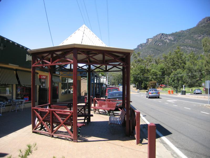
Shops, view south along Grampians Rd between Stony Creek and Heath St
Shops, view south along Grampians Rd towards Heath St
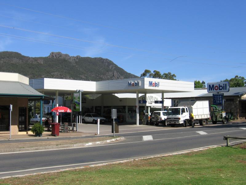
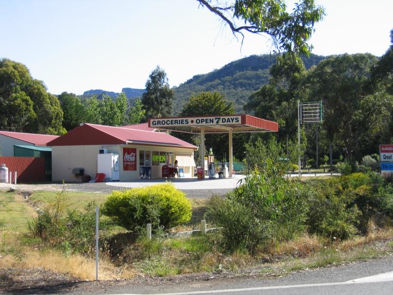
Petrol station, Grampians Rd north of Heath St
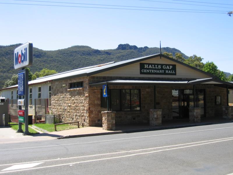
Hals Gap Centenary Hall, Grampians Rd north of Heath St
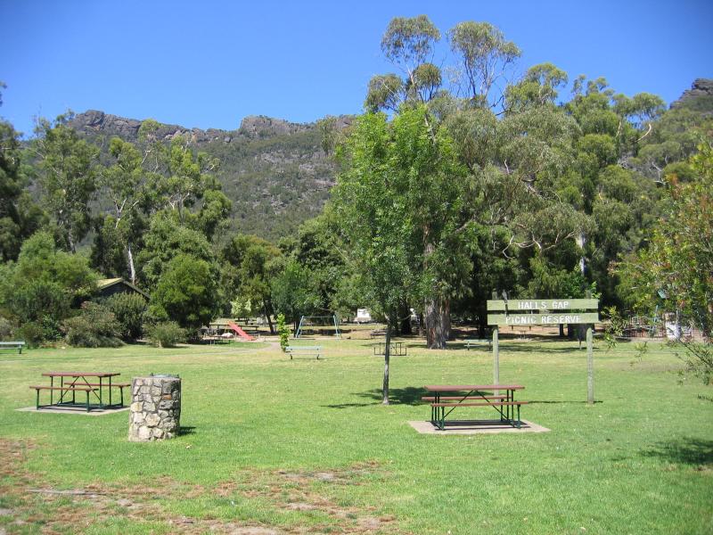
Halls Gap Picnic Reserve, Grampians Rd
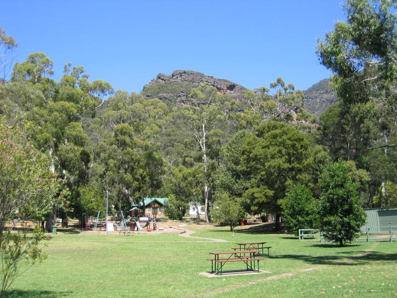
Halls Gap Picnic Reserve, Grampians Rd
Accommodation lining Grampians Rd, view south-east between Rosea St and Glen St
General store, corner Lake Fyans Rd and Grampians Rd
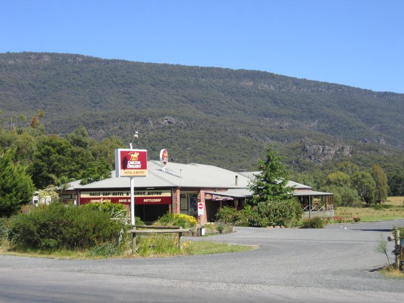
Halls Gap Hotel and Family Bistro, corner Grampians Rd and Clematis Dr
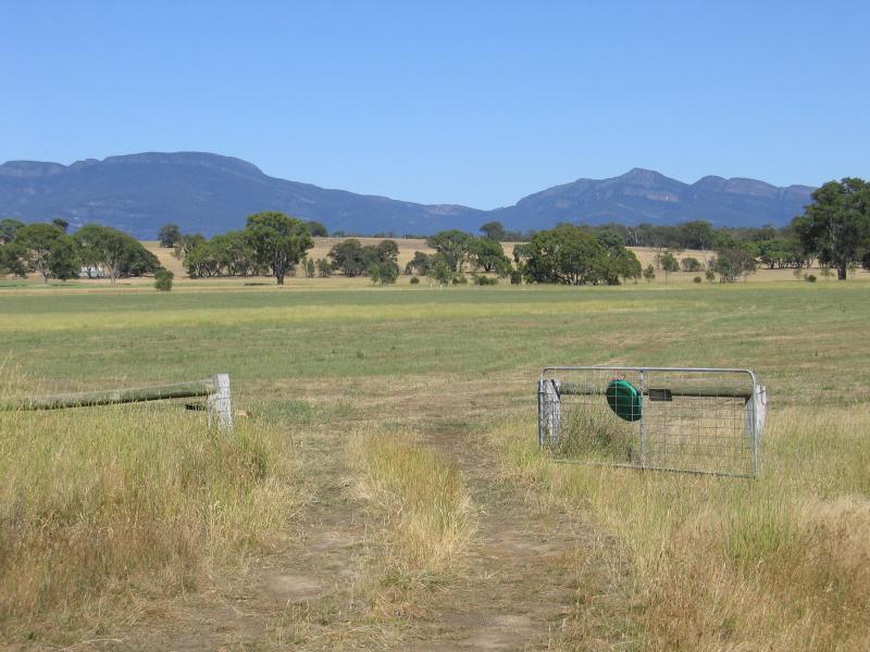
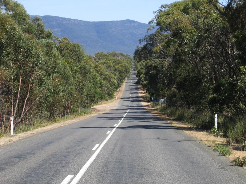
Westerly view towards Grampians from Ararat-Pomonal Road between Moyston and Pomonal
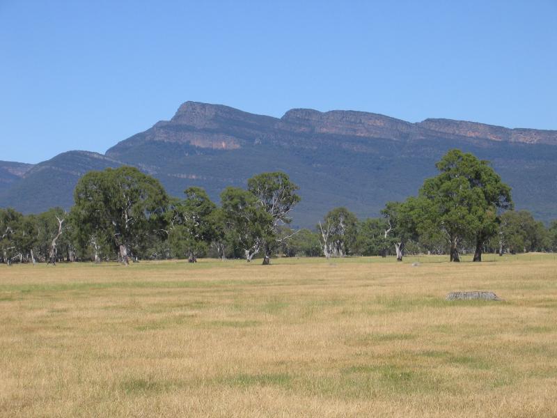
View towards Mount William Range from Ararat-Pomonal Road between Moyston and Pomonal
General store and tea rooms, Pomonal town centre
View north-west along Lake Fyans Rd, just north of Pomonal
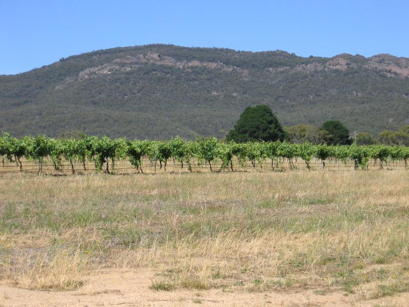
The Gap Winery, view west from Lake Fyans Rd
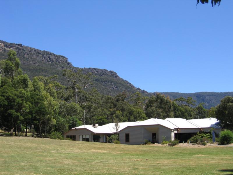
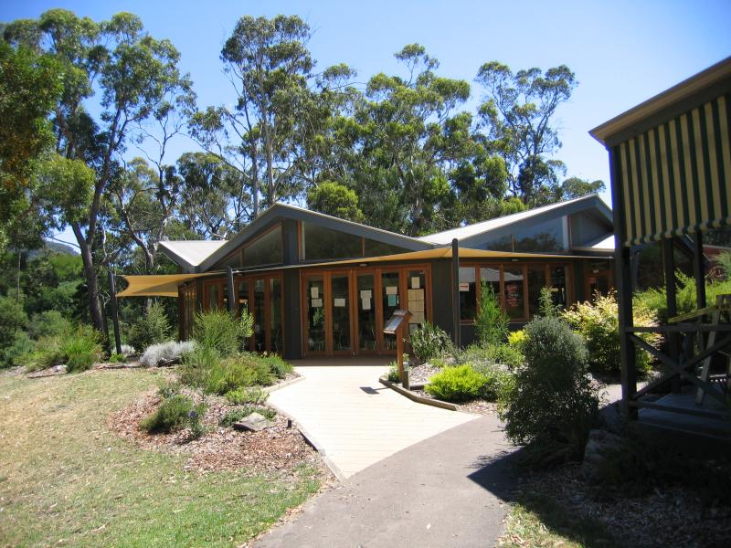
National Park Visitor Centre
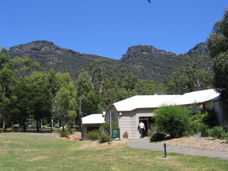
National Park Visitor Centre
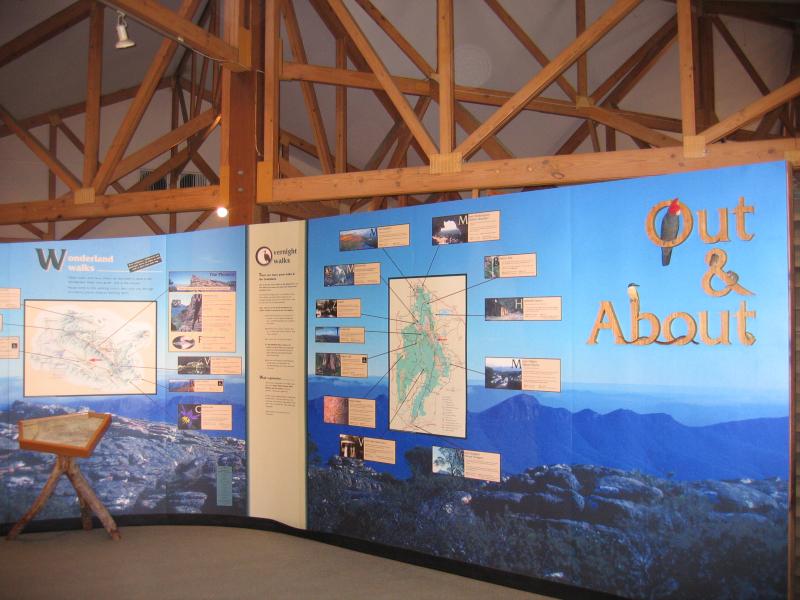
Inside visitor centre
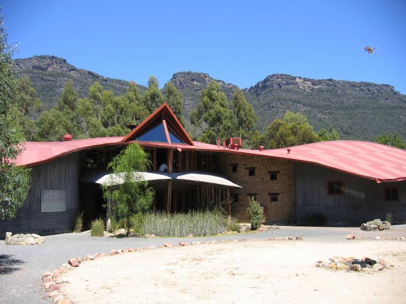
Brambuk Aboriginal Cultural Centre
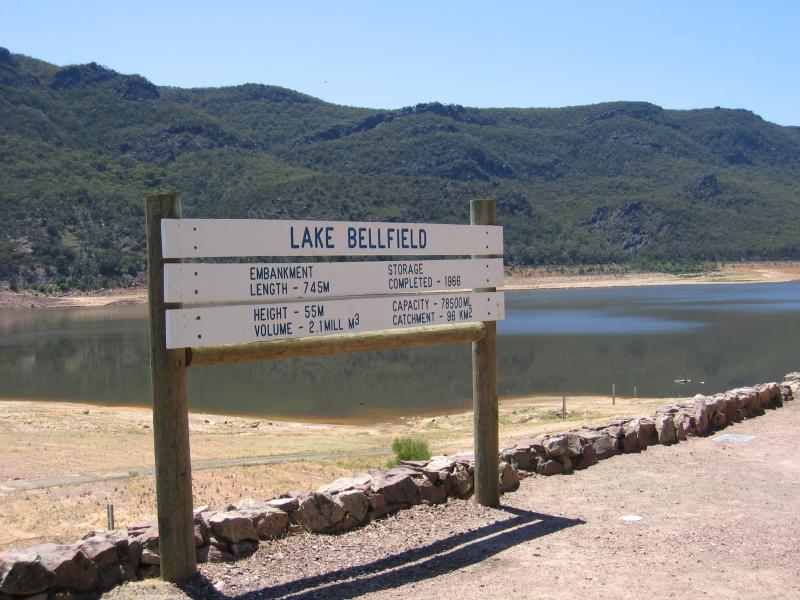
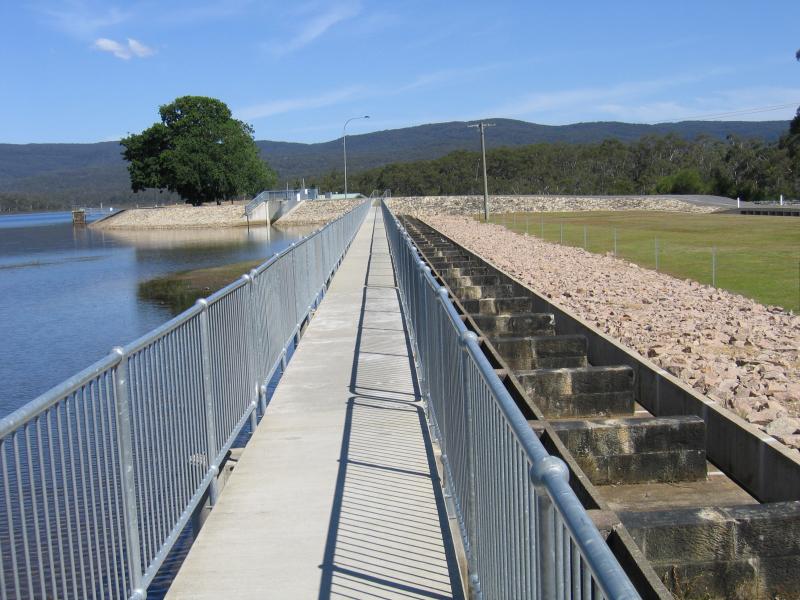
Lake Bellfield sign at dam wall, northern end of lake
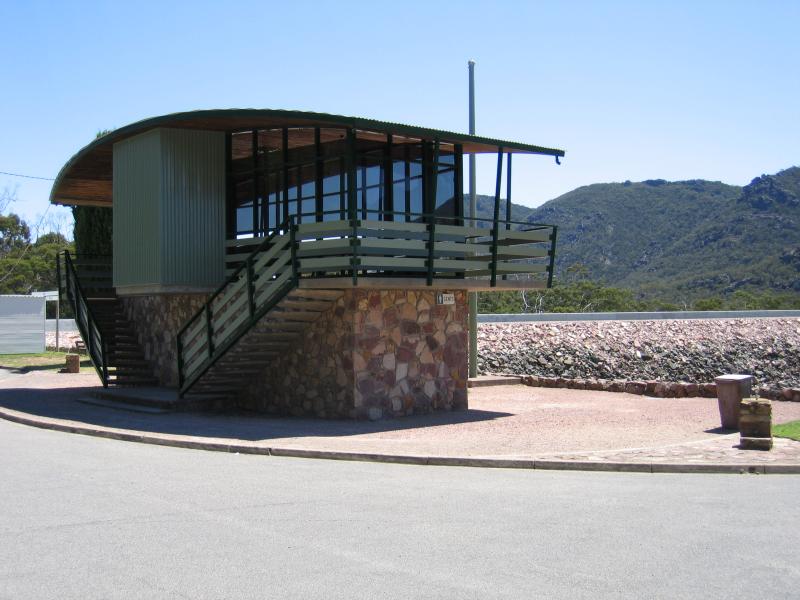
Viewing platform and toilets at dam wall
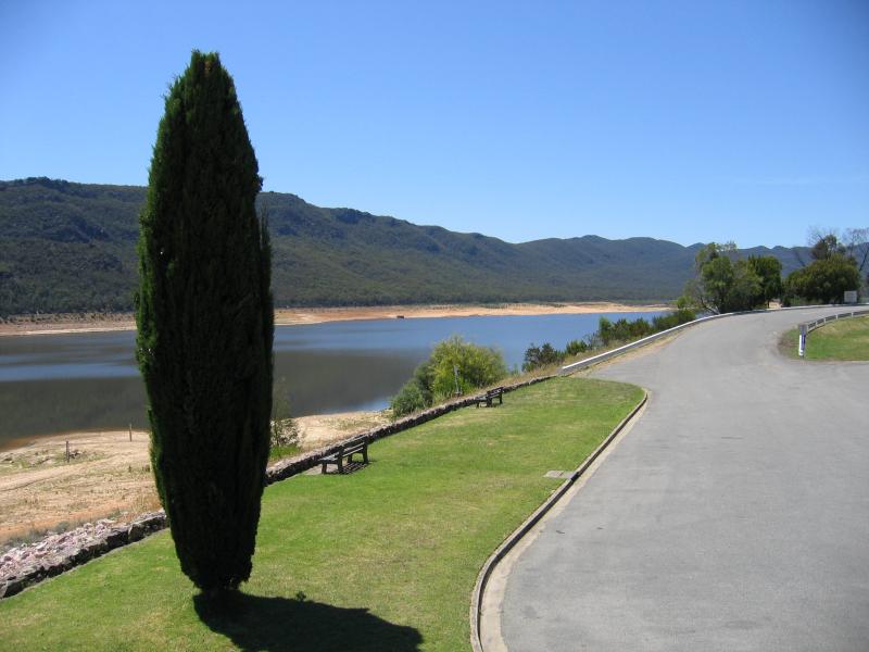
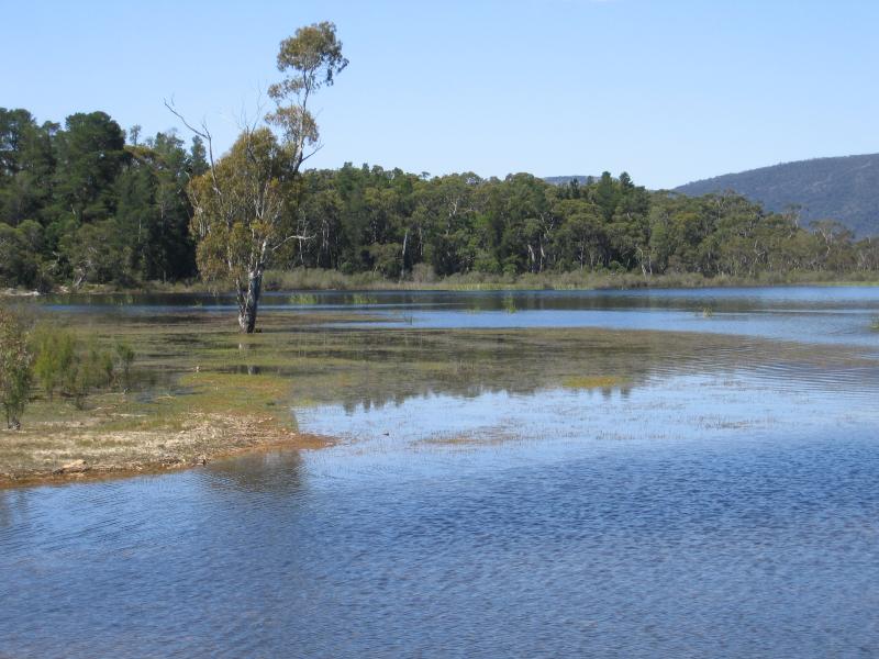
View south along lake foreshore from viewing platform
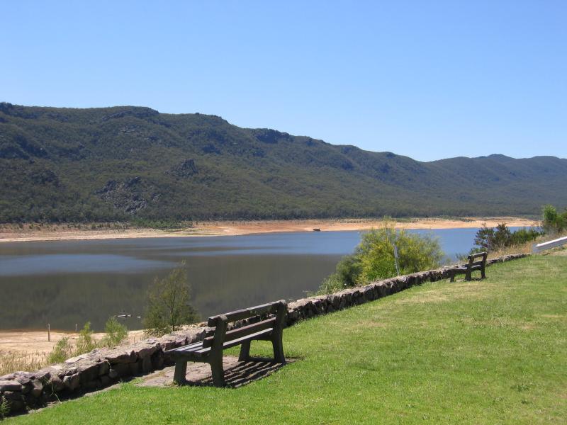
Lake foreshore near dam wall
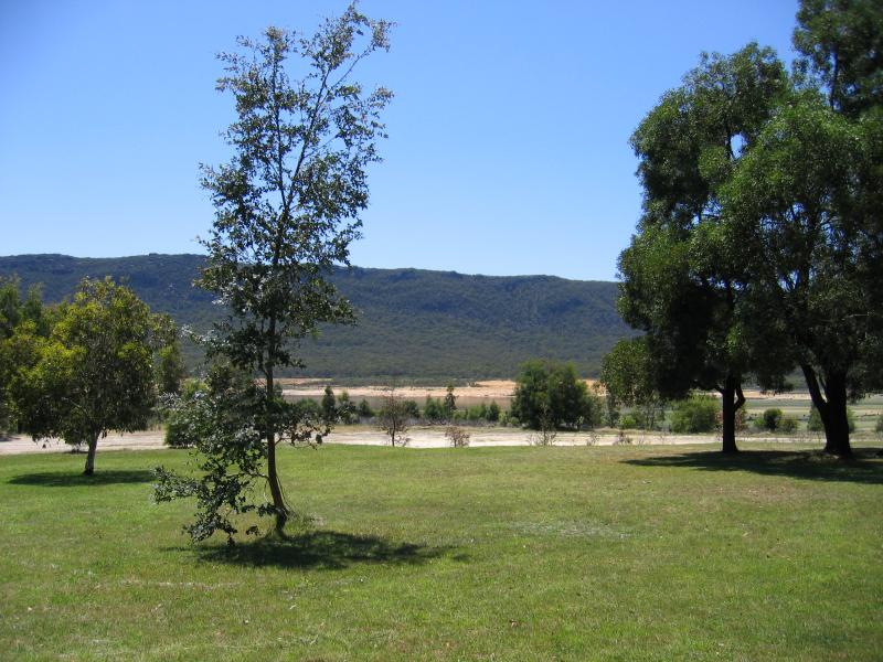
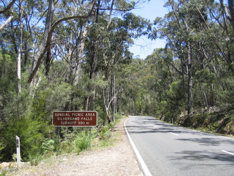
Picnic area near intersection of Grampians Rd and Silverband Rd
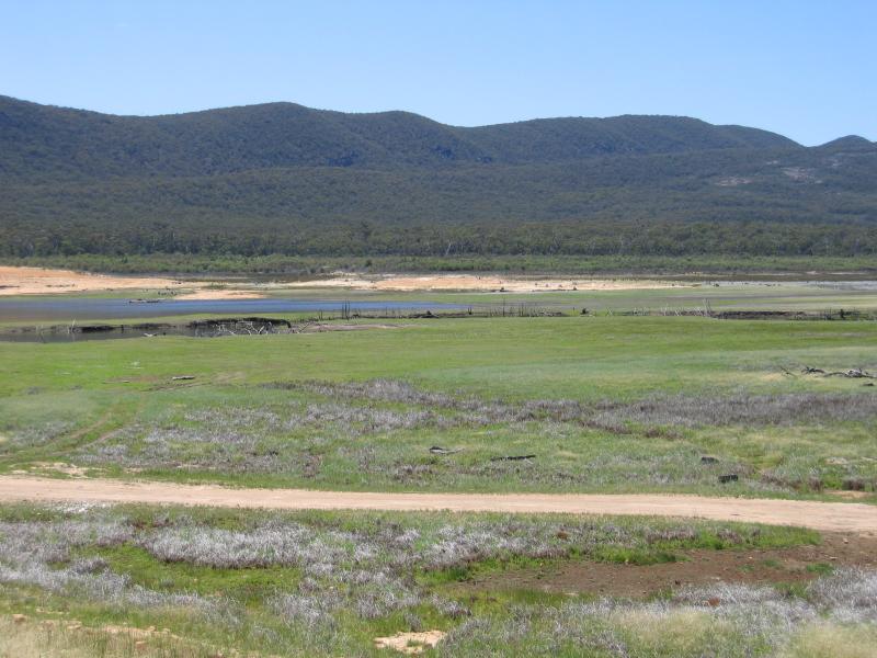
View across dry part of lake near Silverband Rd
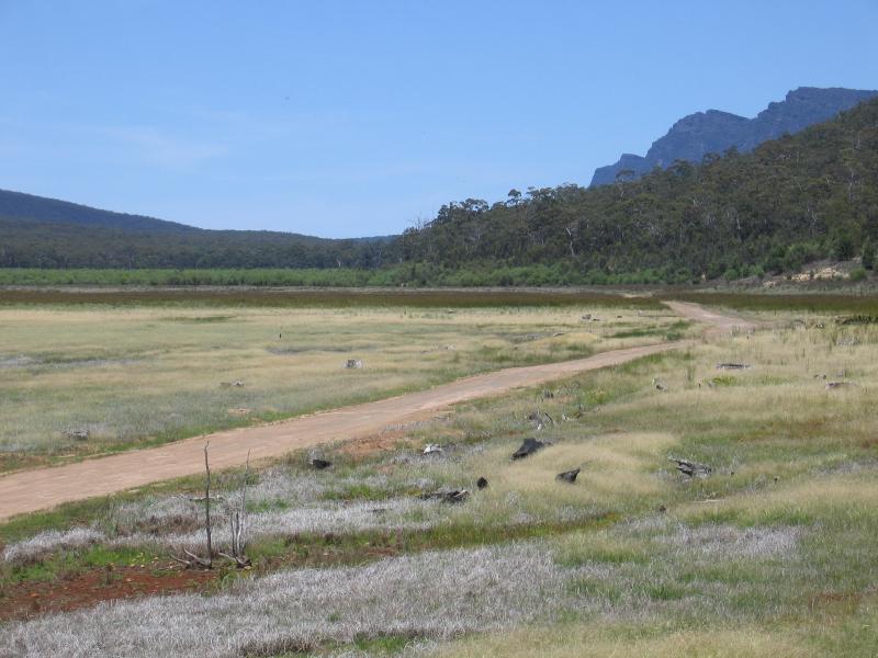
View across dry part of lake near Silverband Rd
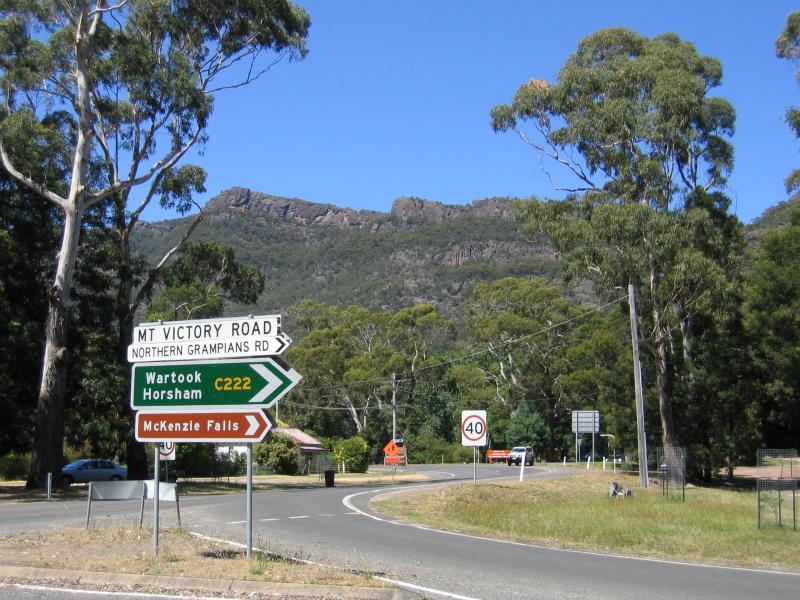
Intersection of Grampians Rd and Mt Victory Rd
View west along Mt Victory Rd near Grampians Rd
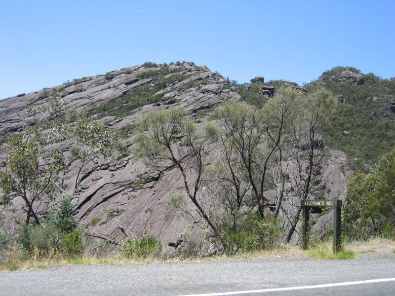
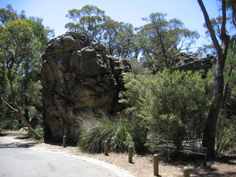
Elephants Hide rock formation, 1.5 km west of Grampians Rd
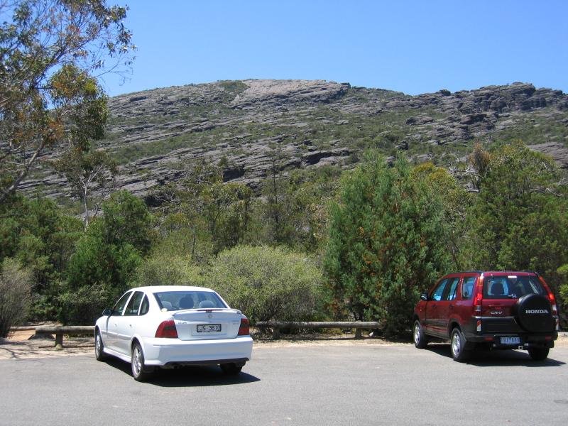
Car park
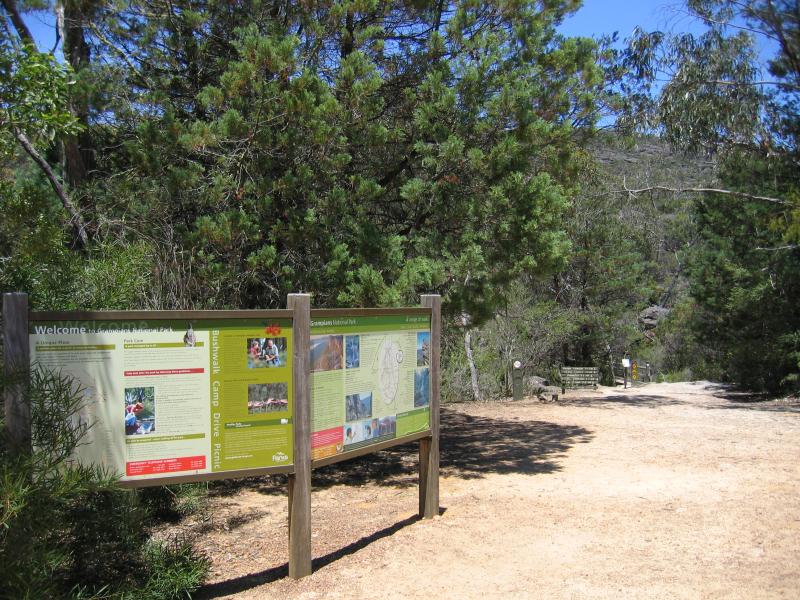
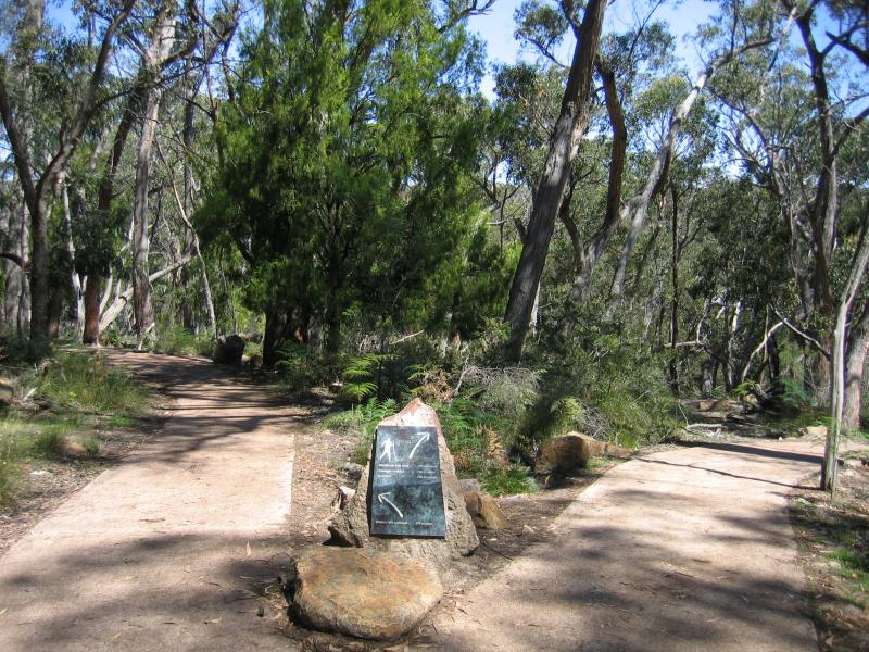
Walking trails from car park
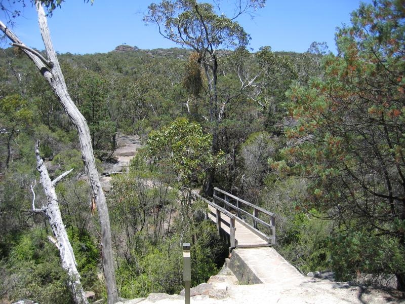
Bridge over Stony Creek
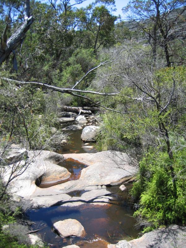
Stony Creek
View south along Mt Victory Rd towards Silverband Rd
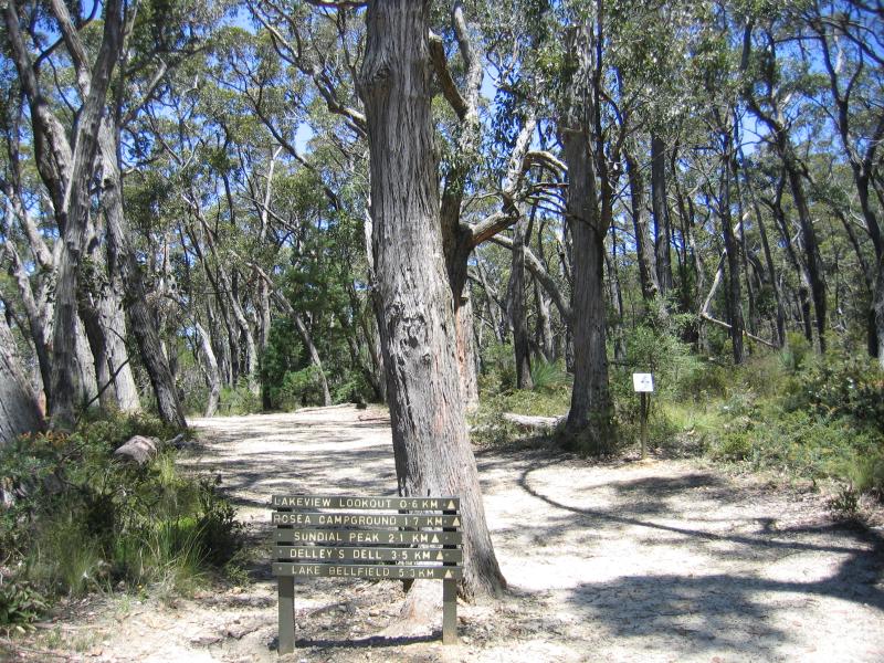
Walking tracks from car park at picnic ground
Mushroom rock at car park
Entrance to car park
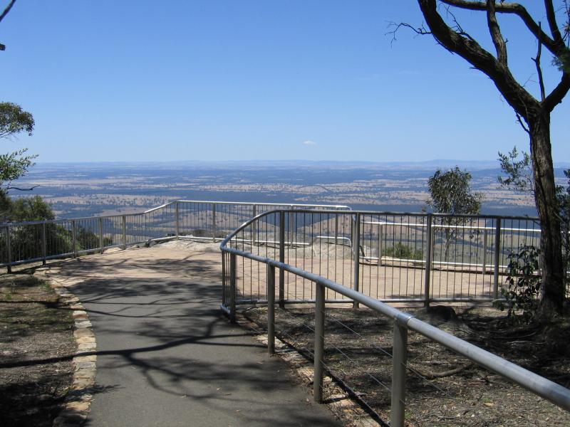
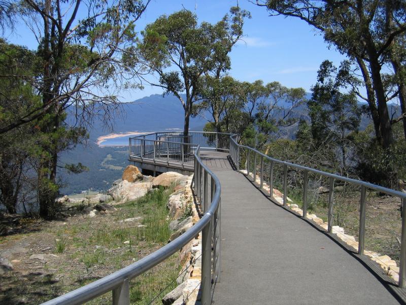
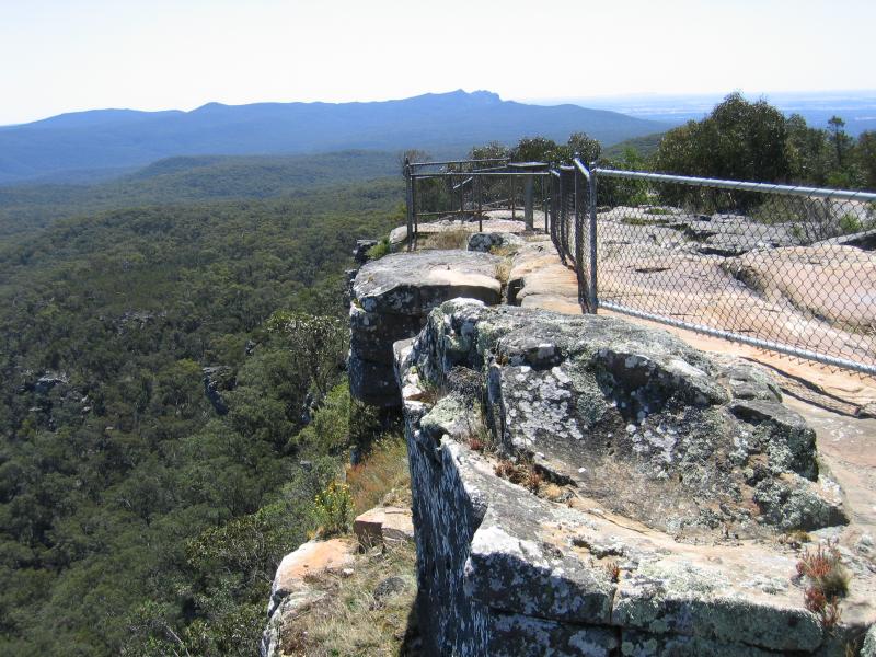
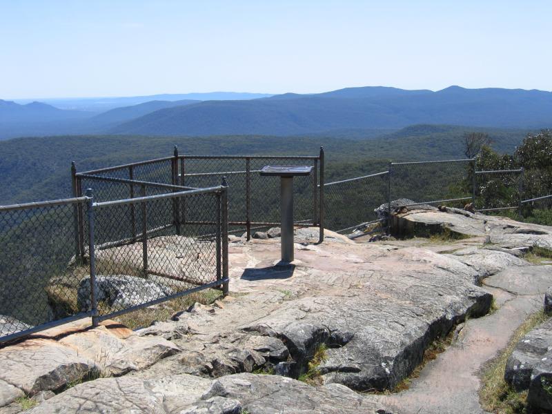
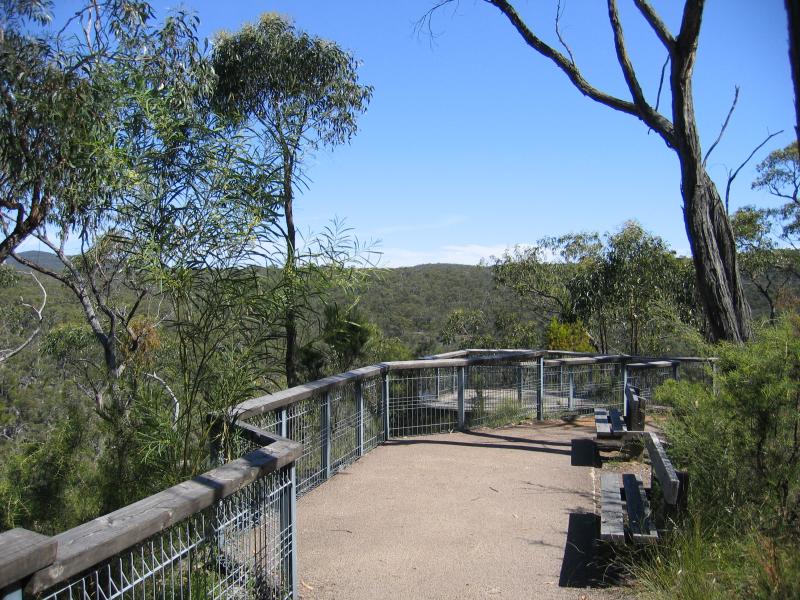
Viewing platform
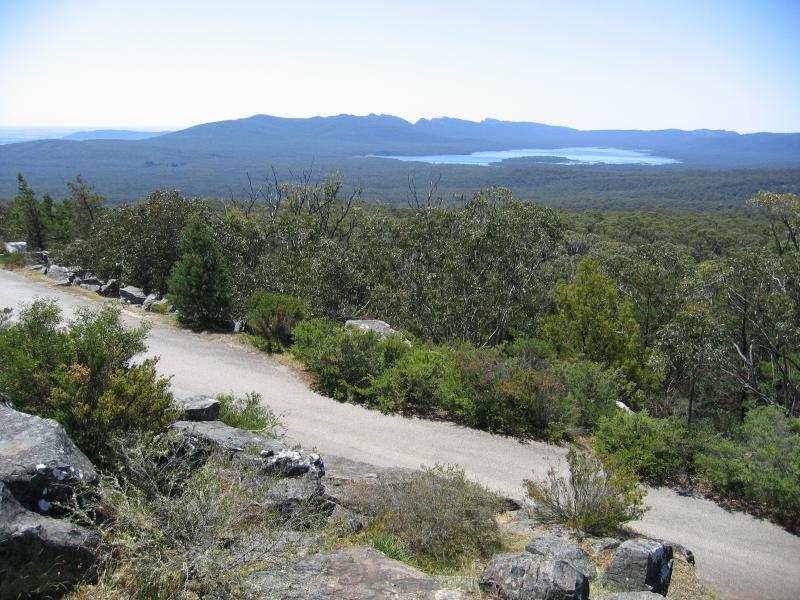
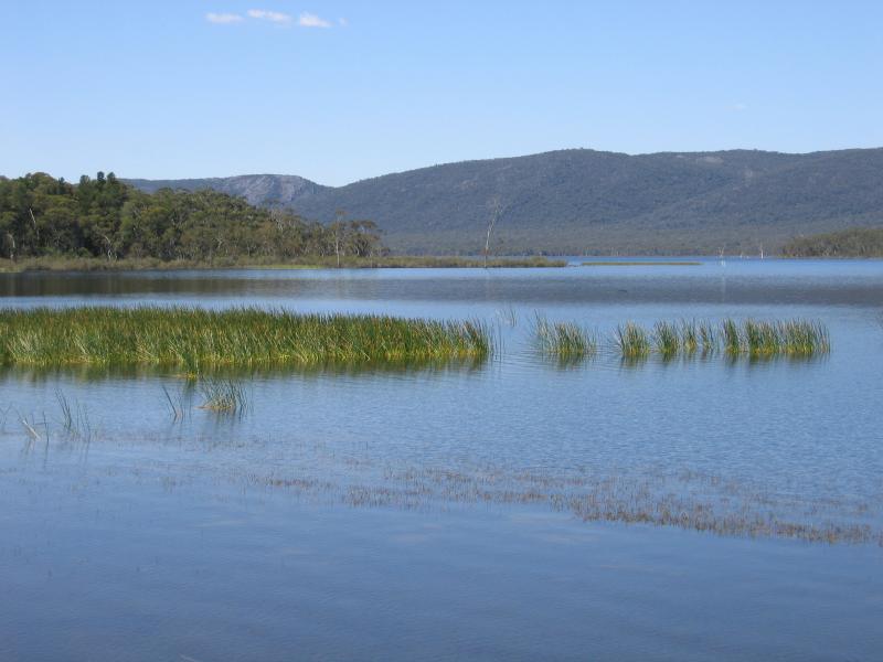
View east towards Lake Fyans
Viewing platform
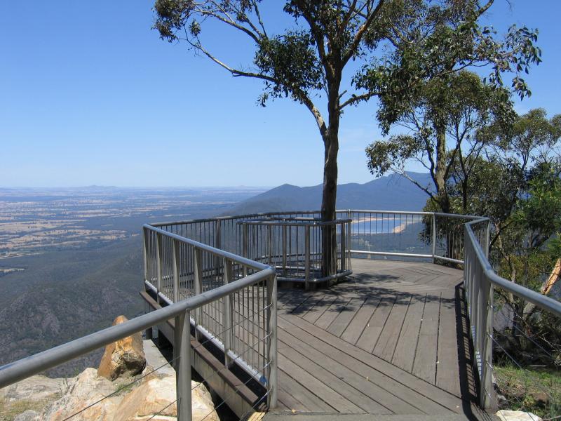
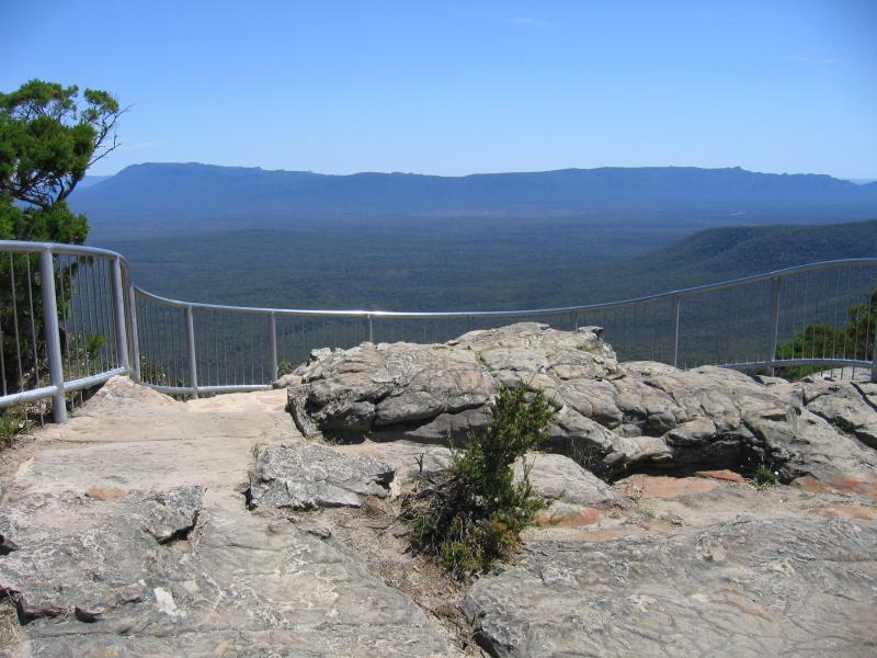
Viewing platform with Lake Bellfield in background
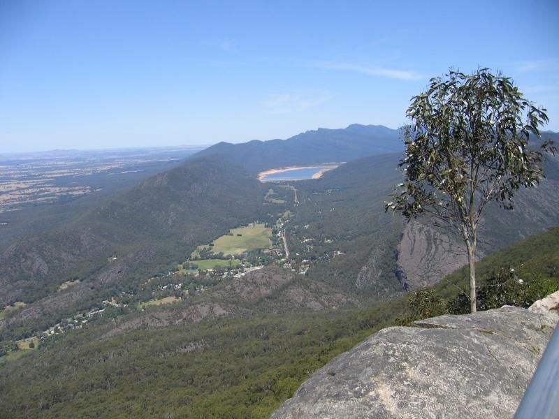
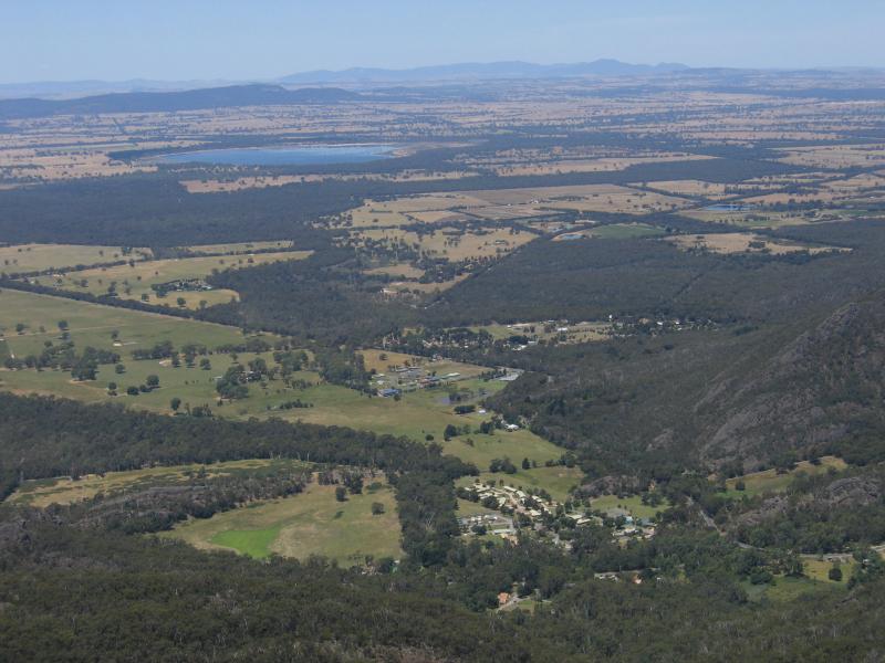
View south to Halls Gap town centre and Lake Bellfield
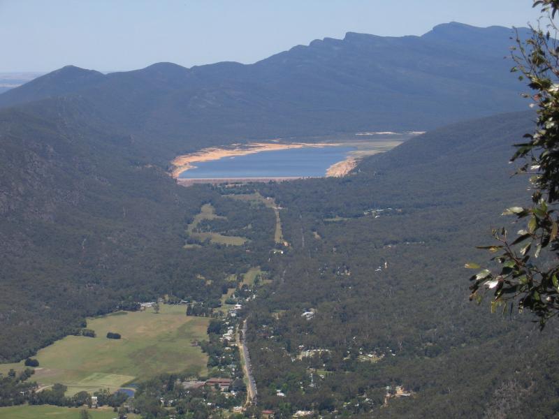
View south to Lake Bellfield
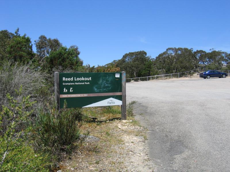
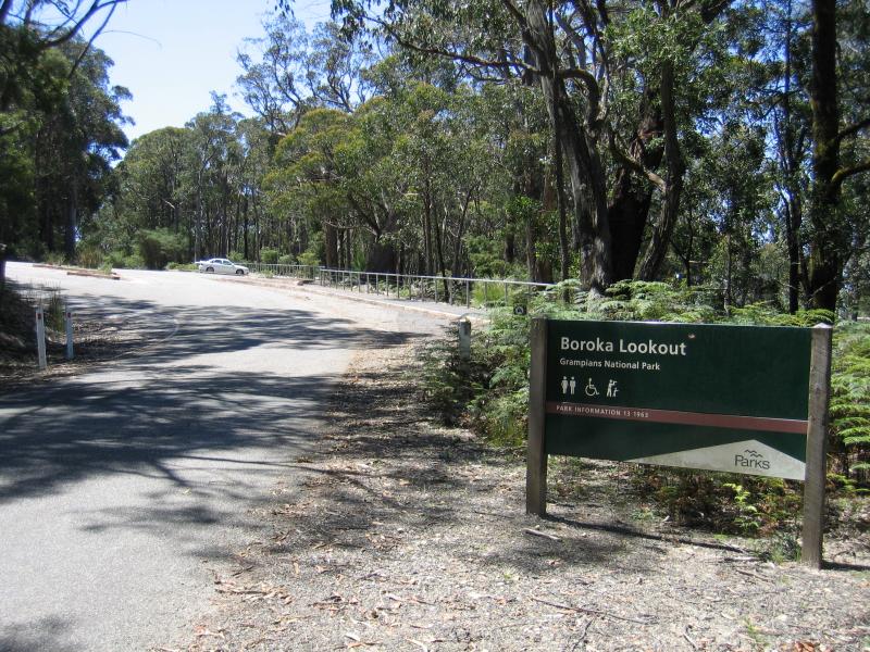
Car park entrance
Westerly views
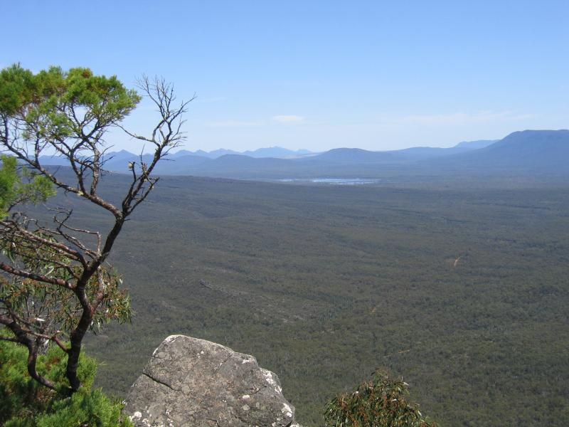
View south towards Moora Moora Reservoir
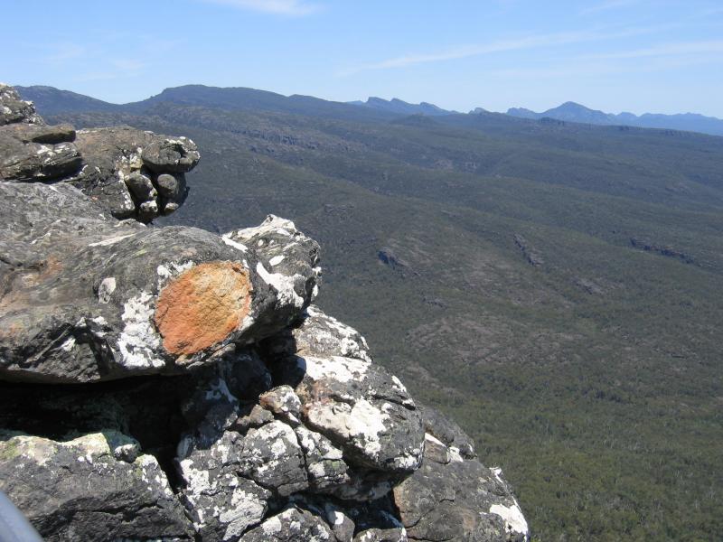
View of mountain range
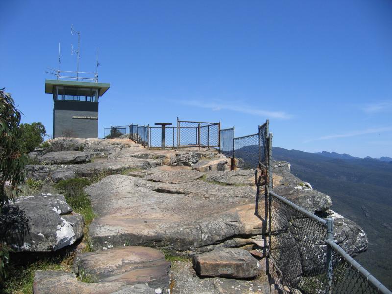
Fire lookout tower
Rocky ledges new fire lookout tower
Rocky ledges new fire lookout tower
View north towards Lake Wartook
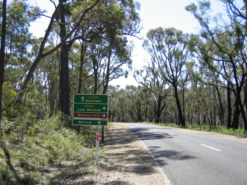
View north-west along Northern Grampians Rd towards Wartook Rd
Kiosk at car park
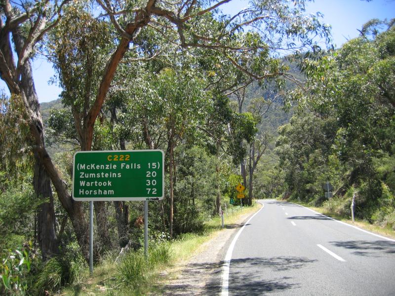
Walking track to Broken Falls and MacKenzie Falls
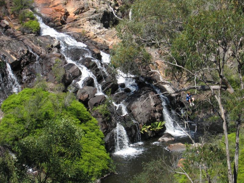
Broken Falls
Broken Falls
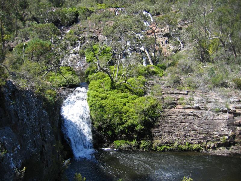
MacKenzie Falls lookout
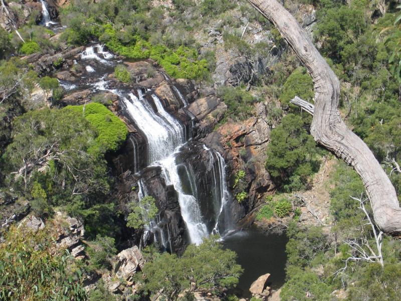
View of MacKenzie Falls from lookout
Dam wall
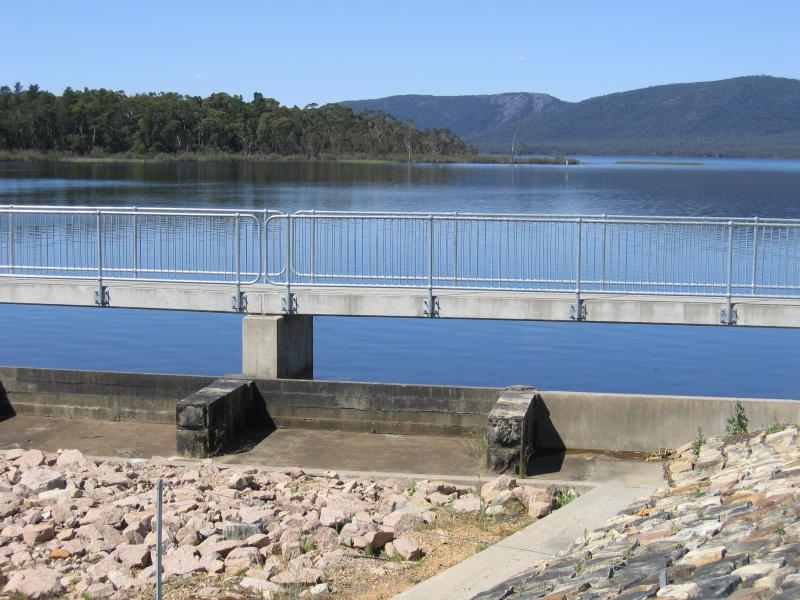
View across lake from dam wall
Lake
Lake