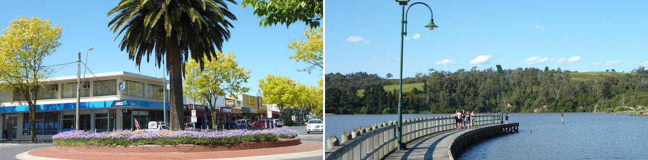
Moe - photos
Moe
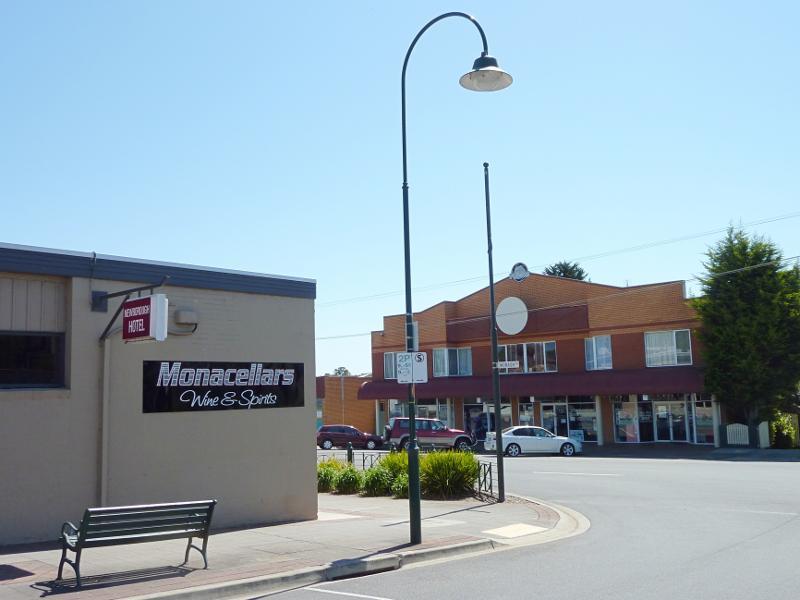
Stay
See and do
Food and drink
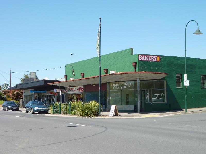
Shopping
Getting around
Visitor information
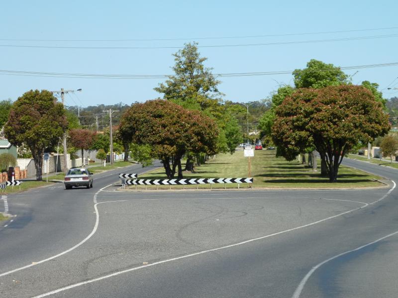
View south along Moore St at Haigh St
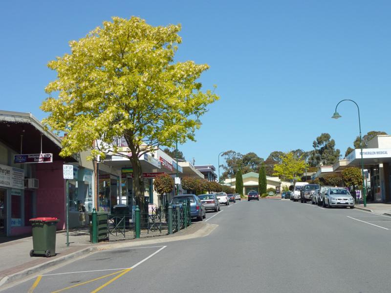
View south along Moore St between Haigh St and Albert St
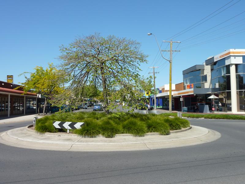
View south along Moore St towards Albert St
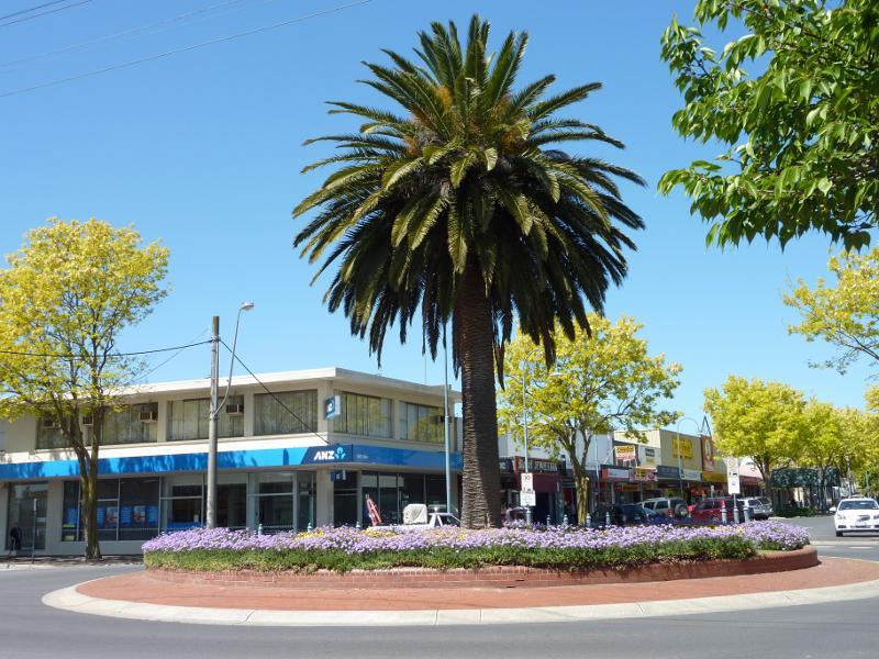
View south along Moore St at Albert St
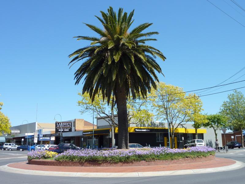
South-west corner of Moore St and Albert St
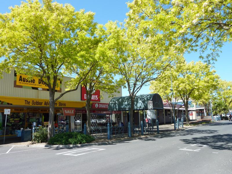
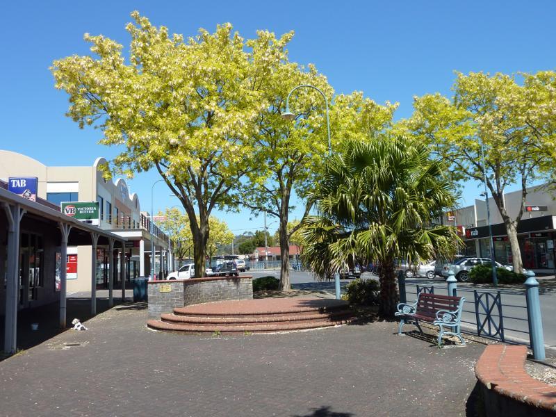
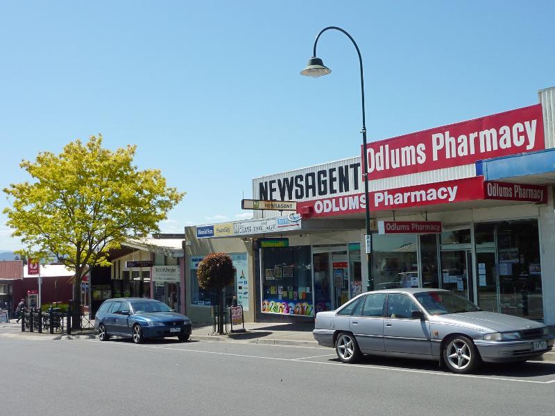
Eastern side of Moore St between Albert St and George St
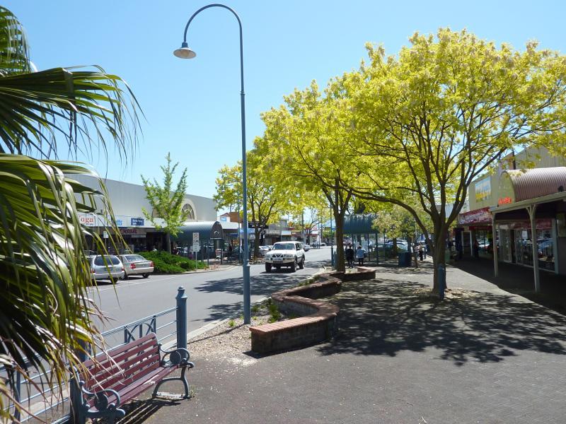
View south along Moore St between Albert St and George St
Western side of Moore St between Albert St and George St
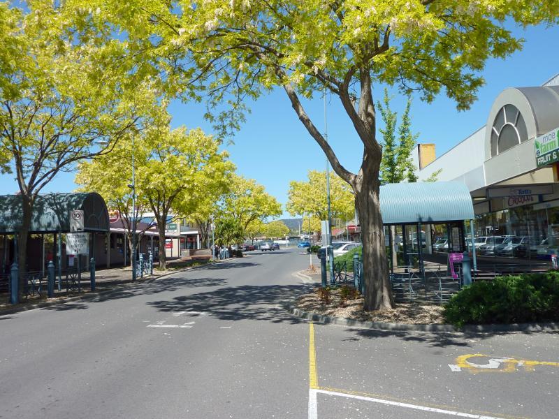
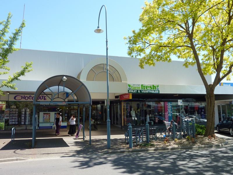
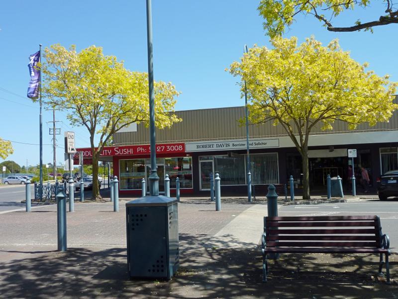
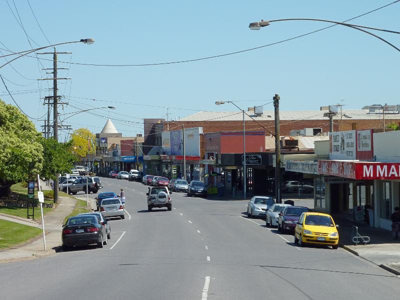
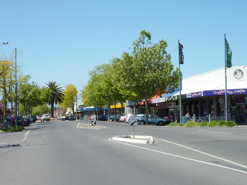
View north along Moore St between George St and Albert St
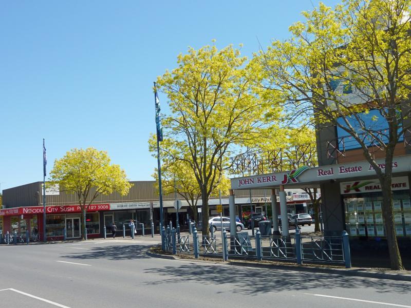
View north along Moore St between George St and Albert St
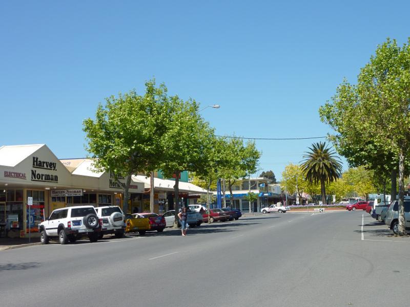
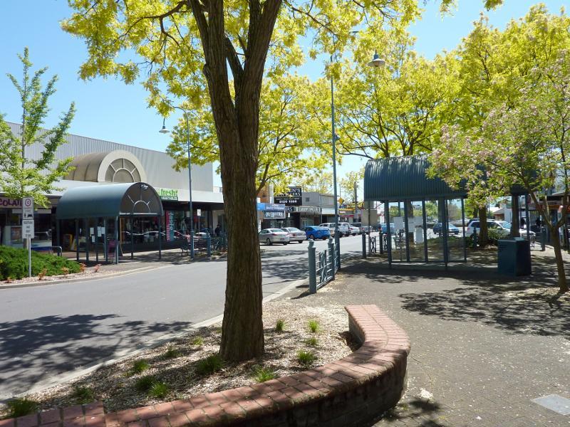
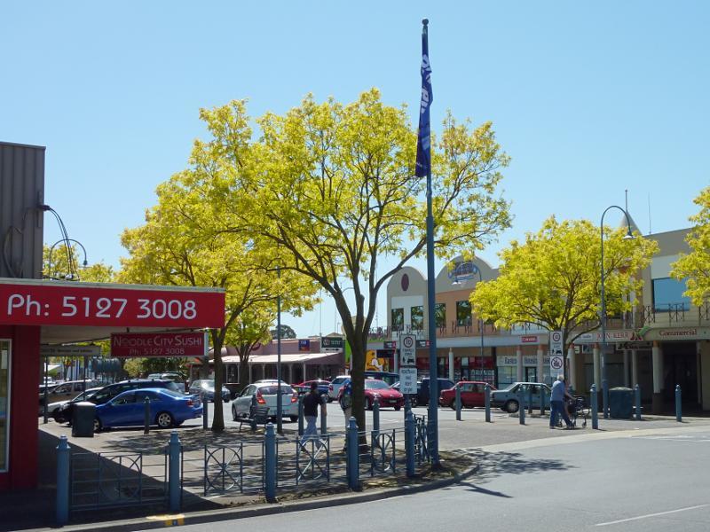
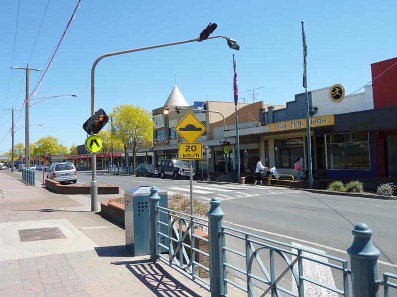
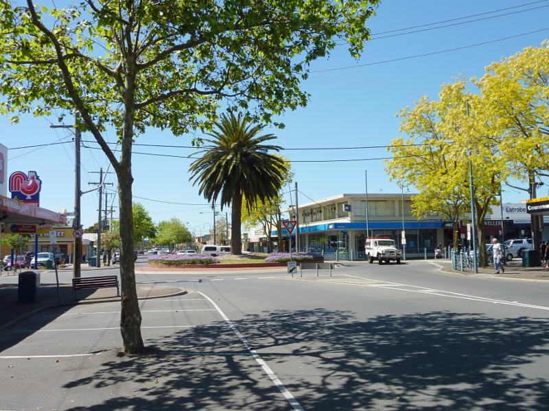
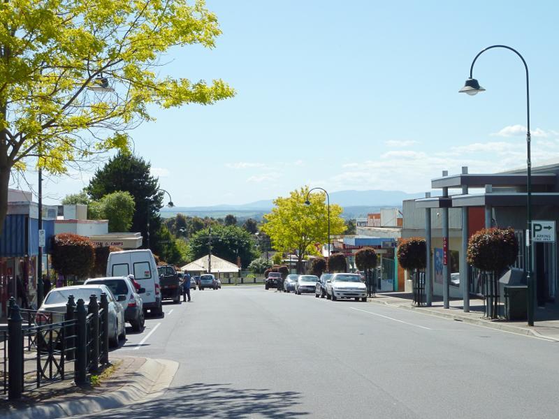
View south along Moore St towards George St
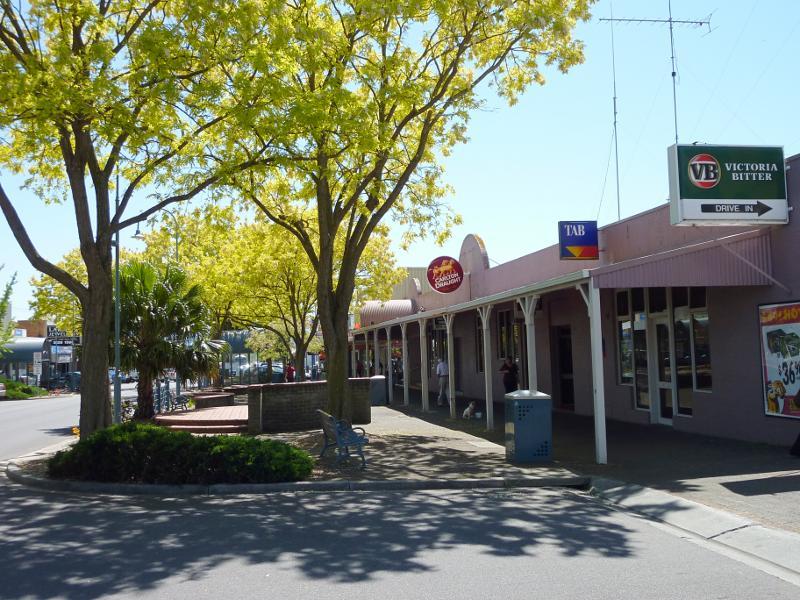
Mid City Tavern, view north along Moore St

View east across Moore St at George St
View west across Moore St at George St
View north along Moore St at George St
North side of George St at Moore St
View west along George St at pedestrian crossing towards Moore St
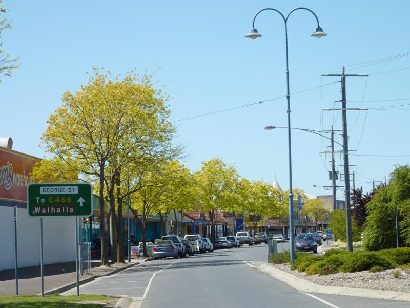
View west along George St towards Kirk St
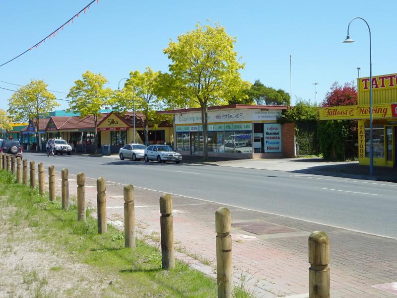
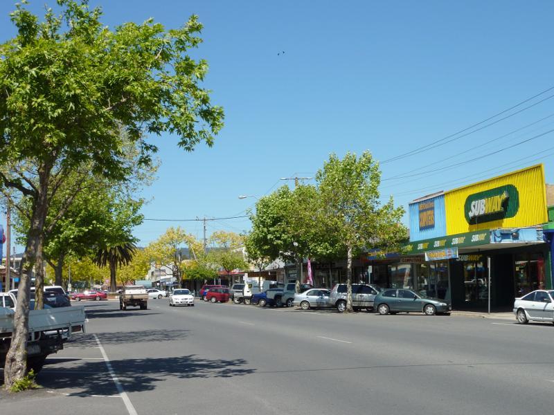
View west along George St between Moore St and Saviges Rd
View east along George St at Saviges Rd
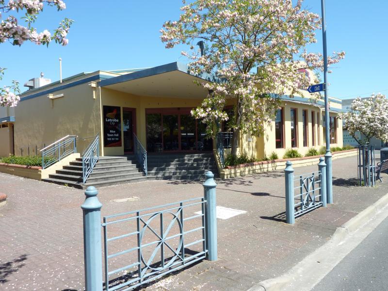
Moe Town Hall, Albert St between Moore St and Kirk St
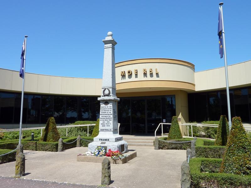
Entrance to Moe RSL, Albert St between Moore St and Kirk St
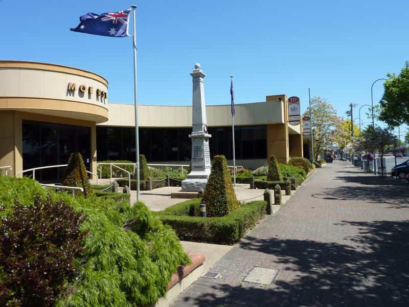
View west along Albert St at Moe RSL
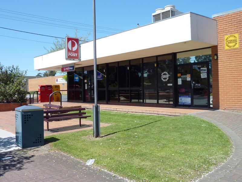
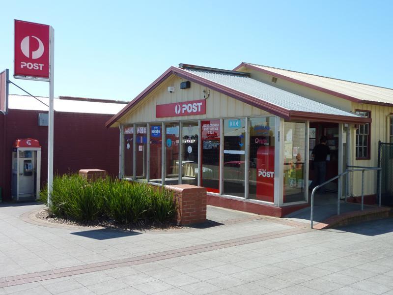
Moe Post Office, corner Albert St and Kirk St
View east along Albert St towards Moore St
View east along Albert St towards Market St
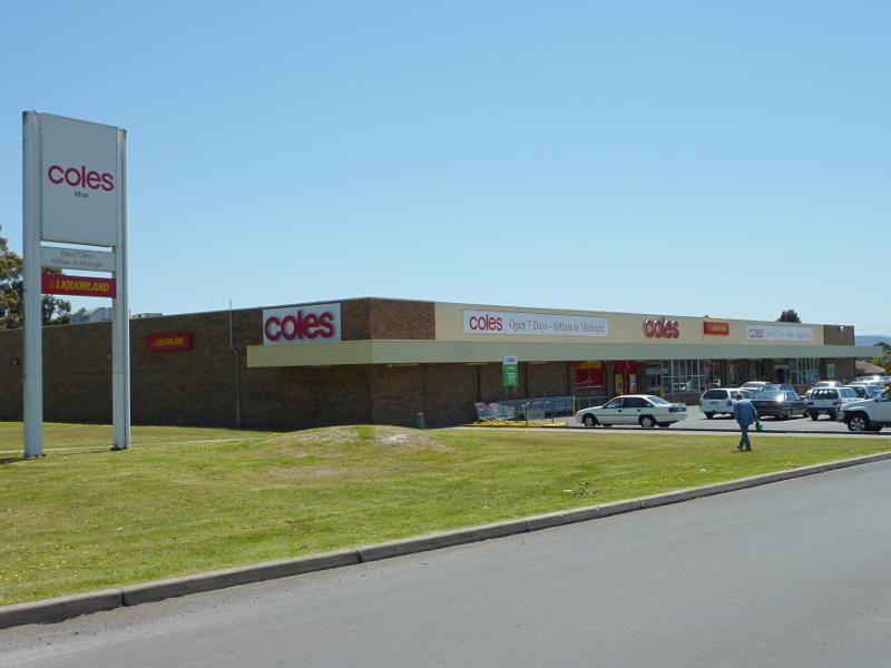
Coles supermarket, Albert St west of Market St
View west along Moore St opposite station (redevelopment area)
View north along walkway on east side of station
View south along walkway on east side of station towards Lloyd St
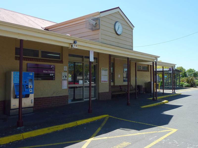
Station entrance at car park
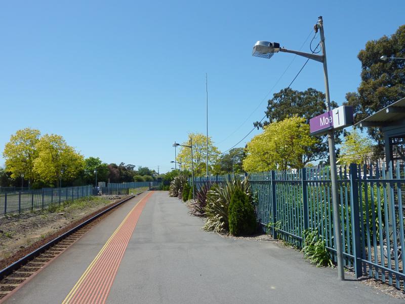
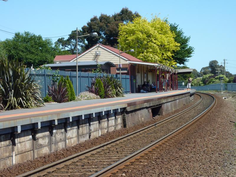
View east along station platform
View west along railway line towards station
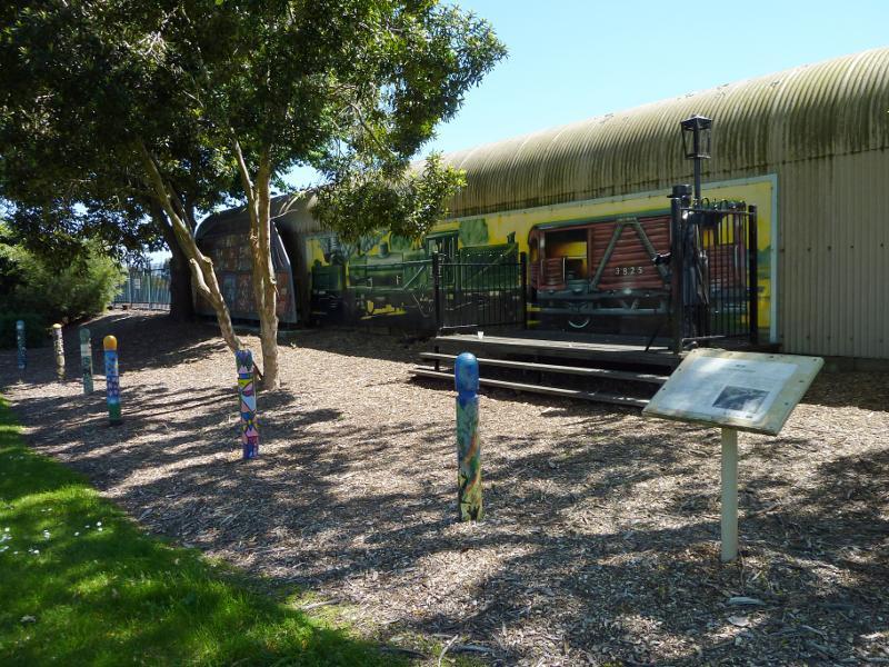
Mural on station platform facing park on west side of station
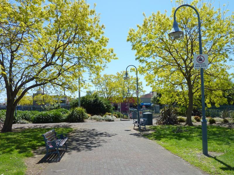
View south through park west of Fowler St towards Moe Courthouse
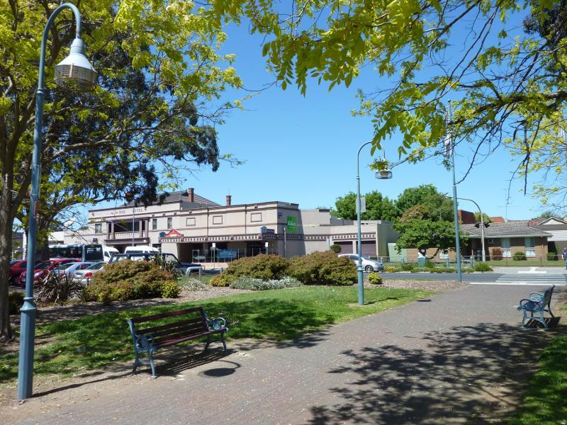
View east along Lloyd St at Fowler St towards Moe Hotel
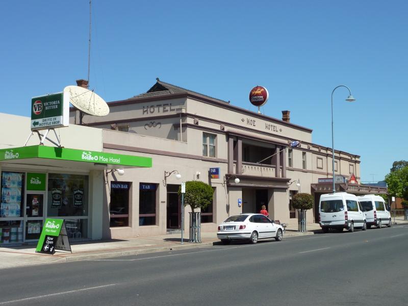
Moe Hotel, Lloyd St east of Fowler St
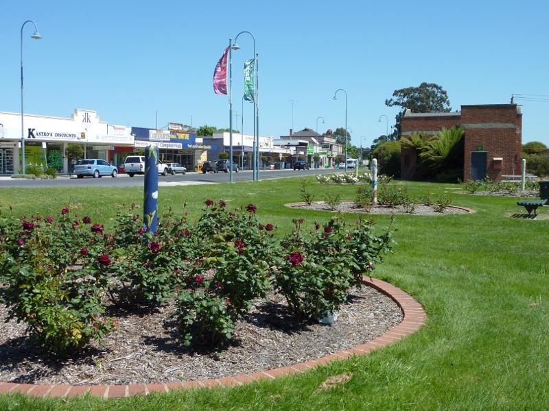
View west through rose gardens, Lloyd St near Linton Av
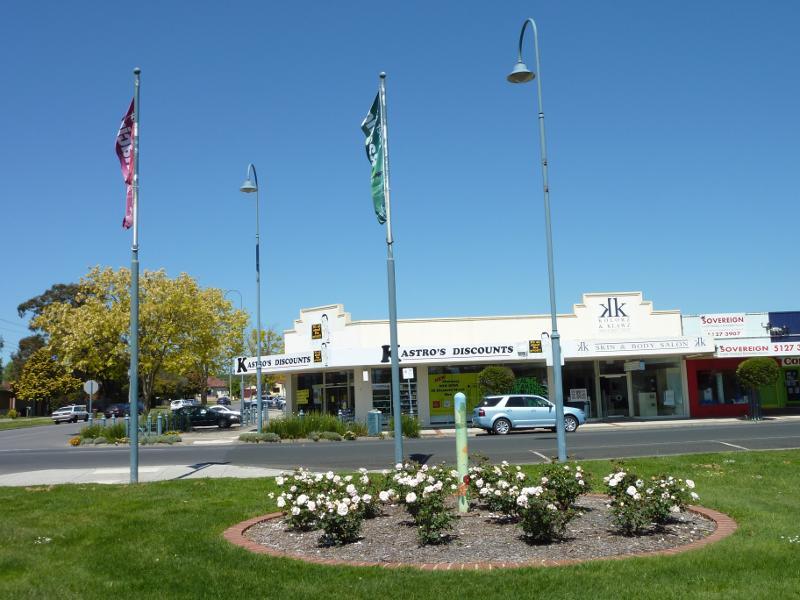
View south through rose gardens towards Lloyd St at Linton Av
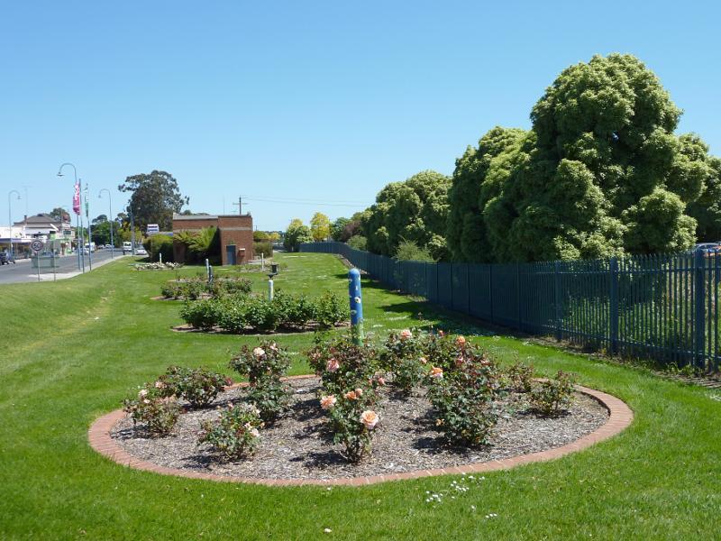
View west through rose gardens, Lloyd St east of Linton Av
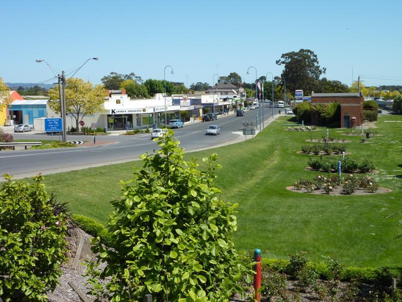
View west along Lloyd St and rose gardens at High St
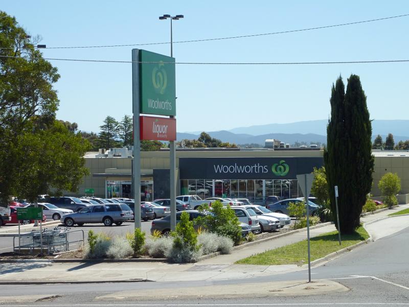
Woolworths supermarket, corner Anzac St and George St
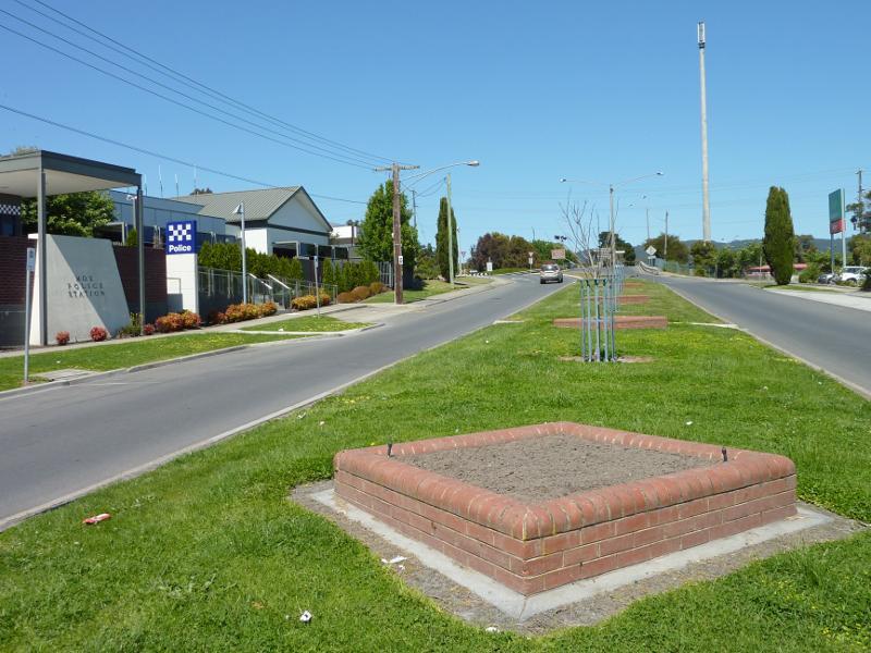
View south along Anzac St at Moe Police Station towards George St
View north along Anzac St towards Haigh St
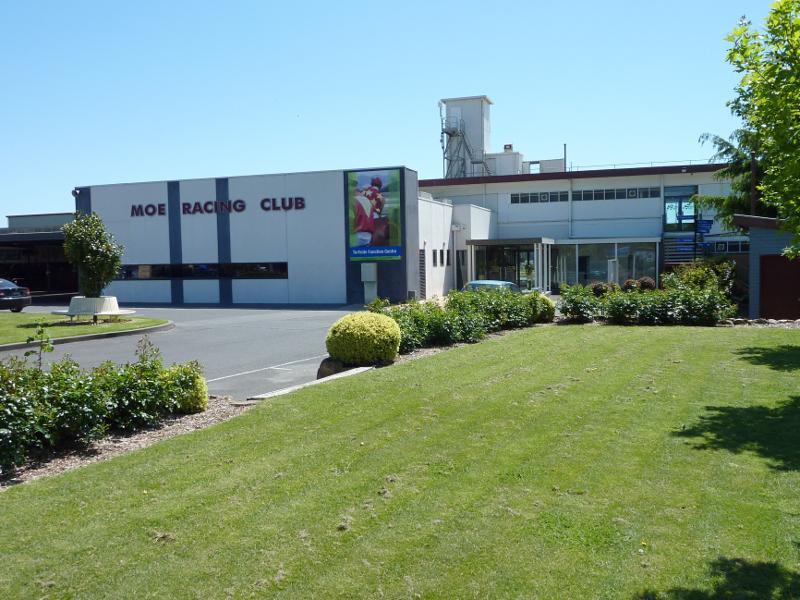
Entrance to Moe Racing Club, Waterloo Rd
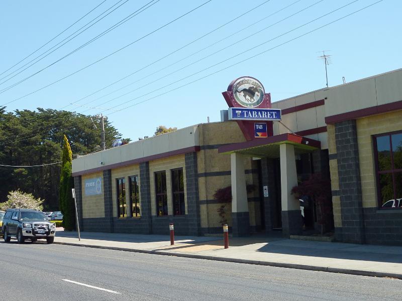
Moe Racing Club Taberet, Waterloo Rd
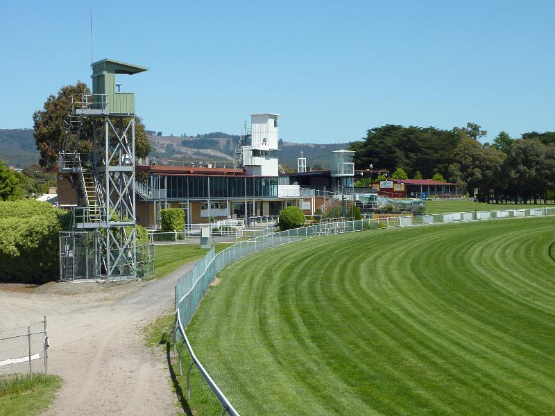
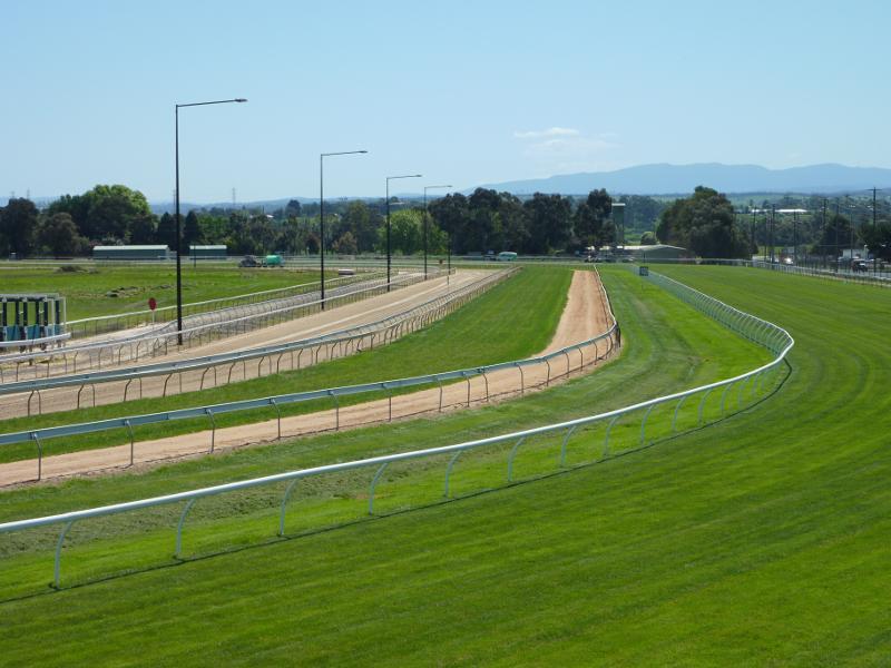
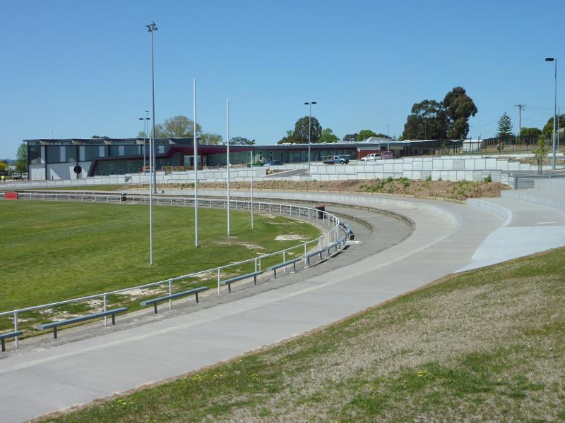
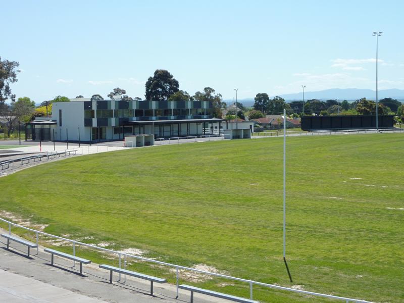
View across racecourse towards grandstand
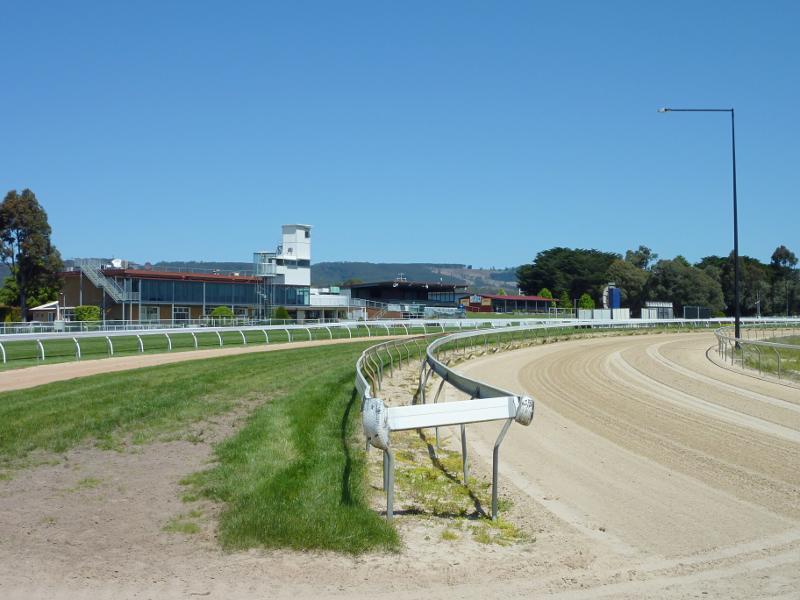
View along race track in front of grandstand
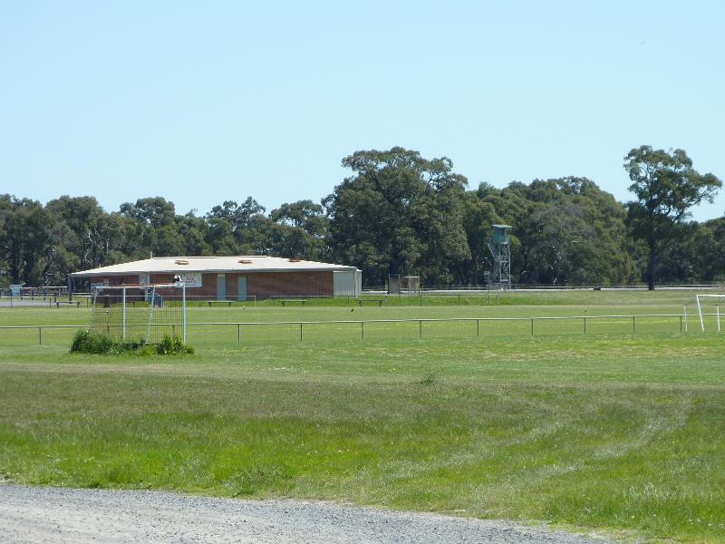
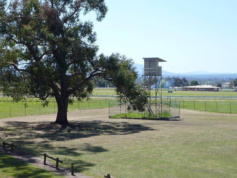
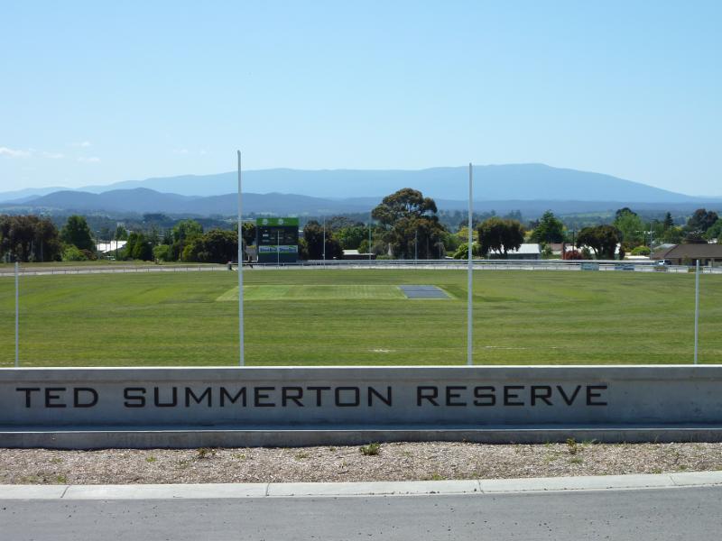
Sports oval in centre of race track
View north-west along race track parallel to Saviges Rd
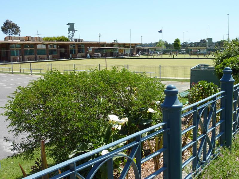
Moe Bowling club viewed from corner of Waterloo Rd and Saviges Rd
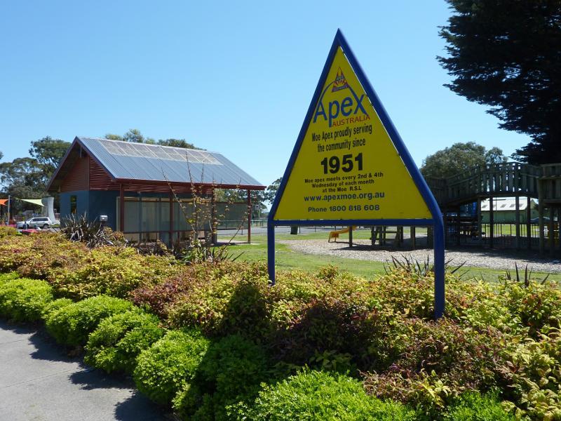
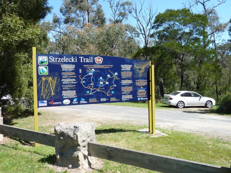
Apex Park viewed from Waterloo Rd
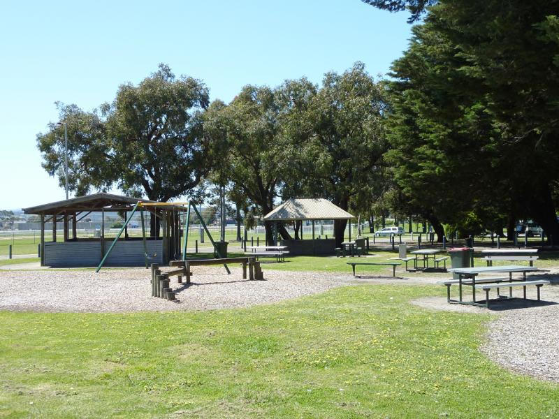
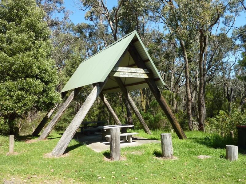
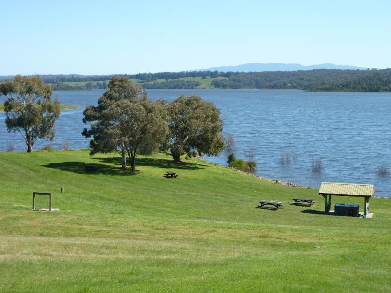
Picnic area, shelters and playground, Apex Park
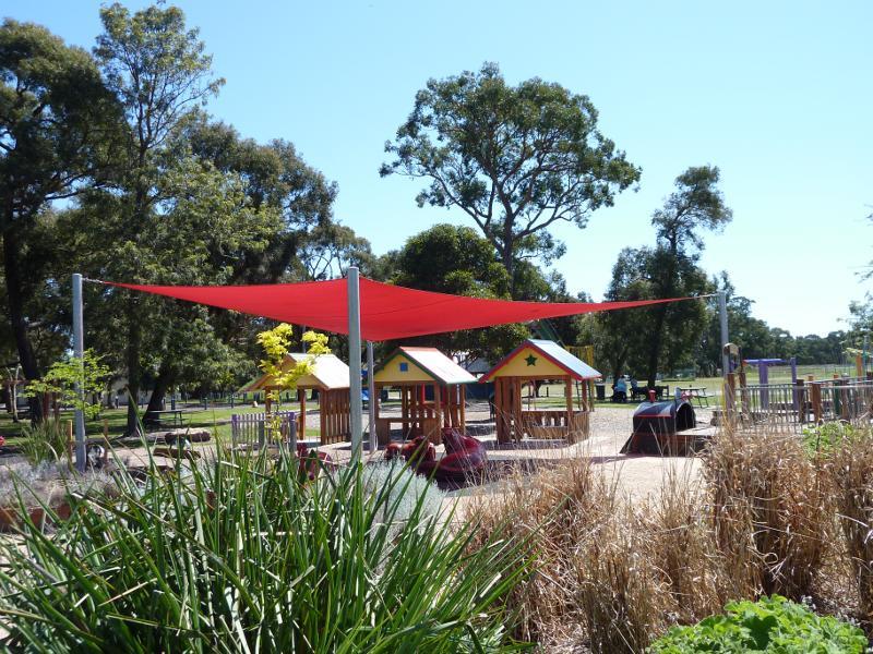
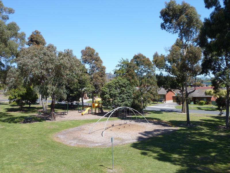
Adventure playground at Lions Park
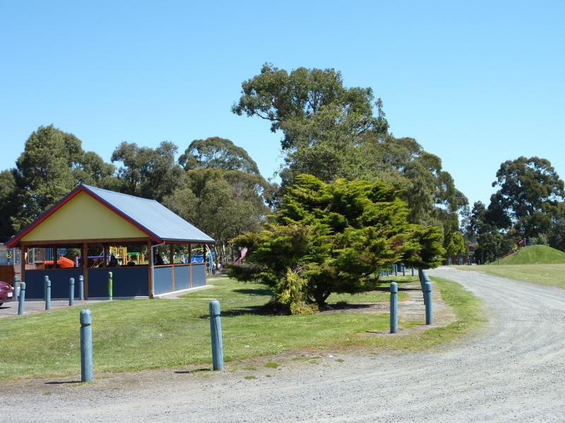
Shelter beside playground at Lions Park
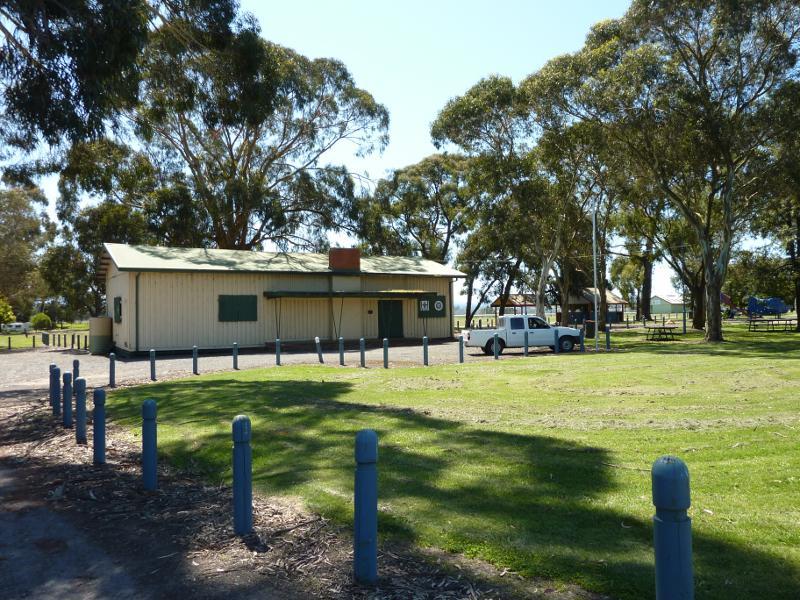
Scouts hall, Lions Park
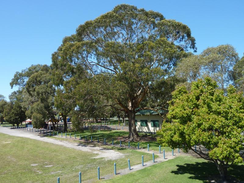
View through Lions Park
Playground at corner of Waterloo Rd and Mitchells Rd
View towards racecourse from Lions Park
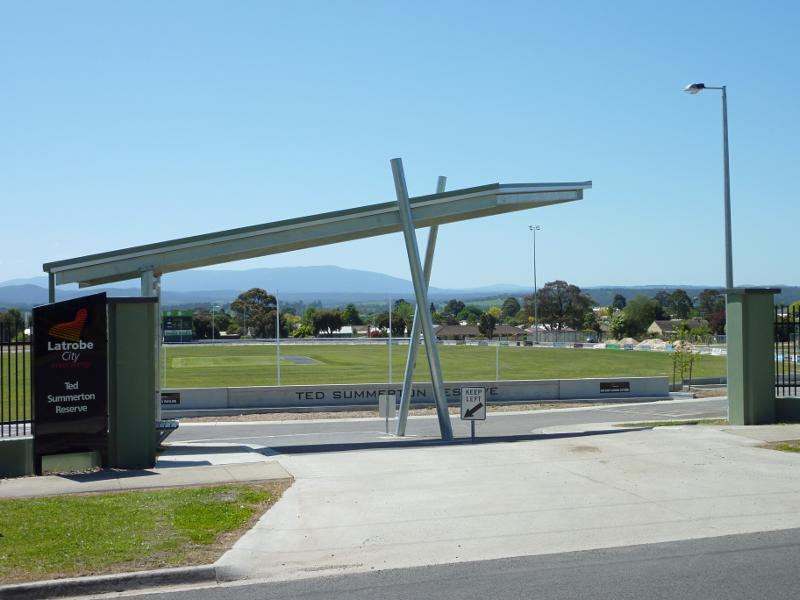
South St entrance
View north across oval near entrance at South St
North-easterly view from southern side of oval
North-westerly view from southern side of oval
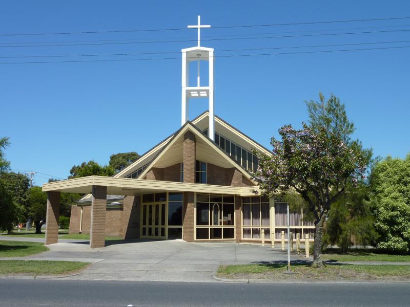
St Kieran's catholic church, corner Waterloo Rd and Wirraway St
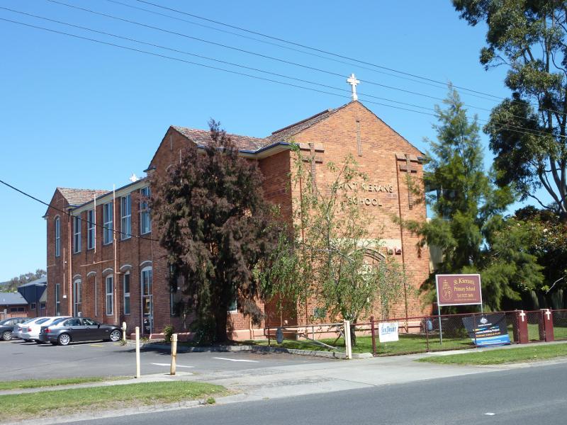
St Kieran's Primary School, Waterloo Rd
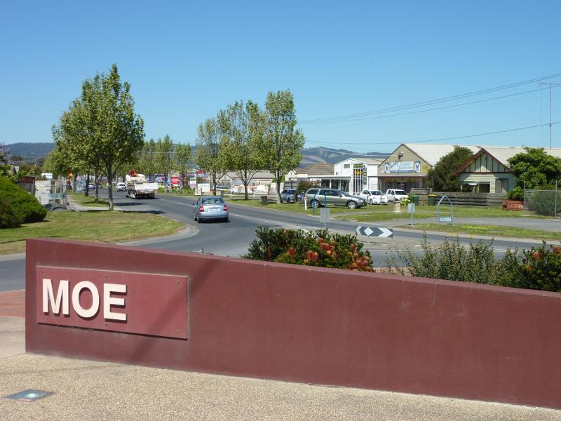
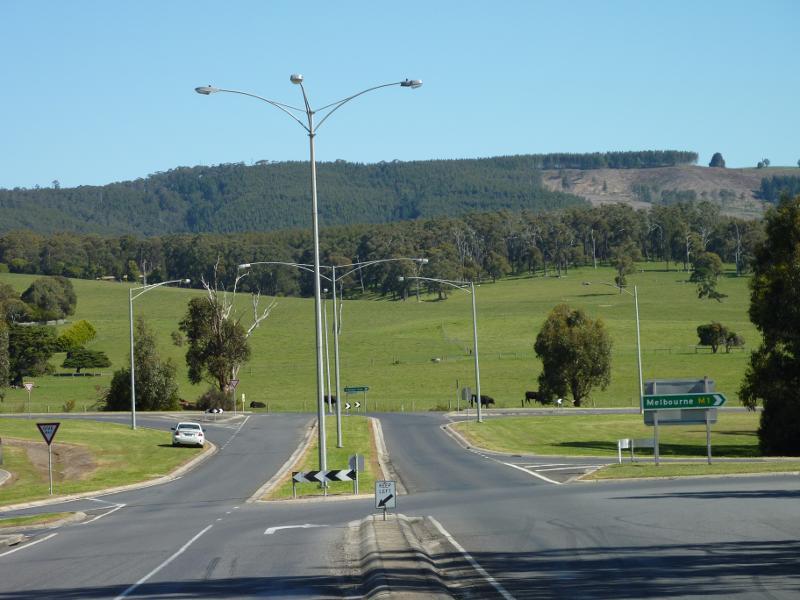
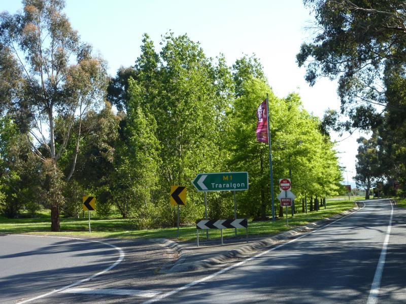
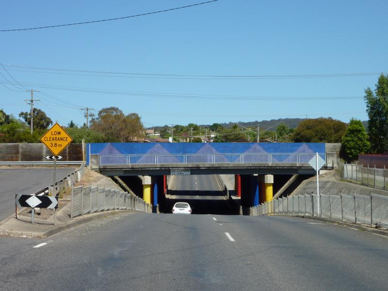
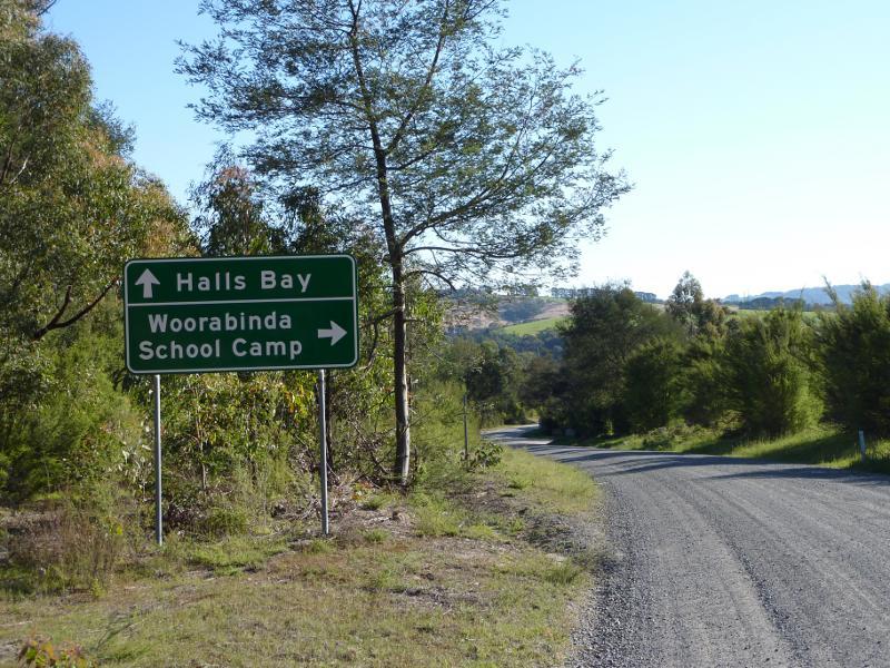
Moe sign, view south along Moore St at Old Sale Rd
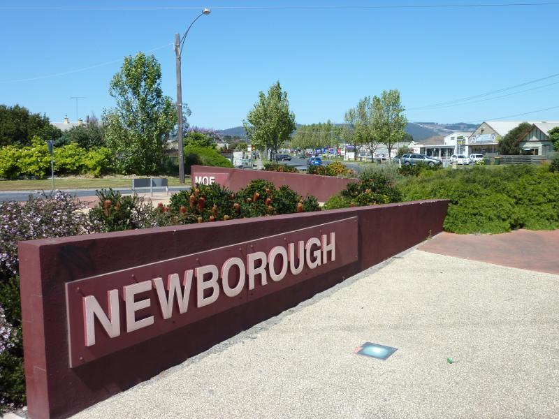
Newborough sign at junction of Moore St and Old Sale Rd
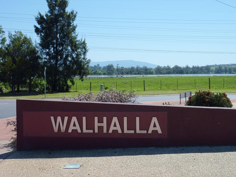
Walhalla sign, Walhalla Rd at Moore St, view north towards sewage treatment works
View south along Old Gippstown Dr towards Mountain Glen Dr
South-east corner of Old Gippstown Dr and Mountain Glen Dr
South-easterly view from Mountain Glen Dr towards houses along Watsons Rd
Southerly view from Mountain Glen Dr at Old Gippstown Dr

South-westerly view from Mountain Glen Dr at Old Gippstown Dr
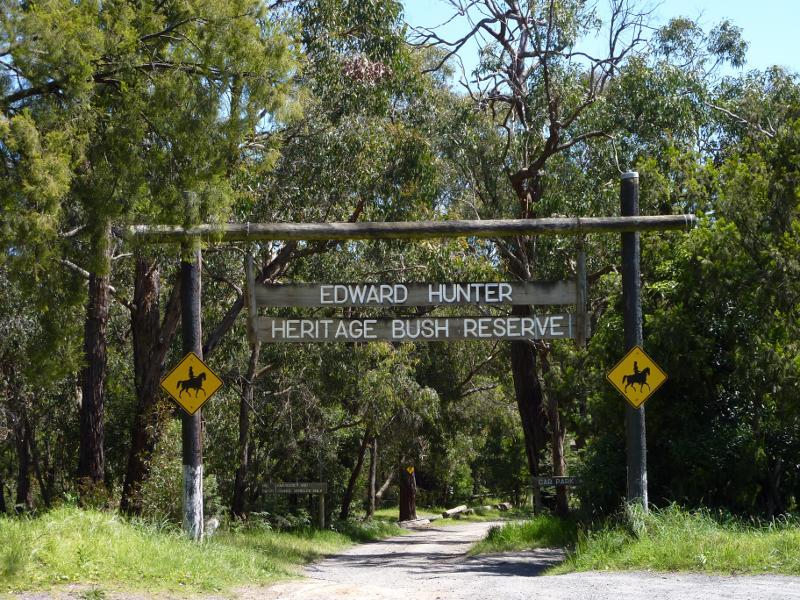
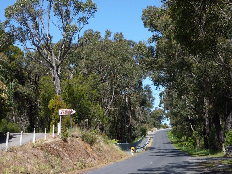
Entrance at Coalville Rd
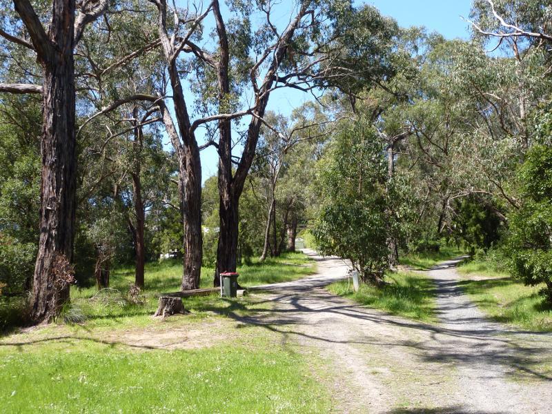
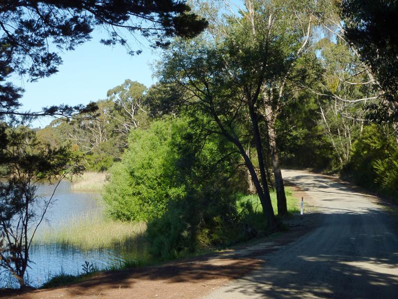
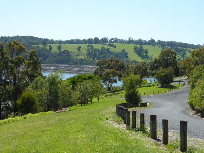
Path between car park and lake
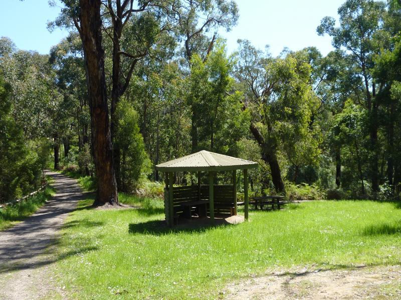
Picnic shelter near lake
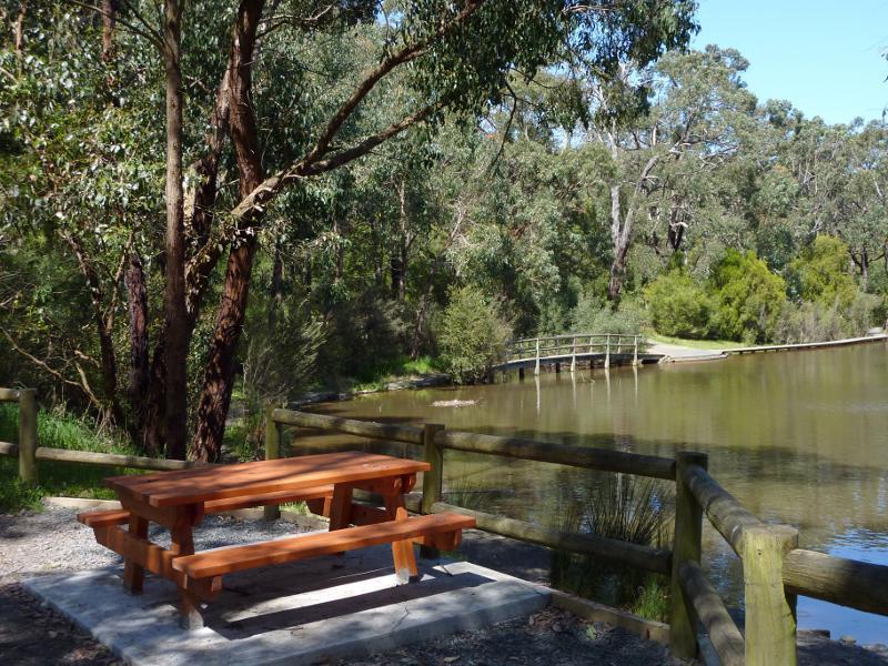
Table overlooking lake and boardwalk
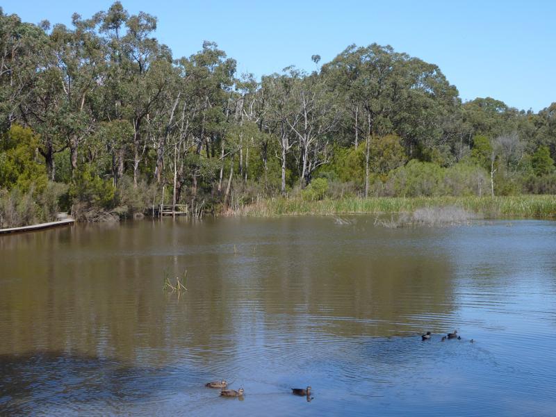
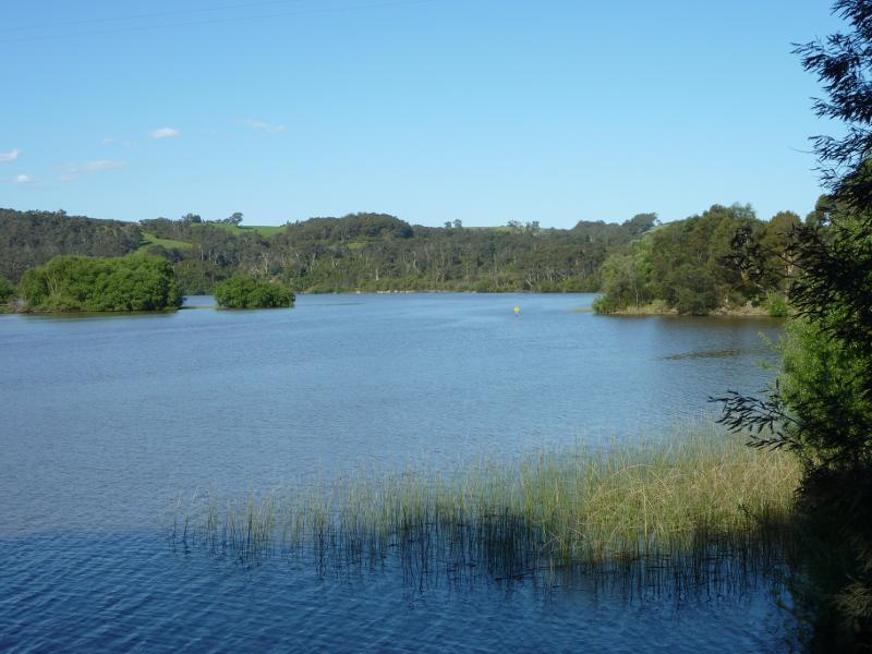
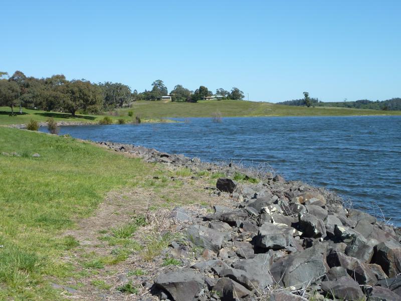
View across lake
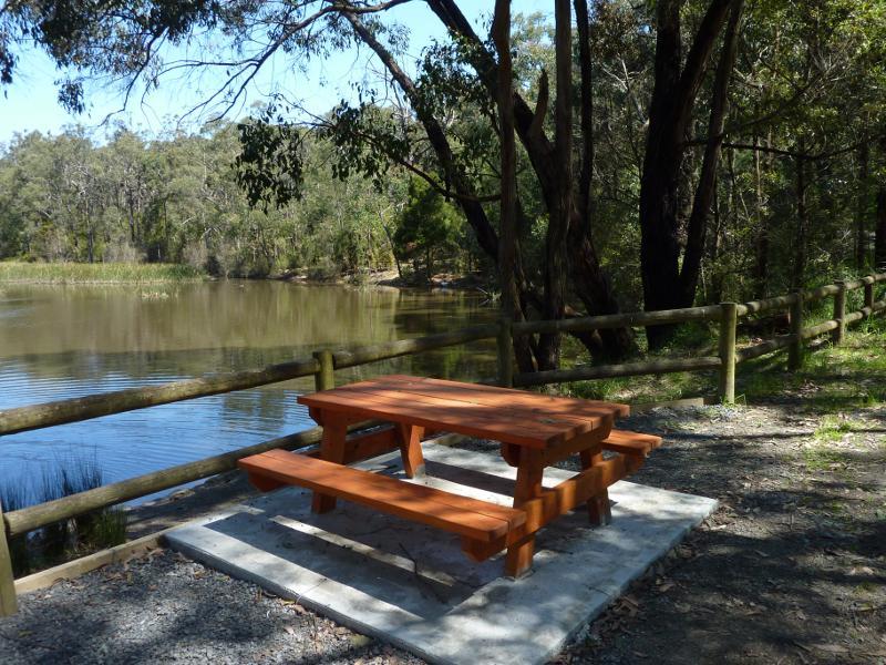
Table overlooking lake
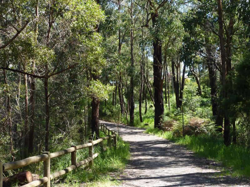
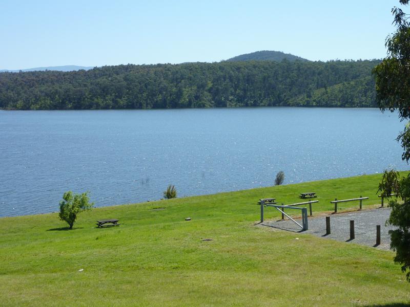
Path beside lake
View south-east along Coalville Rd towards second entrance to reserve
Car park at second entrance to reserve
Shelter at second entrance to reserve
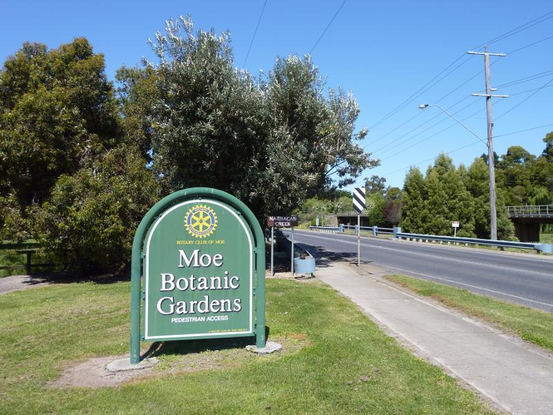
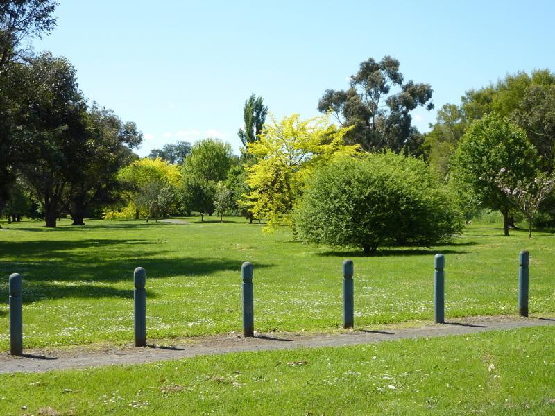
Moe Botanic Gardens sign, Narracan Dr at Narracan Creek
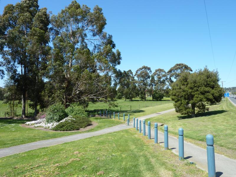
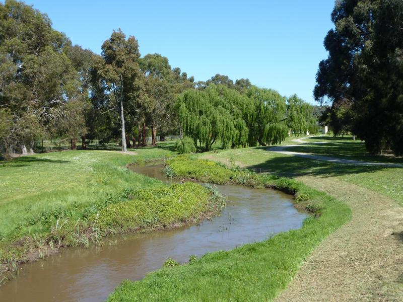
Easterly view through gardens, Narracan Dr at Narracan Creek
View north across Narracan Creek towards gardens near Narracan Dr
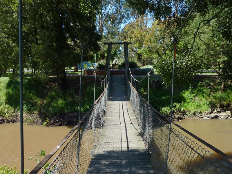
Footbridge across Narracan Creek near Narracan Dr
Gardens near footbridge
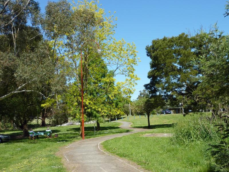
Pathway through gardens near Narracan Dr
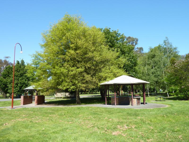
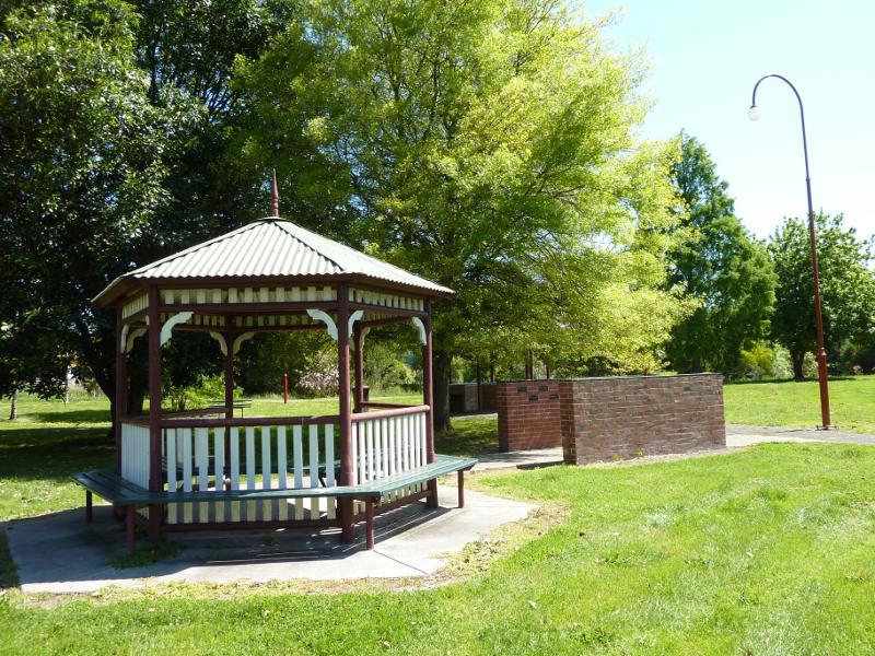
BBQ shelter
Rotunda
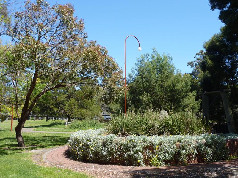
View through gardens
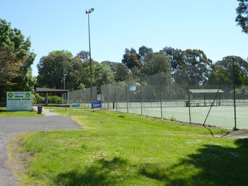
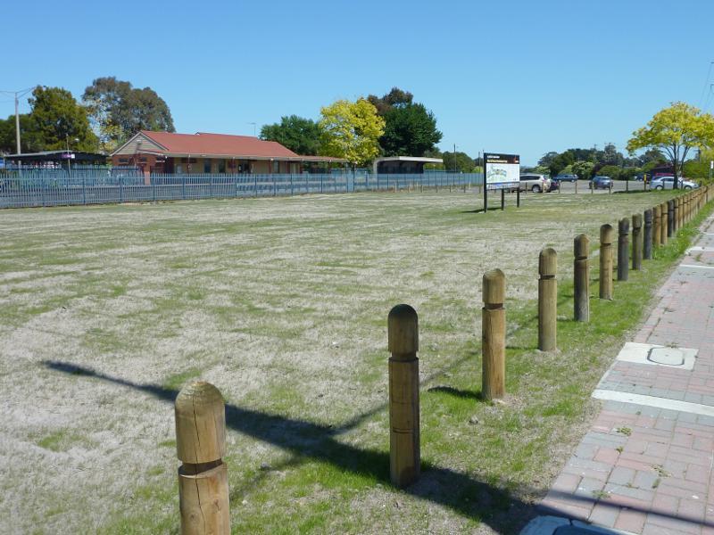
Tennis courts
View through gardens
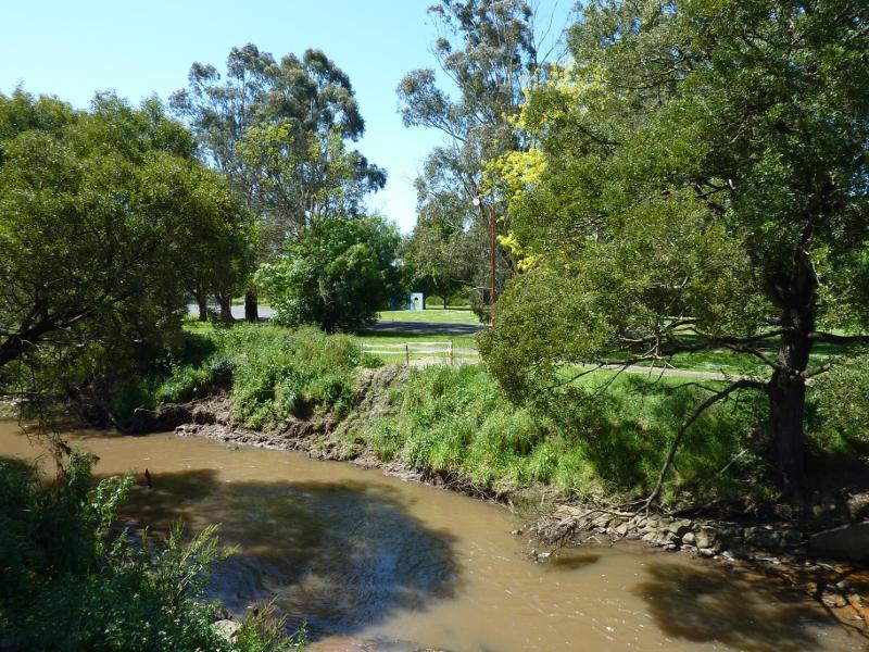
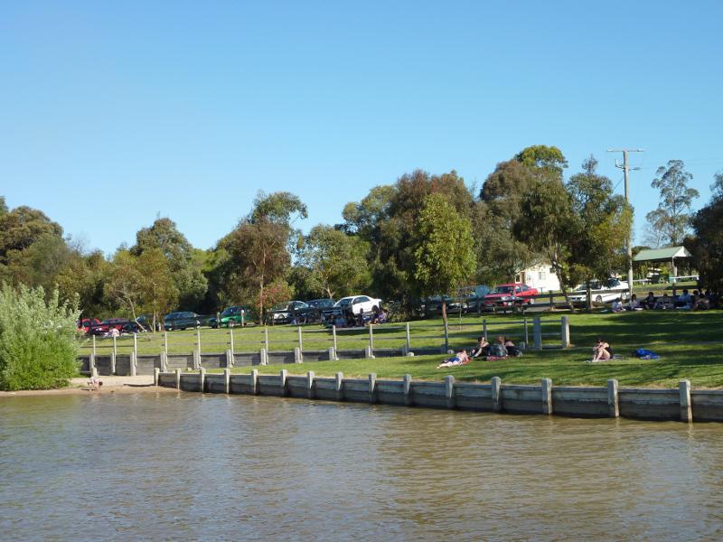
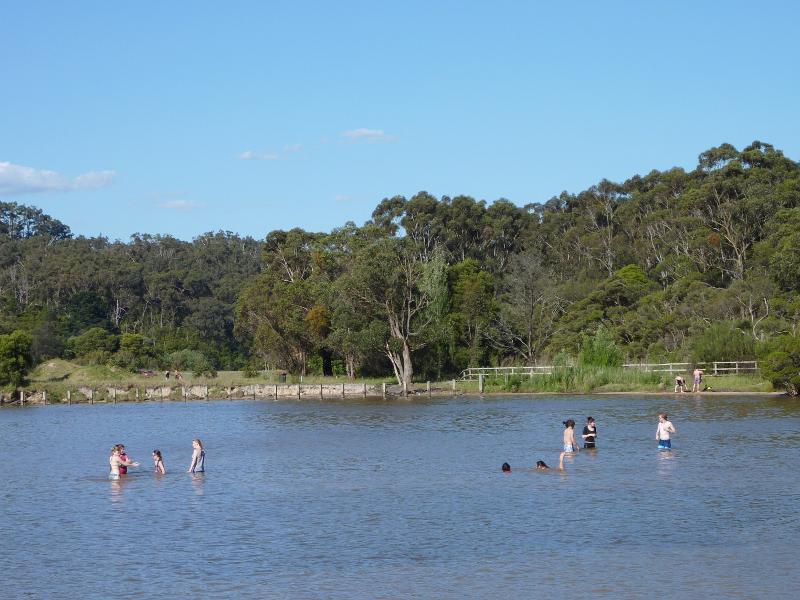
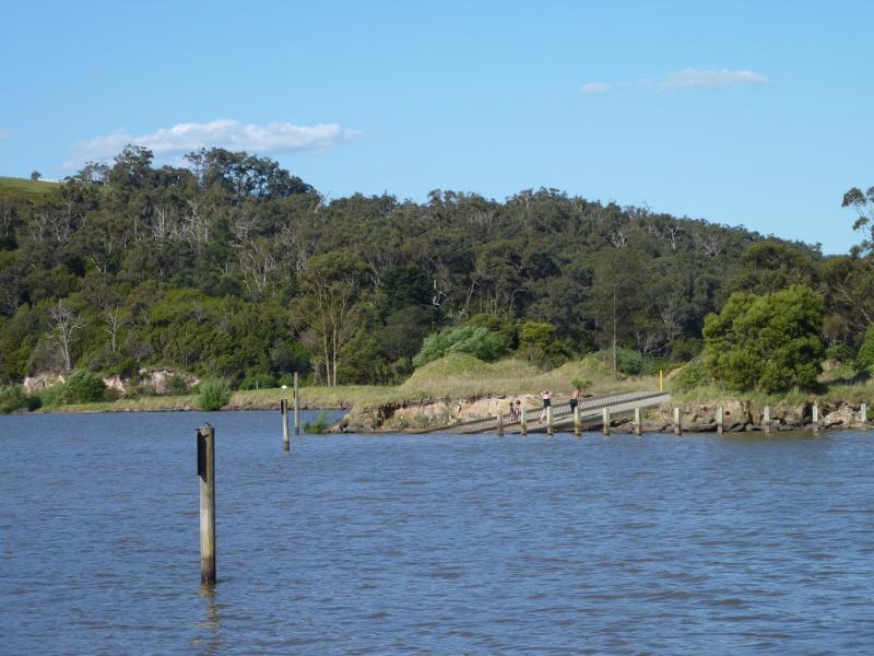
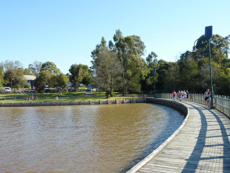
View south along Narracan Creek near Haigh St
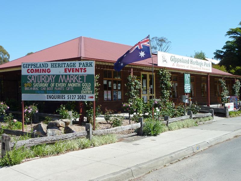
Visitor centre facing Lloyd St
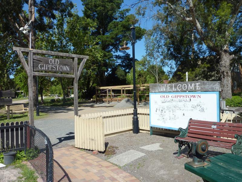
Entrance to Old Gippstown
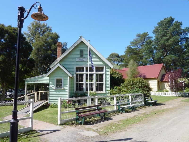
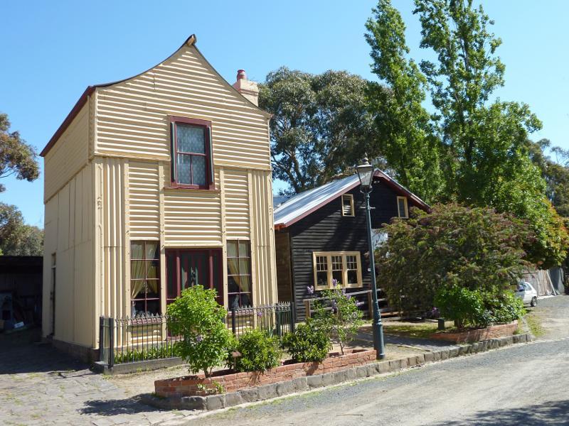
Sunny Creek School
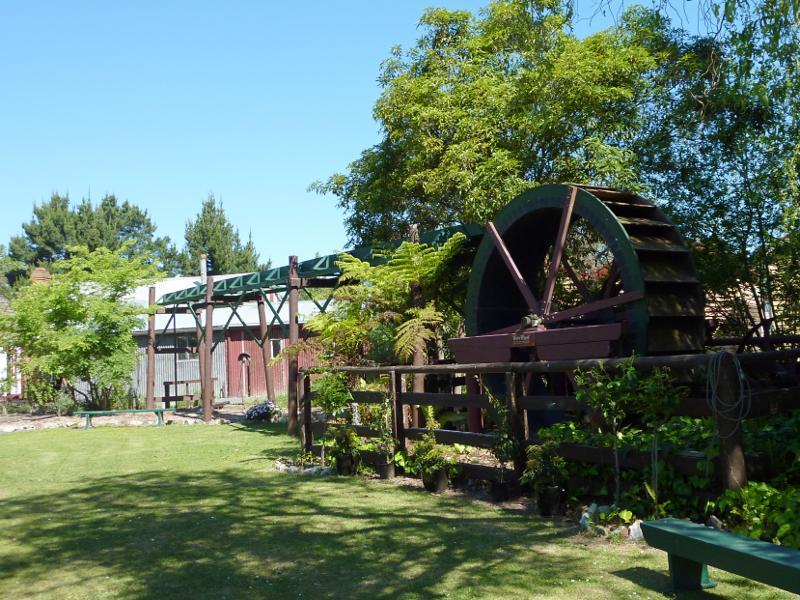
Water wheel
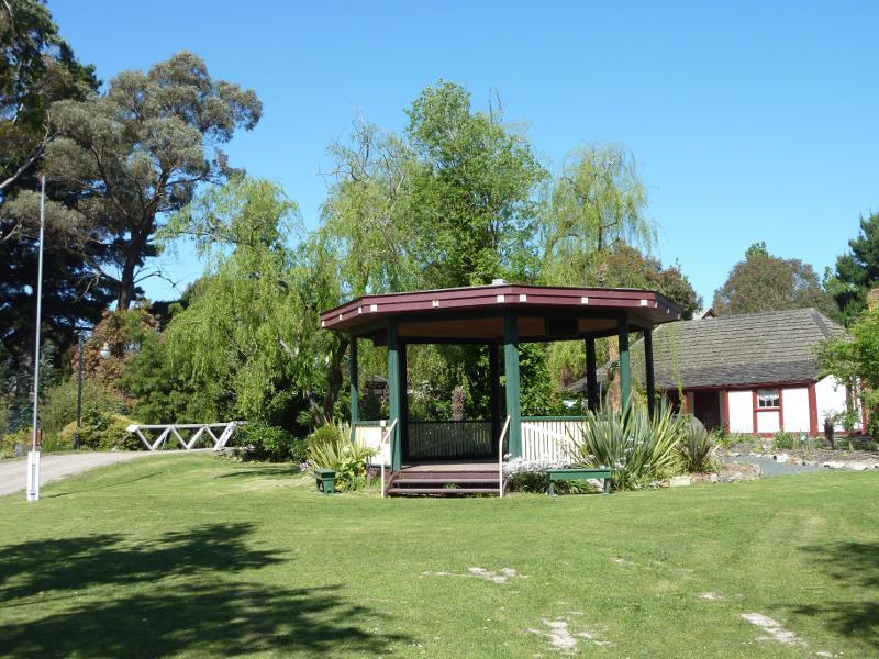
Rotunda
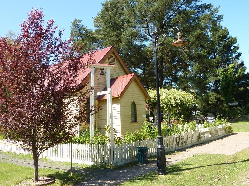
Holy Trinity Anglican church
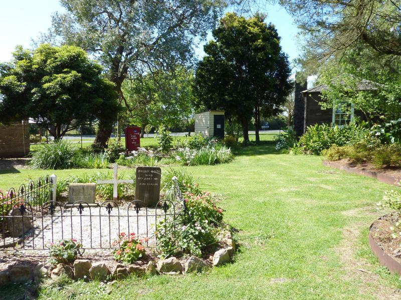
Garden and graves behind Holy Trinity Anglican church
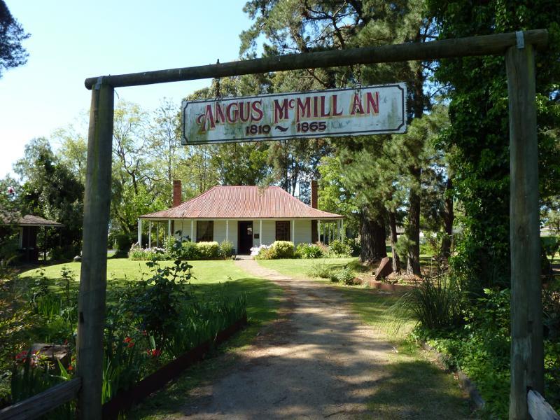
Angus McMillan's Bushy Park homestead
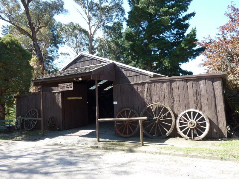
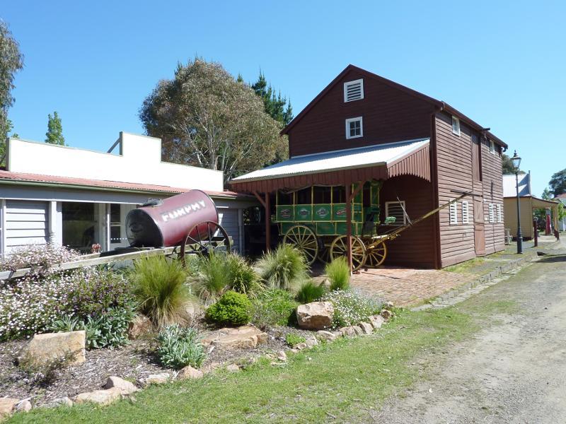
Fowler's Coach House
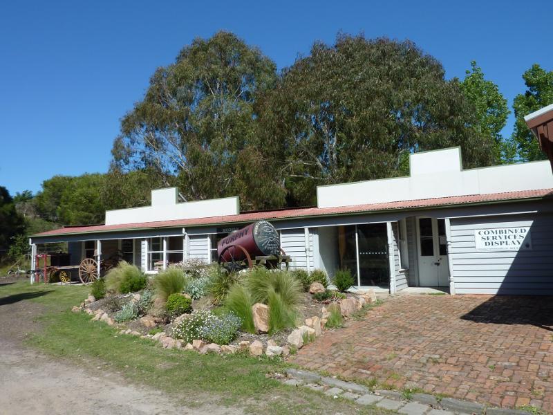
Printers building and military display
Livery stable
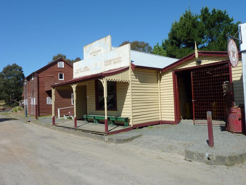
Funeral parlour
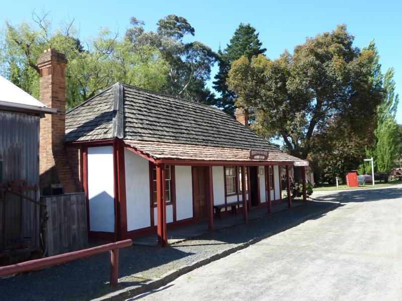
Rhoden's Halfway House (hotel)
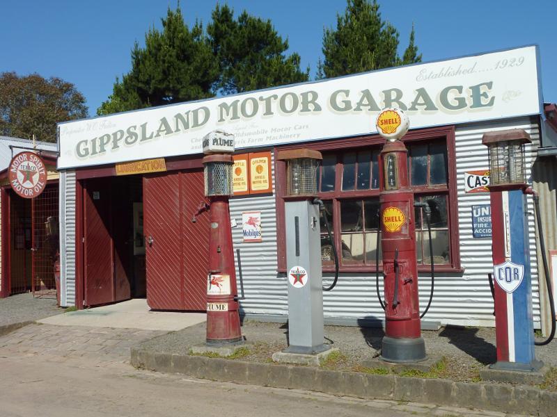
Gippsland Motor Garage
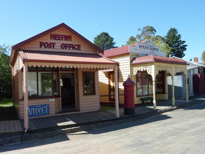
Neerim post office and Sarah Carter dressmaker
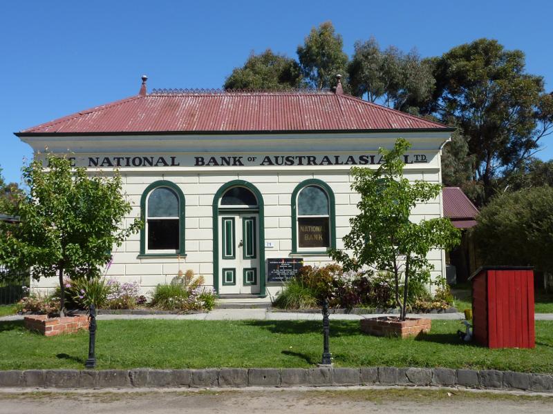
Meeniyan National Bank of Australia
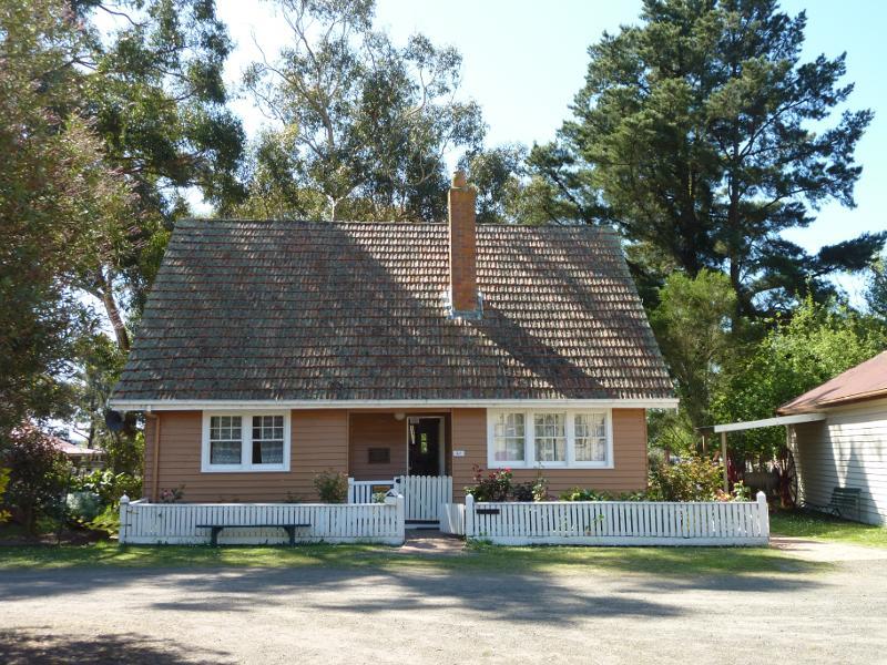
Doctor Andrew's residence
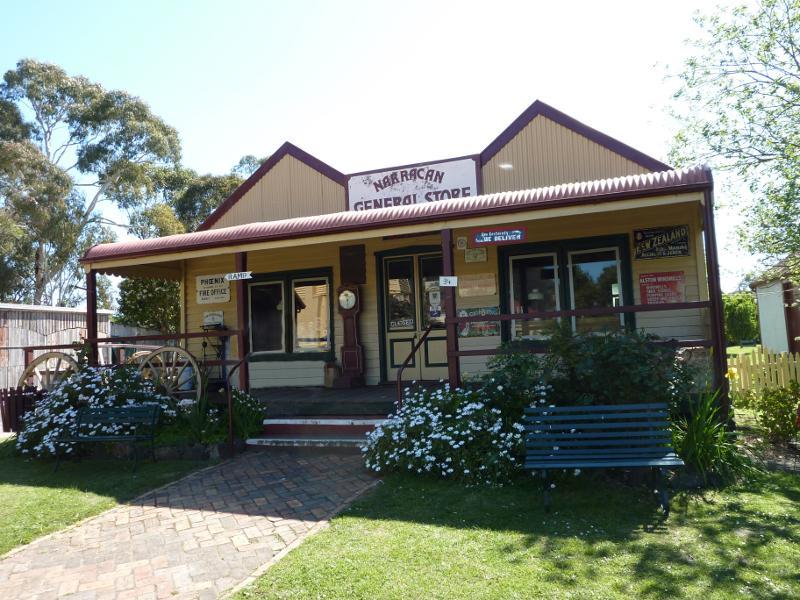
Narracan General Store
'Loren' iron house and coach builder's workshop
Footbridge near general store and coach builder's workshop
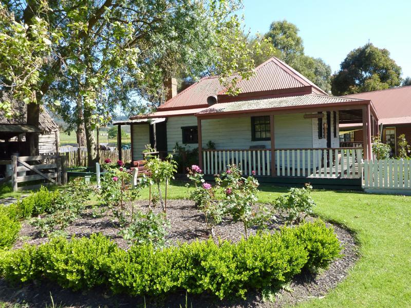
Ashdale farm house
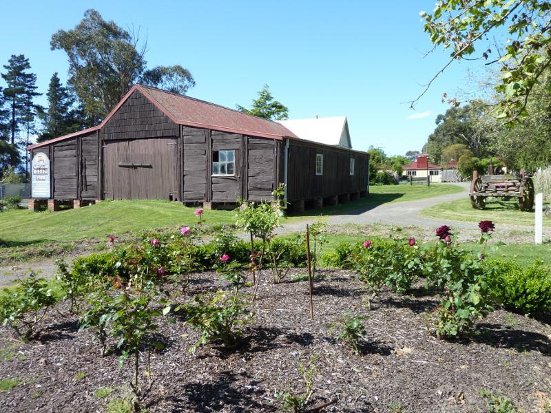
Ashdale shearing shed
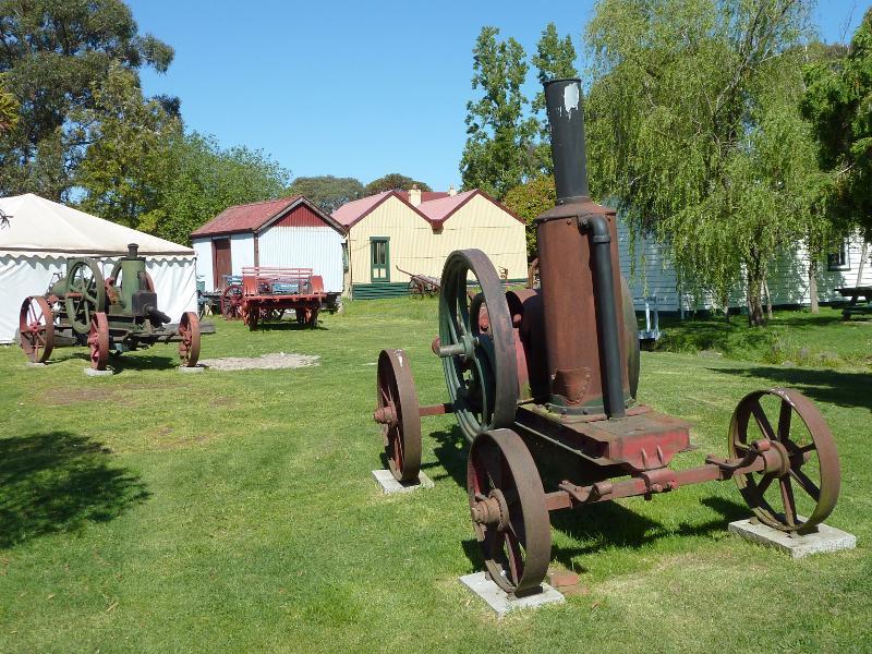
Farm equipment

Narracan Mechanics Institute and free library
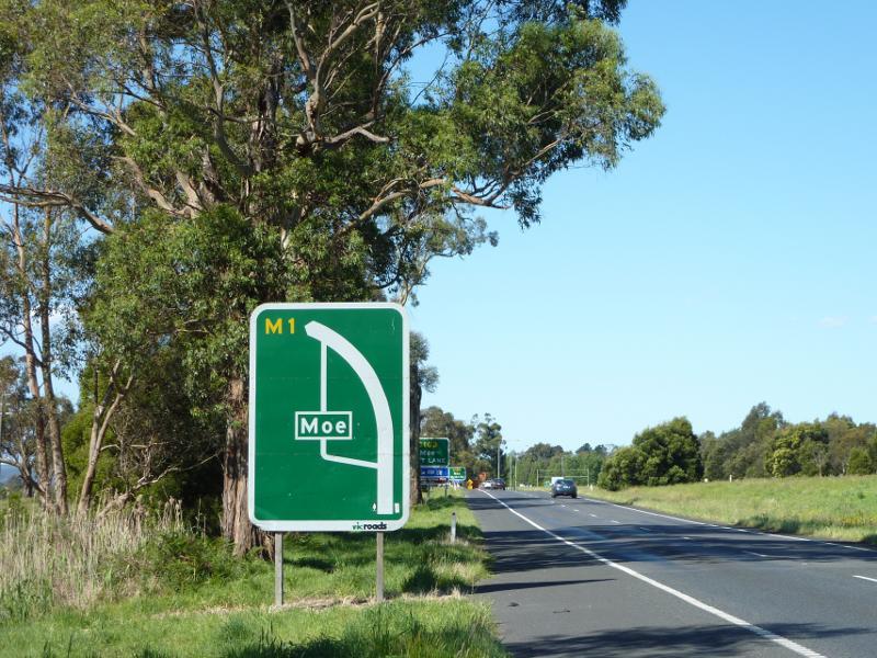
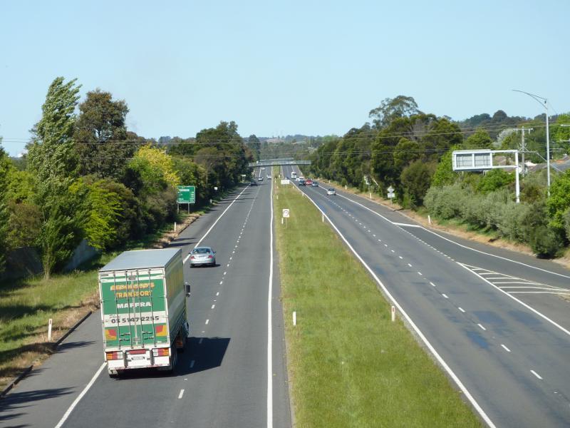
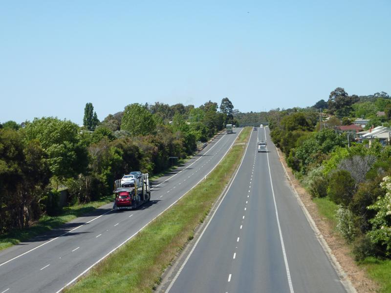
View north-east along Princes Fwy approaching Lloyd St exit
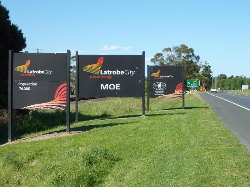
Latrobe City and Moe sign, Princes Fwy west of Lloyd St exit
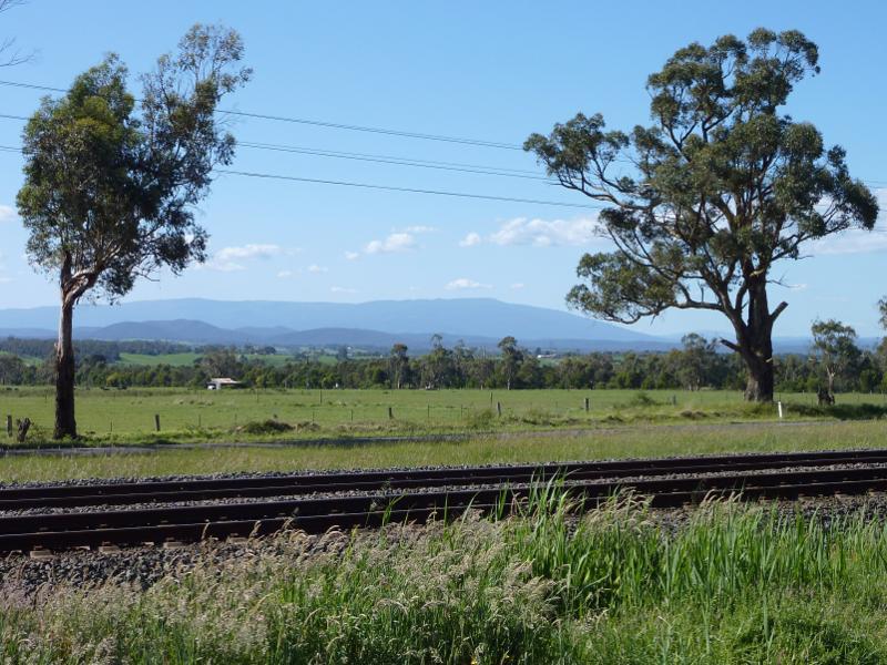
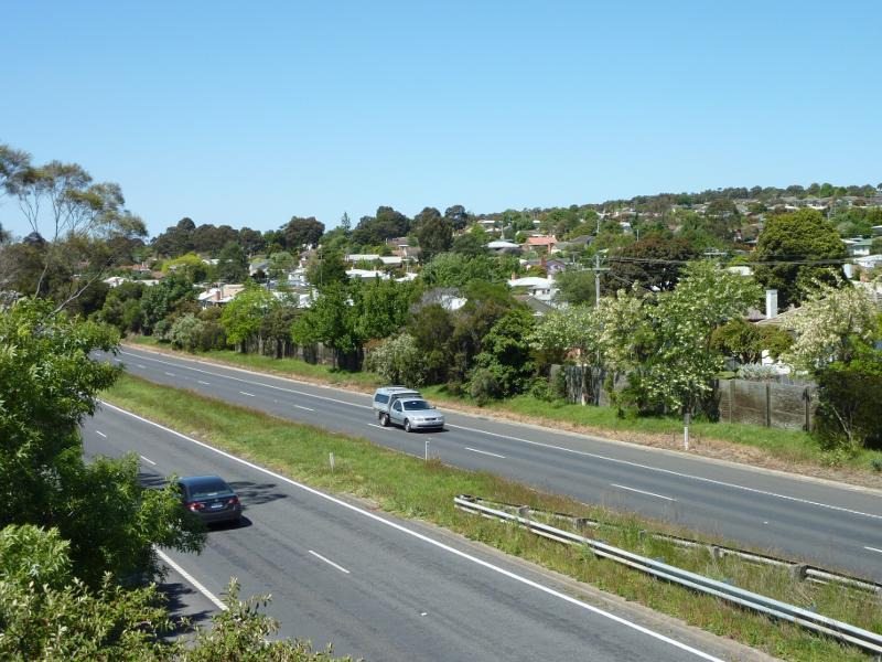
Northerly view across railway line from Princes Hwy west of Lloyd St exit
View south-west along Lloyd St towards Princes Fwy
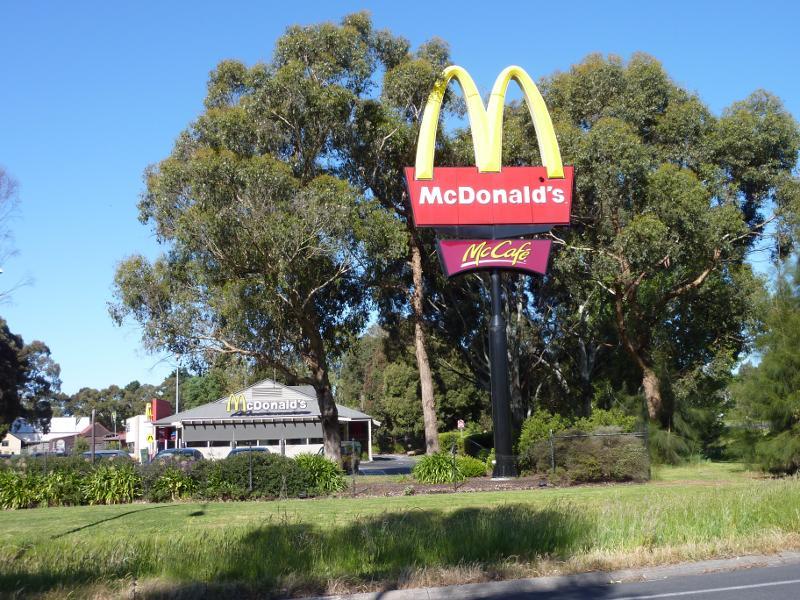
McDonalds, Lloyd St at Princes Fwy interchange
Southerly view towards Princes Fwy at western end of Lloyd St
View east along Princes Fwy from Old Gippstown Dr overpass
View east along Princes Fwy from footbridge at end of Truscott Rd
South-easterly view over Princes Fwy from footbridge at end of Truscott Rd
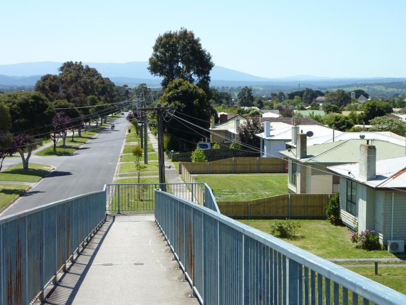
Northerly view from footbridge at end of Truscott Rd
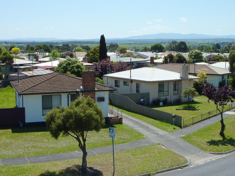
North-westerly view from footbridge at end of Truscott Rd
View south along Wirraway St towards Princes Fwy overpass
Corner of Monash Rd and Rutherglen Rd
North-westerly view across Monash Rd at Rutherglen Rd
Newborough post office, east side of Rutherglen Rd
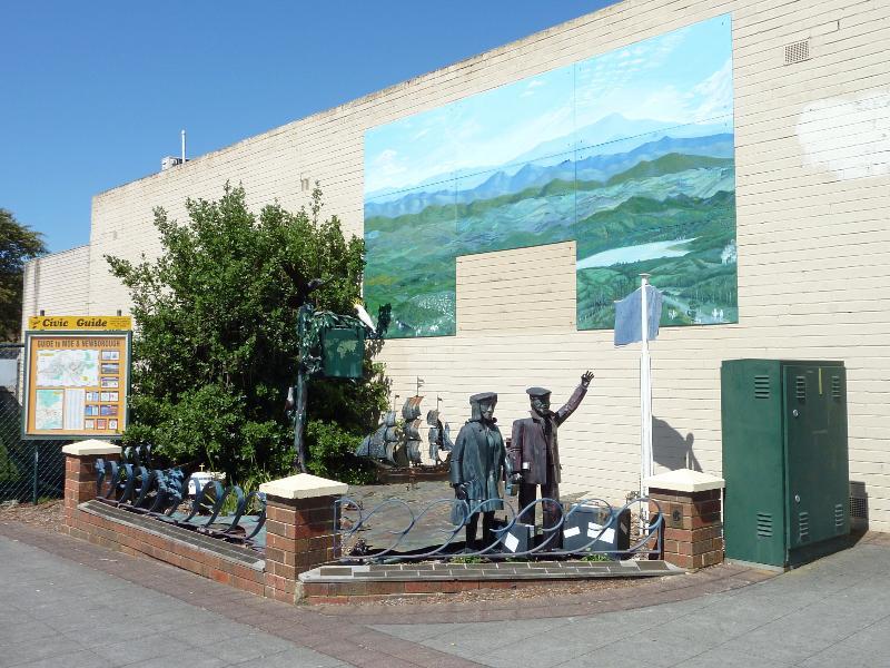
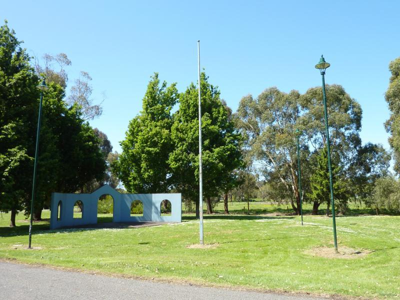
Migrant display and sculptures, next to post office
View south-east along Rutherglen Rd
Shops along eastern side of Rutherglen Rd
View north-west along Rutherglen Rd
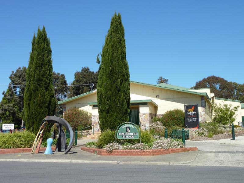
Newborough Public Hall, Henry White Reserve, Balfour St opposite Rutherglen Rd
View south-east along Old Sale Rd towards Northern Av
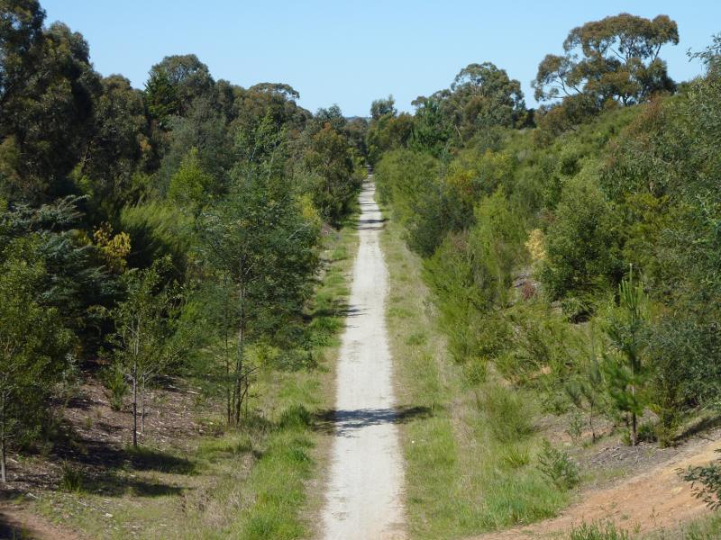
View east along Moe-Yallourn Rail Trail from bridge at Old Sale Rd
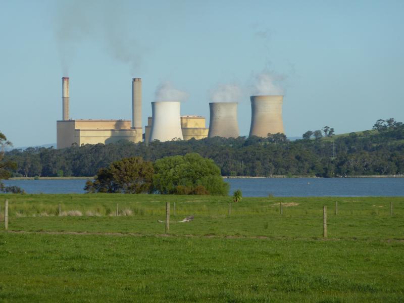
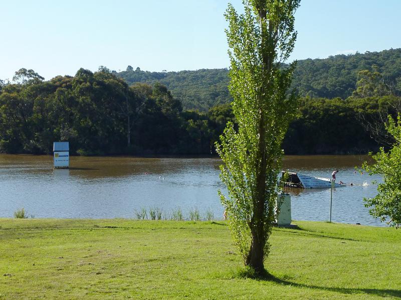
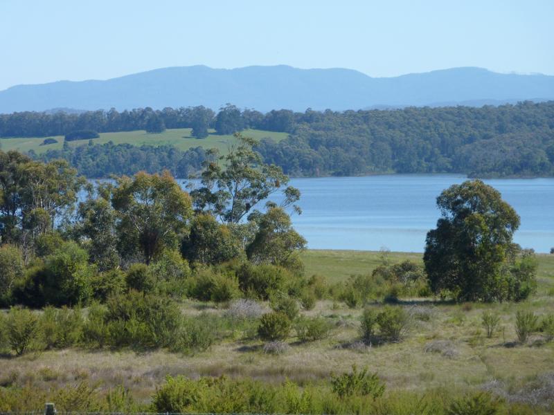
South-easterly view across Lake Narracan towards Yallourn Power Station
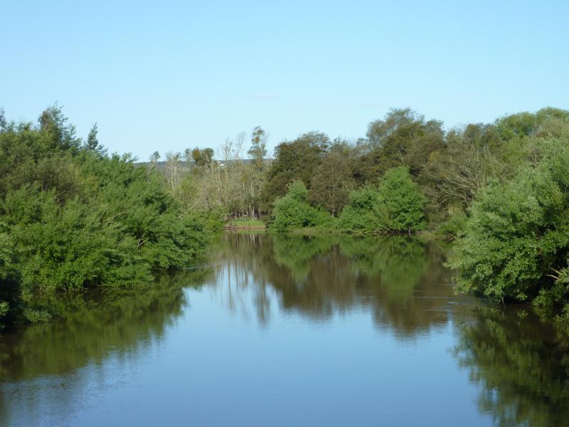
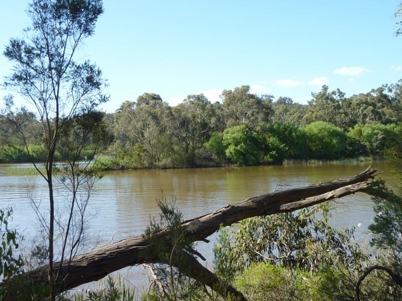
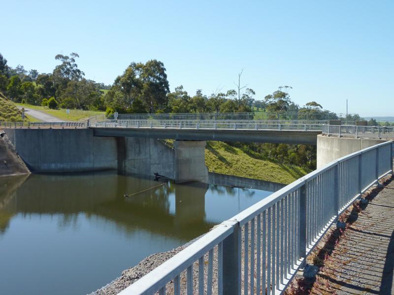
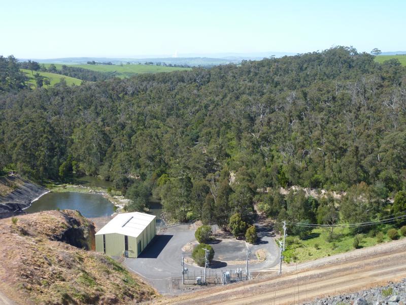
View south-east along La Trobe River from bridge
View north-west over La Trobe River from bridge
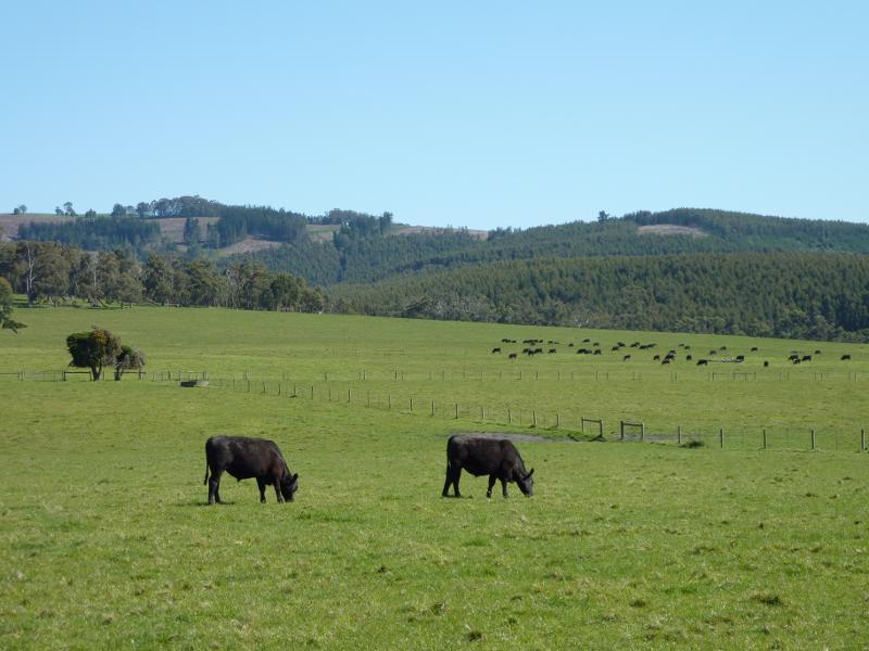
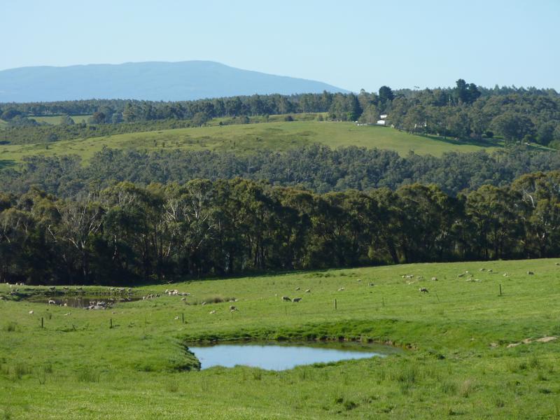
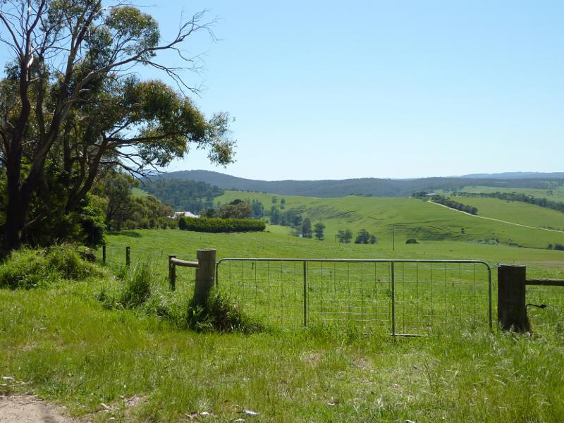
South-easterly view across farm land, just south of La Trobe River bridge
View north along Hayes Rd towards Lake Narracan
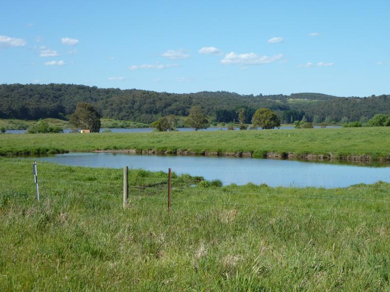
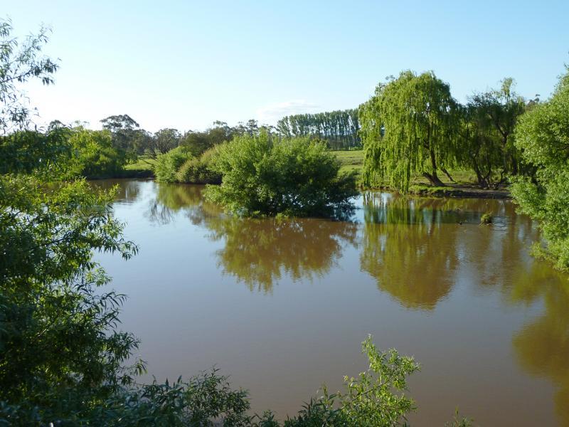
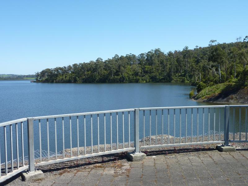
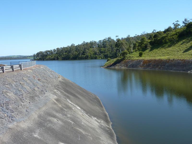
North-easterly view over dam towards Lake Narracan
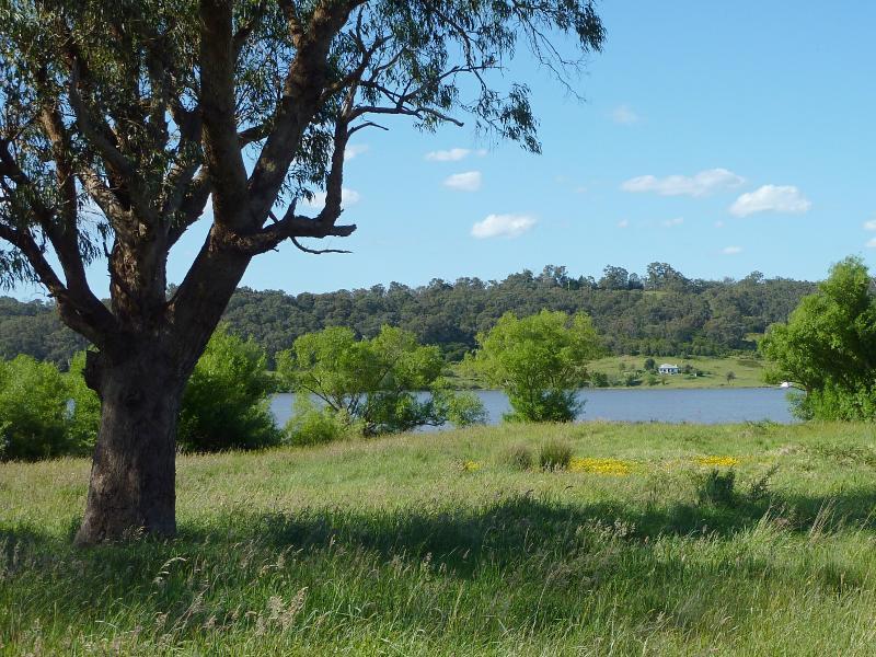
North-easterly view towards Lake Narracan from end of Hayes Rd
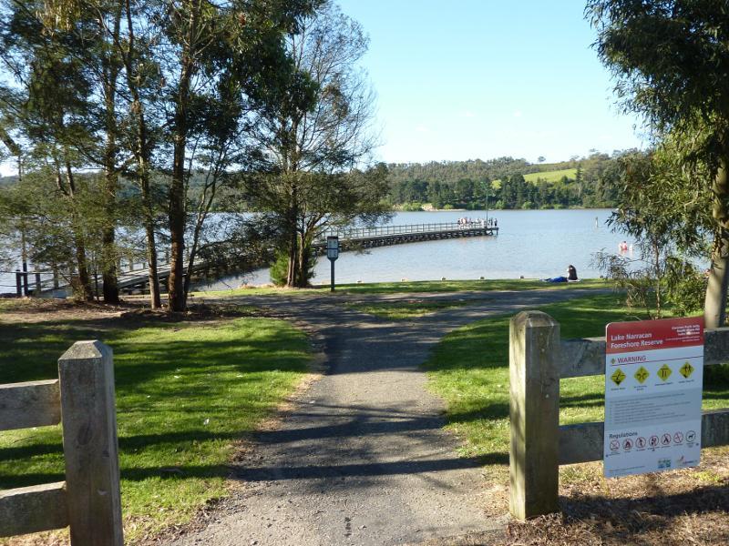
Entrance to foreshore reserve at South Shore Rd
Easterly view along lake foreshore at entrance to jetty
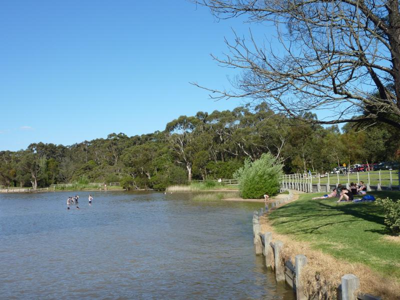
View towards lake foreshore from jetty
Easterly view across lake from jetty
View towards boat ramp from jetty
Southerly view along jetty
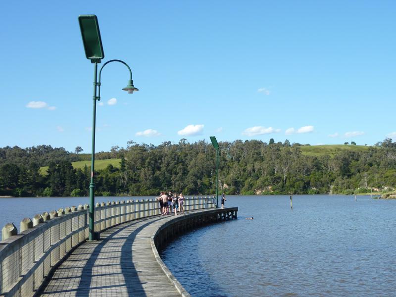
North-easterly view along jetty
View across lake from jetty towards northern shoreline
North-easterly view towards lake near Sullivans Rd
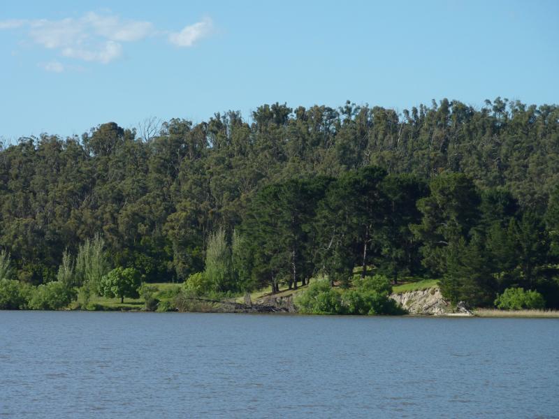
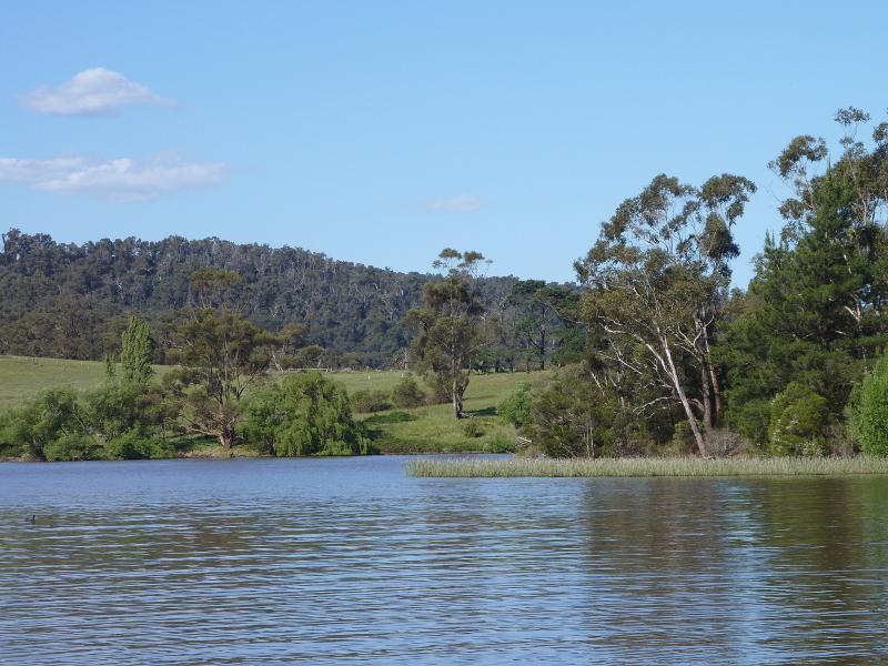
Easterly view along lake
North-easterly view across lake
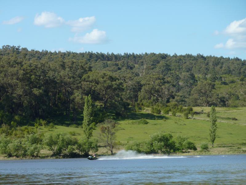
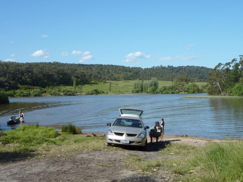
Jet skier on lake
View across lake, further eastwards
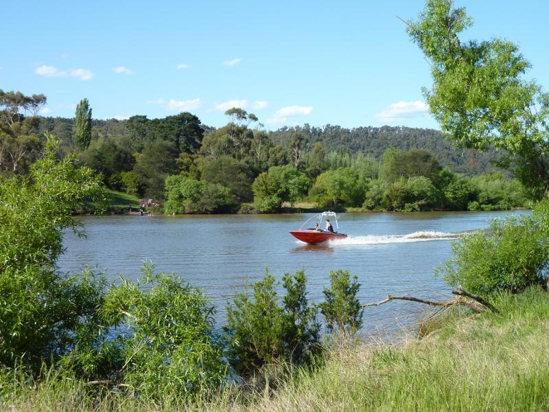
Boat on lake
South Shore Road along lake
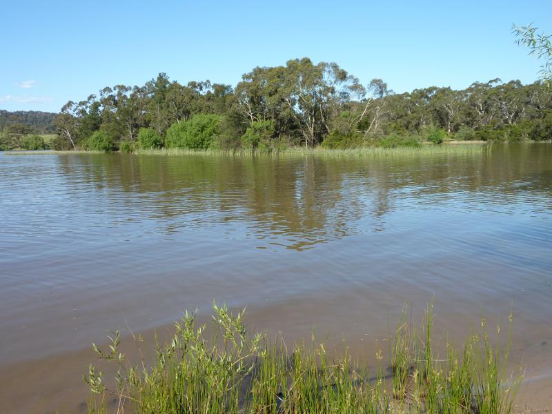
Easterly view along lake
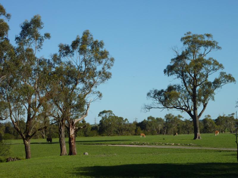
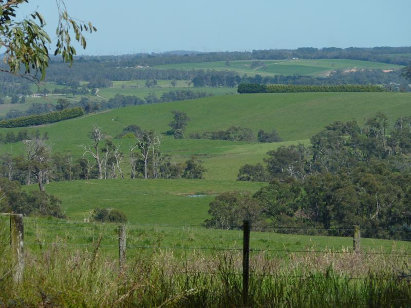
North-easterly view over pastures, east of Thompsons Rd
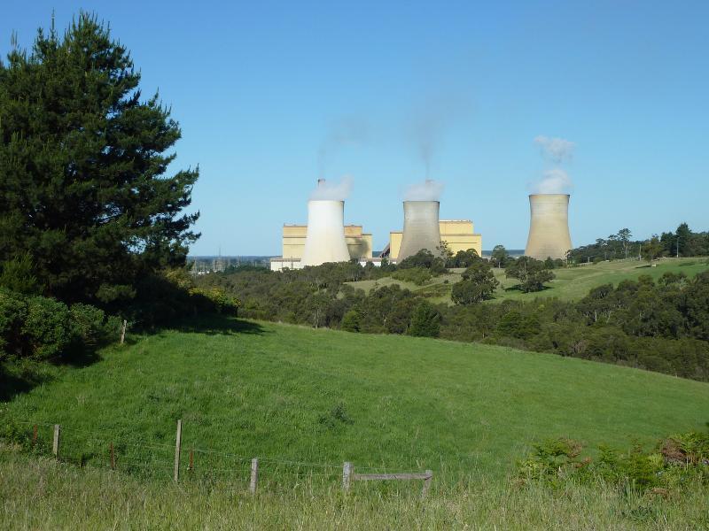
Easterly view towards Yallourn Power Station
View south-west along Hall Rd towards North Shore Rd
Lake foreshore at ski club
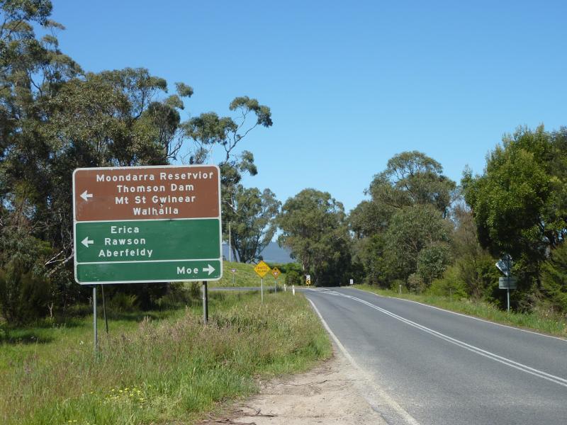
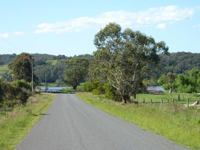
View south along Willow Grove Rd towards Walhalla Rd
North-easterly view at Laidlaws Rd
Easterly view at Laidlaws Rd
Easterly view at Laidlaws Rd
Southerly view near Hoadleys Rd
Southerly view near Hoadleys Rd
View north along Willow Grove Rd towards Spillway Rd
Westerly view near Spillway Rd
Northerly view towards lake

Northerly view towards lake
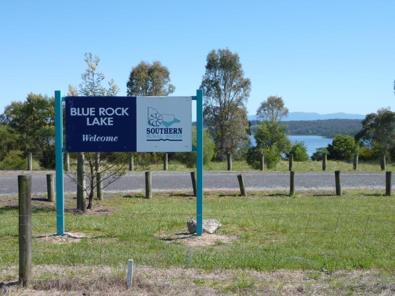
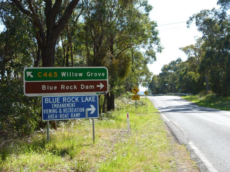
Turn-off to lake recreation area
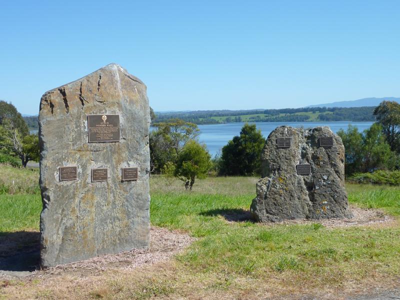
Pioneer Wall, Spillway Rd east of recreation area turn-off
View towards lake at car park entrance
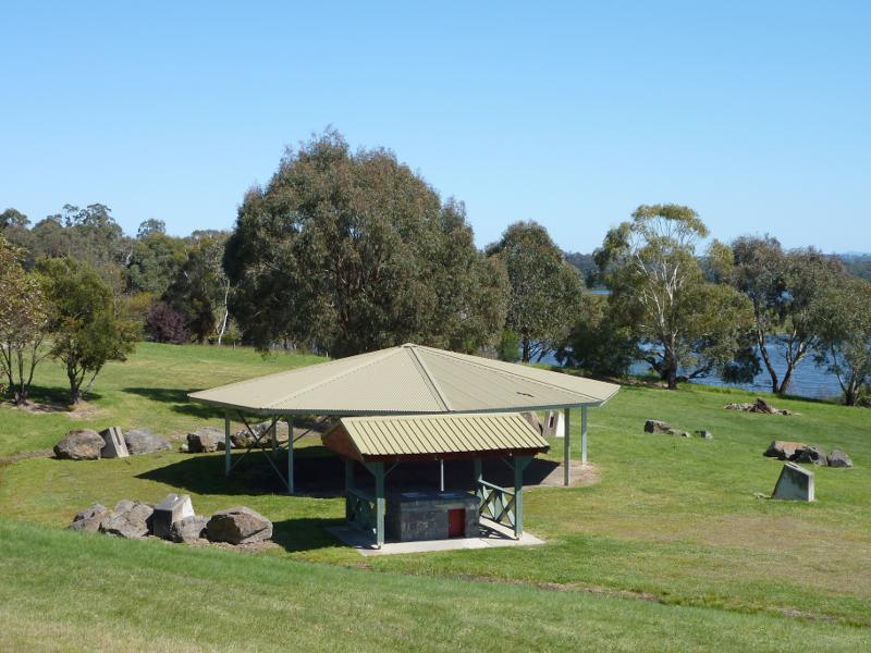
BBQ and picnic shelters
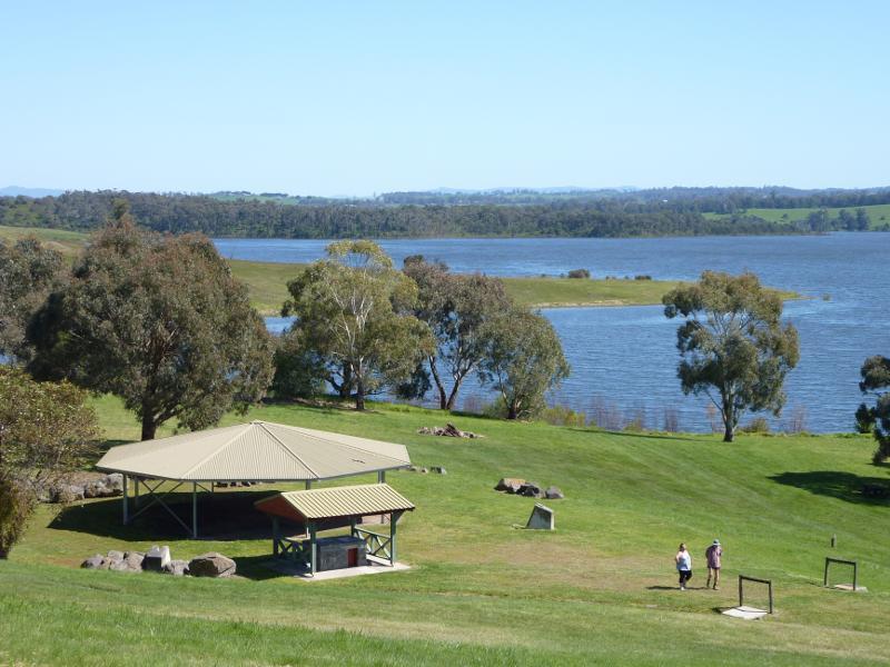
North-westerly view across lawns towards shelters
Lawns at lake foreshore
Northerly view across lake
North-westerly view towards embankment
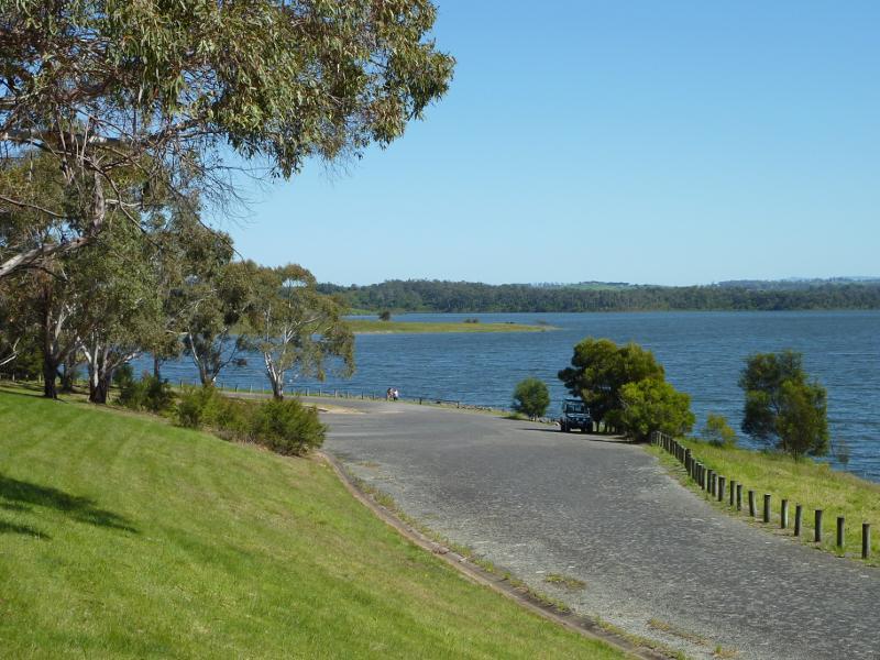
View west along lake foreshore near boat ramp
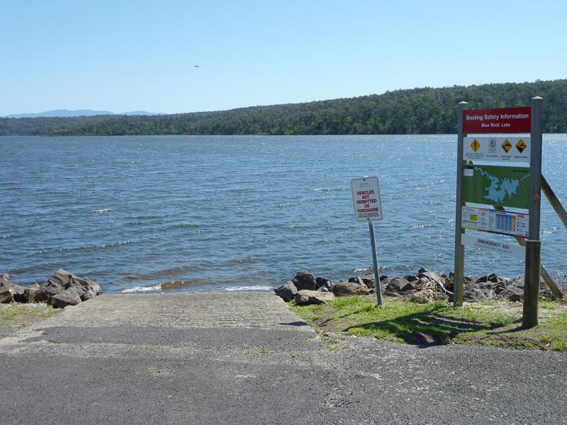
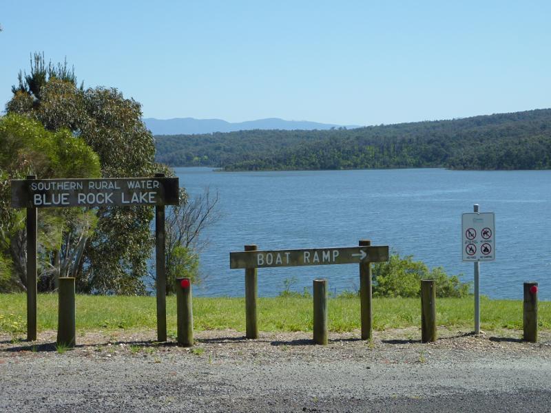
Boat ramp
View along lake towards boat ramp
View north-west along Spillway Rd towards embankment
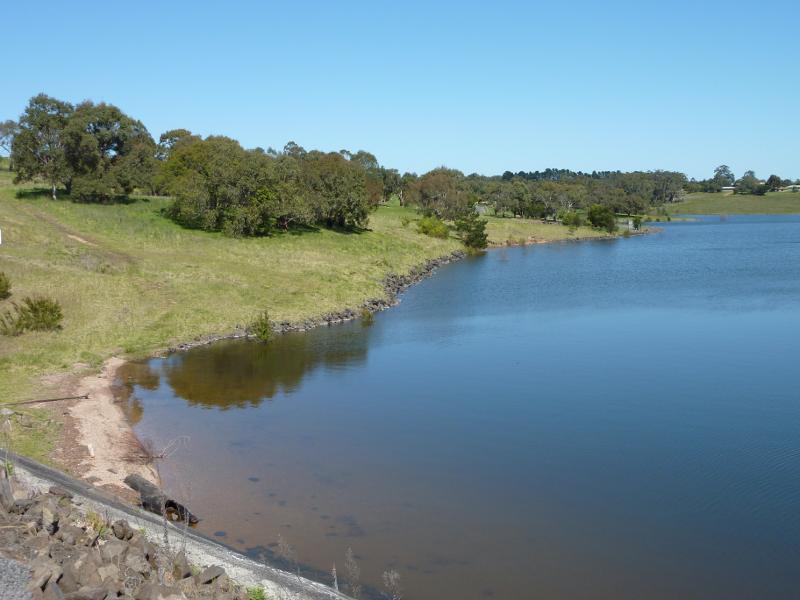
View west along lake foreshore at southern end of embankment
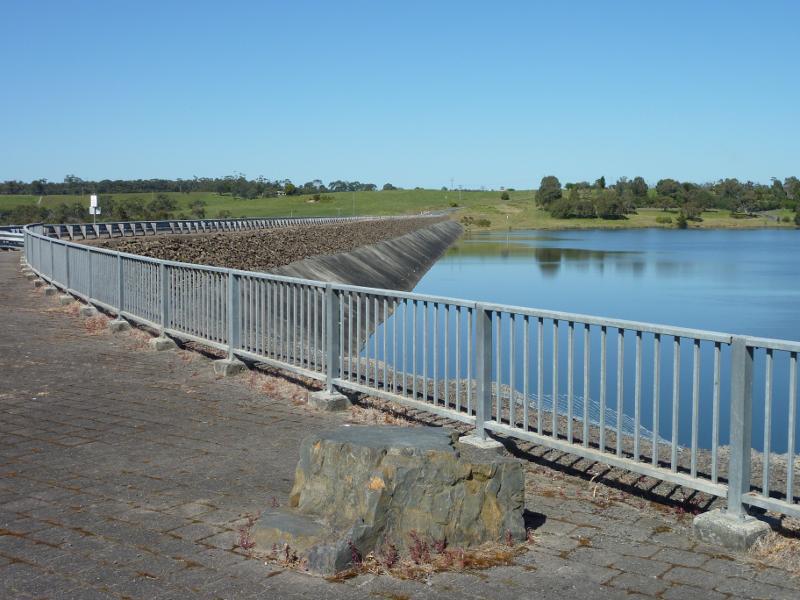
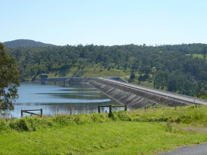
View south-west along embankment
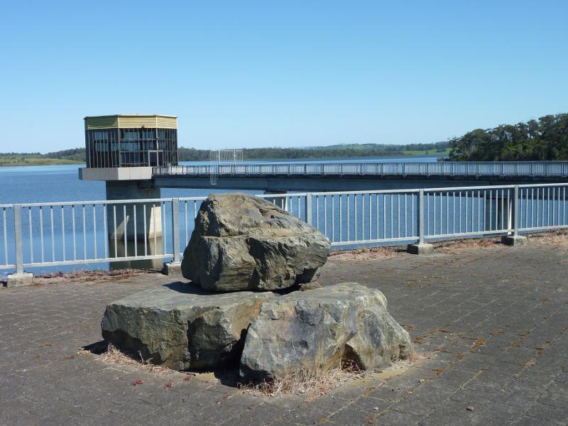
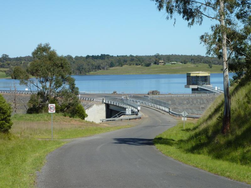
Control tower at northern end of embankment
View along embankment towards control tower
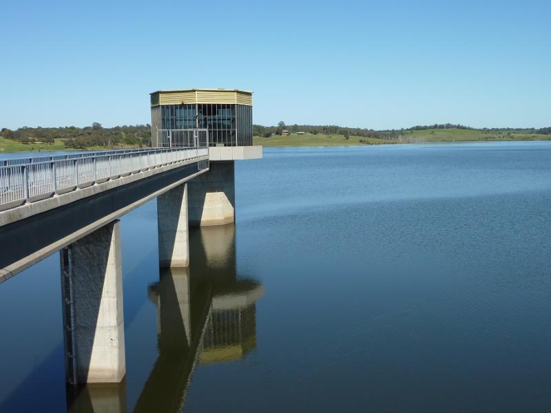
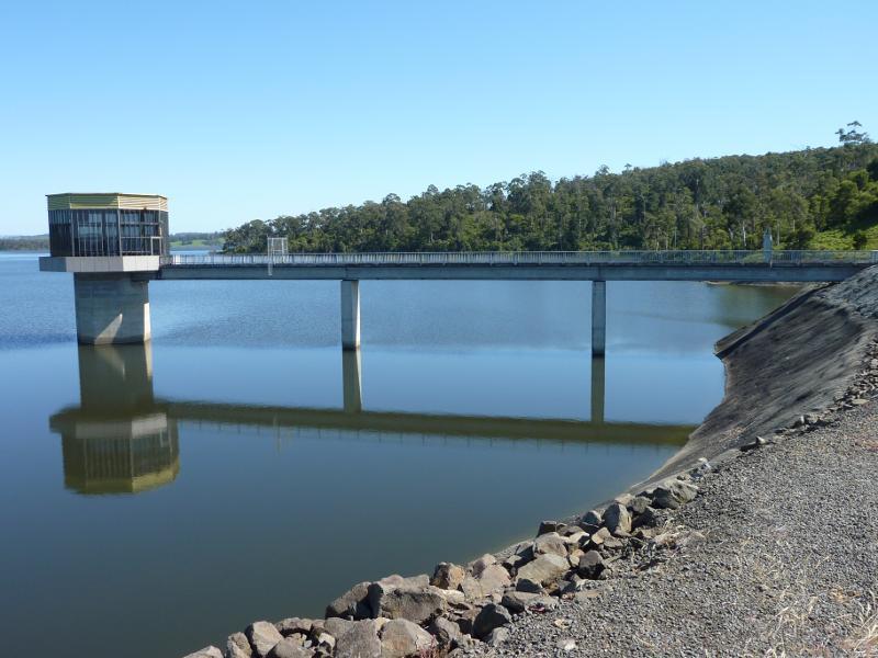
View south-west across lake at control tower
North-westerly view at northern end of embankment
View along channel to spillway towards lake
View along channel towards spillway
View south-east from embankment towards lake at base of spillway
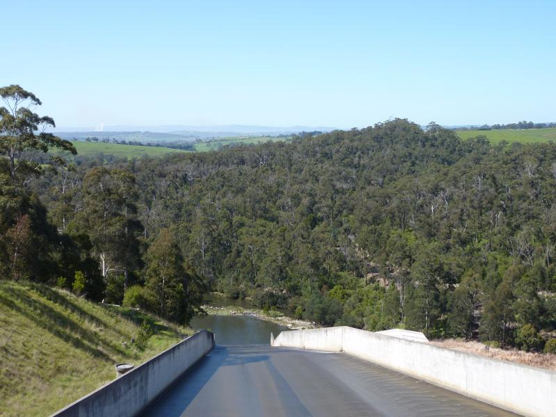
View down spillway from bridge at Spillway Rd
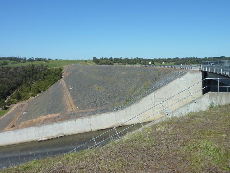
View south-west across spillway and along embankment
View south-west along Spillway Rd towards spillway and embankment