Venus Bay - photos
Venus Bay
Stay
See and do
Food and drink
Shopping
Getting around
Visitor information
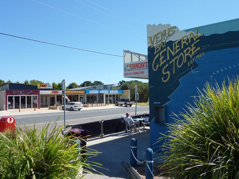
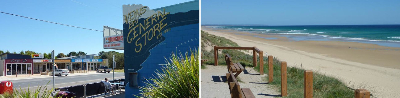
General Store, view south across Jupiter Bvd at Centre Rd
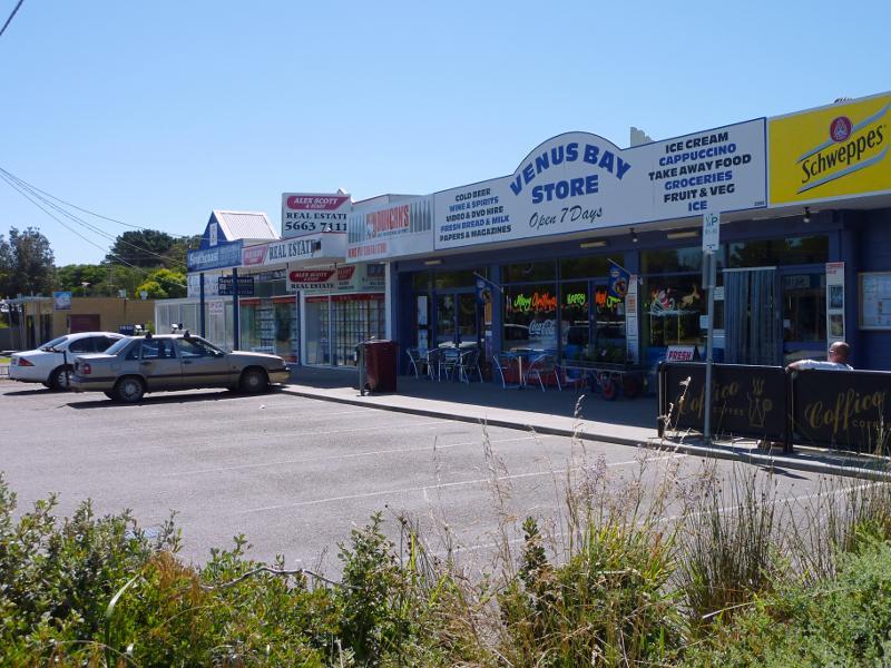
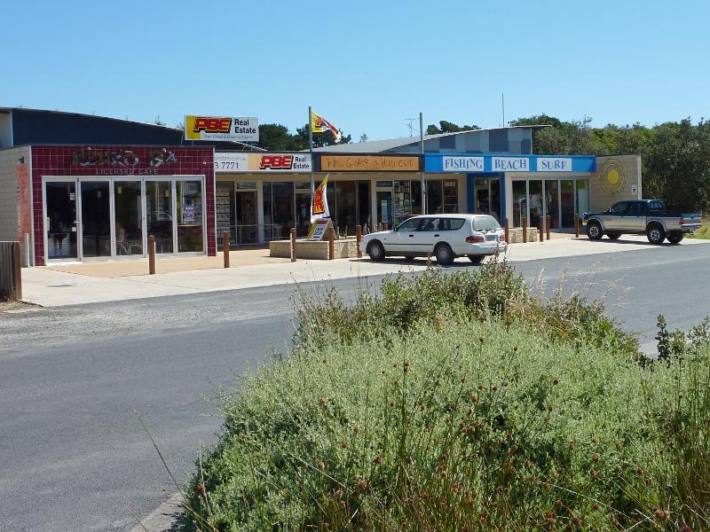
Venus Bay Store and other shops on north side of Jupiter Bvd
View east in front of shops along Jupiter Bvd towards Centre Rd
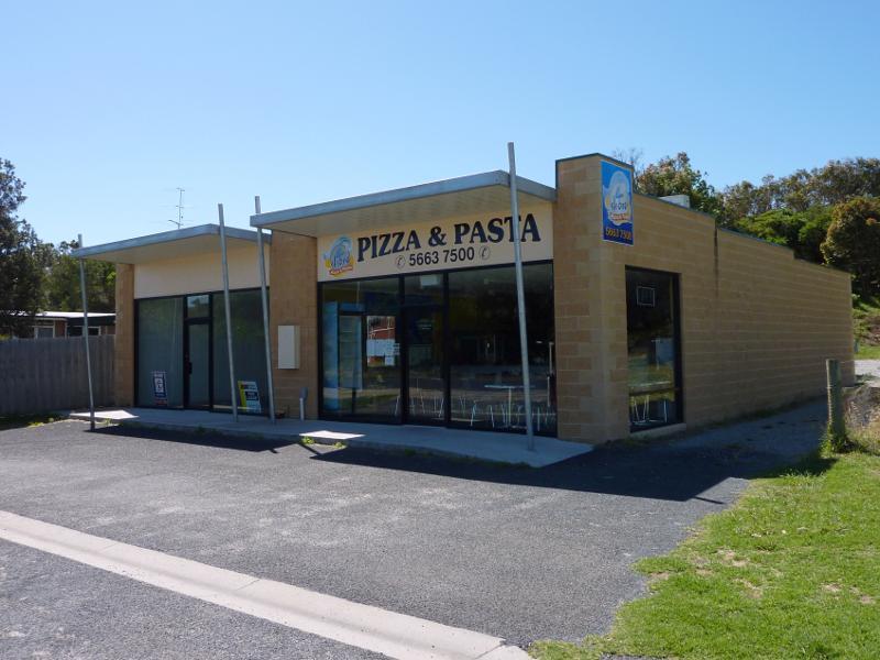
Pizza shop, north side of Jupiter Bvd
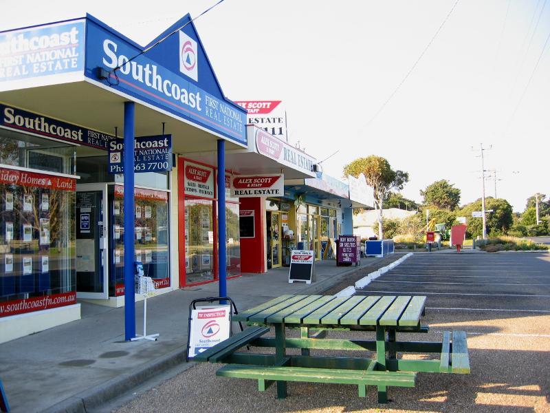
Shops along south side of Jupiter Bvd
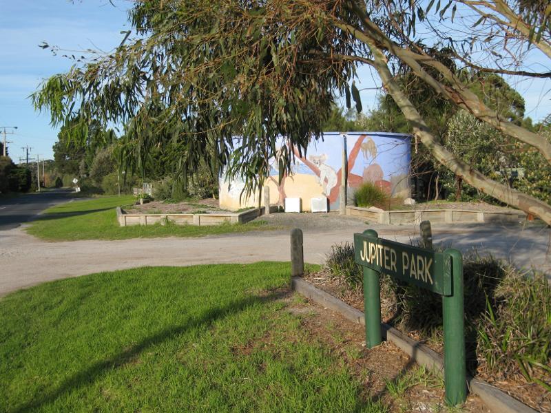
View east along Jupiter Bvd in front of park
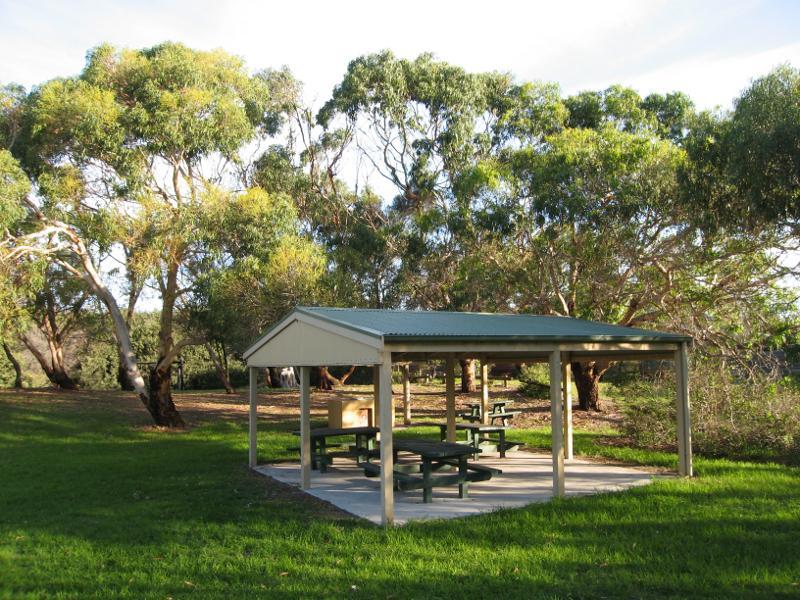
BBQ shelter and picnic area
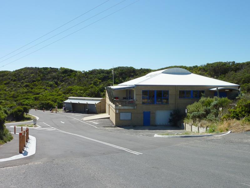
Venus Bay Surf Life Saving Club near end of Surf Dr

View west along Surf Dr towards beach
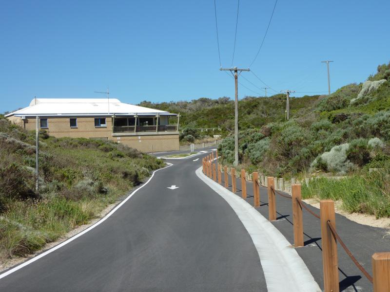
View east along Surf Dr towards Venus Bay Surf Life Saving Club
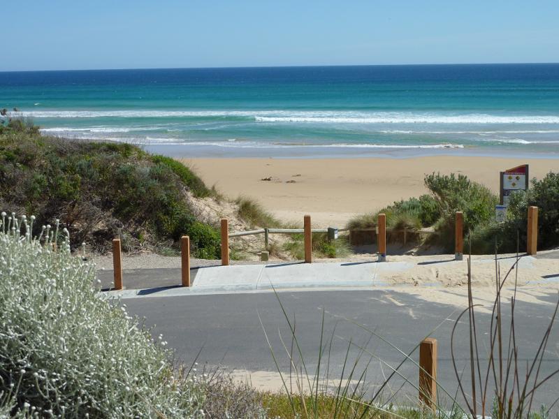
View down to beach from car park at end of Surf Dr
View north-west along beach at car park

View south-east along beach at car park
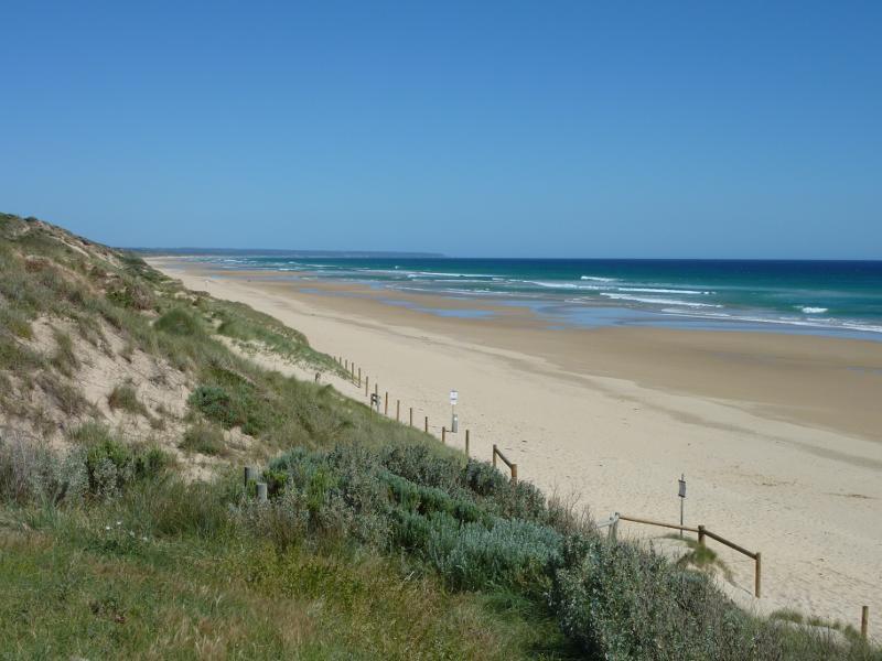
View south-east along sand dunes and beach
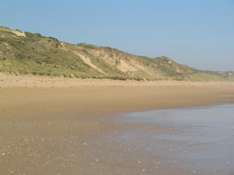
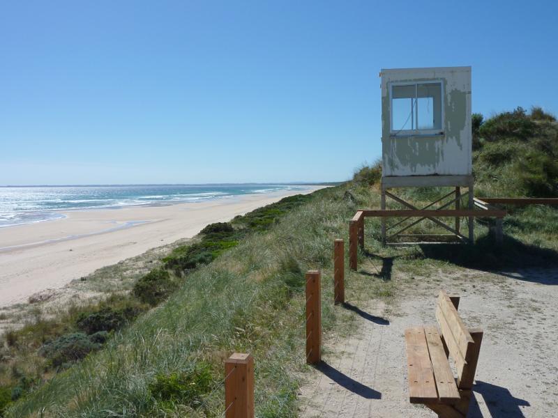
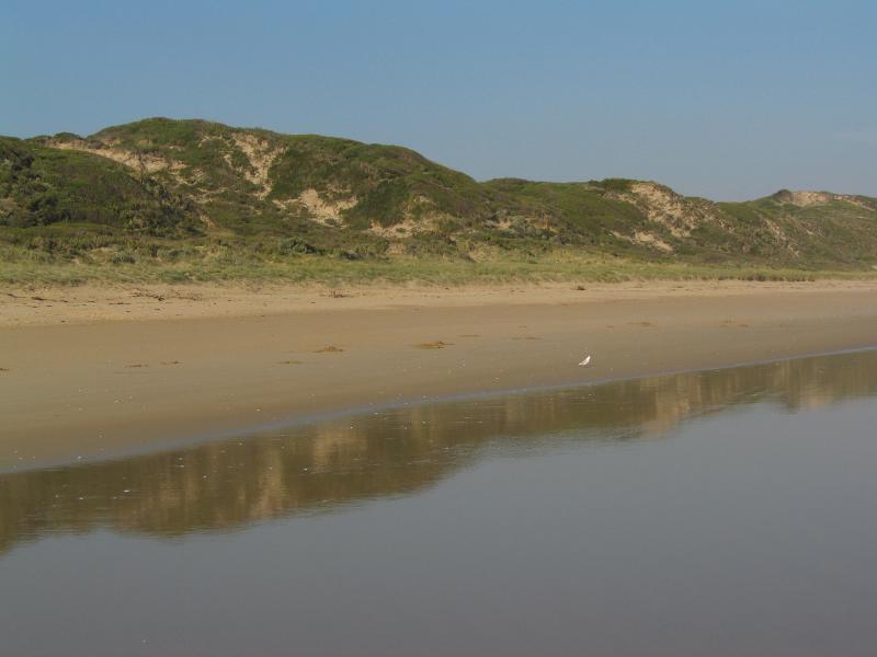
View of sand dunes from beach

View north-east along Surf Dr between Surf Life Saving Club and Jupiter Bvd

View south-east along Lees Rd, west of Canterbury Rd
View towards end of No. 4 Beach Rd
View from No. 4 Beach Rd down to beach
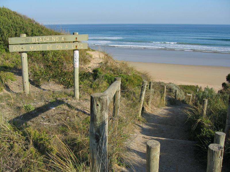
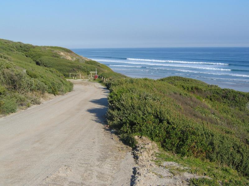
Path from car park down to beach
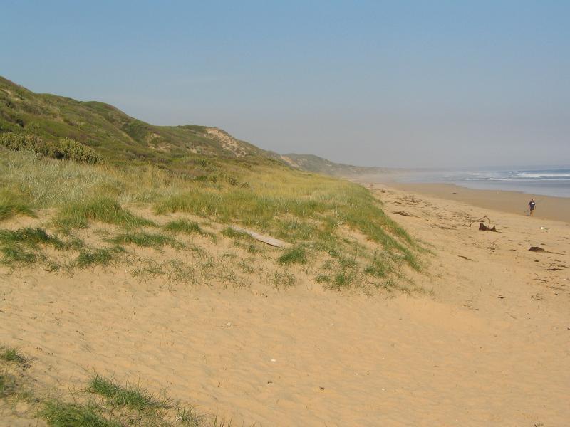
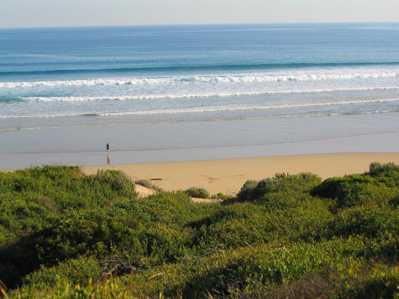
View south-east along beach
Sand dunes along beach
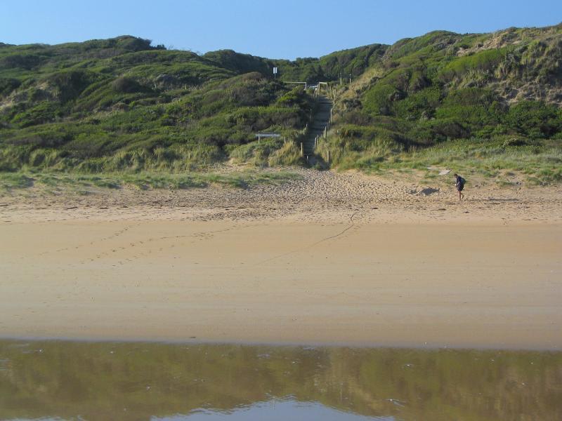
View from beach towards sand dunes and path from car park

Playground
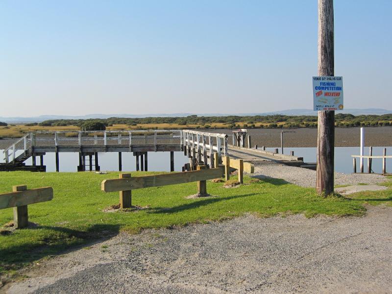
View towards jetty and boat ramp from car park

Boat ramp
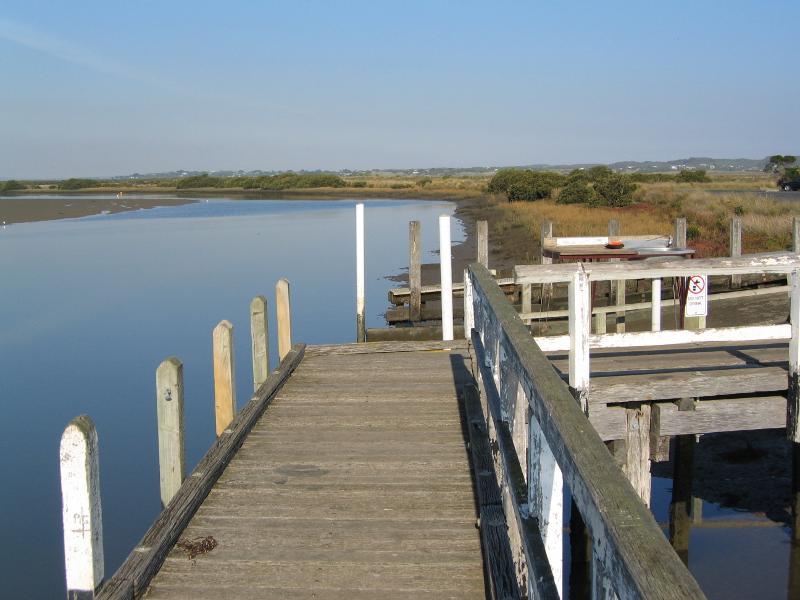
View south-east along Anderson Inlet from jetty

View north-east across Anderson Inlet from jetty

View south-east along Anderson Inlet from car park
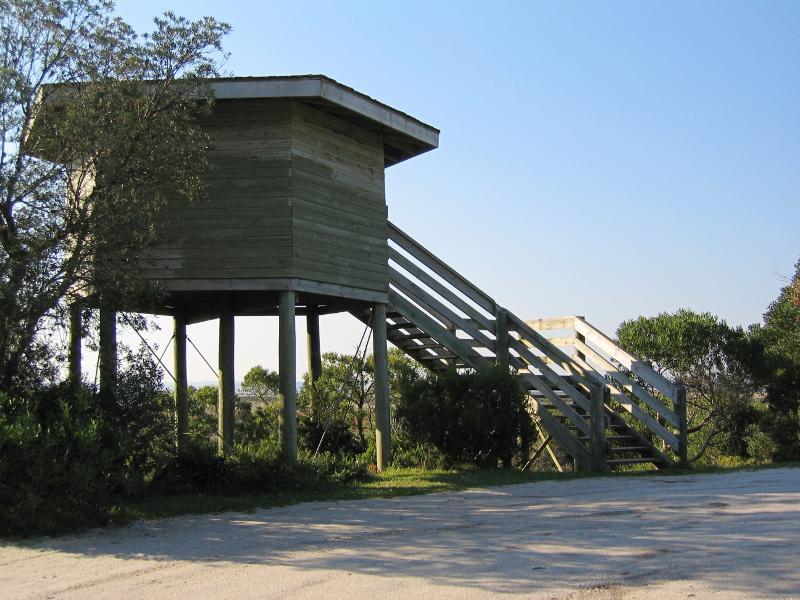
Viewing platform

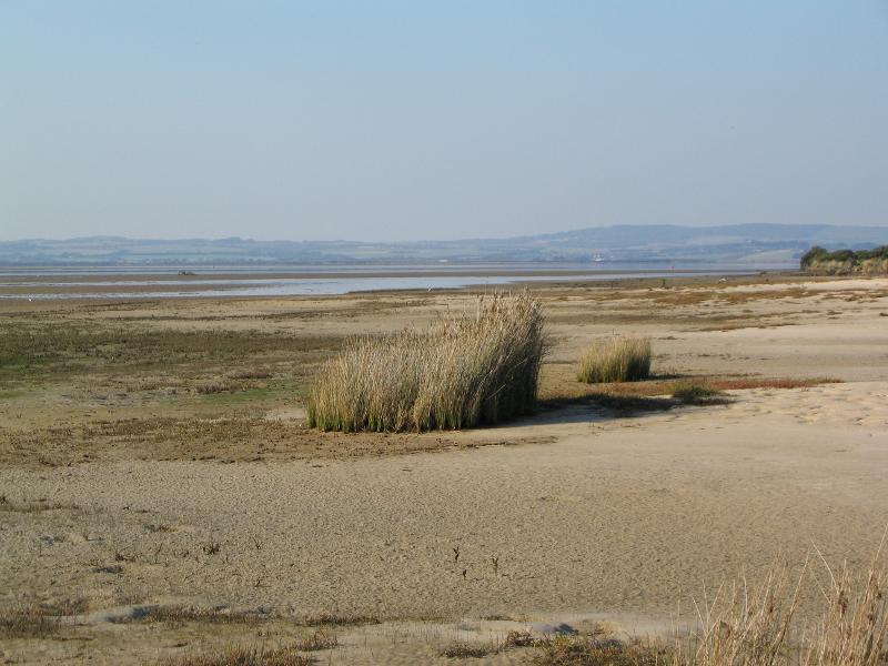
View north-east across wetlands from viewing platform
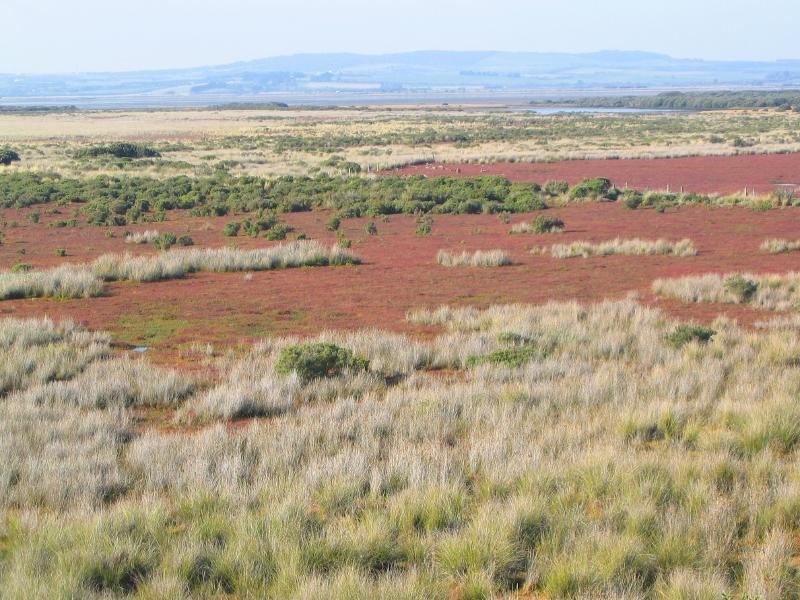
View north across wetlands from viewing platform
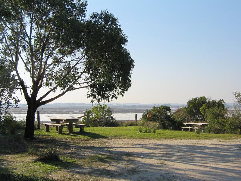
Picnic area at car park
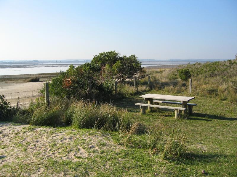
View towards Anderson Inlet from picnic area
View across wetlands and beach
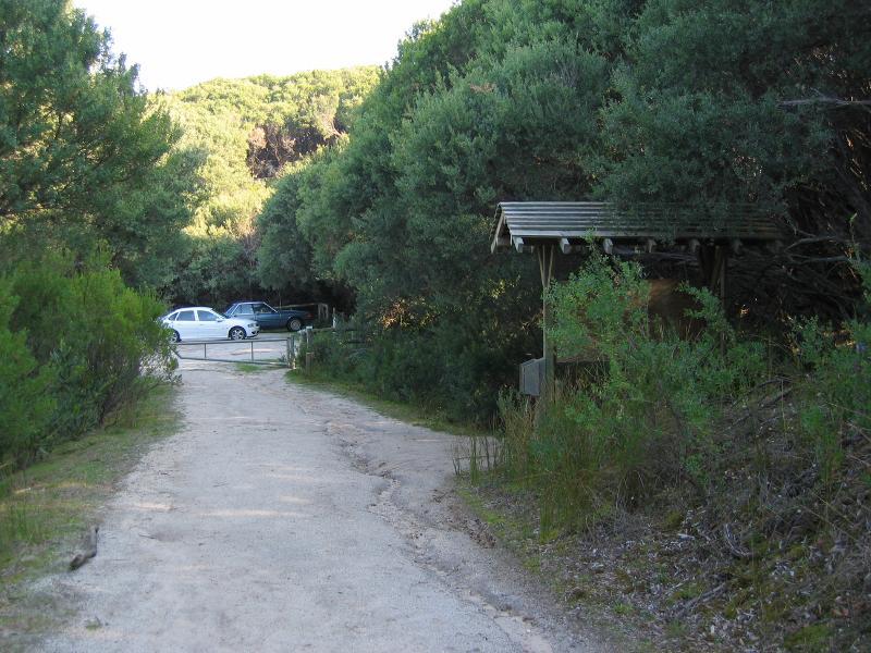
Walking track through bush near car park
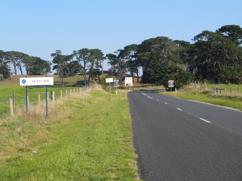
View Bay town sign, view south-west along Evergreen Rd
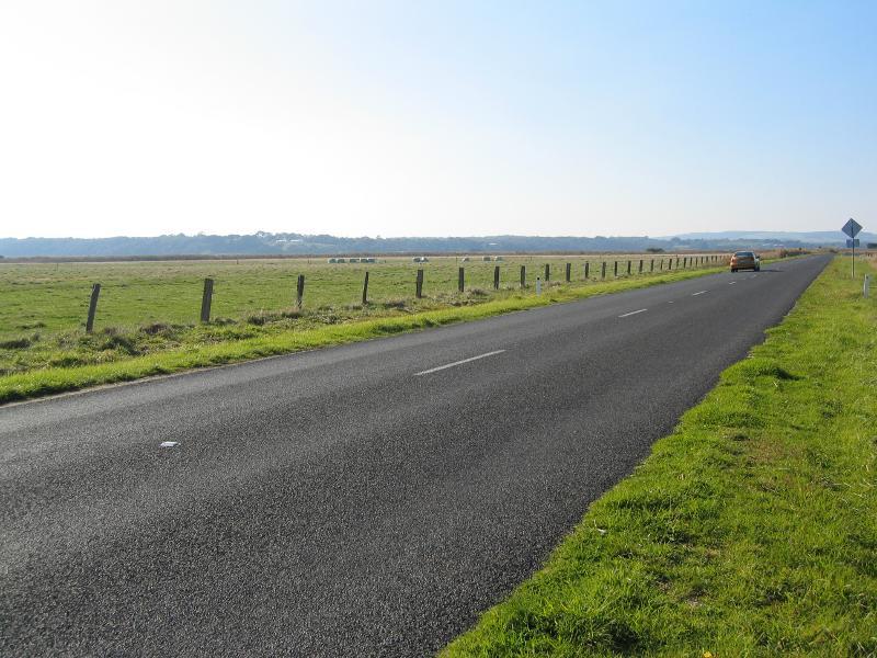
View north-east along Evergreen Rd
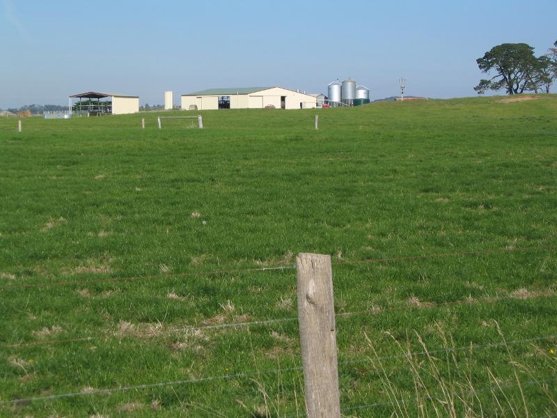
South-easterly view across fields