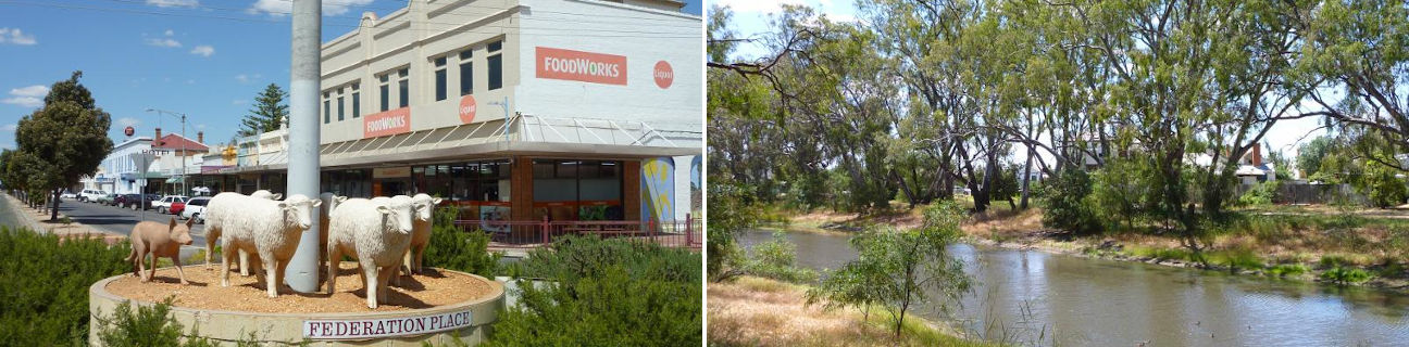
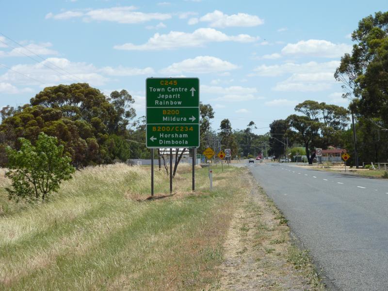
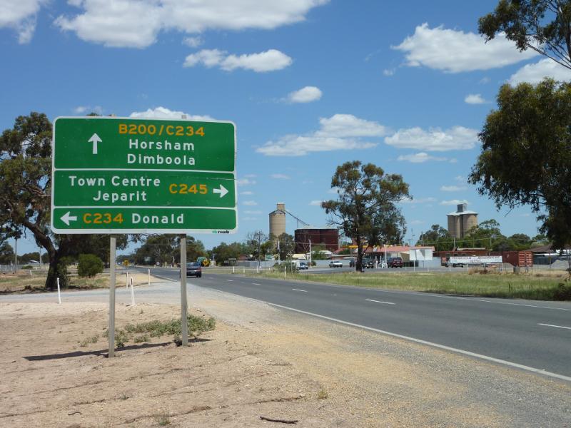
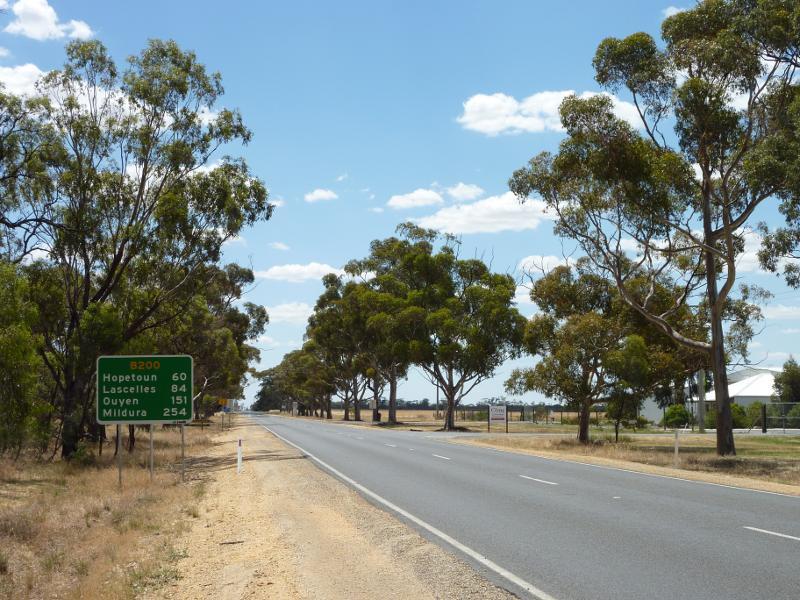
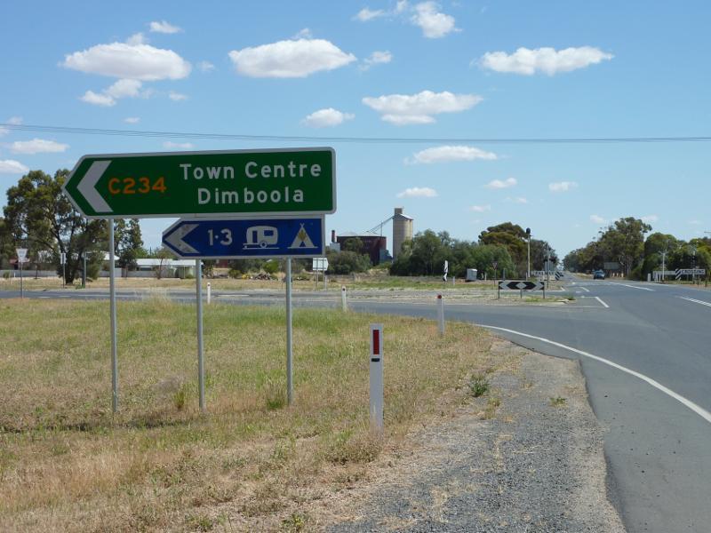
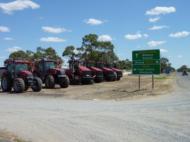
Warracknabeal - photos
Warracknabeal
Stay
See and do
Food and drink
Shopping
Getting around
Visitor information
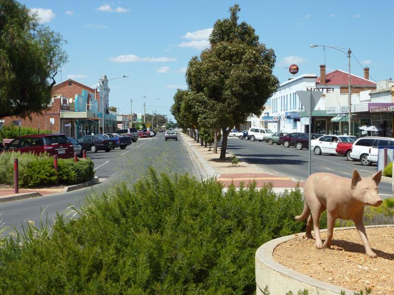
View north along Scott St at Lyle St
East side of Scott St between Lyle St and Woolcock St
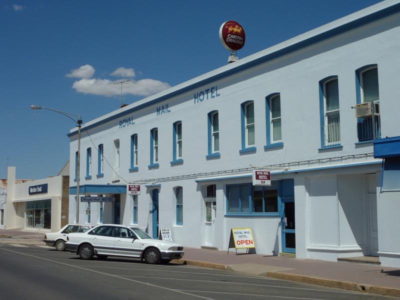
Royal Mail Hotel, west side of Scott St between Lyle St and Woolcock St
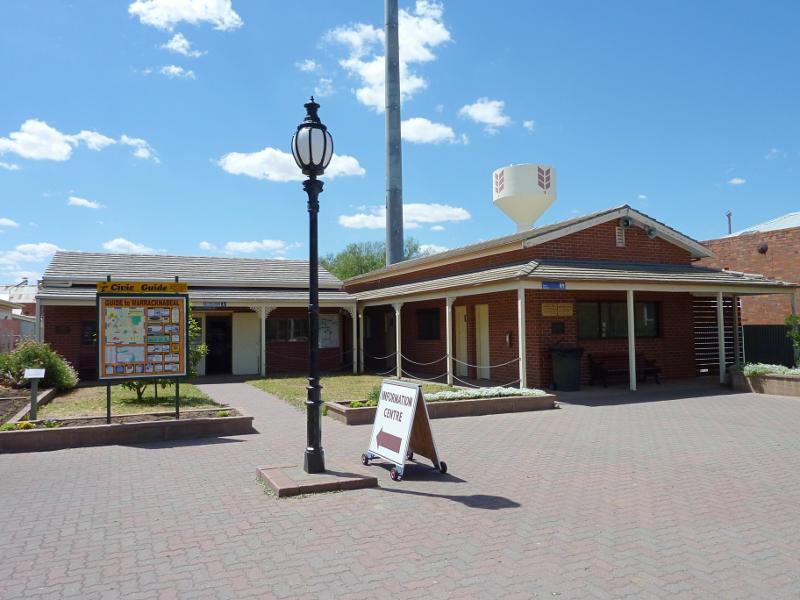
Tourist information centre, east side of Scott St between Lyle St and Woolcock St
View south along Scott St at Woolcock St
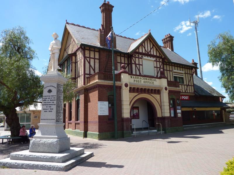
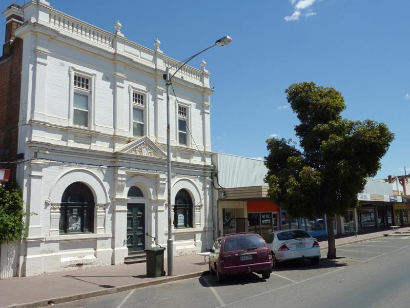
Warracknabeal Post Office, corner Scott St and Woolcock St
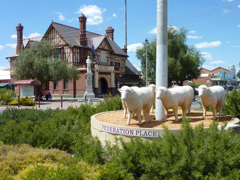
View towards Warracknabeal Post Office from roundabout at Scott St and Woolcock St
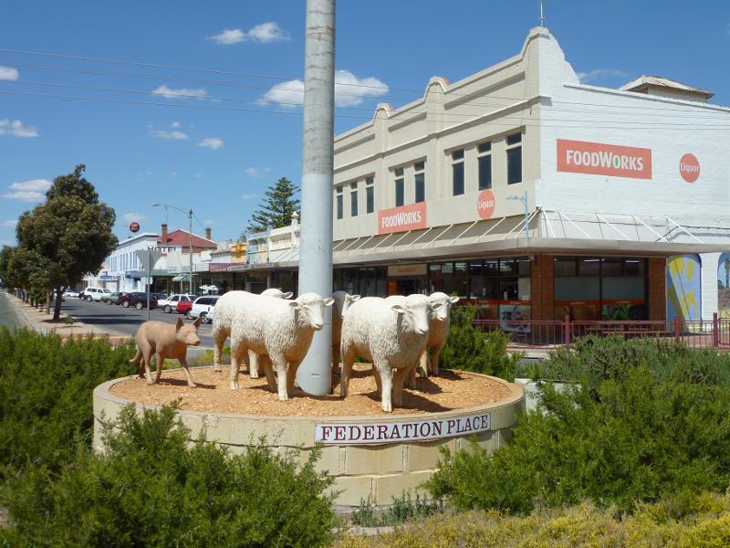
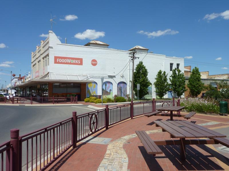
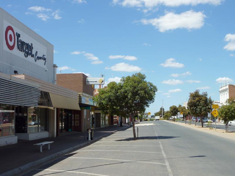
Supermarket, view south along Scott St at Woolcock St
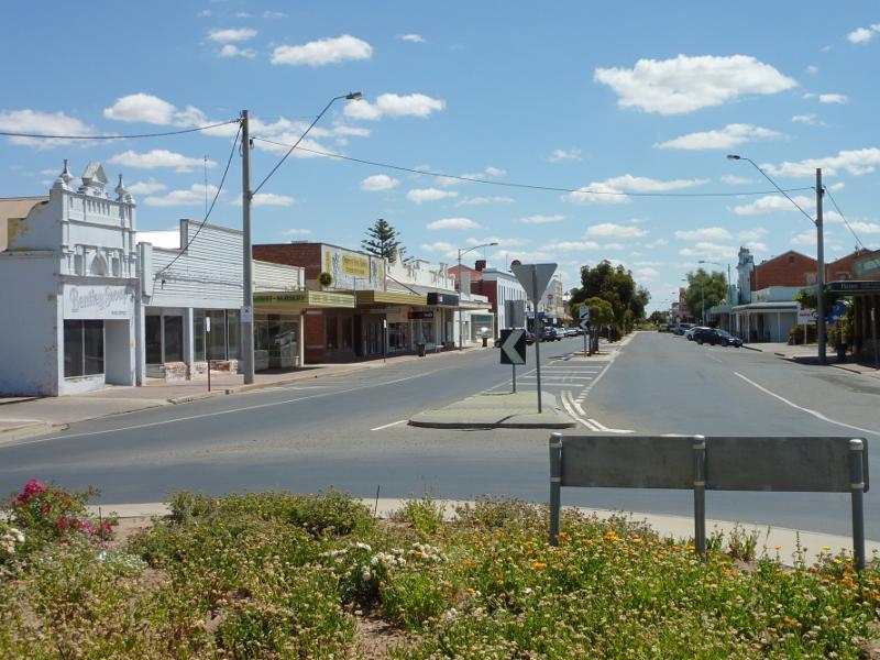
View south along Scott St towards Woolcock St
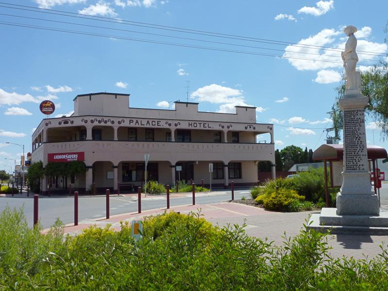
Palace Hotel, view north along Scott St towards Woolcock St
View north along Scott St at Woolcock St
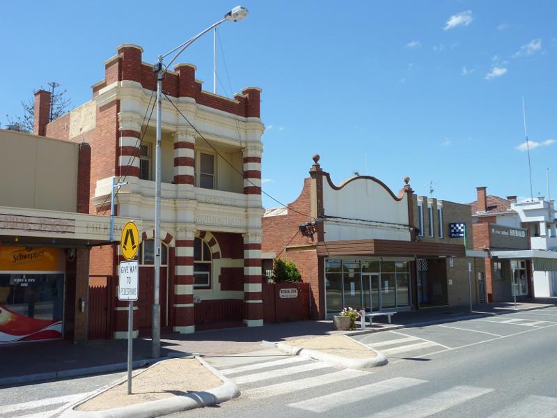
Historical Centre and shops along east side of Scott St between Woolcock St and Phillips St
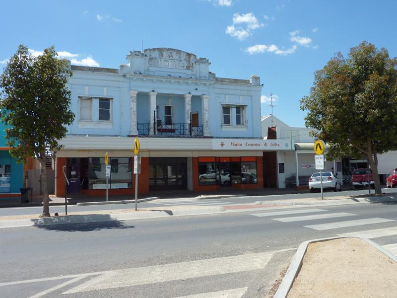
Shops along west side of Scott St between Woolcock St and Phillips St
View south along Scott St between Woolcock St and Phillips St
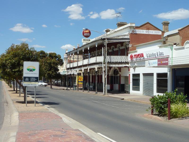
View south along Scott St near Phillips St towards Warracknabeal Hotel
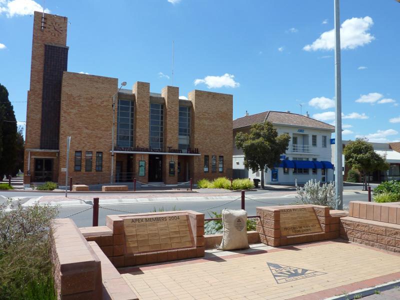
View east across Scott St at Phillips St towards Warracknabeal Town Hall
View south along Scott St at Phillips St

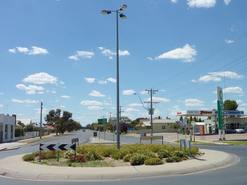
View south along Scott St at Phillips St roundabout
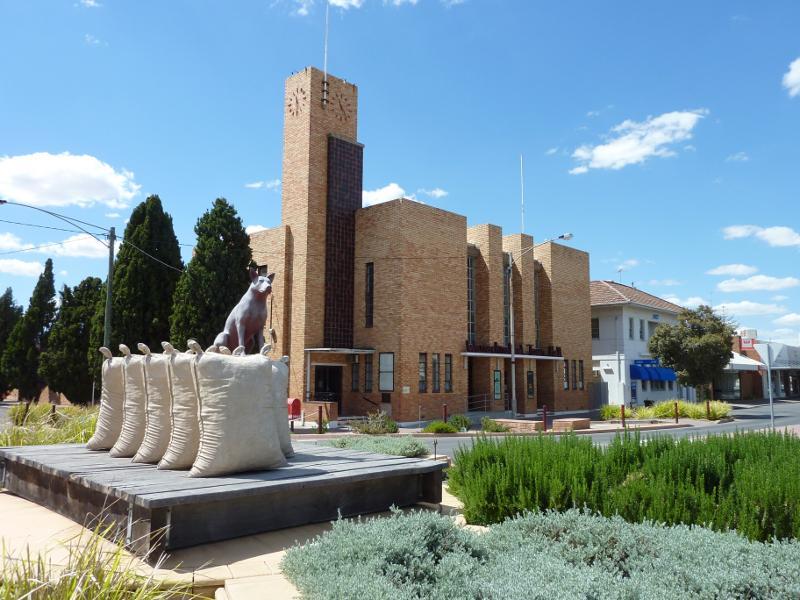
View of Warracknabeal Town Hall from roundabout at Scott St and Phillips St
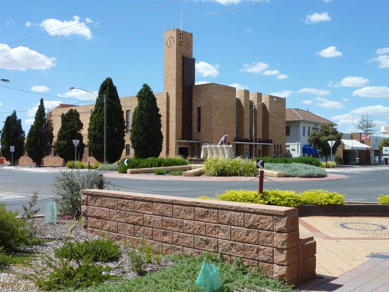
View south along Scott St towards Phillips St and Warracknabeal Town Hall
View north along Scott St towards Phillips St
View north along Scott St from roundabout at Phillips St
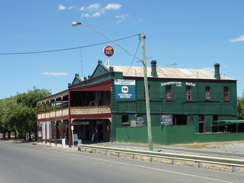
Commercial Hotel, west side of Scott St between Phillips St and Kelsall St
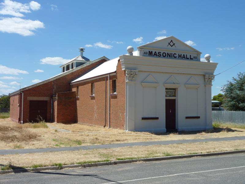
Masonic Hall, corner Scott St and Kelsall St
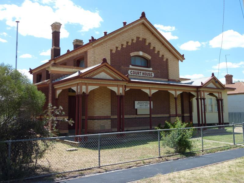
Old court house, corner Woolcock St and Devereux St
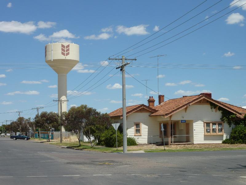
View south along Devereux St at Woolcock St towards water tower
View east along Lyle St at Scott St
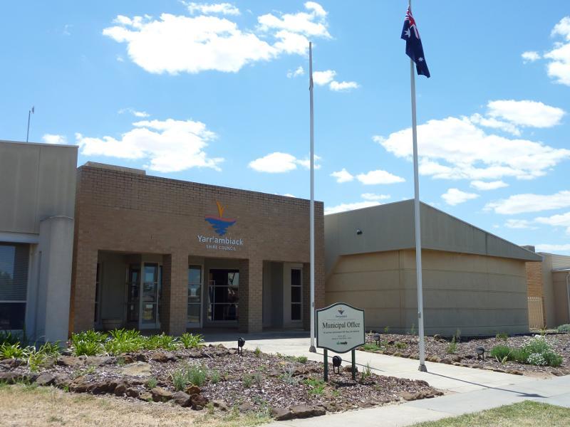
Yarriambiack Shire Council, corner Lyle St and Anderson St
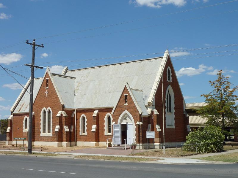
Anglican Church, corner Lyle St and Anderson St
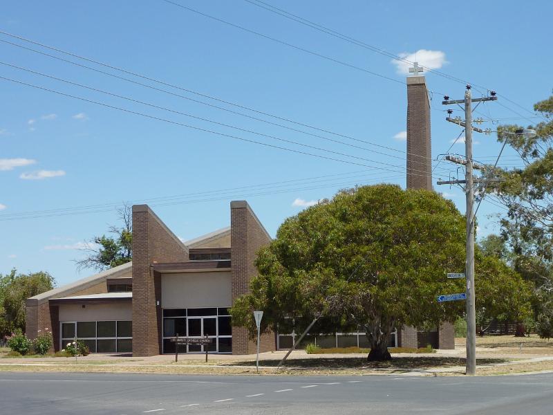
St Mary's Church, corner Lyle St and Anderson St
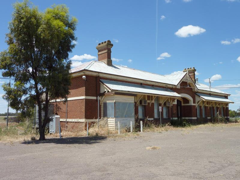
Railway station viewed from car park
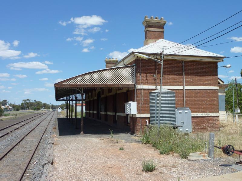
View south-east along railway at platform
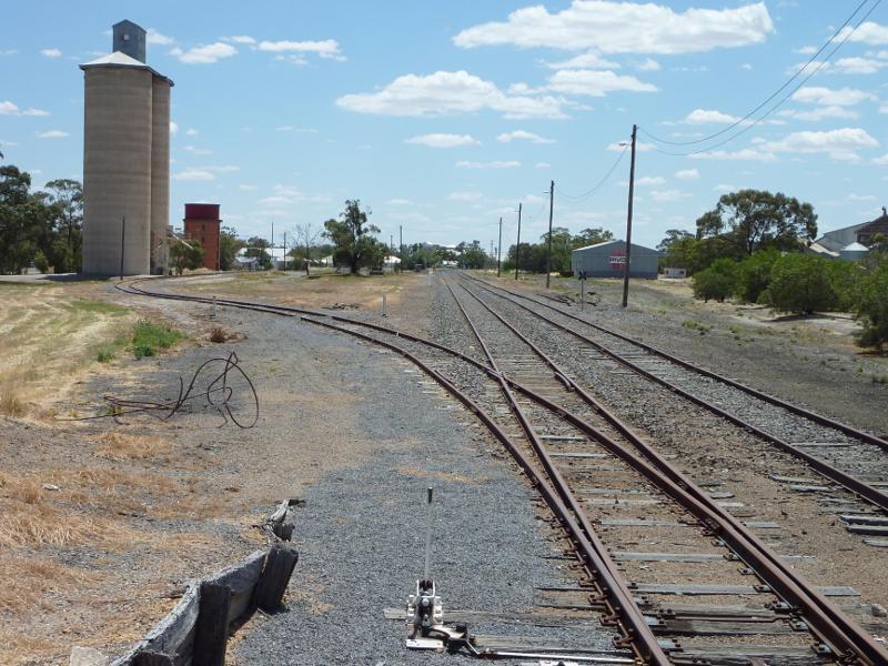
View north-west along railway from station platform towards silos
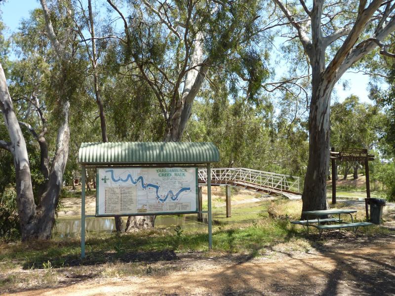
Yarriambiack Creek Walk sign, near northern end of Scott St
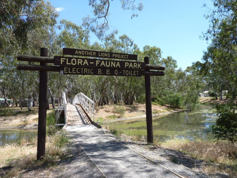
View west towards footbridge over creek and into Lions Park, near northern end of Scott St
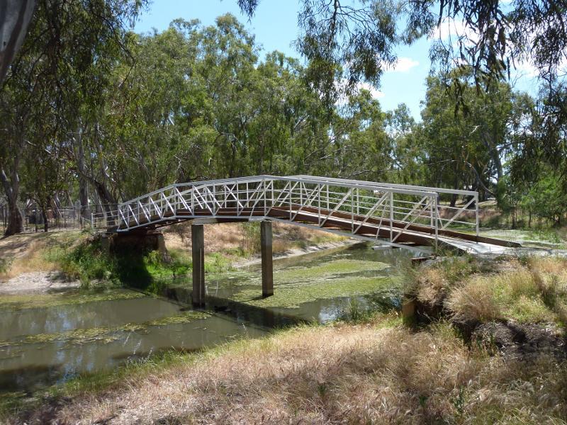
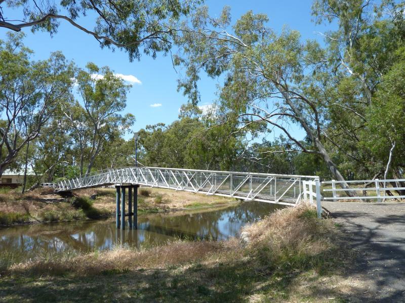
Footbridge across creek into Lions Park, near northern end of Scott St
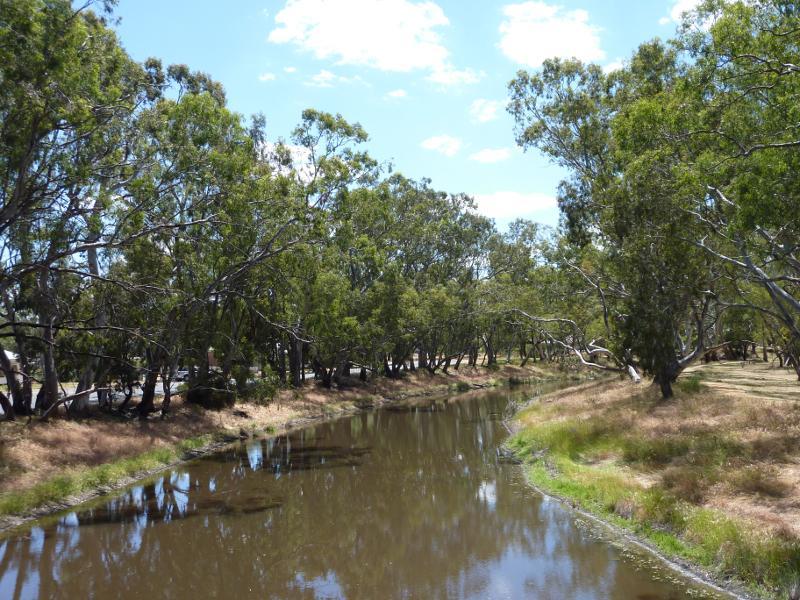
View north along creek from footbridge into Lions Park
View south along creek from footbridge into Lions Park
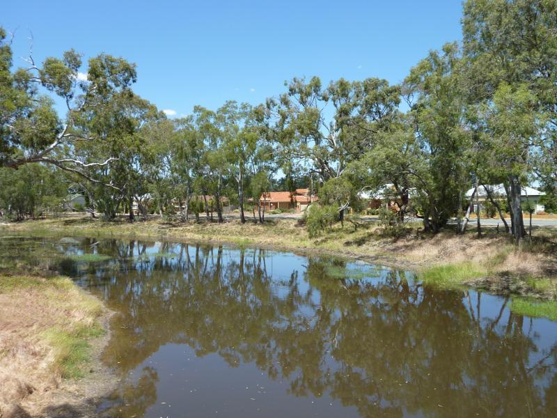
View from west side of creek, southern end of Lions Park
View north-east along creek from Jamouneau St bridge
View south-west along creek from Jamouneau St bridge
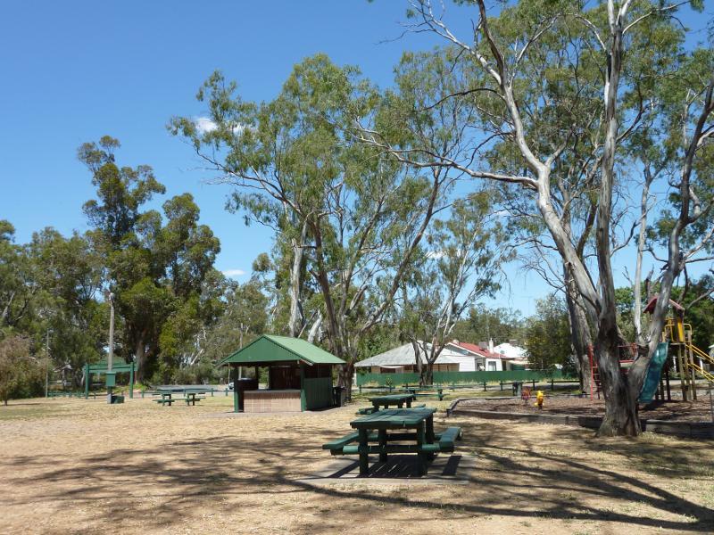
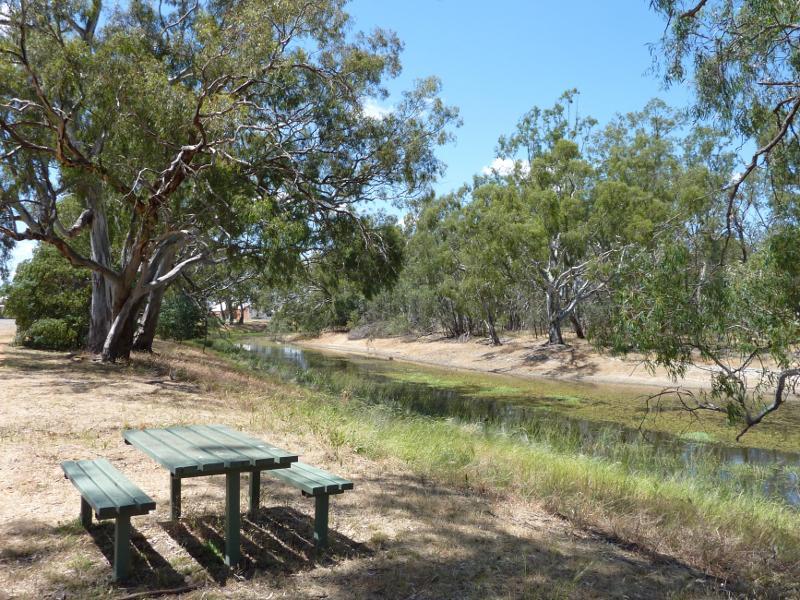
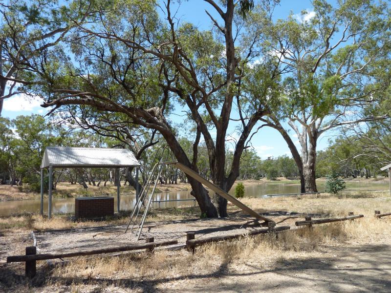
Picnic area and playground, Lions Park
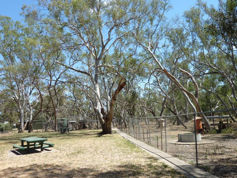
Animal enclosures, Lions Park
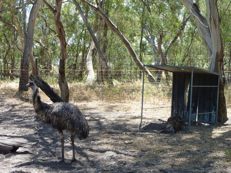
Emu enclosure, Lions Park
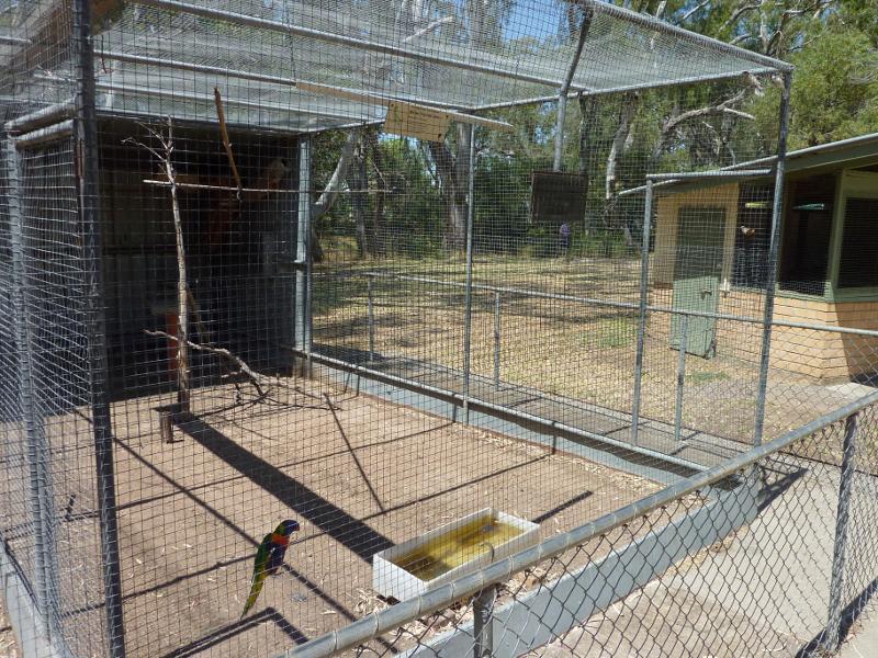
Parrot in bird enclosure, Lions Park
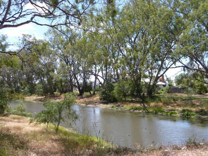
View south-east along creek
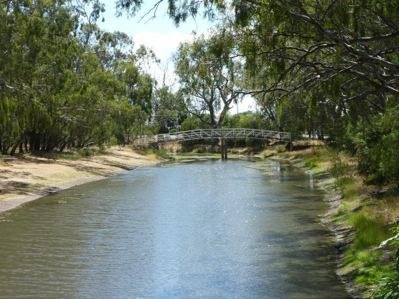
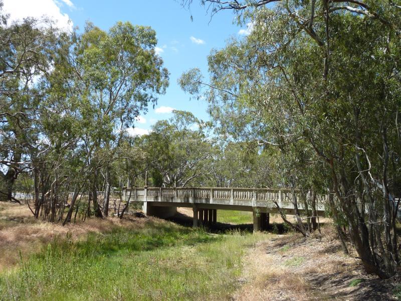
Half Moon Bridge across creek
View north along creek from footbridge
View south along creek from footbridge
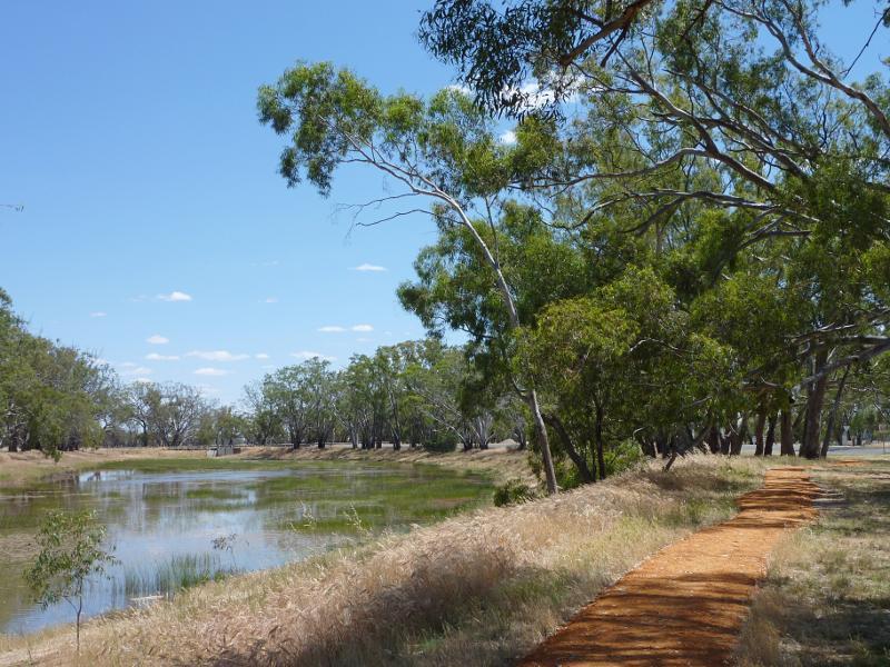
View north-west along walking track and creek
View west across creek
View west towards creek
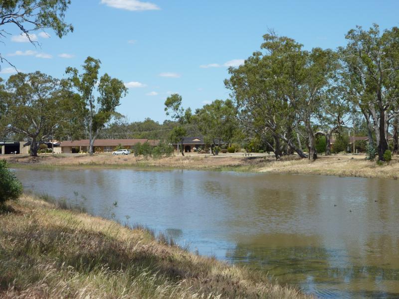
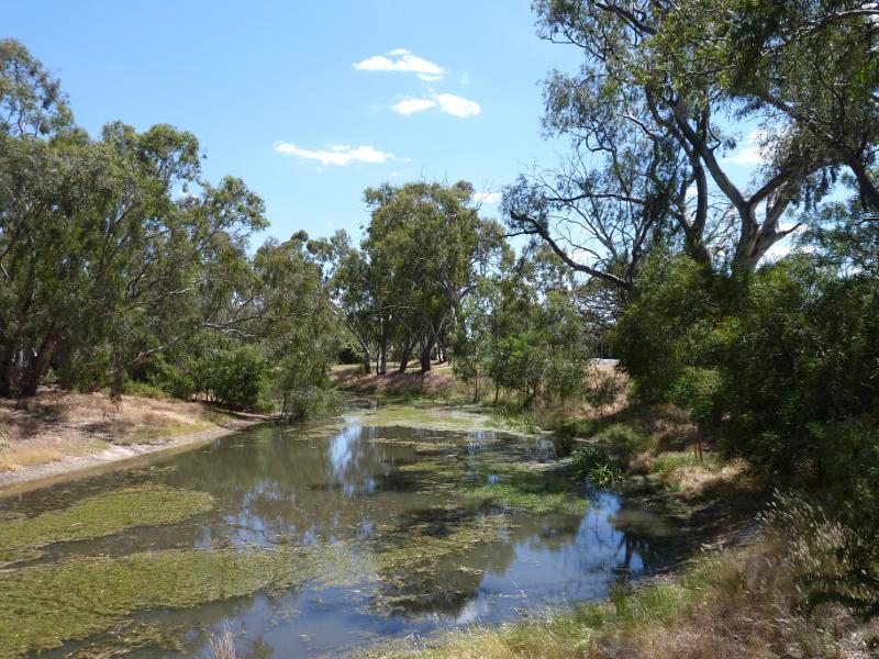
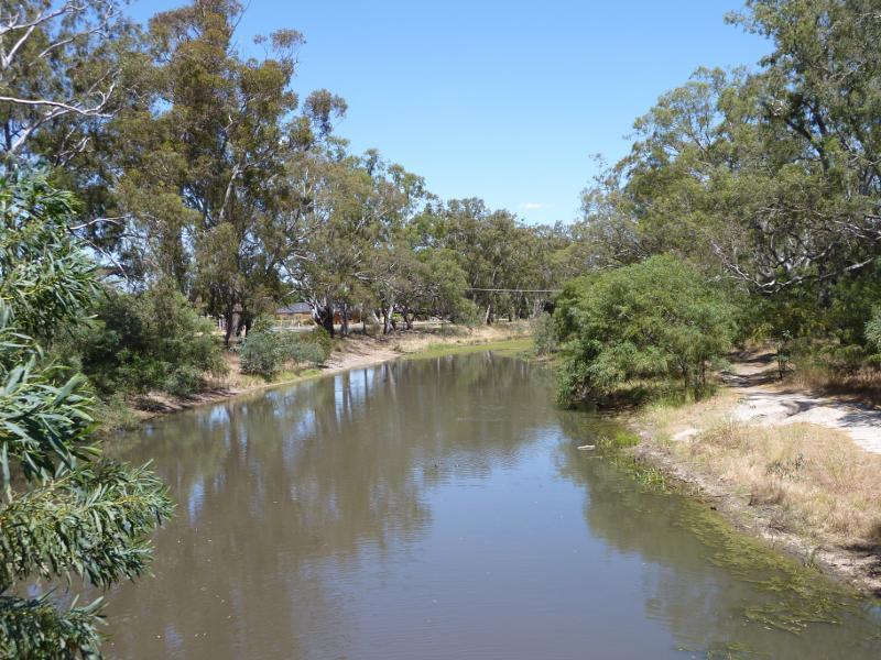
View south along creek
View south along creek at bridge
View east along Rainbow Rd towards bridge
Southerly view towards wheat fields, Craig Av near Rainbow Rd
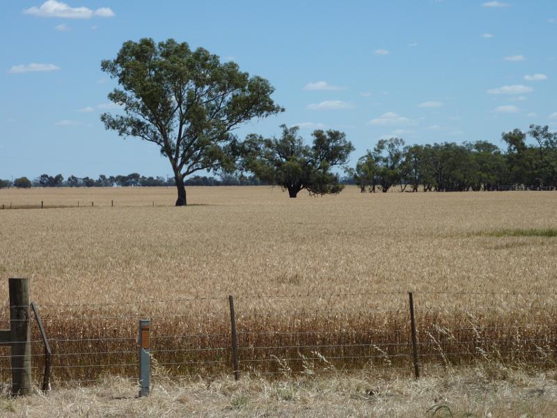
North-westerly view towards wheat fields, Rainbow Rd at Craig Av
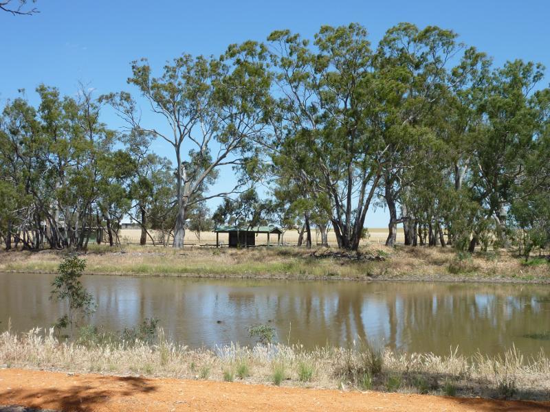
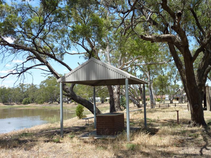
View east across creek towards BBQ shelter
View south-east along creek at BBQ shelter
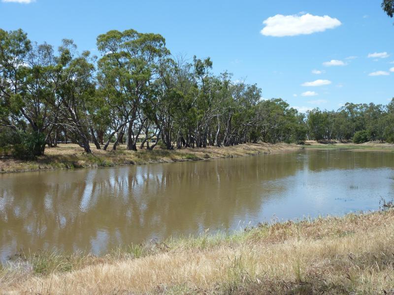
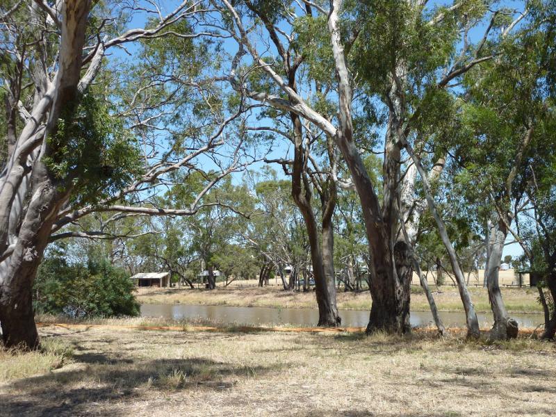
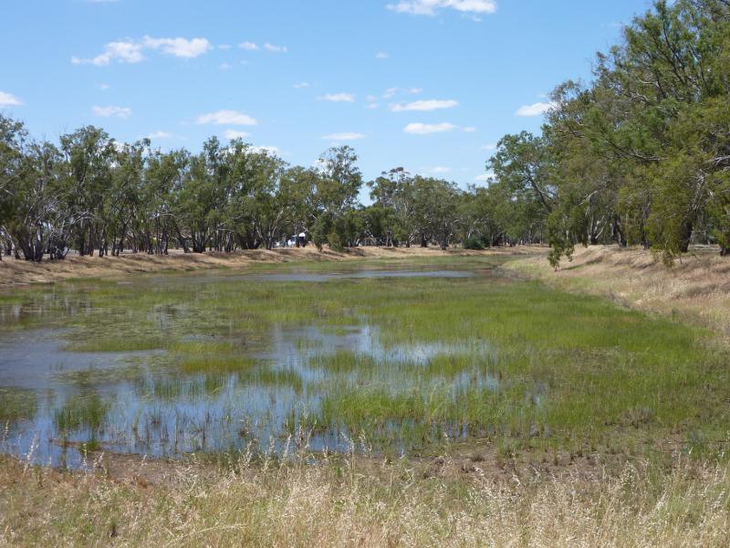
View south-east along creek
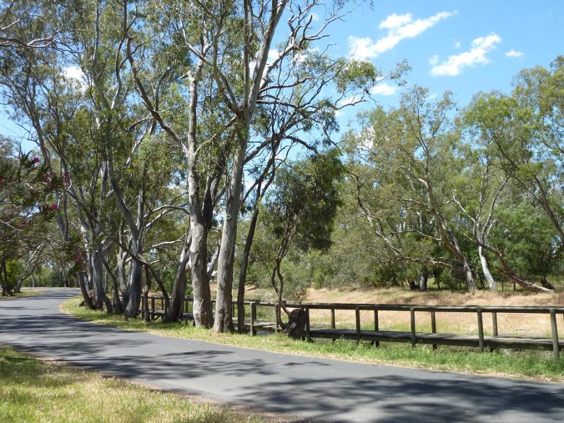
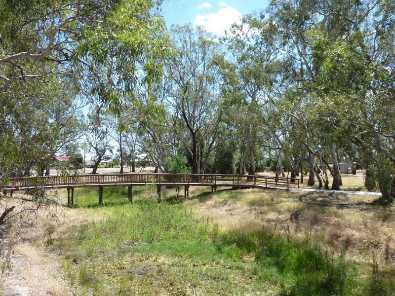
View east along Craig Av at boardwalk
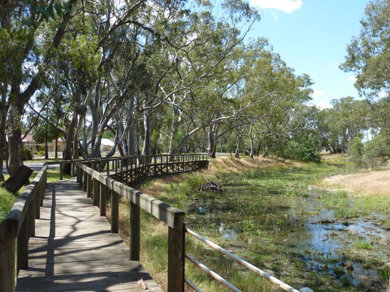
View east along boardwalk and creek
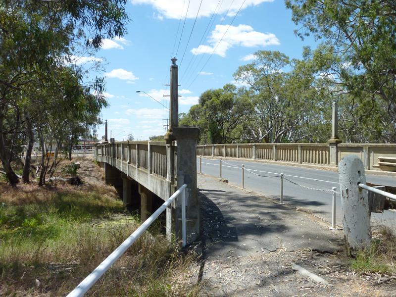
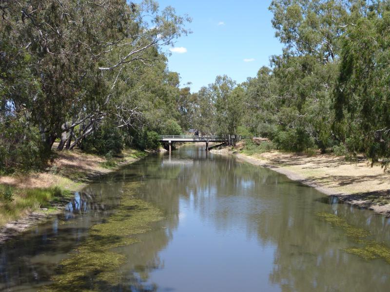
View east across Dimboola Rd bridge
View north along creek from Dimboola Rd bridge
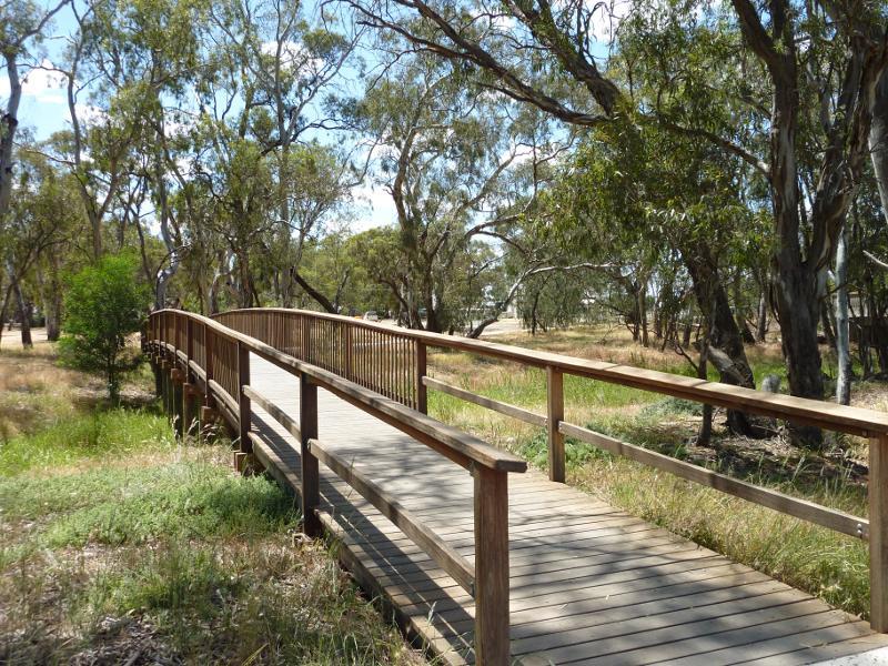
View along footbridge across creek north of Dimboola Rd
View south along creek from footbridge towards Dimboola Rd bridge
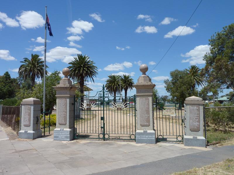
Entrance gates, corner Scott St and Arnold St
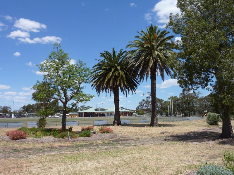
View towards oval and pavillion
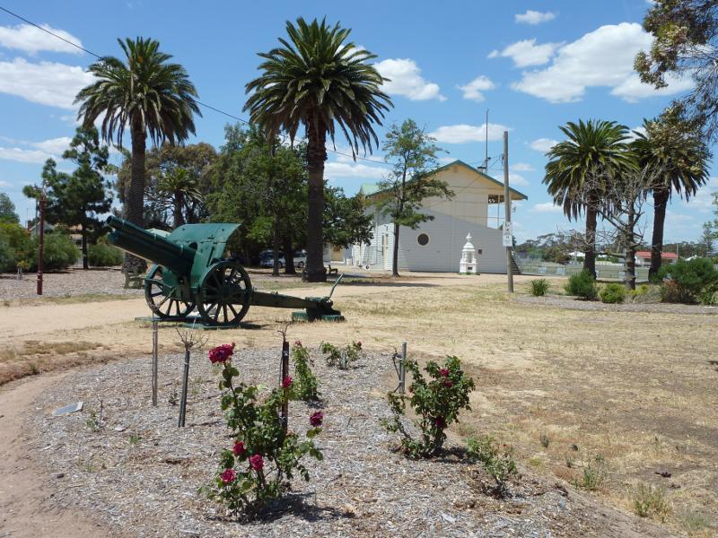
View across gardens towards grandstand
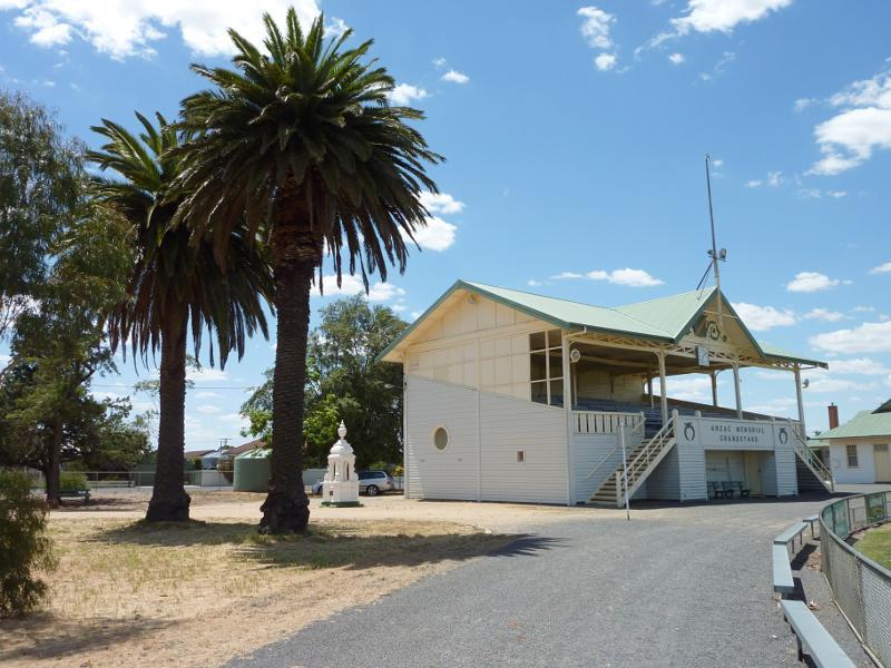
View towards grandstand
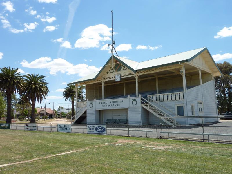
Anzac Memorial Grandstand viewed from oval
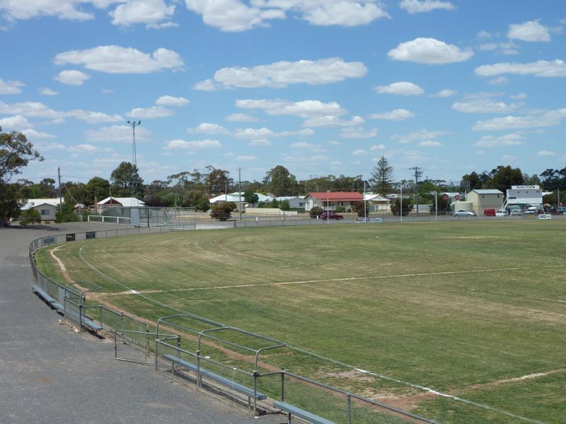
View from grandstand across oval
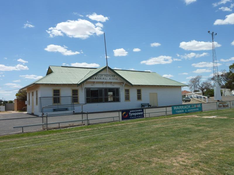
Molly Taylor Memorial Kiosk viewed from oval
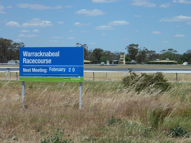
View south across Warracknabeal Racecourse from Borung Hwy
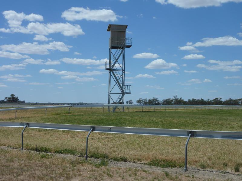
View across racetrack from entrance at Henty Hwy
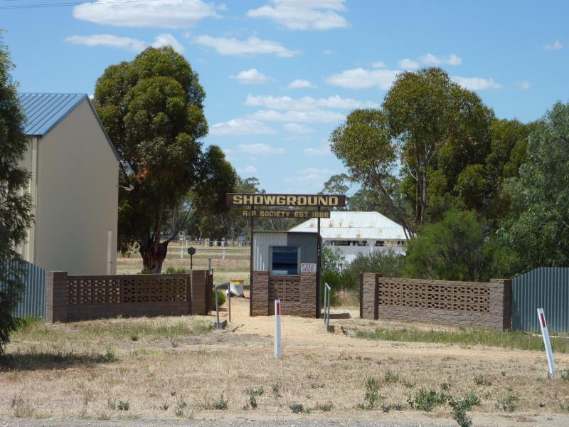
Entrance to showgrounds at Henty Hwy
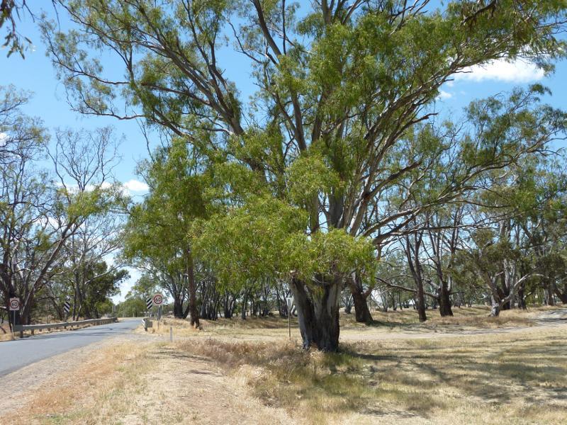
View west along Borung Hwy towards Henty Hwy
View east along Borung Hwy east of Henty Hwy
View south along Henty hwy towards Borung Hwy
View north along Henty Hwy, north of Borung Hwy
View north along Henty Hwy towards Lyle St
View north along Henty Hwy towards Minyip Rd
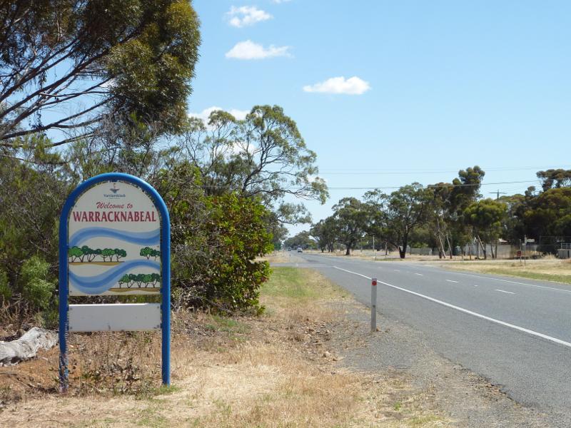
Welcome to Warracknabeal sign, view north along Henty Hwy towards Gardiner St
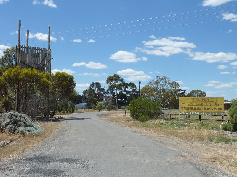
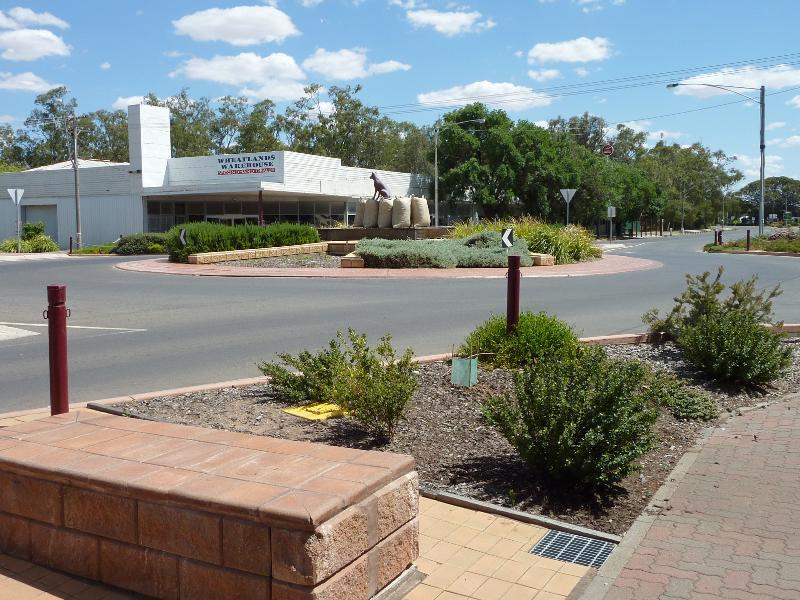
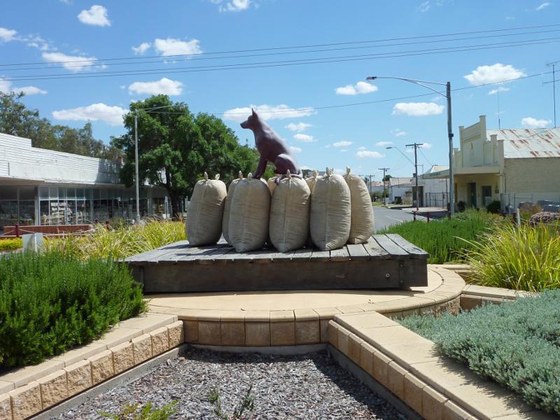
Entrance to Wheatlands Agricultural Machinery Museum, Henty Hwy south of Gardiner St
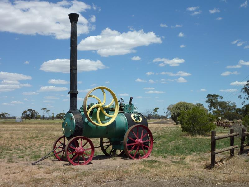
Old farm machinery at entrance to Wheatlands Agricultural Machinery Museum
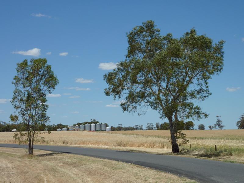
View north along Henty Hwy, 2.5 km north of Ailsa Rd
Westerly view, 2.5 km north of Ailsa Rd
Easterly view, 2.5 km north of Ailsa Rd
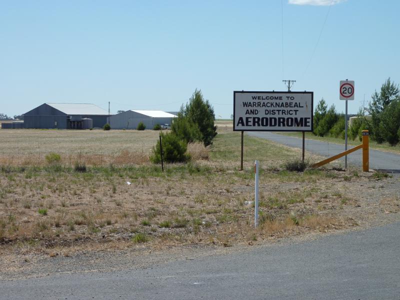
Entrance to Warracknabeal Aerodrome
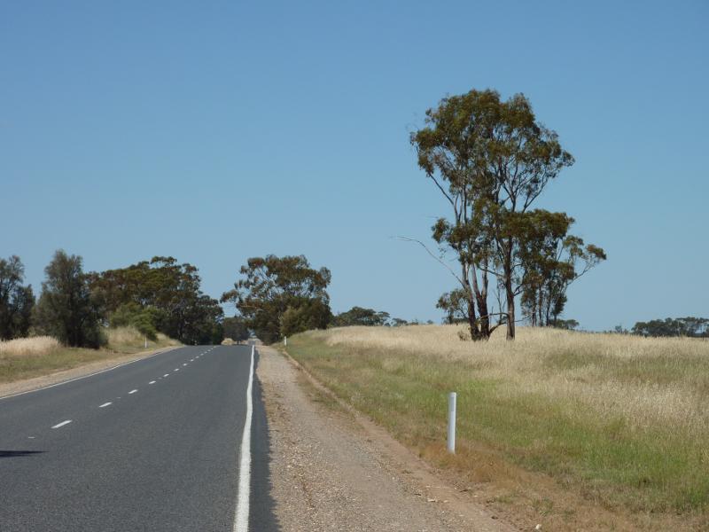
View south along Henty Hwy at Warracknabeal Aerodrome