Anakie - photos
Anakie
Stay
See and do
Food and drink
Shopping
Getting around
Visitor information

Anakie General Store
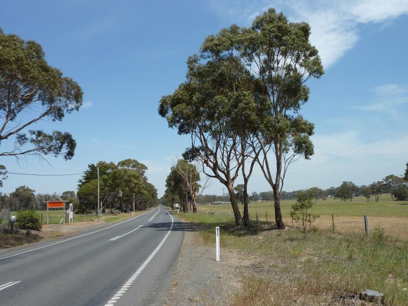
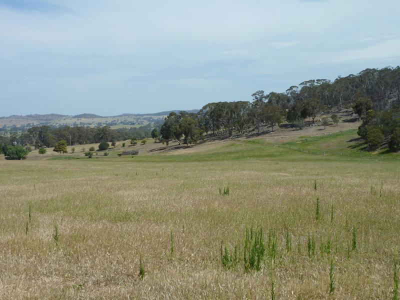
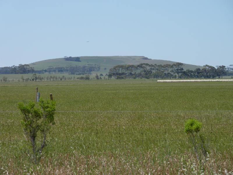
View south along Ballan Rd, 1.5 km north of general store
Westerly view, Ballan Rd, 1.5 km north of general store
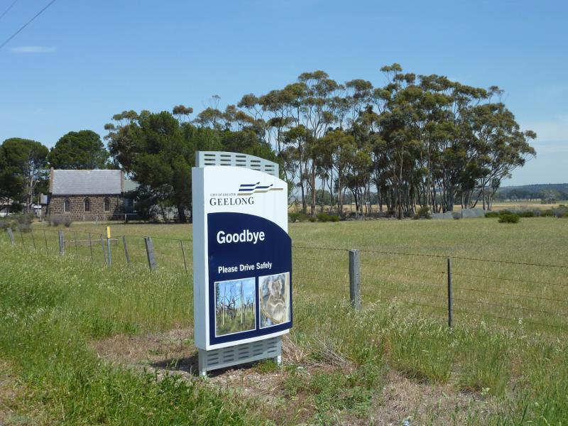
Old church, east side of Ballan Rd, 1.5 km north of general store

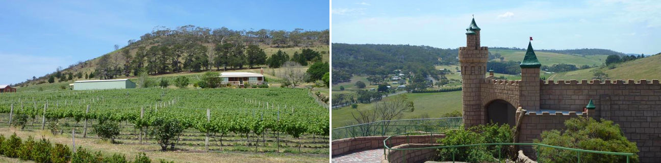
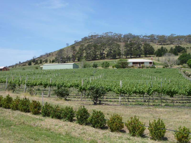
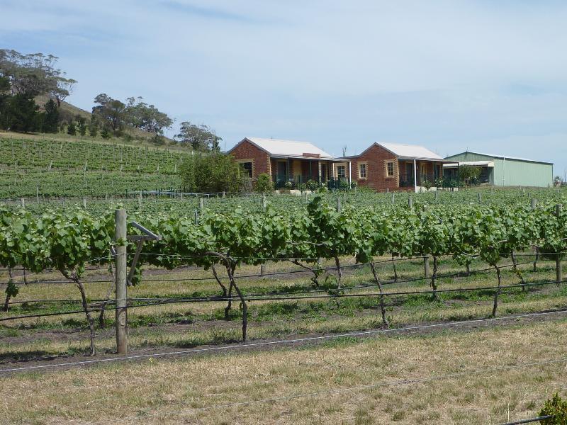
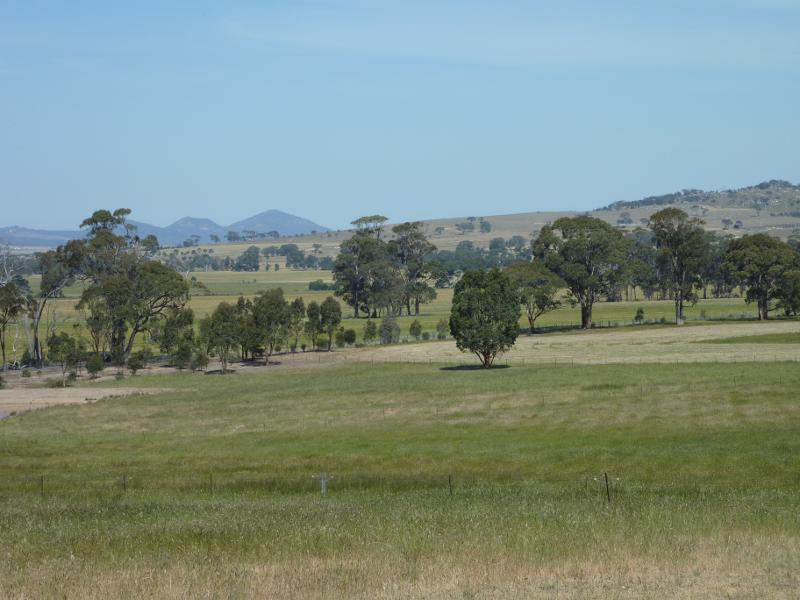
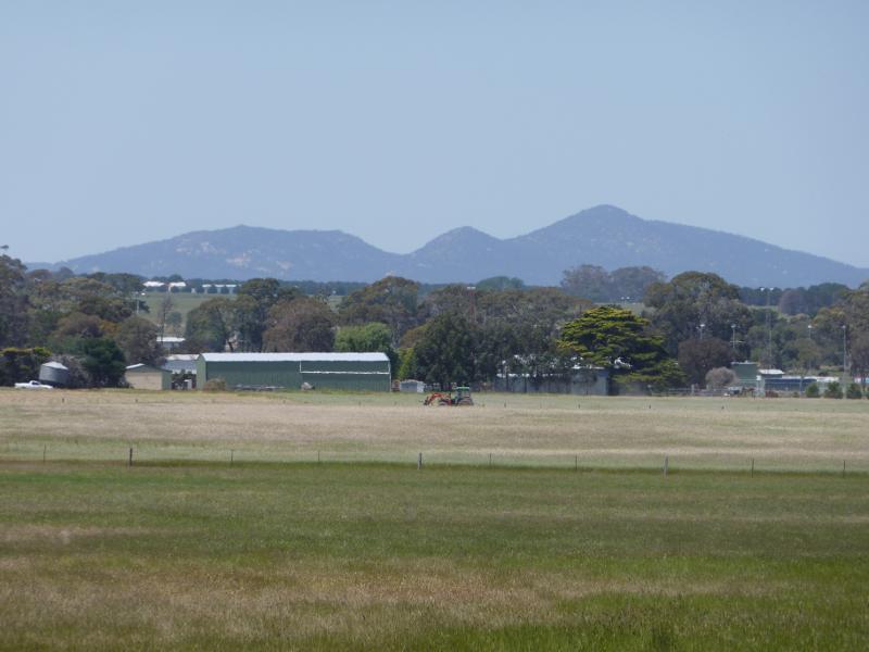
Easterly view towards Del Rios Winery
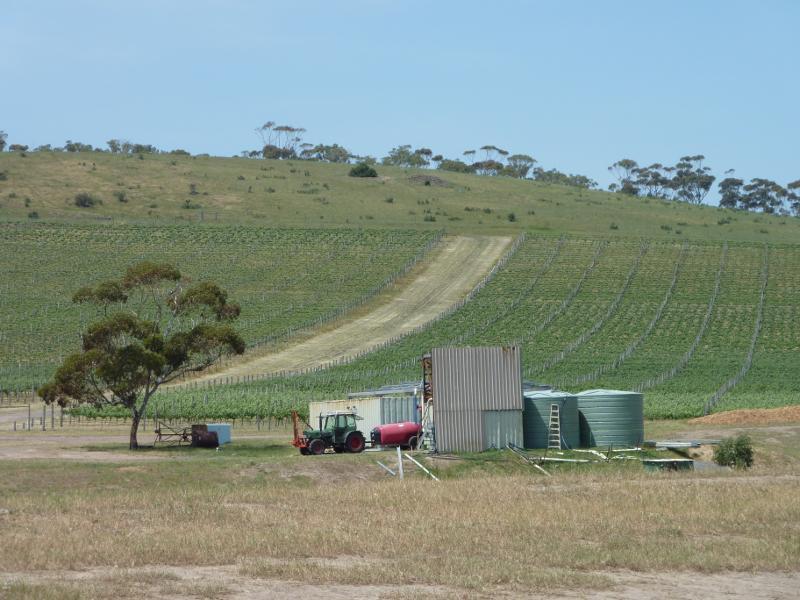
Easterly view towards Del Rios Winery
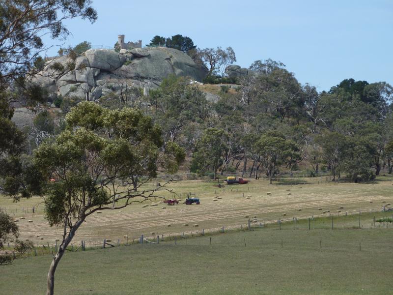
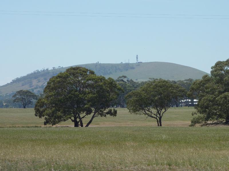
North-east view towards Elephant Rock and Fairy Park
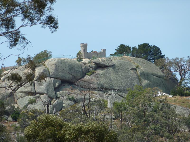
View towards top of Elephant Rock
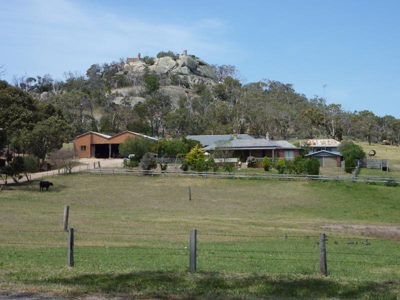
Easterly view towards Elephant Rock from near entrance to Fairy Park
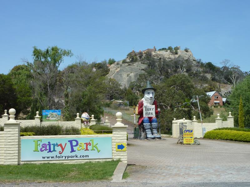
Entrance to Fairy Park viewed from Ballan Rd

Entry gate with Elephant Rock in background
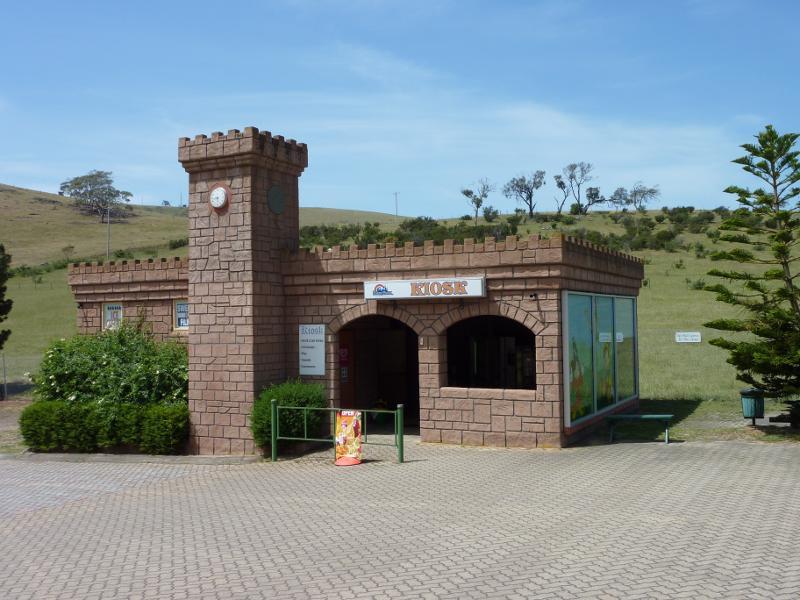
Kiosk and gift shop at car park
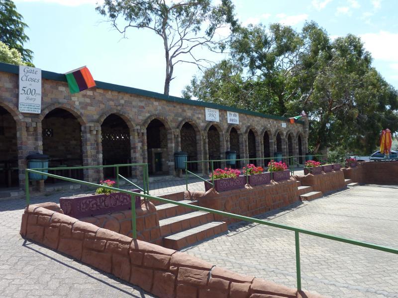
Ye Olde Shelter (BBQ shelter) at car park
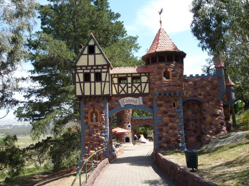
Entrance to Camelot Playground
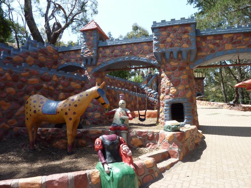
Inside Camelot Playground
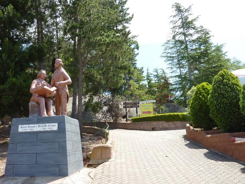
Brothers Grimm Monument at start of main pathway through the park
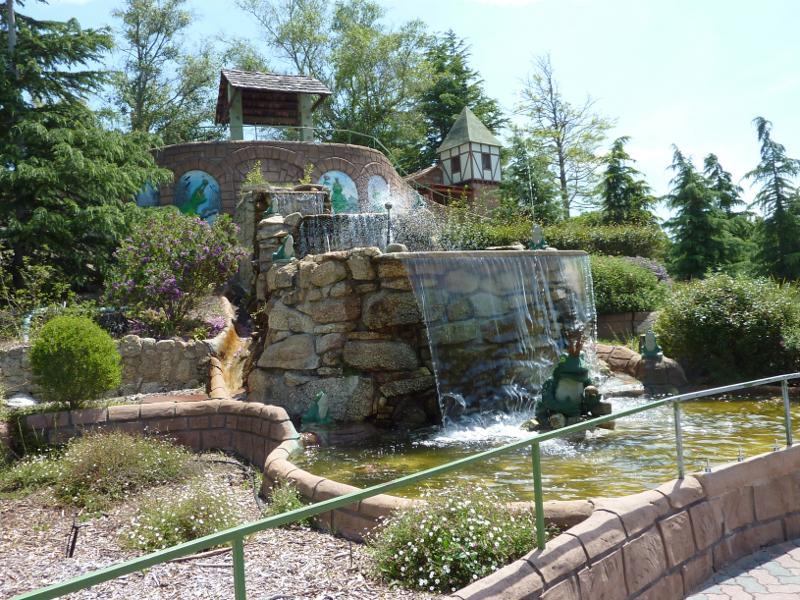
Waterfall and Frog Prince
Pathway near waterfall and Frog Prince
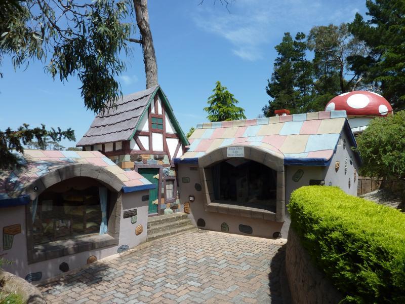
Snow White & The 7 Dwarfs
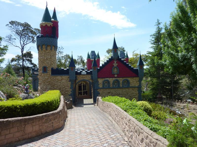
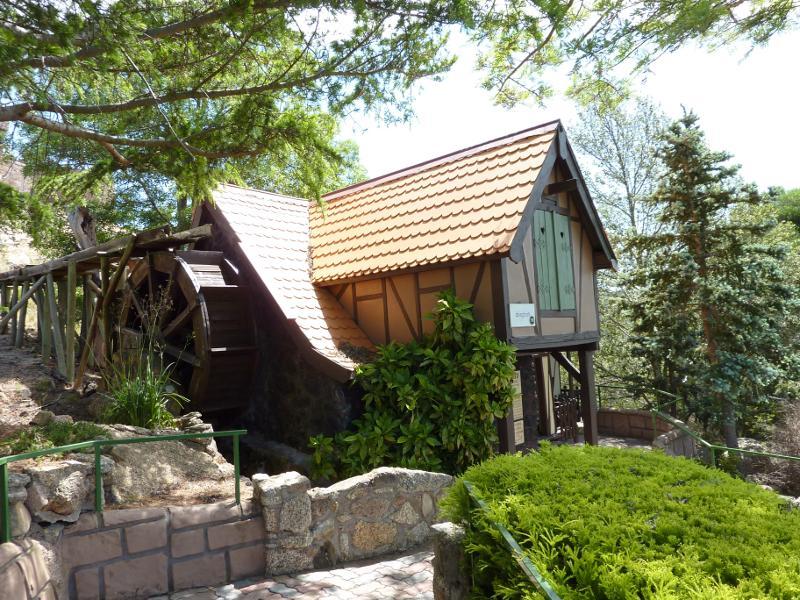
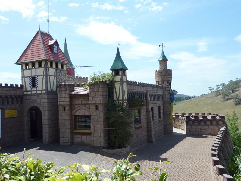
Fairy Castle

The Cave
View towards Goldilocks & The 3 Bears with Mt Anakie in background

Pathway beside Pinnochio
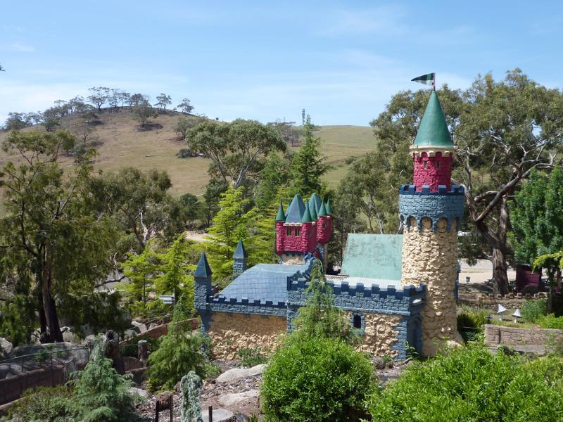
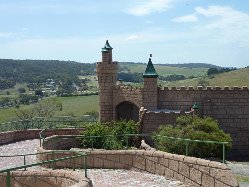
View over Fairy Castle towards Mt Anakie
Siegfried The Nibelung
The Town Musicians
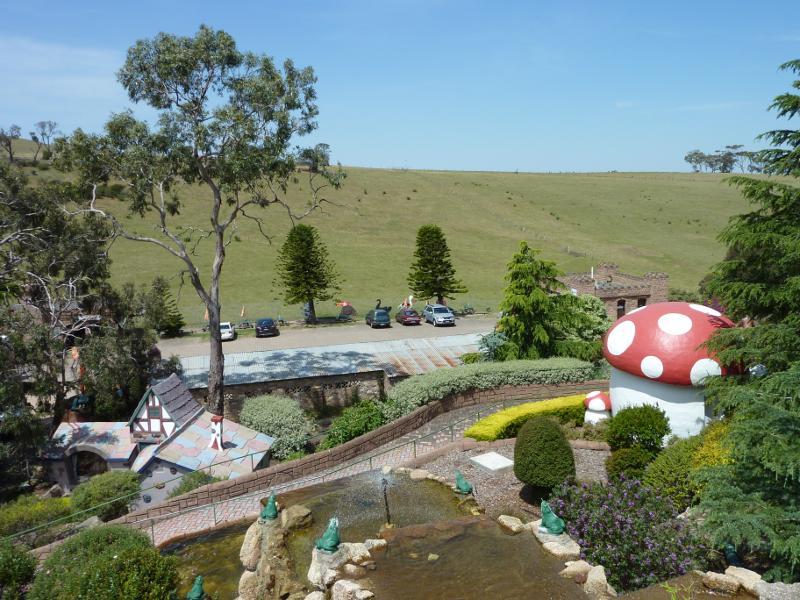
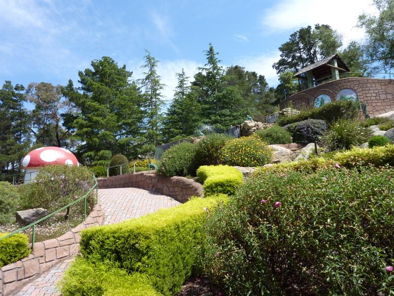
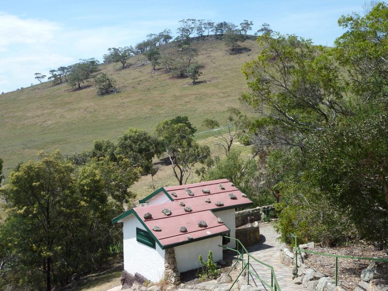
View down towards waterfall, Happy Gnomes (mushroom) and car park
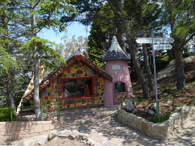
Hansel & Gretel

The Apes in front of Alice in Wonderland
Castle Cafe
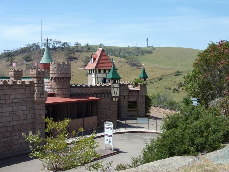
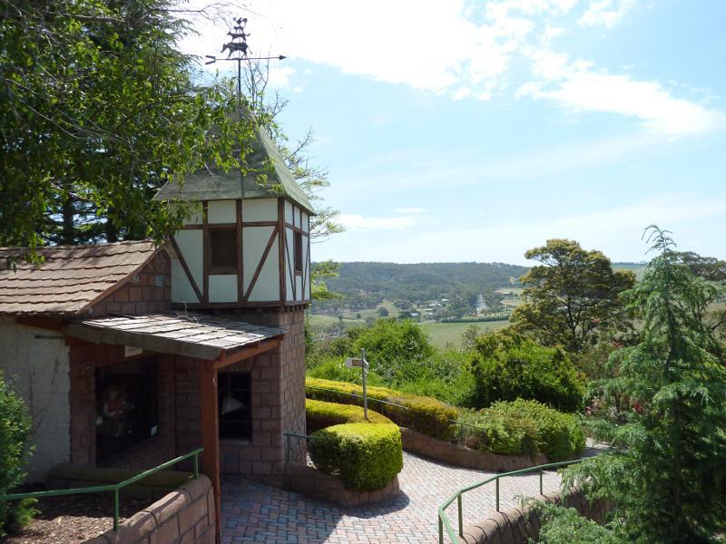
Castle Cafe with Mt Anakie in background
North-westerly view at Castle Cafe
View towards Sleeping Beauty near summit
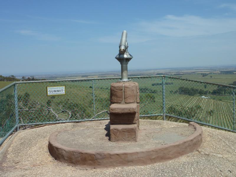
Telescope at summit of Elephant Rock
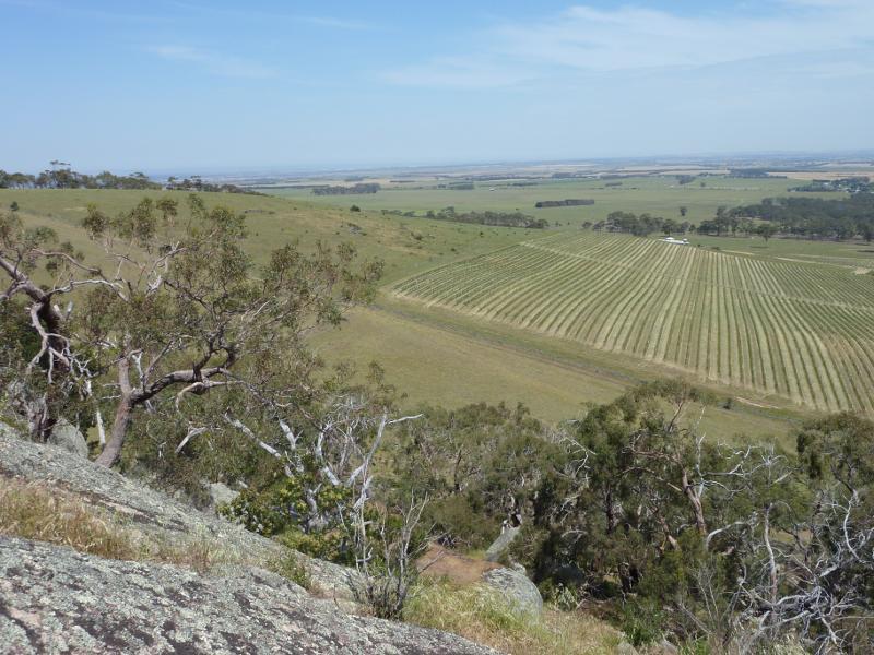
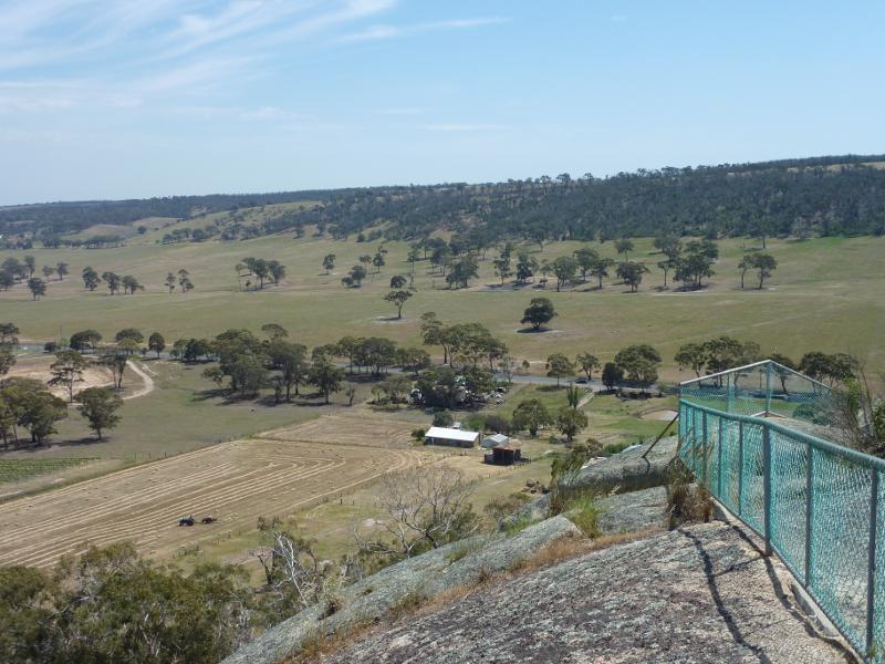
South-easterly view from summit

Southerly view from summit over Del Rios Winery
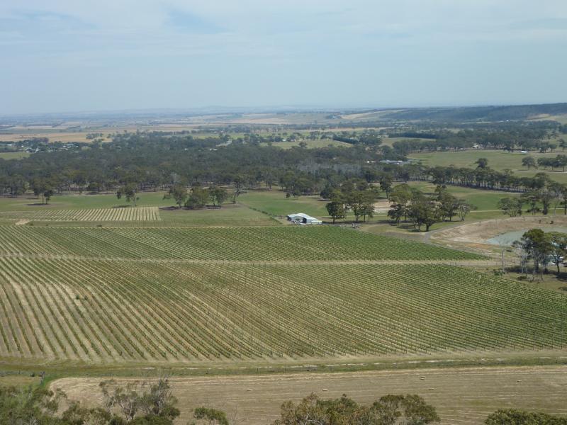
Southerly view from summit over Del Rios Winery
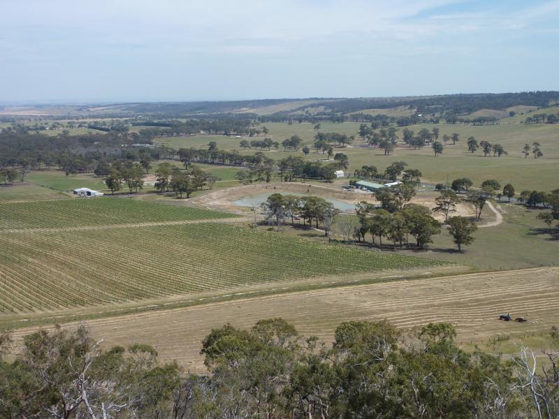
South-westerly view from summit over Del Rios Winery
Westerly view from summit
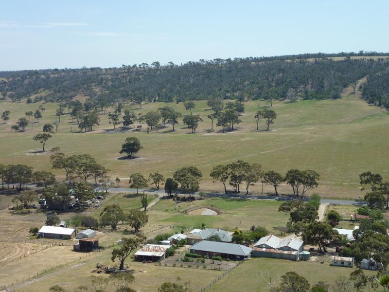
Westerly view from summit
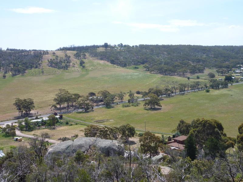
North-westerly view from summit
North-westerly view from summit
View towards Staughton Vale Vineyard
Grape vines at Staughton Vale Vineyard

Mt Anakie Estate, corner Staughton Vale Rd and Mount Rd
View south-east along Mount Rd at Staughton Vale Rd
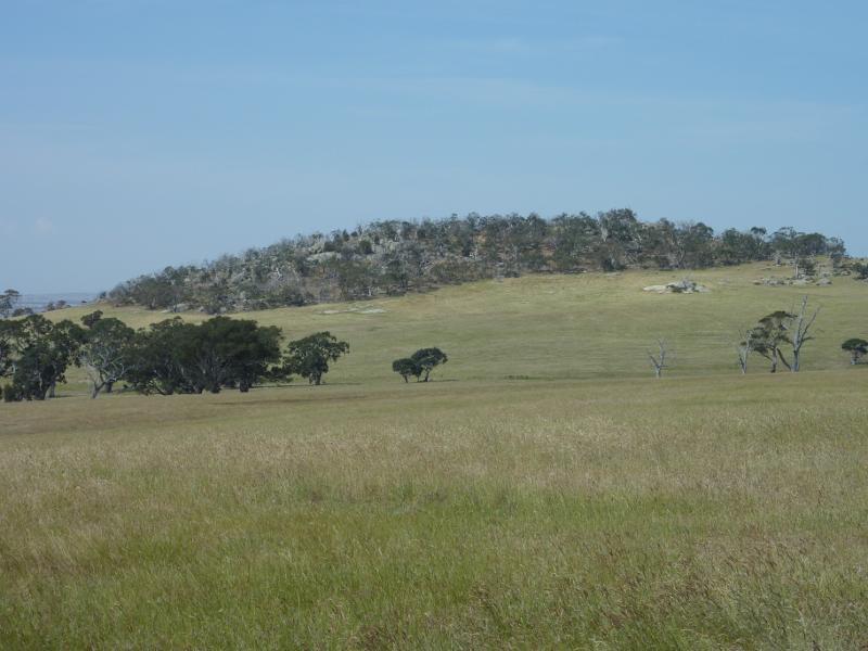
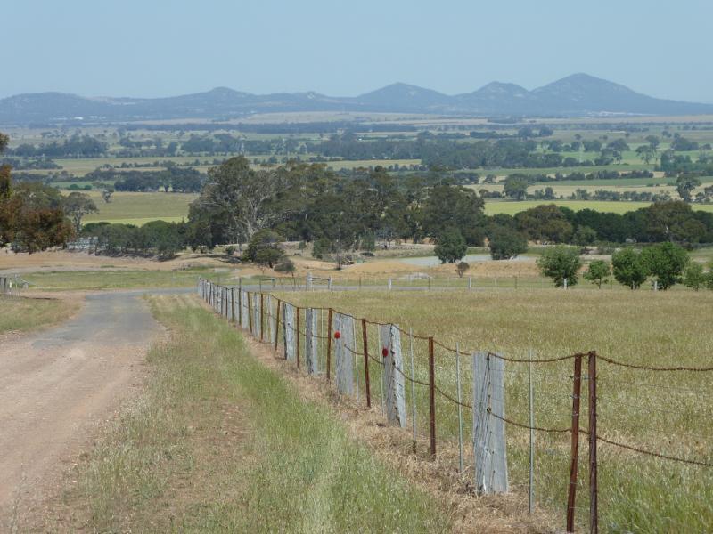
South-easterly view towards The You Yangs, Staughton Vale Rd at Coyne Rd
South-easterly view, Staughton Vale Rd at Coyne Rd

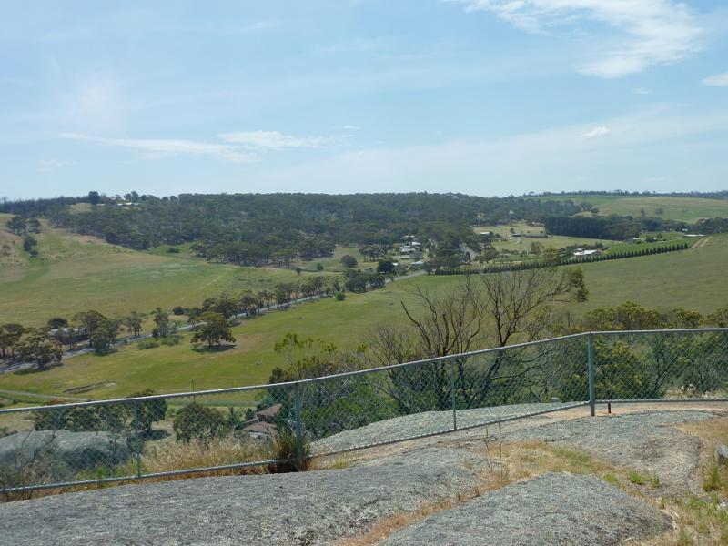
Northerly view

North-easterly view
Easterly view
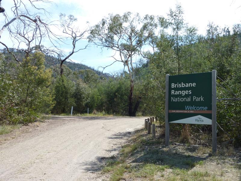
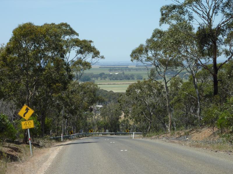
View west along Gorge Rd at entrance to Brisbane Ranges National Park
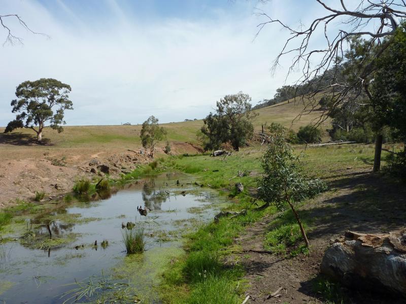
View south along Stony Creek at Gorge Rd
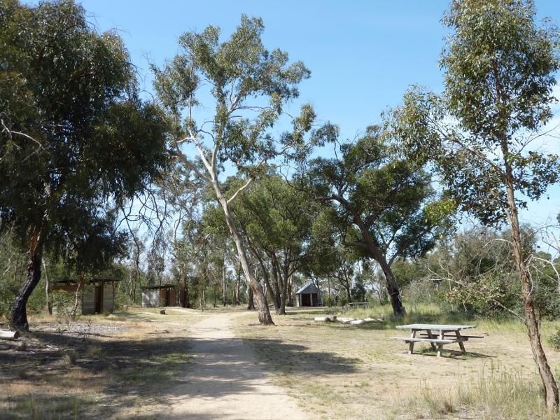
Picnic are and toilets
Picnic area
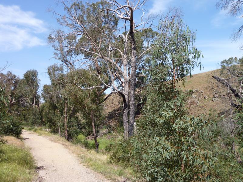
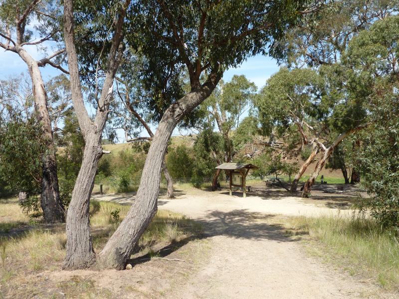
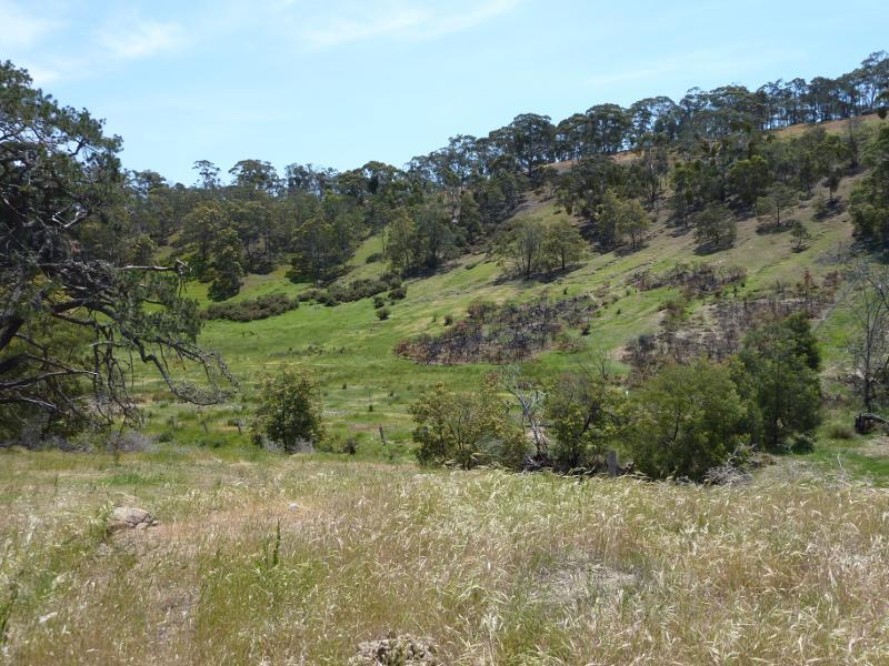
Anakie Gorge Walk near picnic area
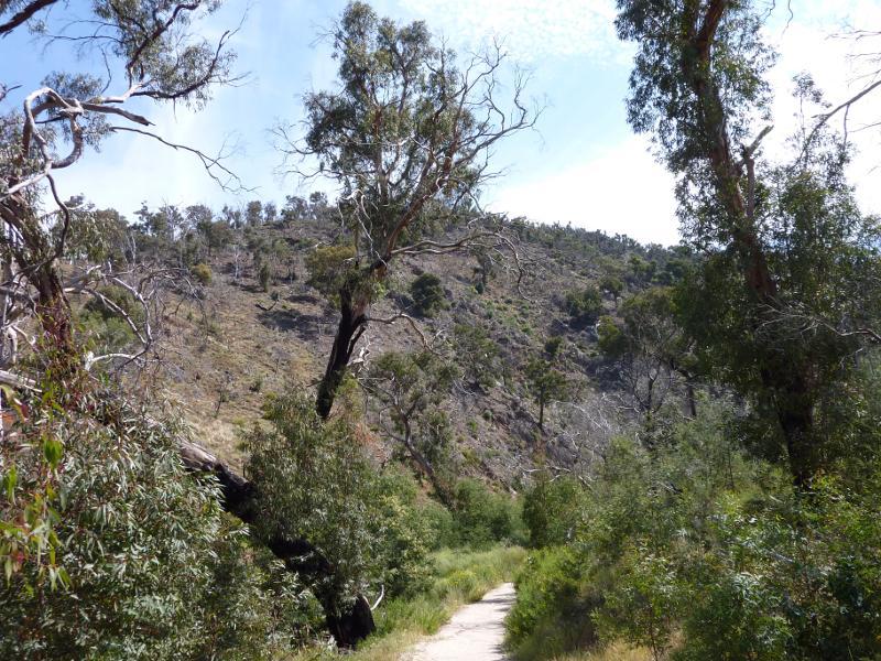
View along Anakie Gorge Walk near picnic area
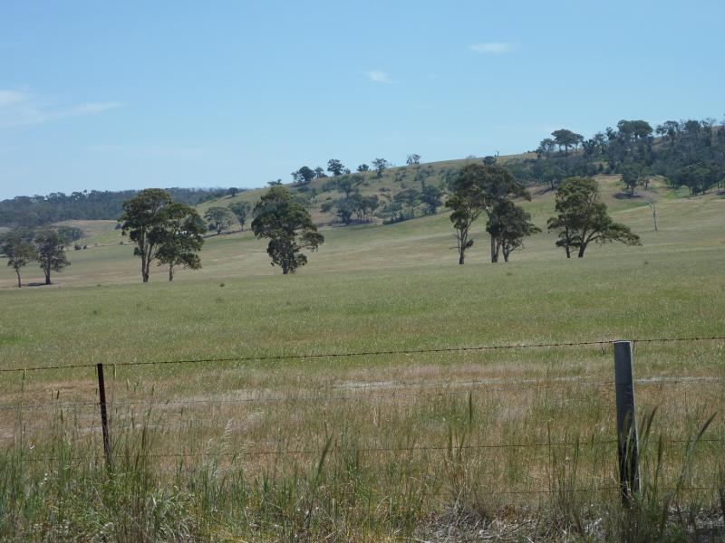
Southerly view, Murphys Rd, 1.3 km north of Staughton Vale Rd
South-easterly view towards The You Yangs, Murphys Rd, 1.3 km north of Staughton Vale Rd
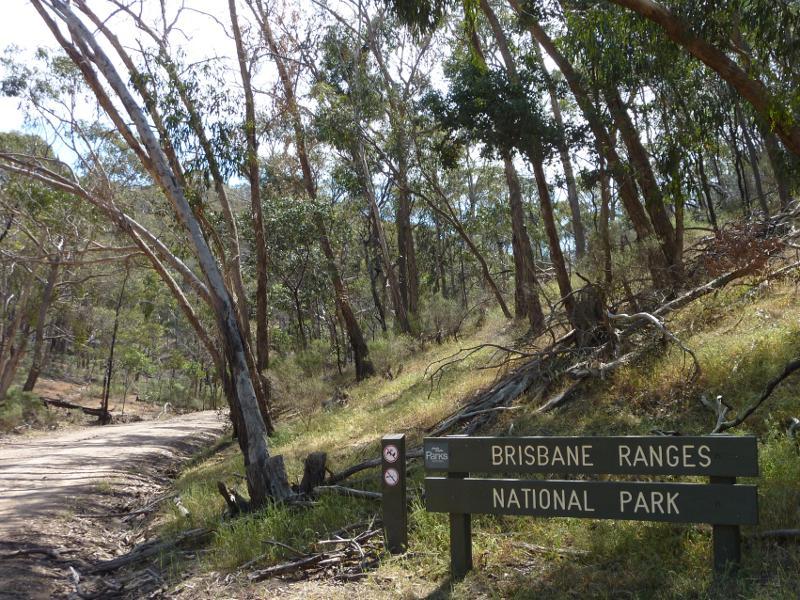
View west along Thompsons Rd at entrance to Brisbane Ranges National Park
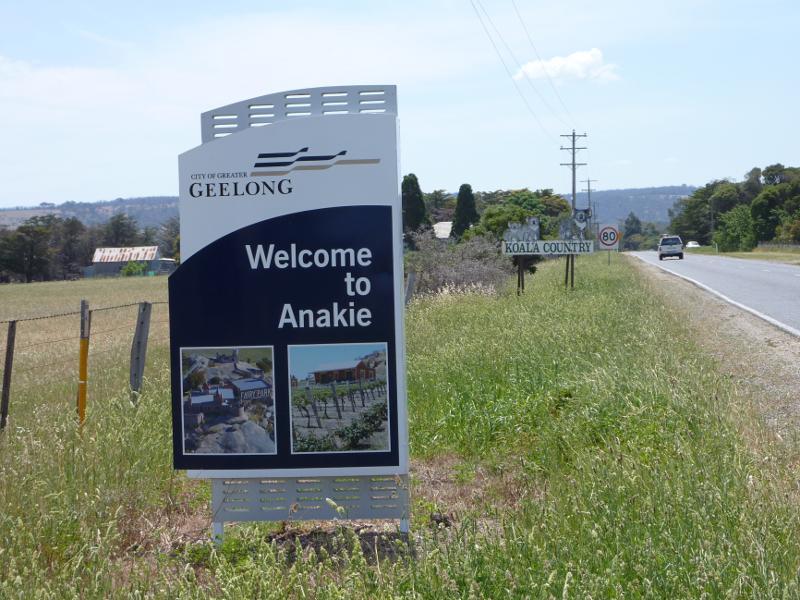
Welcome to Anakie sign, view north along Ballan Rd, north of Church La
Southerly view, Ballan Rd north of Church La
Easterly view, Ballan Rd near Church La
Westerly view, Ballan Rd near Church La
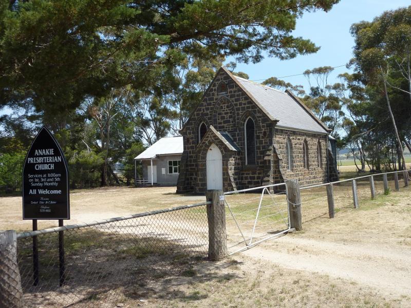
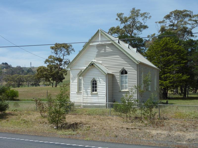
Anakie Presbyterian Church, corner Ballan Rd and Church La

Entrance at De Motts Rd
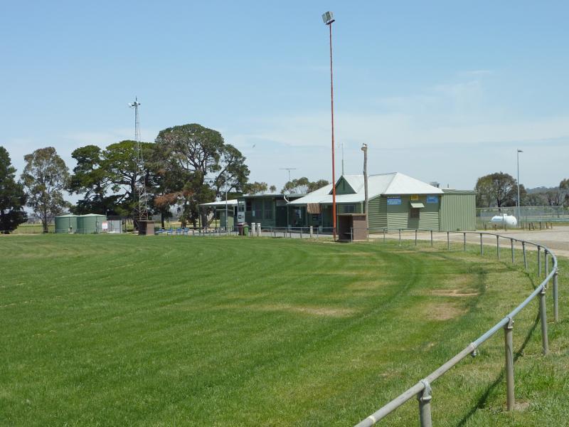
View across oval towards pavillion
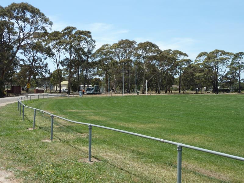
View along oval
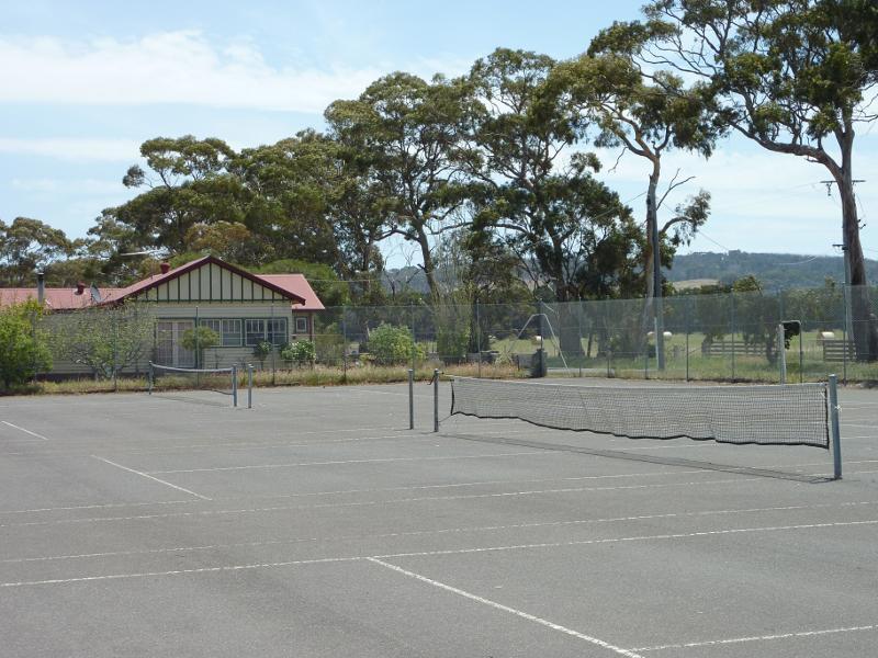
Tennis courts
View south along Durdidwarrah Rd at De Motts Rd
Easterly view towards The You Yangs, De Motts Rd at Durdidwarrah Rd
North-easterly view towards Mt Anakie, De Motts Rd at Durdidwarrah Rd
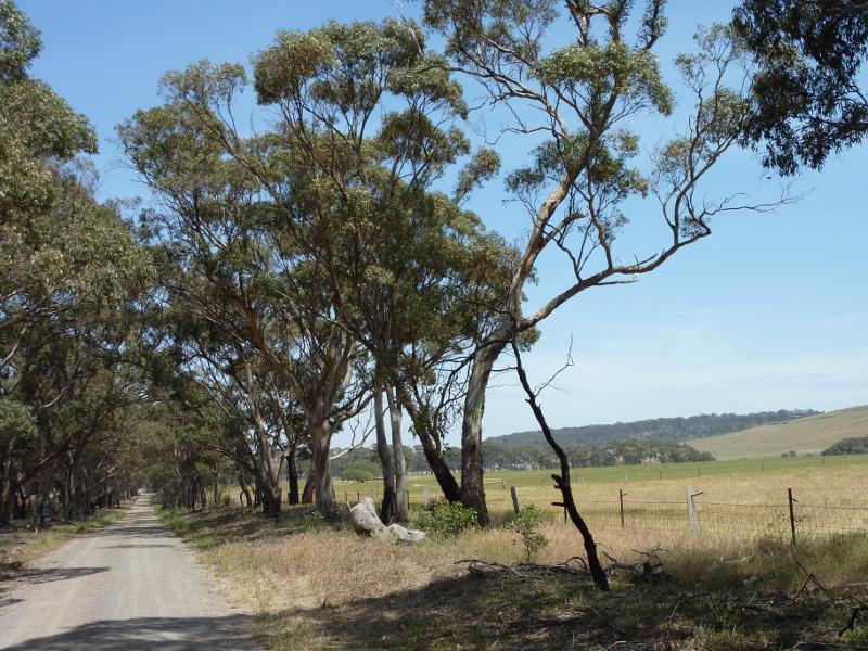
View east along De Motts Rd, 6 km east of Steiglitz Rd
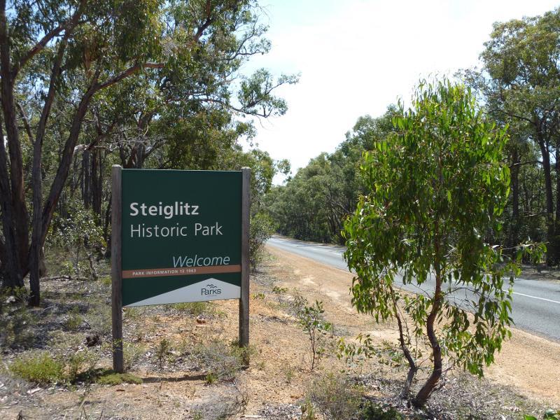
View north-east along Steiglitz Rd at Steiglitz Historic Park

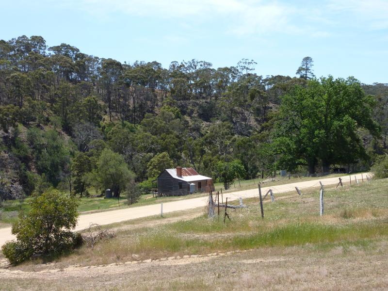
Steiglitz Historic Park, west side of Steiglitz Rd
Northerly view across Meredith Rd, just west of Clow St
Northerly view, Meredith Rd at Clow St
View east along Clow St between Meredith Rd and Regent St
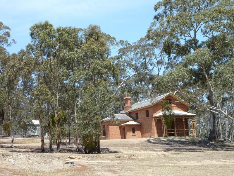
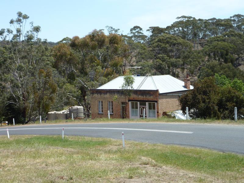
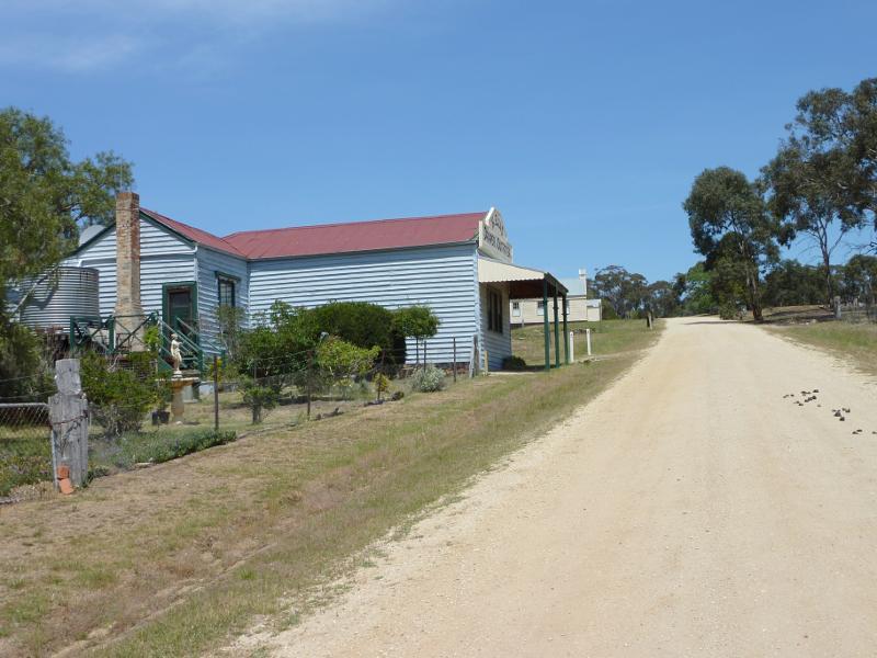
Steiglitz Court House, Steiglitz Rd
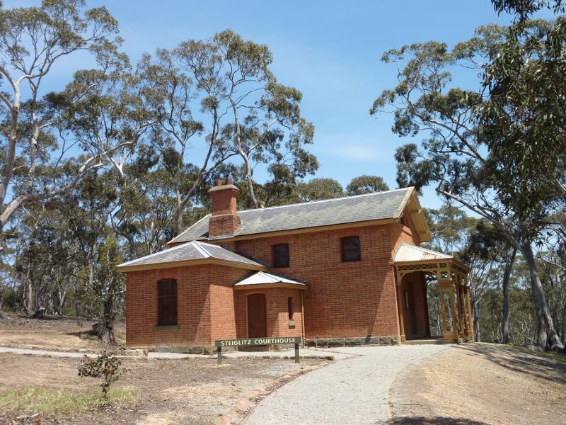
Side view of Steiglitz Court House
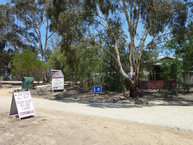
Peppercorn Place, Steiglitz Rd opposite Regent St
St Pauls Church, Regent St
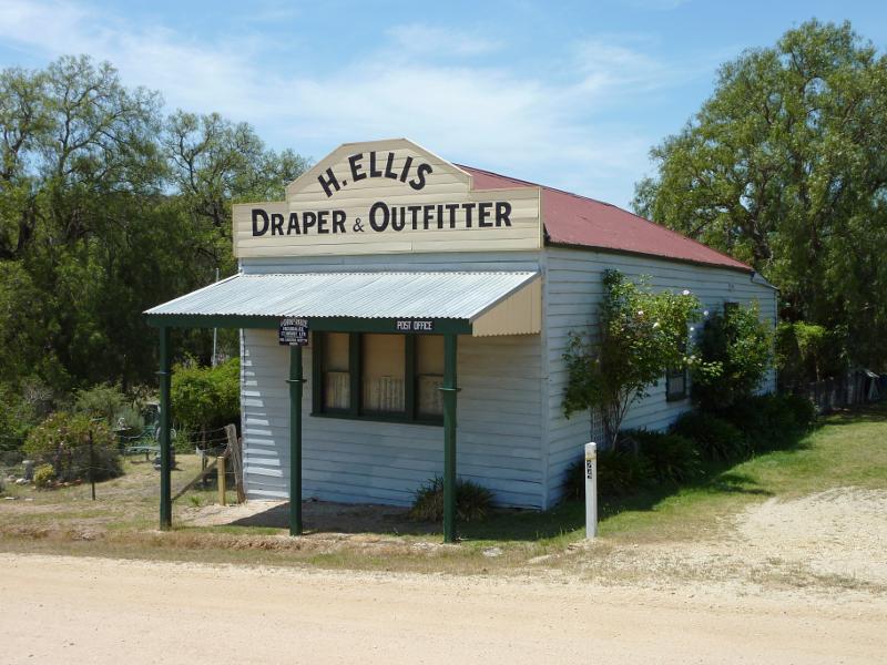
Draper & Outfitter, Regent St
View south along Regent St
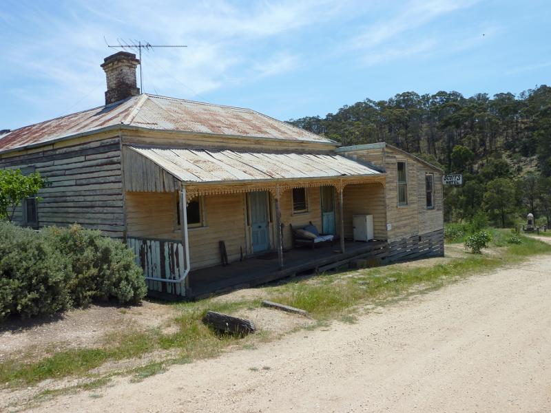
Scott's Hotel, view north along Regent St towards Clow St
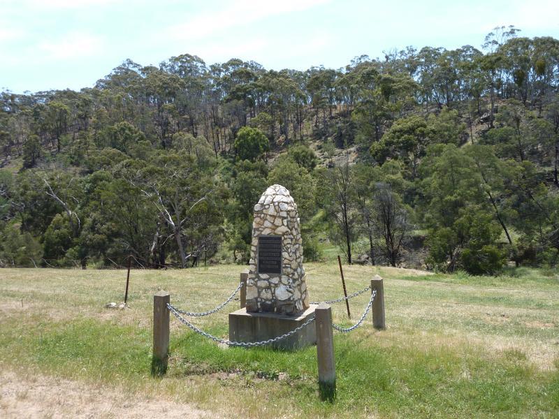
Monument of gold discovery, corner Regent St and Clow St
View north-east along Durdidwarrah Rd at Regent St
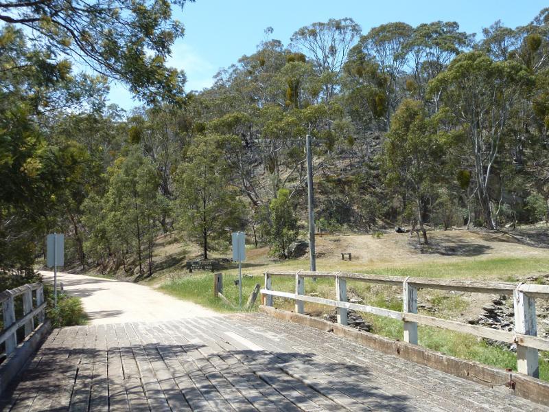
View north-east along Durdidwarrah Rd at bridge
View south-west along Durdidwarrah Rd towards bridge and Regent St
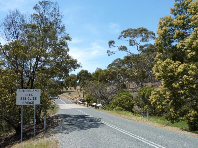
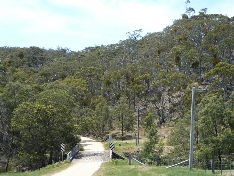
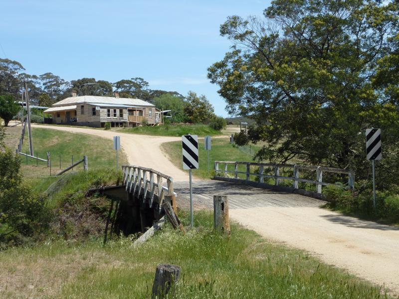
Steiglitz Bridge, view east along Meredith Rd towards Sutherland Creek

View south-east towards Sutherland Creek from Meredith Rd
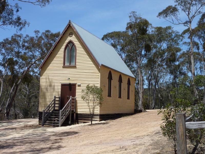
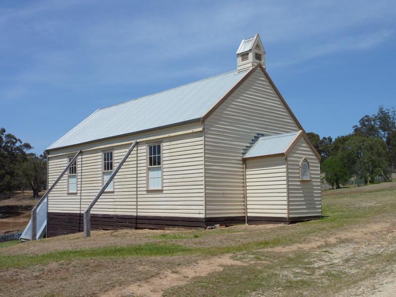
St Thomas Church, south side of Meredith Rd

Steiglitz town sign, view east along Meredith Rd

View east along Meredith Rd towards Moorabool River

View north along Moorabool River from Coopers Bridge

View south along Moorabool River from Coopers Bridge

View north along Moorabool River towards Coopers Bridge

View east across Moorabool River from car park south of Coopers Bridge