Cockatoo - photos
Cockatoo
Stay
See and do
Food and drink
Shopping
Getting around
Visitor information
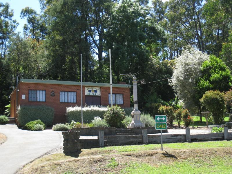
Cockatoo RSL, Gembrook Rd opposite McBride St
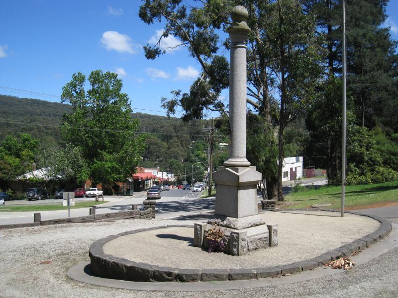
View west from Cockatoo RSL towards start of McBride St

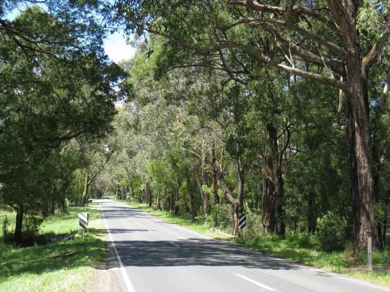
View west along McBride St from Gembrook Rd
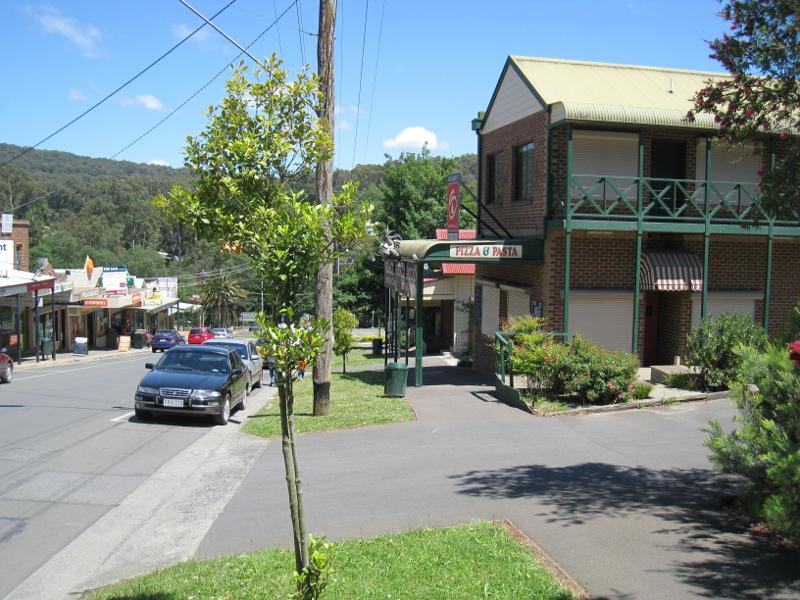
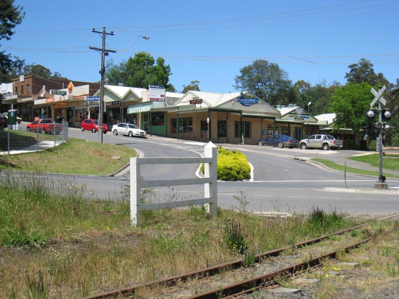
View west along McBride St through shopping area
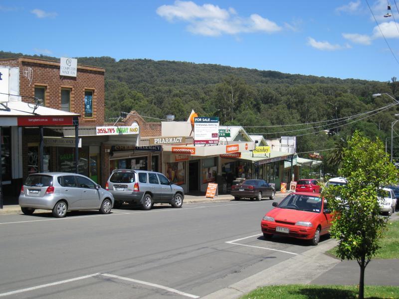
View west along McBride St through shopping area
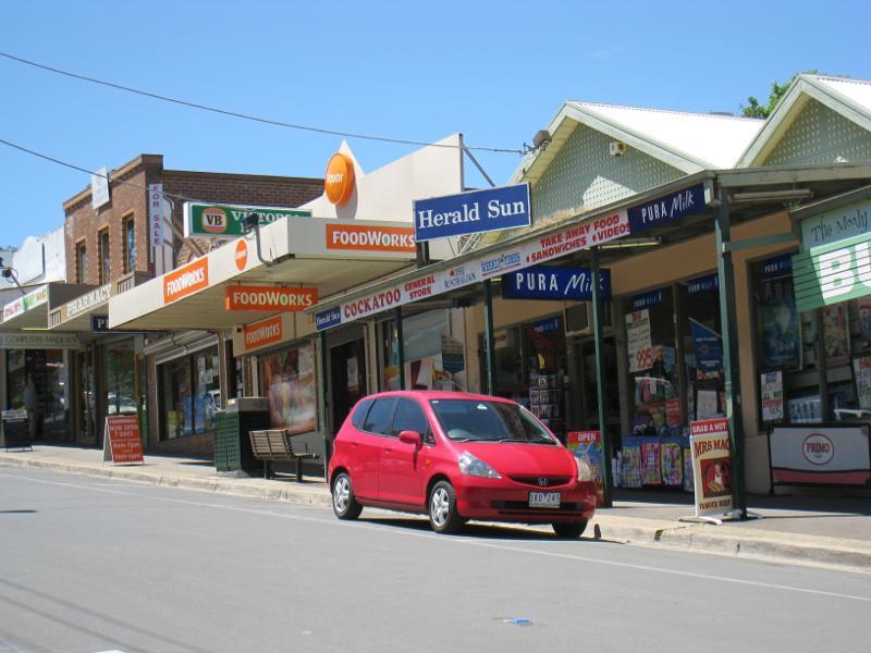
View east along McBride St through shopping area
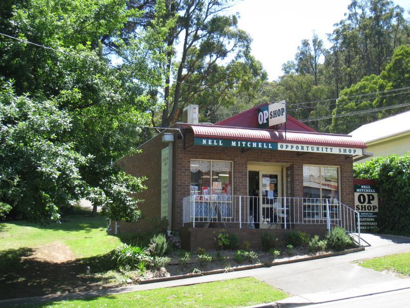
Opportunity shop, north side of McBride St
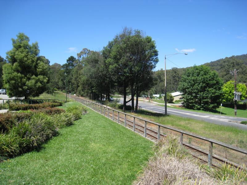
South side of McBride St near railway line
View east from McBride St at railway line
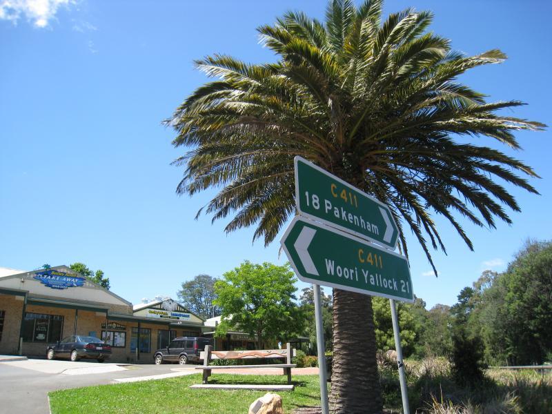
View south along railway line and Pakenham Rd at McBride St
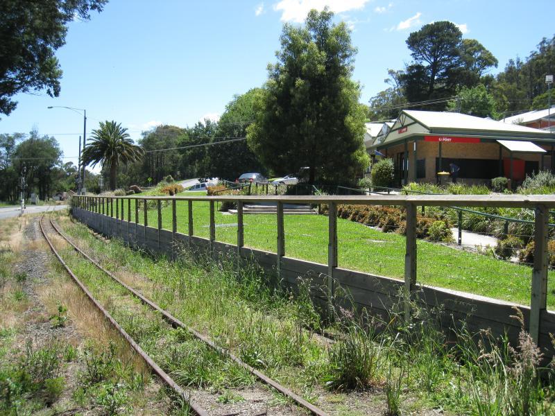
View north along railway line towards post office and McBride St
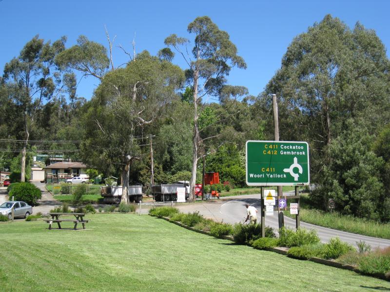
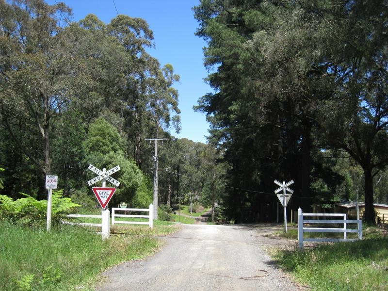
View east across railway crossing on Pakenham Rd towards McBride St
Former kindergarten, corner McBride St and Pakenham Rd
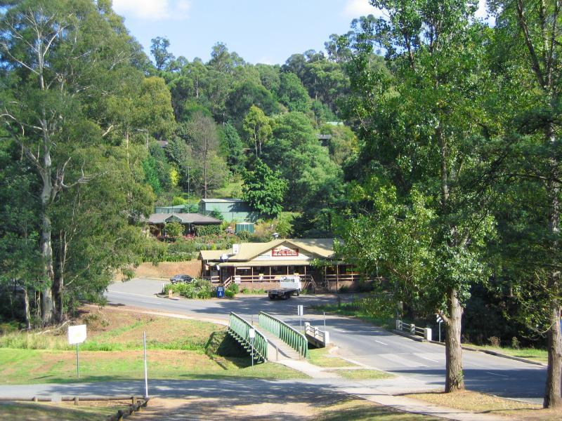
View west along McBride St towards Cockatoo Creek
View towards bowling club from footbridge over Cockatoo Creek
View north along Cockatoo Creek from north side of McBride St
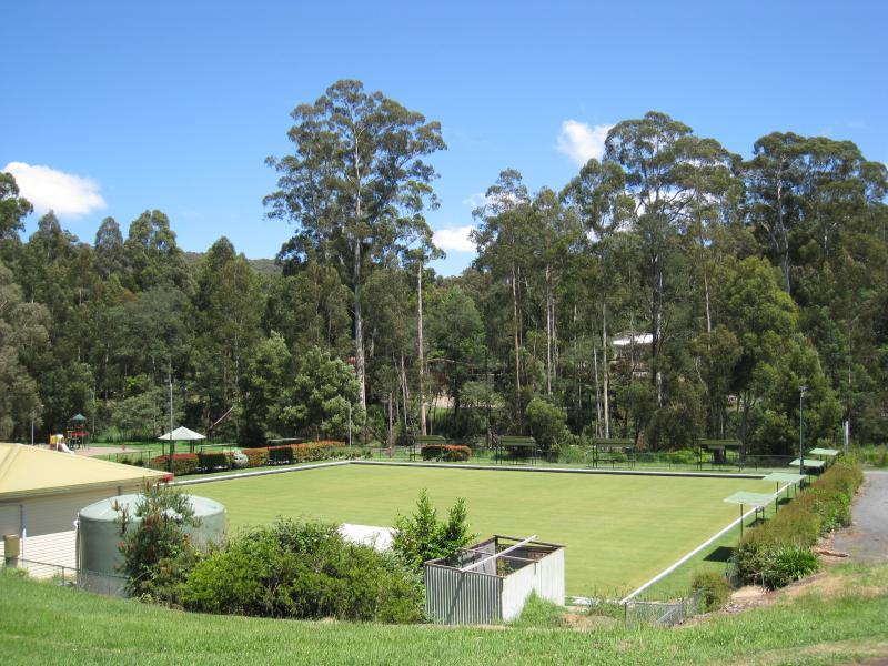
Bowling club
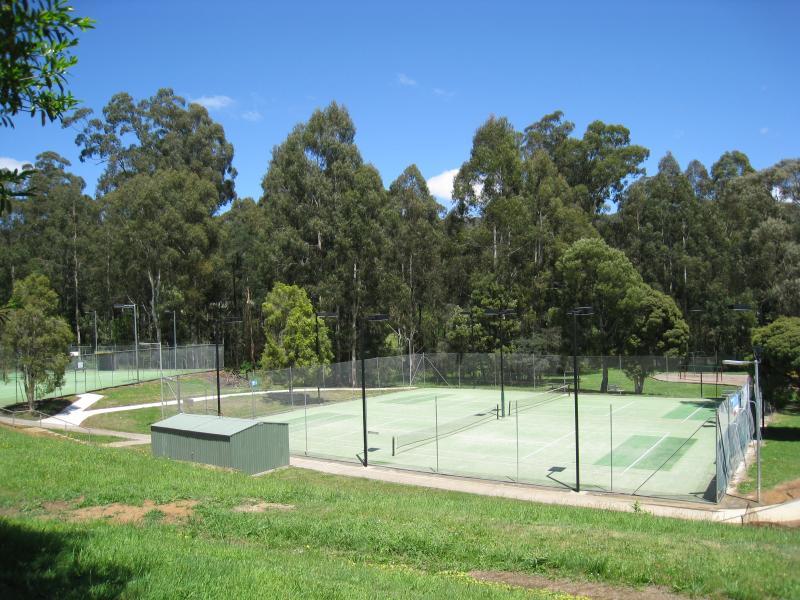
Tennis courts
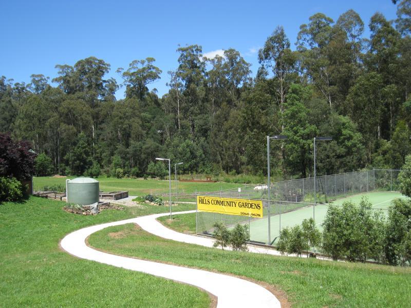
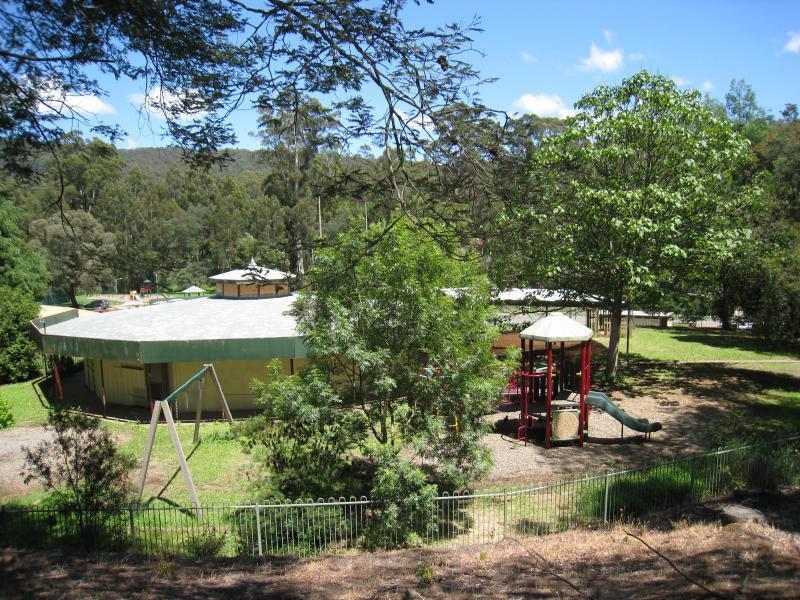
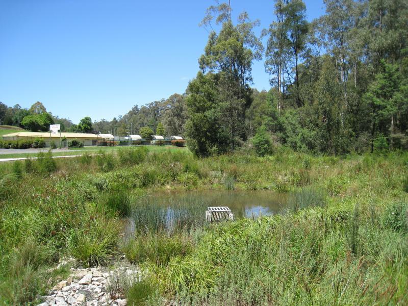
Tennis courts and Hills Community Gardens
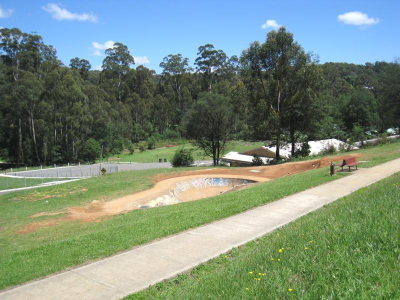
Skateboard bowl facing Pakenham Rd
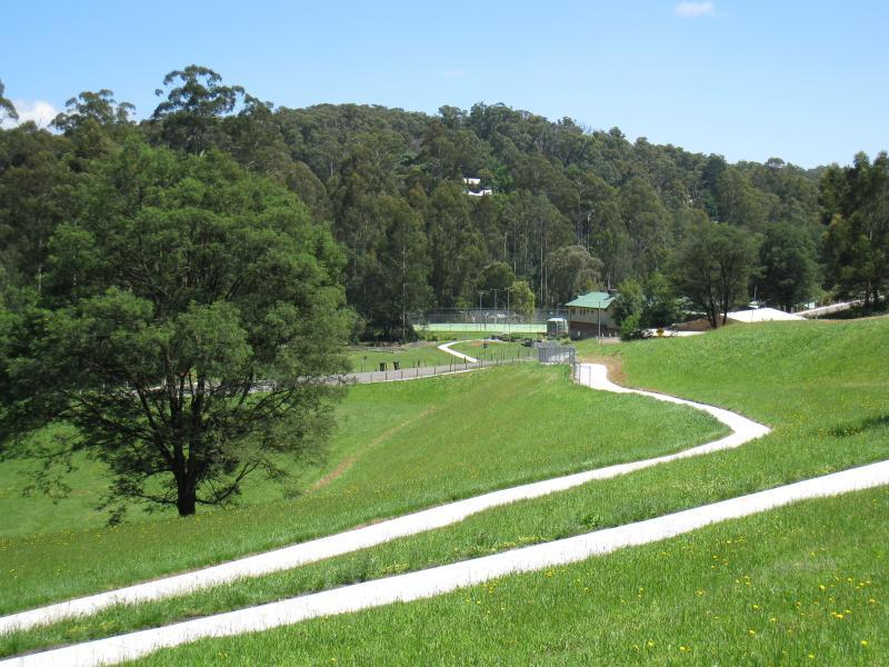
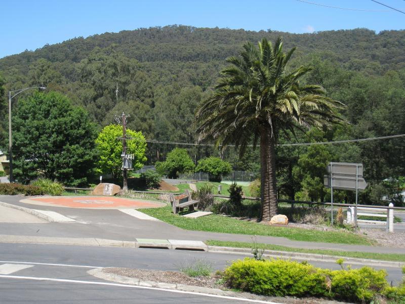
View north-west through southern end of recreation reserve from Pakenham Rd
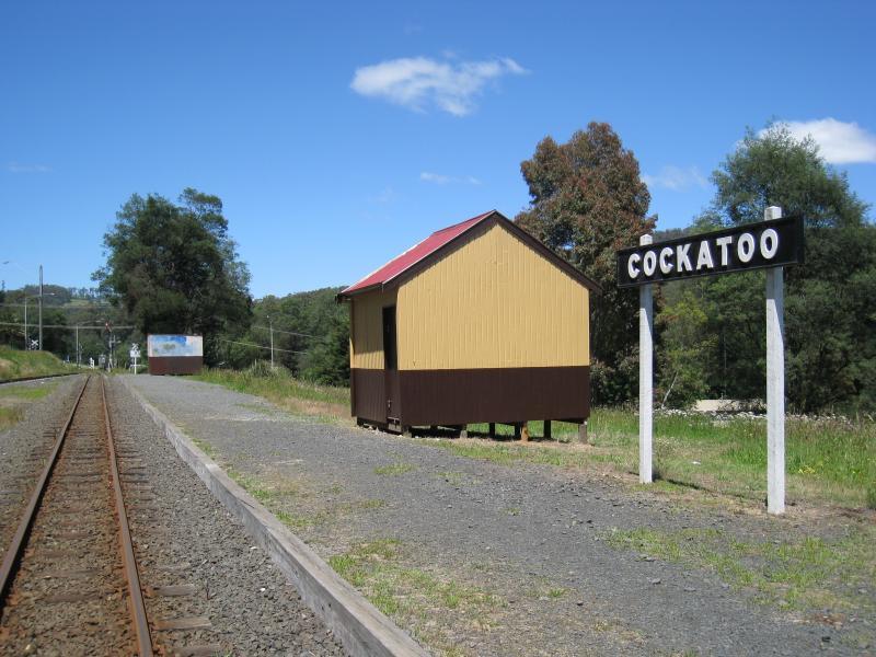
View south along Cockatoo station platform of Puffing Billy railway
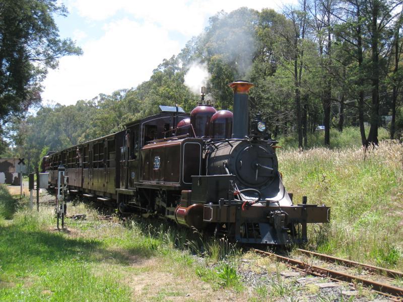
Puffing Billy heading south from Cockatoo station
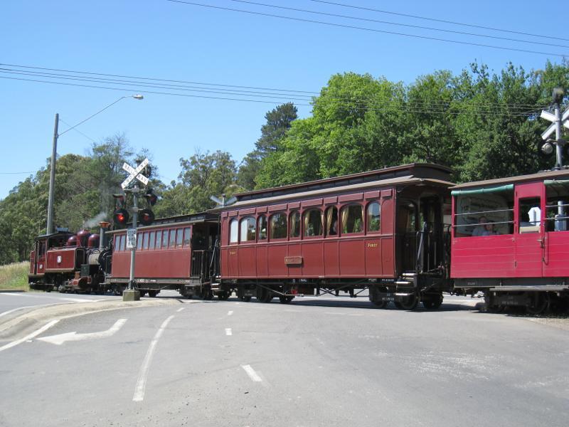
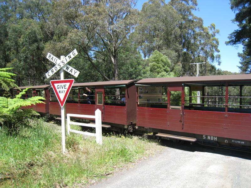
Puffing Billy crossing Pakenham Rd at McBride St
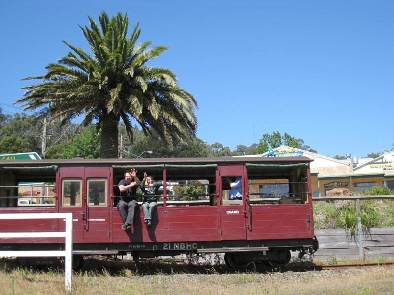
Puffing Billy carriage viewed from Pakenham Rd crossing at McBride St
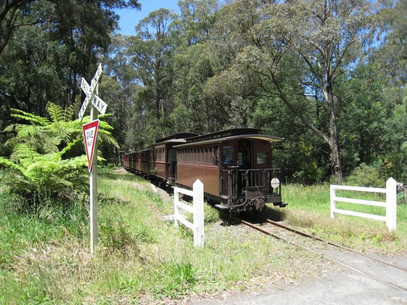
Puffing Billy at Doonaha Rd crossing next to Fielder station
View east along railway line at Doonaha Rd
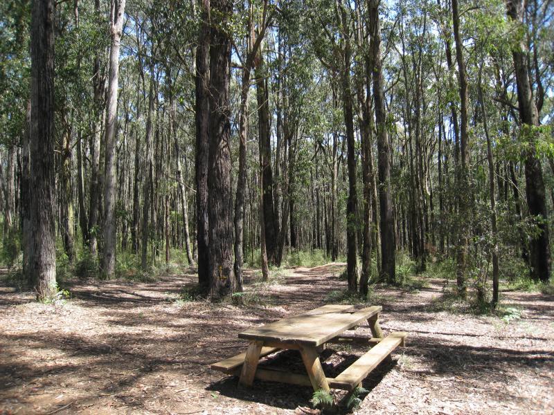
Picnic area off Bailey Rd
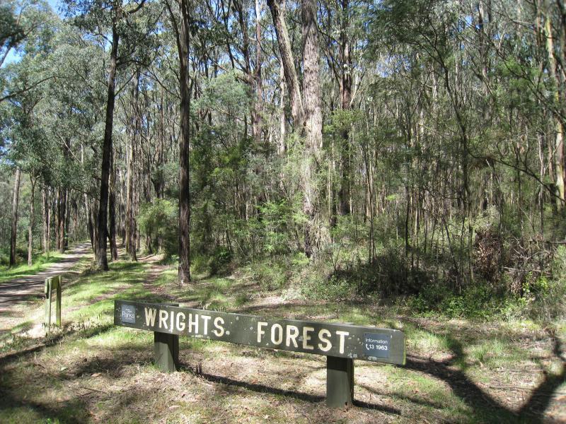
Access to forest from southern end of Wright Rd
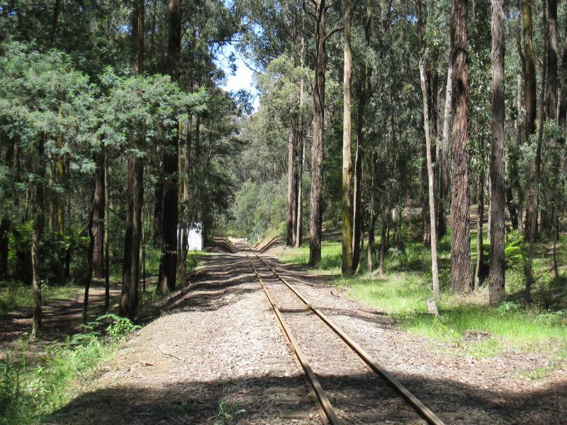
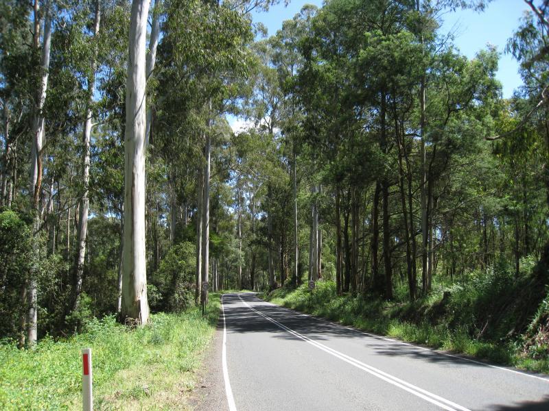
View east along Puffing Billy railway through forest at southern end of Wright Rd
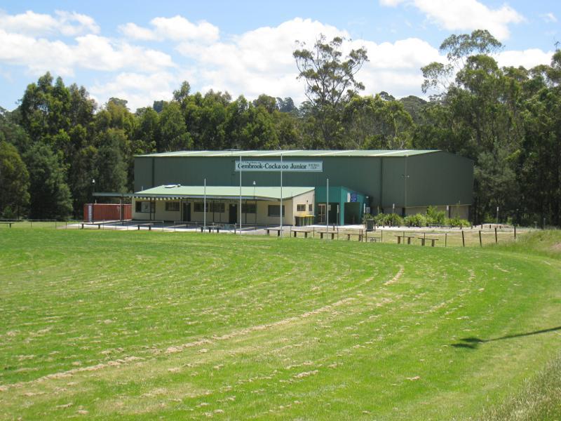
Indoor sports complex
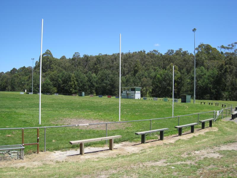
Football oval
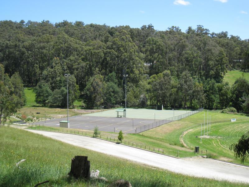
Netball court viewed from Mountain Rd
View east along Belgrave Rd through park beside Cockatoo Creek
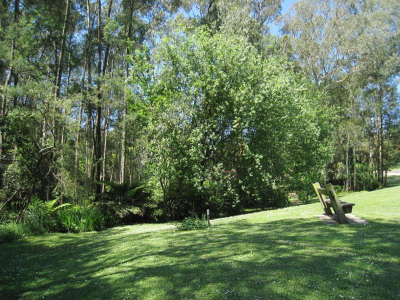
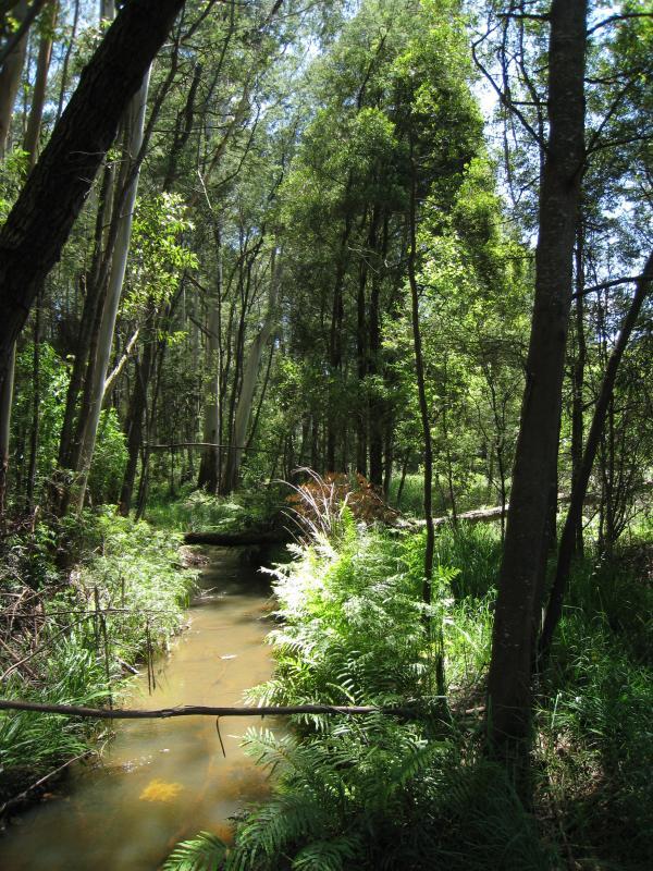
Parkland beside Cockatoo Creek
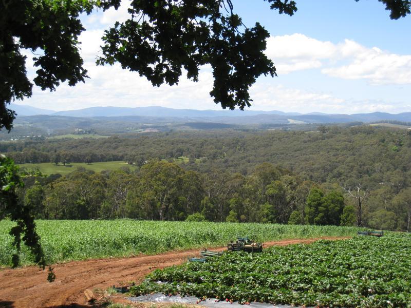
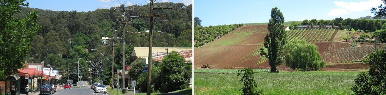
Easterly view through corn and strawberry fields on Phillip Road between Avon Rd and Henderson Rd
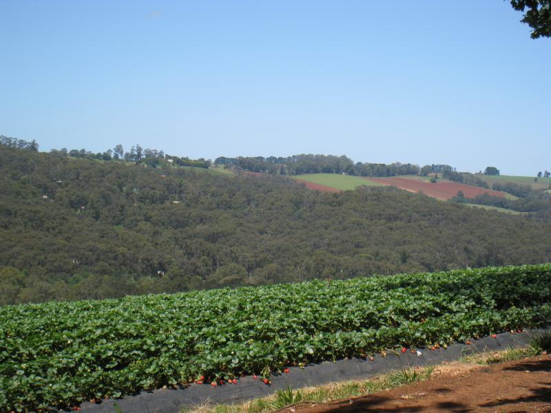
South-east view through strawberry field on Phillip Road between Avon Rd and Henderson Rd
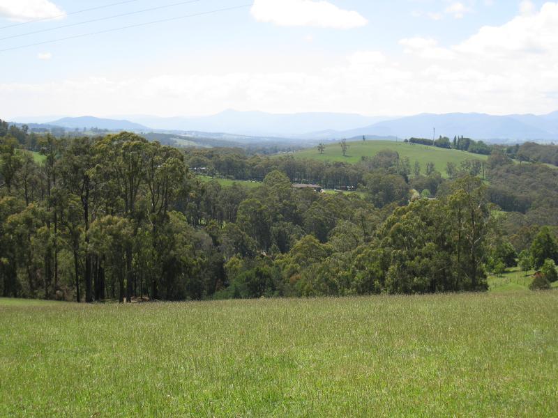
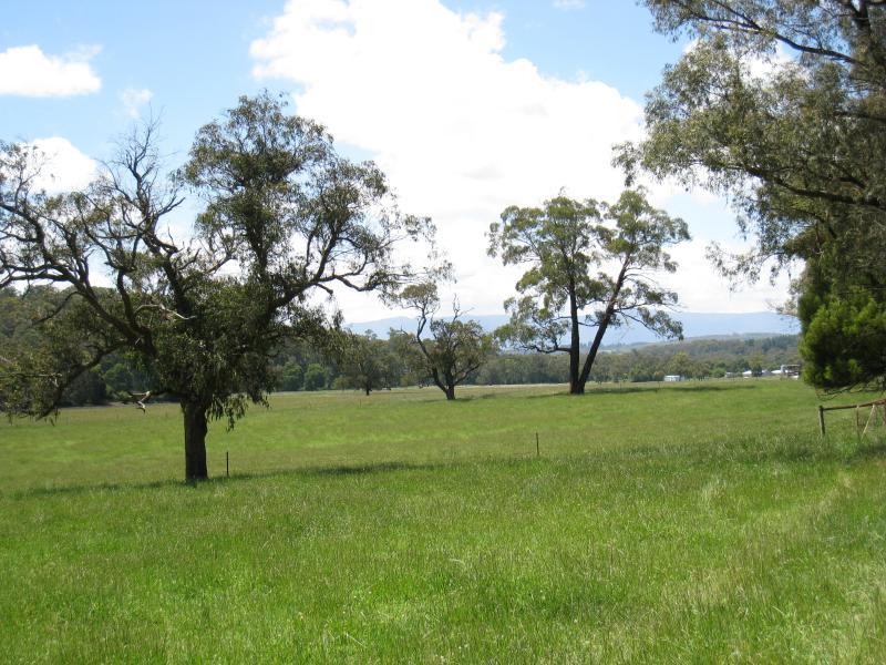
North view through pastures, Phillip Road near Henderson Rd
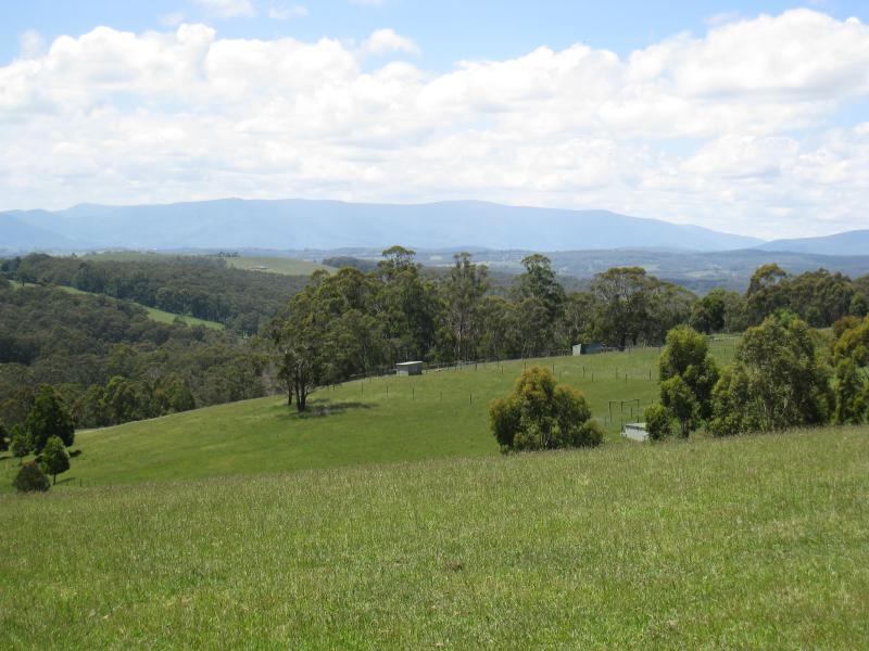
North-east view through pastures, Phillip Road near Henderson Rd
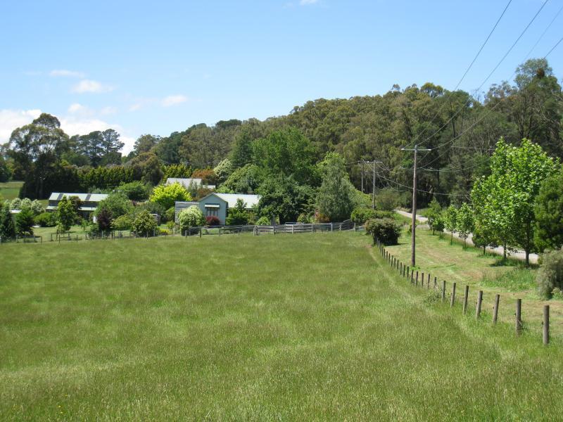
View west towards farm land, Woori Yallock Road north of Francis St
View north-east along Woori Yallock Rd approaching Bedford Rd
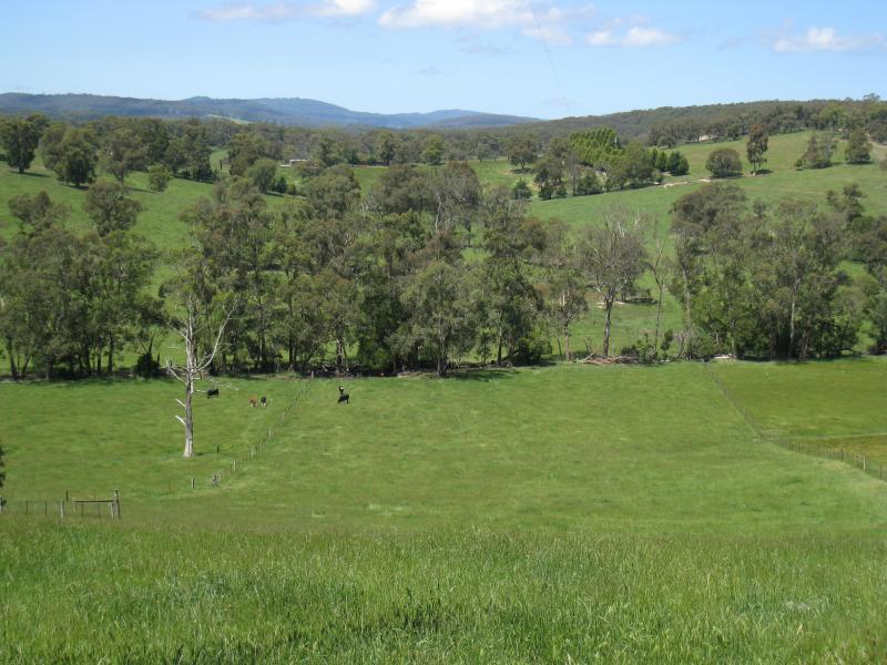
View north through pastures, north of Bedford Rd
Easterly view at Calder Rd
Easterly view at Fielder Rd
View south along Doonaha Rd towards railway crossing
View north along Pakenham Rd near Taylor Rd
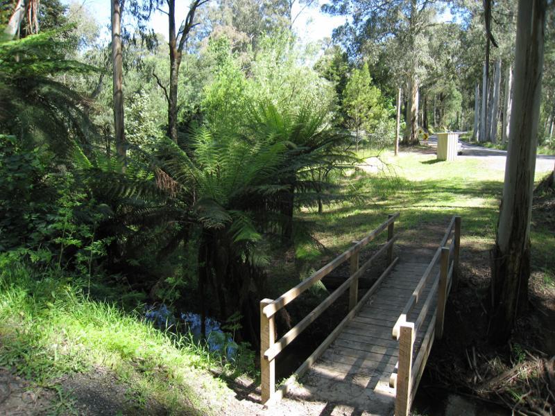
Footbridge over Cockatoo Creek at Brisbanes Rd
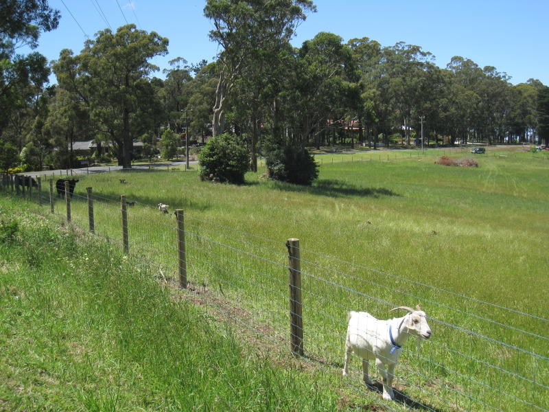
Goat in paddock, easterly view, Paternoster Rd near Bailey Rd
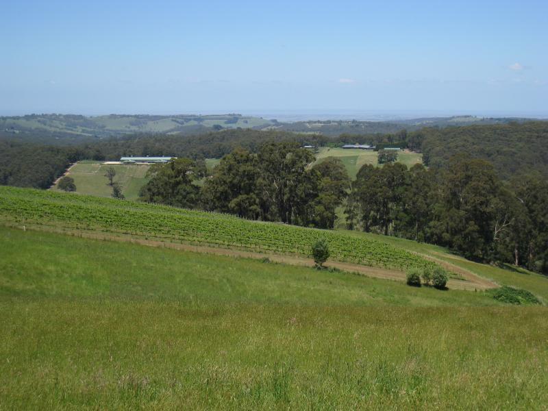
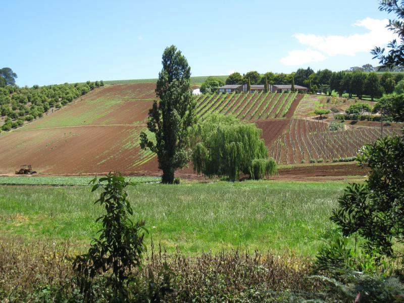
Southerly view towards vineyard, Paternoster Rd near Bailey Rd
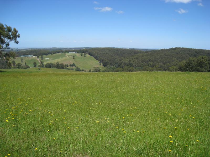
Southerly view, Paternoster Rd near Halcyon Gv
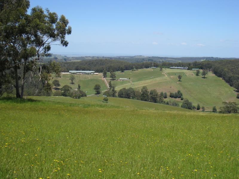
Southerly view, Paternoster Rd near Halcyon Gv