
Walhalla - attractions
Walhalla
Stay
See and do
Food and drink
Shopping
Getting around
Visitor information
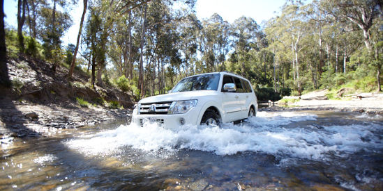
Aberfeldy Track
The rugged Aberfeldy Track is one of Victoria's great four wheel driving routes. It consists of three sections of mainly unsealed track with several side trip options. The Donnellys Creek section extends north of Walhalla, along the eastern side of Thomson Reservoir and south to Erica. The Jordan Valley section consists of loops between Aberfeldy and Woods Point. Further north is the section between Woods Point and Jamieson. Along the way are designated picnic areas, camping spots, historical ruins, off-road forest walks, fern gullies, rivers and stunning mountain views.
www.westgippslandinc.com.au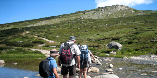
Australian Alps Walking Track
Extending for 650 kilometres from Walhalla to Canberra, the Australian Alps Walking Track is a challenging walk for experienced bushwalkers. Much of the trail is through national parks and it traverses both mountain forests and high plains. As most parts of the track are far away from towns, walkers need to be self-reliant.
www.theaustralianalpsnationalparks.org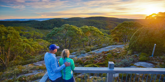
Baw Baw National Park
Covering over 13,500 hectares of the Baw Baw Plateau and Thomson and Aberfeldy River valleys, the park is situated to the north and west of Walhalla and surrounds the snowfields of Mount Baw Baw and Mount St Gwinear. Enjoy scenic drives through the park, bike riding, canoeing, fishing or make use of the picnic areas at the Mount Erica and Mount St Gwinear car parks. There is an extensive network of walking tracks through pristine sub-alpine landscapes, including the Australian Alps Walking Track.
www.parks.vic.gov.au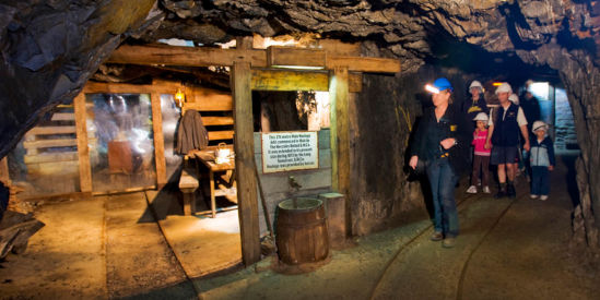
Long Tunnel Extended Gold Mine
This was one of the most successful mines in Victoria's history, yielding almost 14 tonnes of gold since diggings first started in 1865. Take a guided tour deep under the mountain and down this mine which has been virtually untouched since it closed in 1911. At the mine site is a small museum and refreshments are available from the ticket office.
www.walhallaboard.org.au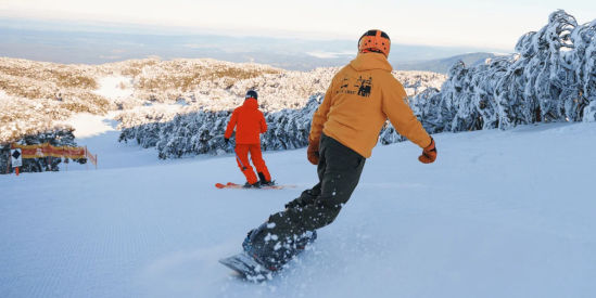
Mount Baw Baw
Located 45 kilometres east of Noojee and 47 kilometres north-west of Walhalla via South Face Road, Mount Baw Baw is nestled on the southern tip of the Great Dividing Range. It offers a range of skiing and snow activities in winter, with visitor facilities including restaurants, cafes and accommodation. During the warmer months, the mountain is delectably covered in wildflowers, with bushwalking and cycling being popular activities. The Mt Baw Baw Summit Walk climbs through snow gum woodland to the mountain's summit, and on a clear day, offers views across West Gippsland to the Bass Strait.
www.mountbawbaw.com.au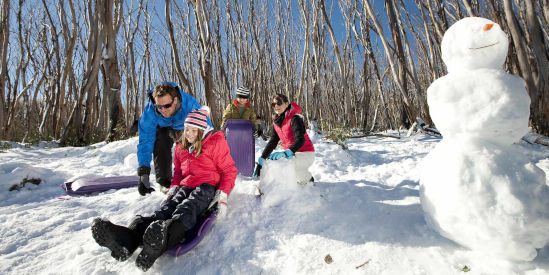
Mount St Gwinear
Located within the Baw Baw National Park and rising to a height of 1,509 metres, Mount St Gwinear is known as the natural mountain, free from commercial development and free year round entry. During the snow season, visitors can enjoy snow play, tobogganing, cross-country skiing and snowshoeing.
www.parks.vic.gov.au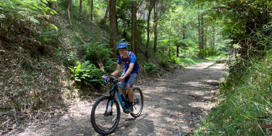
Walhalla Goldfields Rail Trail
The 7 kilometre long trail links Erica with Thomson station where Walhalla Goldfields Railway operates tourist trains. The trail passes through tall forests and beside a section of the Thomson River, offering mountain scenery.
www.railtrails.org.au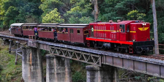
Walhalla Goldfields Railway
Ride the Walhalla Goldfields Railway through the spectacular Stringers Creek Gorge. The train line passes six large trestle bridges that criss-cross the gorge in an effort to find anchorage for each bridge abutment. The journey follows Stringers Creek to where it joins the Thomson River, across the historic Thomson River Bridge. Explore the area or enjoy a picnic at Thomson Station before returning to Walhalla.
www.walhallarail.com.au