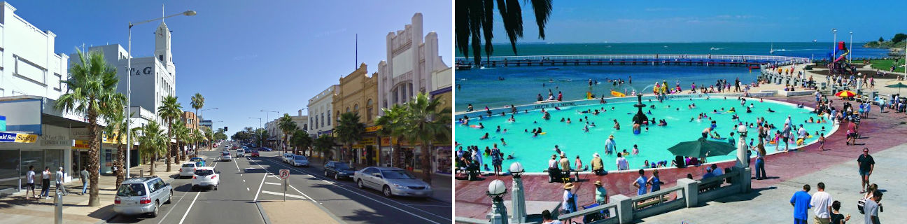
Geelong - facts & features
Geelong
Stay
See and do
Food and drink
Shopping
Getting around
Visitor information
Facts
Population
214,618
(including surrounding suburbs)
Based on 2021 Census
Area code
03
Postcode
- 3220 - Geelong, Newtown, South Geelong
- 3213 - Lovely Banks
- 3214 - Corio, Norlane
- 3215 - Bell Park, Bell Post Hill, Drumcondra, Hamlyn Heights, North Geelong, Rippleside
- 3216 - Belmont, Grovedale, Highton, Marshall, Wandana Heights, Waurn Ponds
- 3217 - Armstrong Creek, Charlemont, Mount Duneed
- 3218 - Fyansford, Geelong West, Herne Hill, Manifold Heights
- 3219 - Breakwater, East Geelong, Newcomb, St Albans Park, Thomson, Whittington
- 3224 - Leopold, Moolap
Geographical features
Local waterways
- Barwon River
- Cowies Creek
- Cuthbertson Creek
- Corio Bay
- Lake Connewarre
- Reedy Lake
- Moorabool River
- Port Phillip
- Waurn Ponds Creek
Local mountains
- Barrabool Hills
- Mount Duneed
Major roads
| Route | Road name |
|---|---|
| M1 |
|
| A1 |
|
| A10 |
|
| A300 |
|
| B100 |
|
| B110 |
|
| B121 |
|
| B130 |
|
| B140 |
|
| C112 |
|
| C114 |
|
| C115 |
|
| C118 |
|
| C123 |
|
| C124 |
|
| C133 |
|
| C134 |
|
| C136 |
|
| C137 |
|
| C141 |
|
| C142 |
|
| C704 |
|