Climate
Weather
Transport
Airports
Trains
Trams
Buses
Car hire
Taxis & rideshare
Boats & ferries
Bicycles
Journey planner
Ticketing
Driving
Types of roads
Toll roads
Tunnels
Bridges
Traffic reports
Road rules
Driving in snow
Driving safety
Fuel
Electric car charging
Food quarantine rules
Location & maps
Facts & figures
Communications
Holidays
Visitor information
Your safety
Government
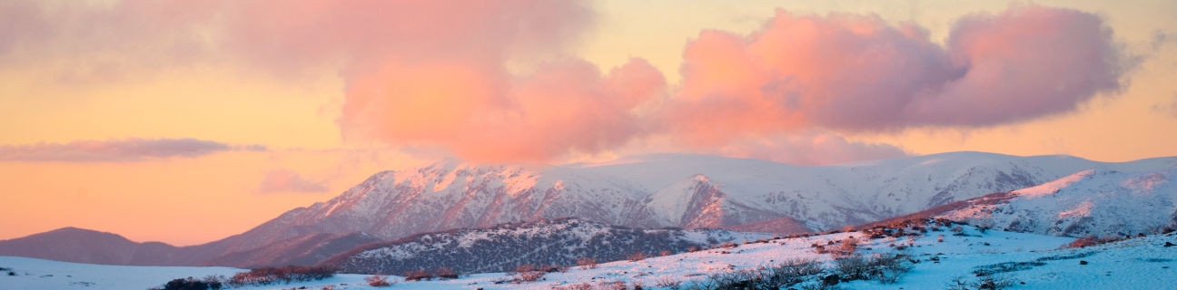
Victoria has a varied climate, ranging from semi-arid in the far north-west of the state, to temperate along the coast. The mountainous Great Dividing Range in the central and eastern parts of the state produces a cooler mountain climate.
The wettest parts of Victoria are the Otway Ranges in the south-west, the mountainous alpine areas of the north-east, and the southern and eastern parts of Gippsland.
The driest part of Victoria is the north-west area.
Temperature extremes
- Highest temperature: 48.9°C at Hopetoun and Walpeup (north-western Victoria) on 27th January 2026
- Lowest temperature: -11.7°C at Omeo on 15th June 1965 and Falls Creek (near Mount Beauty) on 3rd July 1970
Rainfall extremes
- Highest rainfall in a day: 375 mm at Tanybryn (inland from Apollo Bay) on 22nd March 1983
- Highest rainfall in a year: 3,738.5 mm at Falls Creek (near Mount Beauty) in 1956
Snow
Normally snow only falls on the higher mountains within the Great Dividing Range. During some years, snow is occasionally observed at elevated areas in the Grampians, Macedon Ranges, Otway Ranges and Dandenong Ranges.