Types of roads
Driving
Transport
Weather
Location & maps
Facts & figures
Communications
Holidays
Visitor information
Your safety
Government
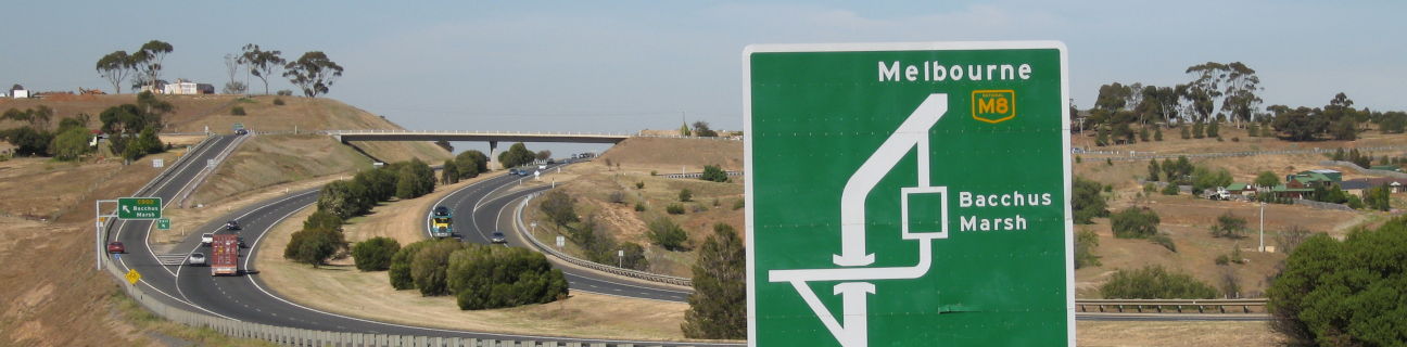
"M" roads
These roads are duplicated (dual carriageway) roadways with at least two lanes in each direction.
Within Melbourne's metropolitan area, the majority of these roadways are built to freeway standard.
In rural areas, "M" roads are either freeway standard or highway standard with a limited number of intersecting roads instead of interchanges. They provide high standard links between Melbourne, other capital cities and major regional centres.
"M" roads in Victoria
| Route | Road name |
|---|---|
| M1 |
|
| M2 |
|
| M3 |
|
| M4 |
|
| M8 |
|
| M11 |
|
| M31 |
|
| M39 |
|
| M79 |
|
| M80 |
|
| M420 |
|
| M780 |
|
These "M" roads in Melbourne are toll roads.
- CityLink sections of the M1 and M2
- West Gate Freeway between Millers Road and Williamstown Road (heavy vehicles only)
- EastLink section of the M3
- M4 West Gate Tunnel (light vehicles only)

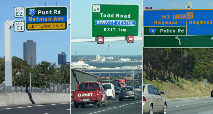
Exit numbers
Many "M" roads in Melbourne have freeway exit numbers installed along them. This allows drivers unfamiliar with the area to easily identify exits rather than rely just on a road or suburb name. It also gives drivers a sense of how far to their required exit so they can plan lane changes well in advance.
Exit numbers increase sequentially as the distance from Melbourne's CBD increases. Exits are denoted by a number, except for those within about 15 kilometres of the city centre which have the number prefixed by the bearing of the exit in relation to the city, such as "E" for east or "W" for west.
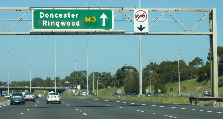
Lane restrictions
Trucks exceeding 4.5 tonnes of gross vehicle mass are banned from the furthermost right lane on a number of Melbourne's freeways which carry 3 or more lanes of traffic. Buses and emergency vehicles are exempt from this ban.
Signage installed above lanes and along the median strip identify areas where this restriction applies.
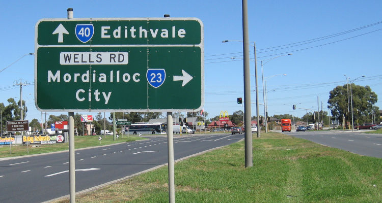
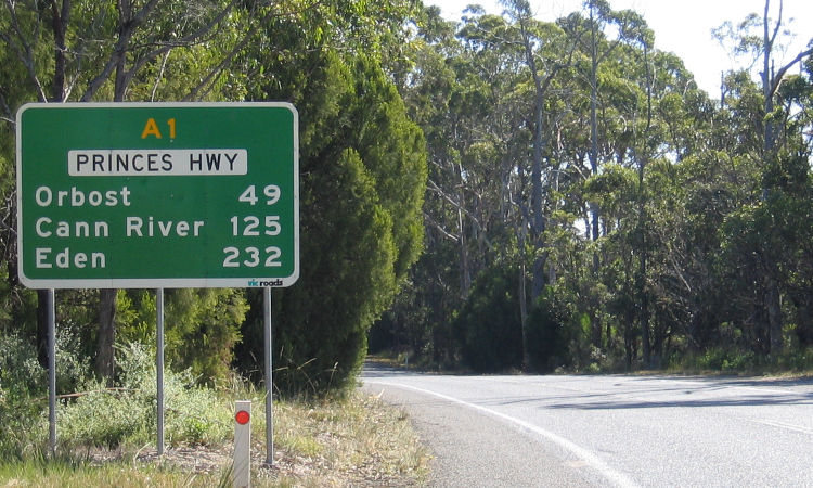
"A" roads
In regional areas, these roads usually consist of a single carriageway with the majority of them having sealed shoulders and overtaking lanes in some sections. Having a similar function to "M" standard roads, they provide high standard links between Melbourne, other capital cities and between regional centres.
In metropolitan areas, these roads are major transport corridors which are generally dual carriageway.
"A" roads in regional Victoria
| Route | Road name |
|---|---|
| A1 |
|
| A8 |
|
| A10 |
|
| A20 |
|
| A39 |
|
| A79 |
|
| A200 |
|
| A300 |
|
| A440 |
|
| A780 |
|
| A790 |
|
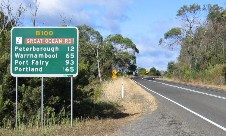
"B" roads
In regional areas, these roads are generally single carriageway roadways. They are sealed and are of a good standard. They function as primary links between regions not served by "A" roads. They also include the highly significant tourist routes of the Great Alpine Road, Great Ocean Road and Murray Valley Highway.
In metropolitan areas of Melbourne, they are secondary arterial roads.
"B" roads in regional Victoria:
| Route | Road name |
|---|---|
| B12 |
|
| B23 |
|
| B75 |
|
| B100 |
|
| B110 |
|
| B120 |
|
| B121 |
|
| B130 |
|
| B140 |
|
| B160 |
|
| B180 |
|
| B200 |
|
| B210 |
|
| B220 |
|
| B240 |
|
| B260 |
|
| B280 |
|
| B300 |
|
| B320 |
|
| B340 |
|
| B360 |
|
| B380 |
|
| B400 |
|
| B420 |
|
| B460 |
|
| B500 |
|
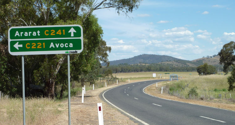
"C" roads
These roads are generally single carriageway roadways. Almost all of them are sealed and their standard is determined by usage and terrain.
They function as important links between population centres and also provide access links to the primary road network.
Some "C" roads are former highway routes with freeway bypasses having relieved them of much of their original through traffic. A few of these former highway routes are high quality dual carriageway roads, such as Princes Drive (C104) through Morwell.
There are hundreds of "C" roads throughout Victoria.
Melbourne metropolitan routes
These roads are located within Melbourne's metropolitan area and generally define major transport routes to the city and through the suburbs.
These routes may vary in standard from single carriageway roads to multi-lane arterials and highways.
Melbourne metropolitan routes are being progressively converted to "A", "B" and "C" routes as used in regional Victoria.